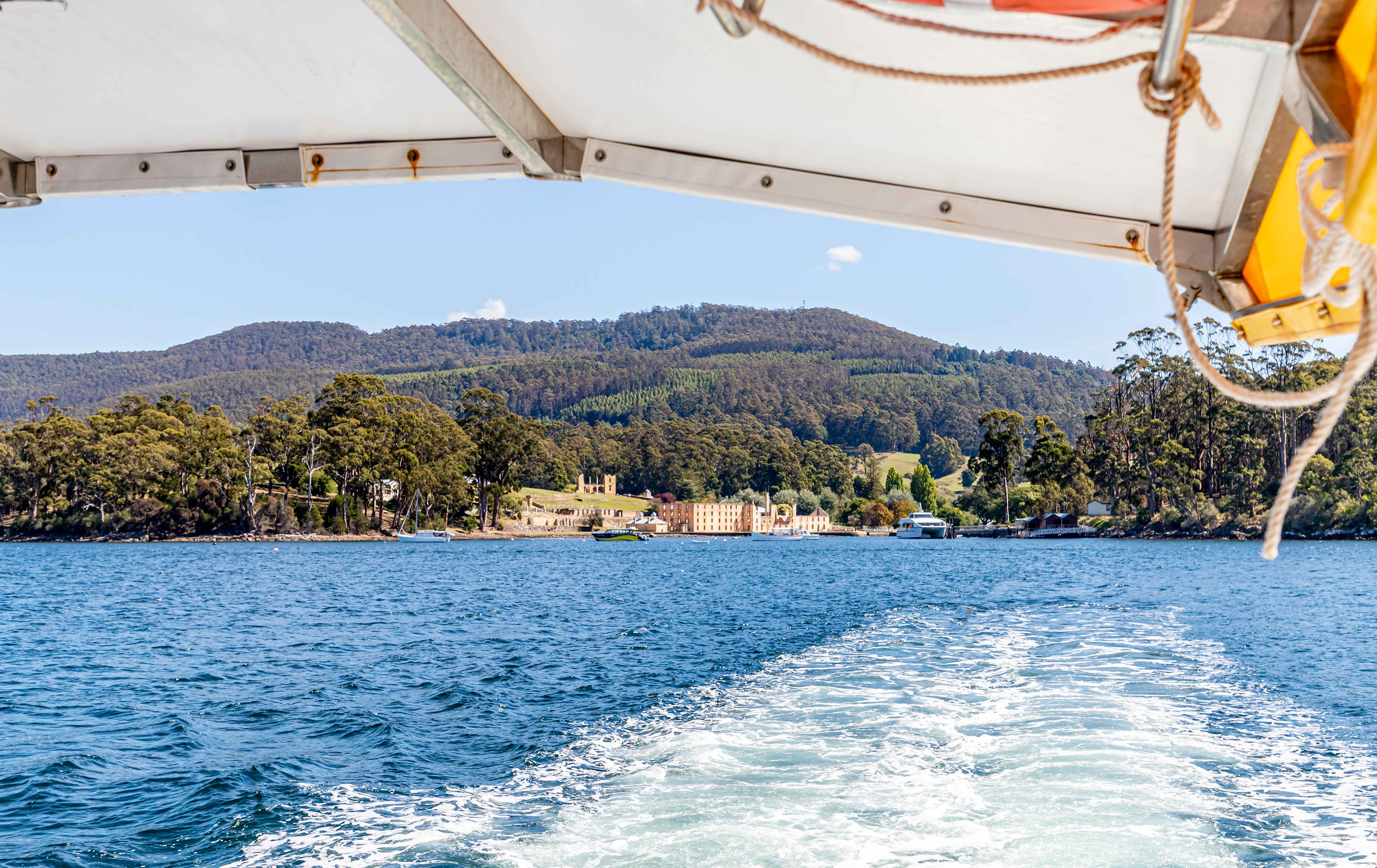
Day 1: Port Arthur to Surveyors (4 km). Walkers are ferried by boat from Port Arthur to the start of the walk at the mouth of Denmans Creek on the eastern side of Maingon Bay. While it is a relatively short distance across to the start, a 1 hour boat tour provides an introduction to the history, landscapes and environment of the region.
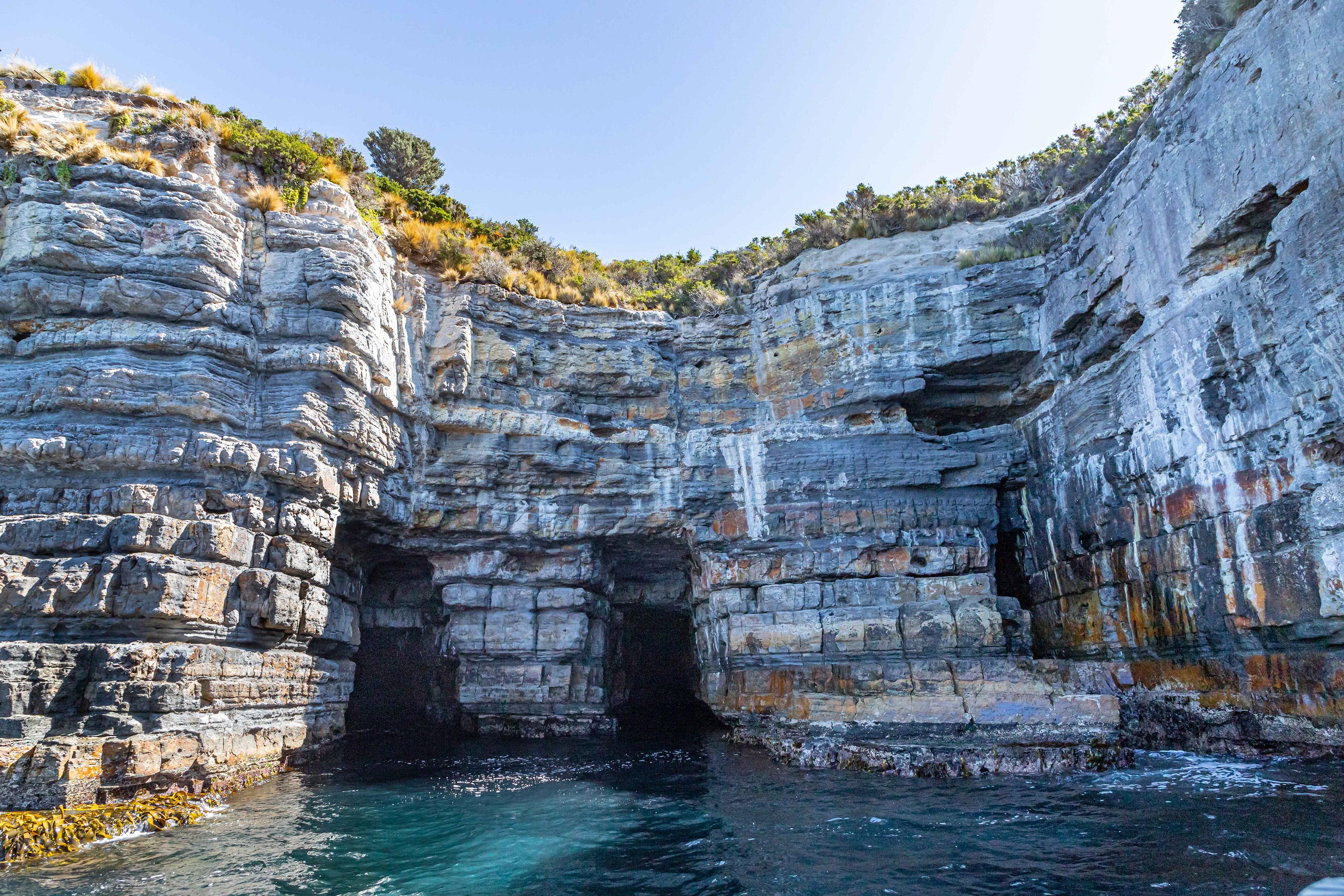
Cliffs and caves on the western side of the entry to Maingon Bay
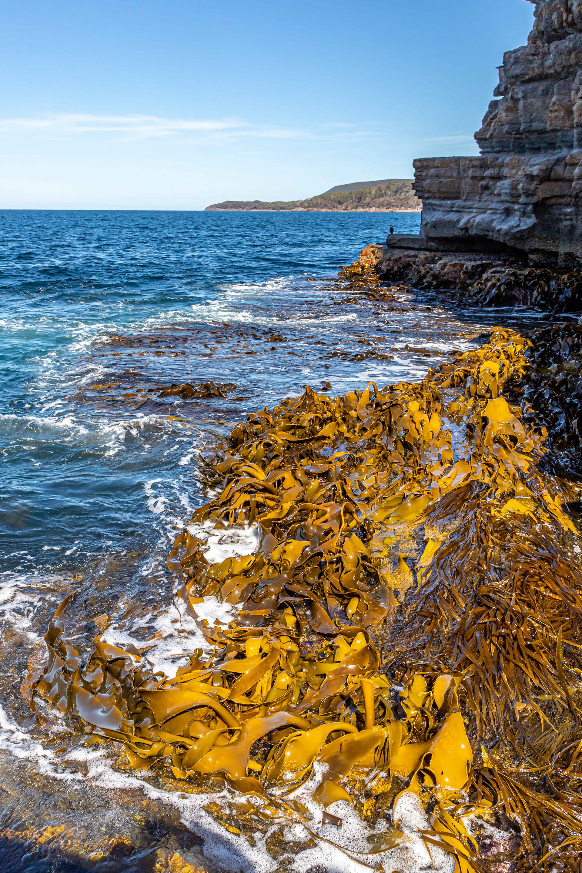
Kelp stacks near the entry to the bay
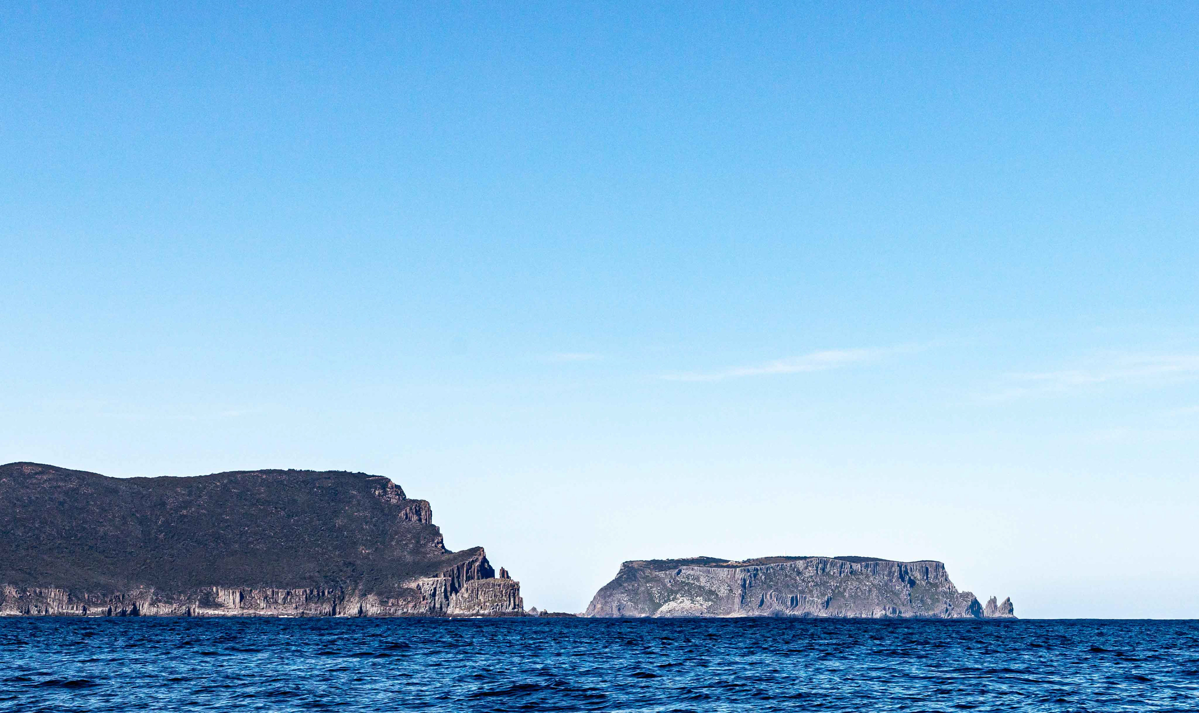
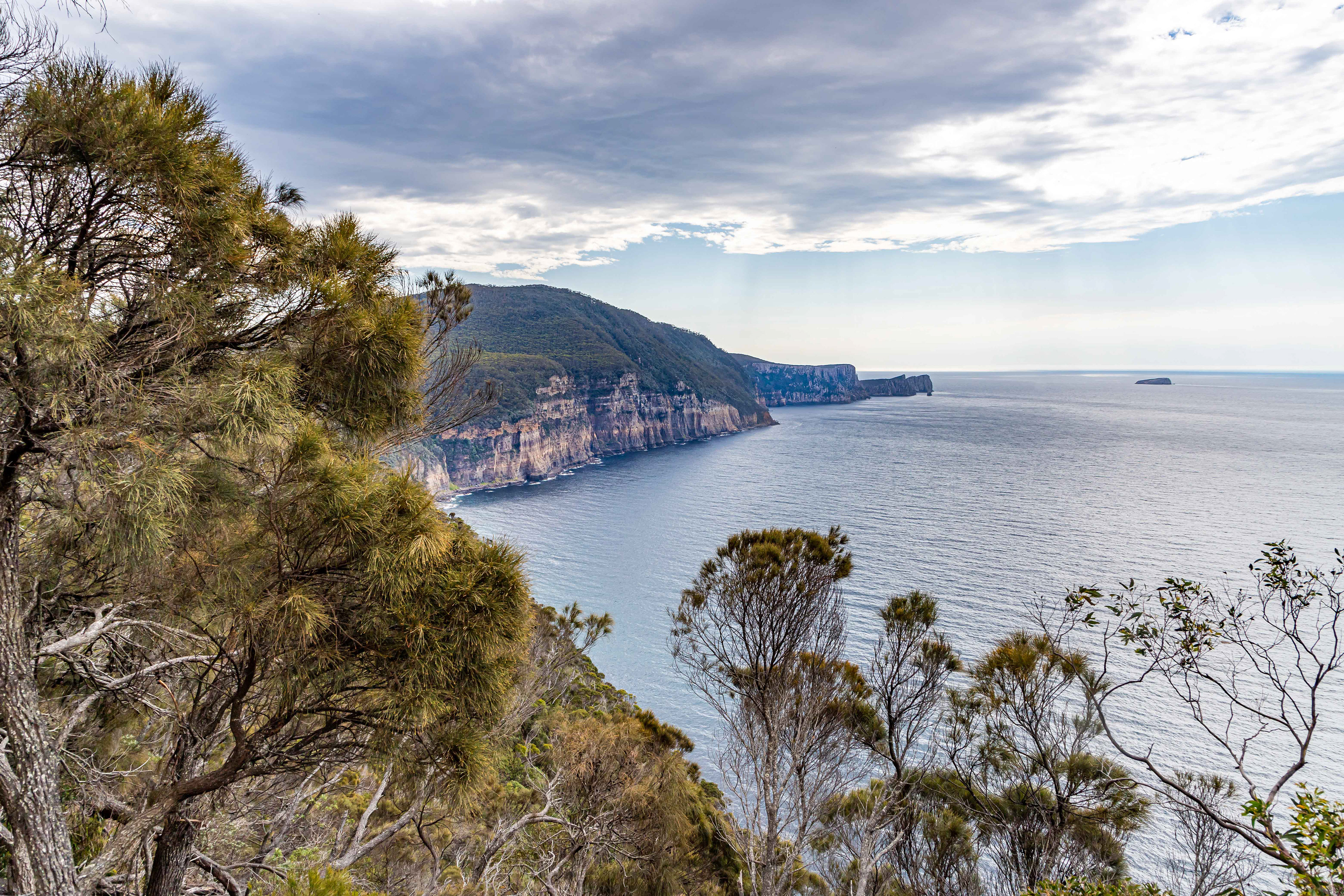
The first views of the terrain that we will be traversing in the coming days with Cape Pillar and Tasman Island very prominant landmarks. We walk to Cape Pillar on the third day.

Looking back to the west is Cape Raoul. This is in fact the third cape (as in 3 capes walk) although it is currently not included in the typical walk undetaken by most. We added this cape to the itinerary on day 5.

The start of the Three Capes Track at the mouth of Denmans Creek. Many walkers strip off for a quick dip before heading to the first hut which is only 4km away, although for some reason it felt like a lot further-could have been the 12-15kg back pack. A maximum of 48 walkers commence the walk daily.
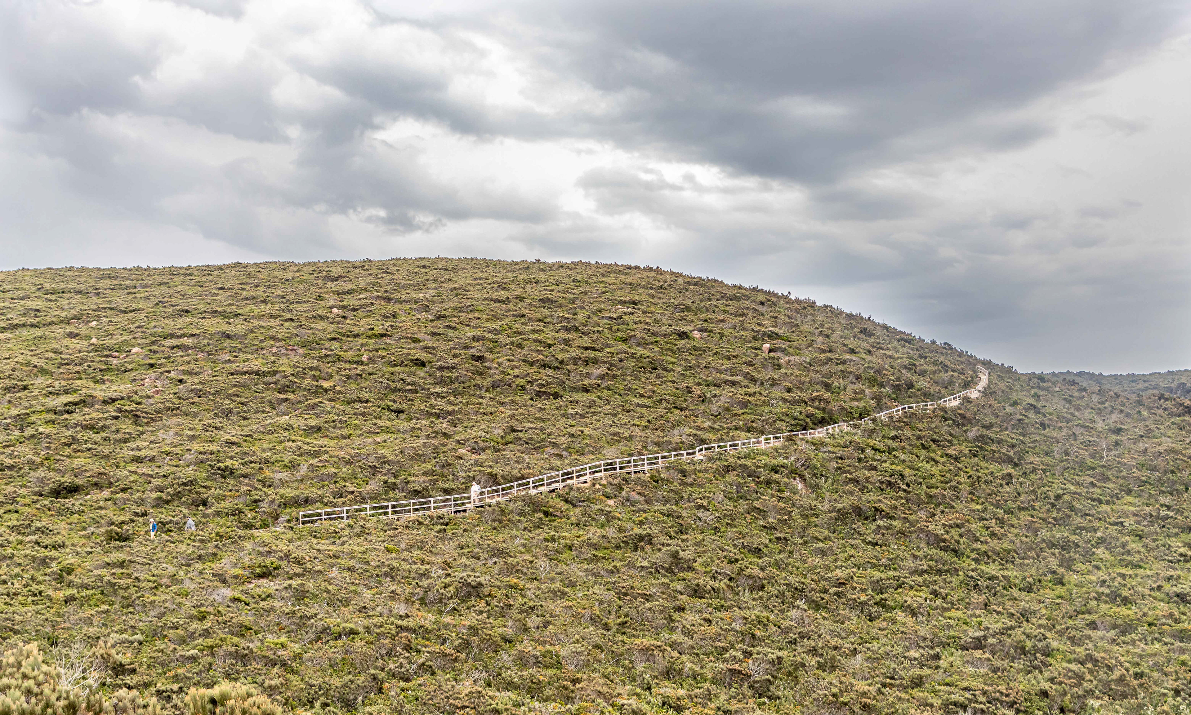
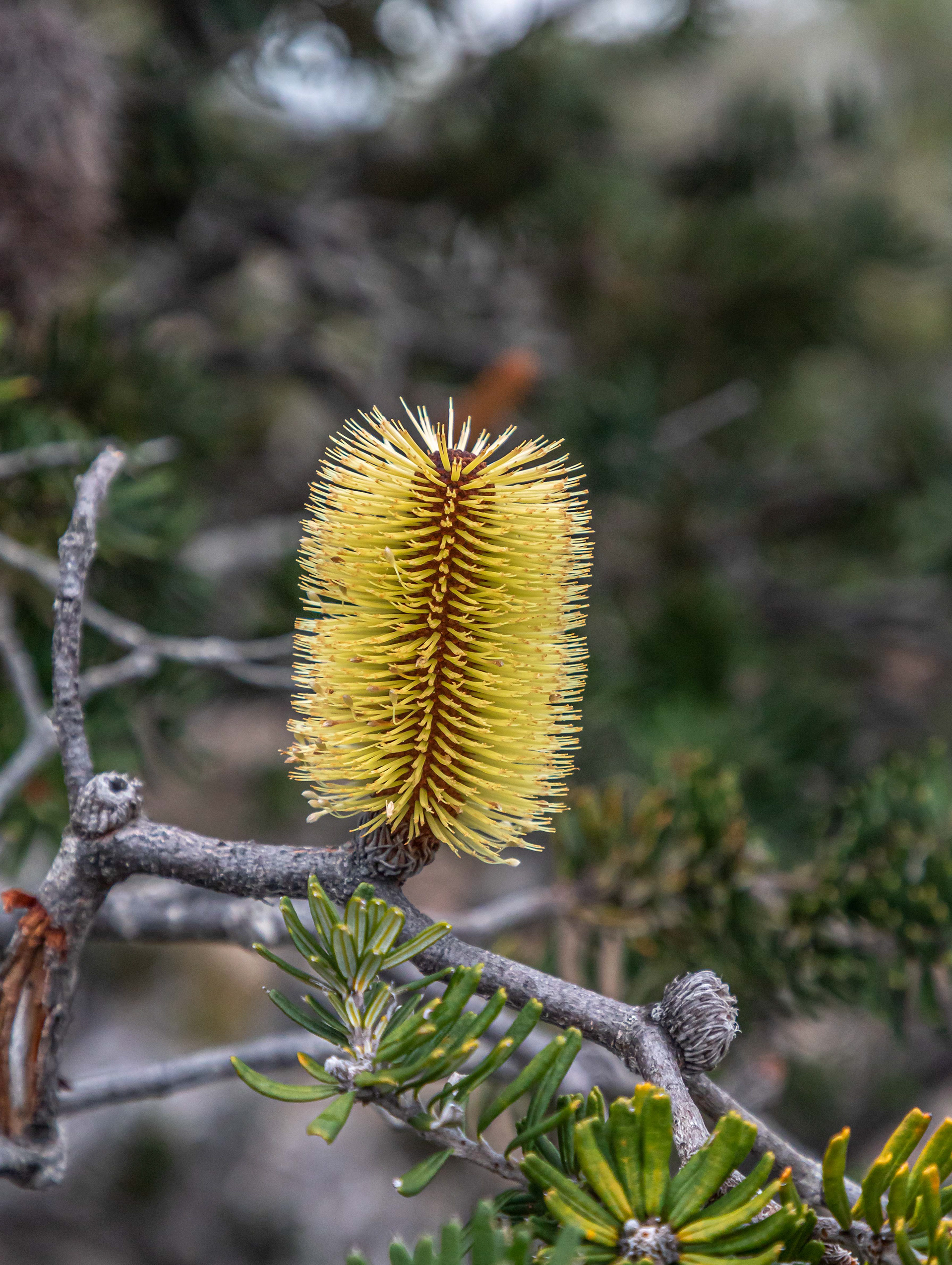
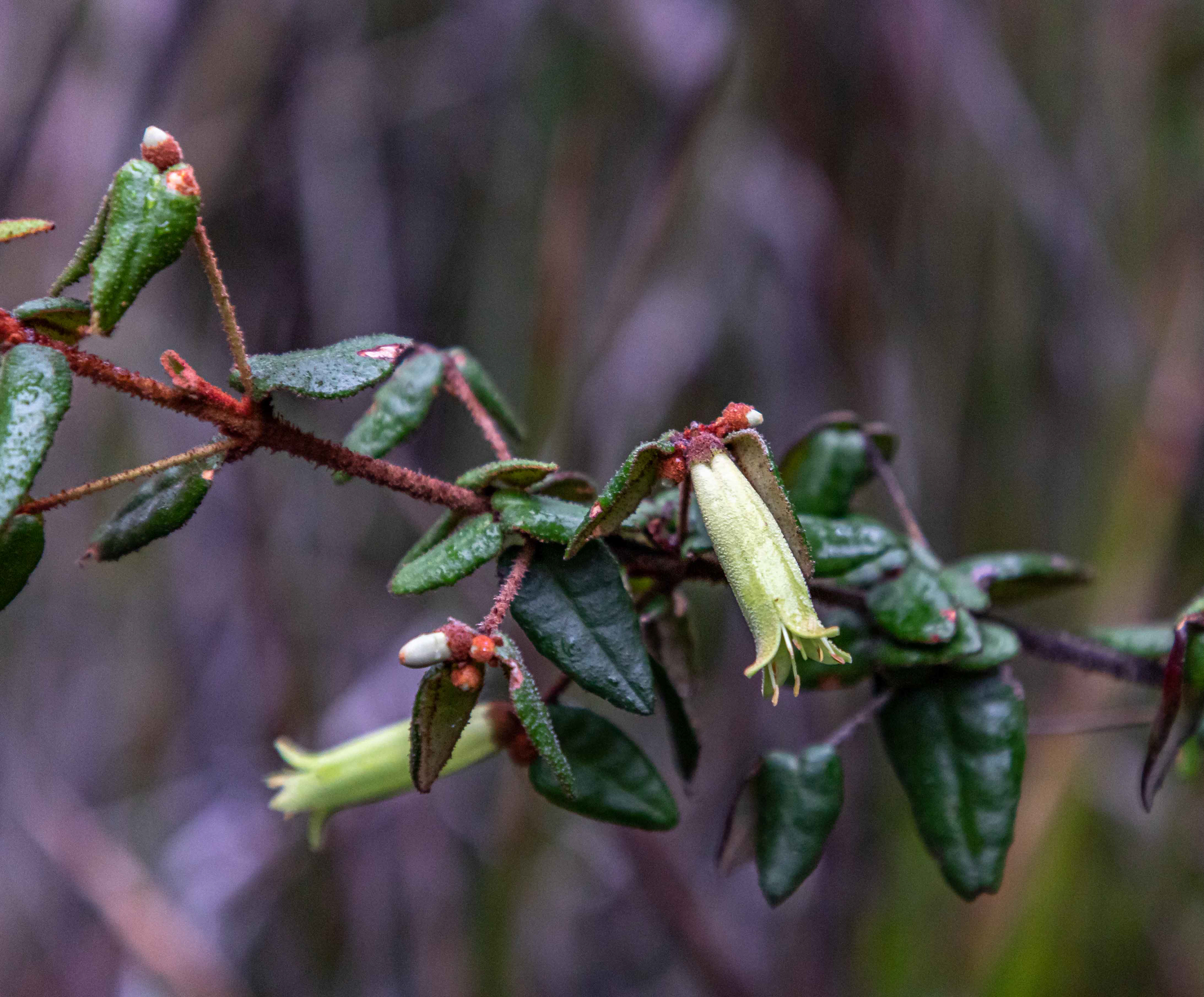
Unusually, there is almost no signage along the whole 48 km of track, apart from the odd sign warning of the danger of going too close to the edge. In a refreshing approach, each walker is provided a 94 page glossy booklet (excellent publication) which covers everything that you might need to know about the actual walk, the plants and animals encountered, the geological and climatic influences on the region and human interest stories.

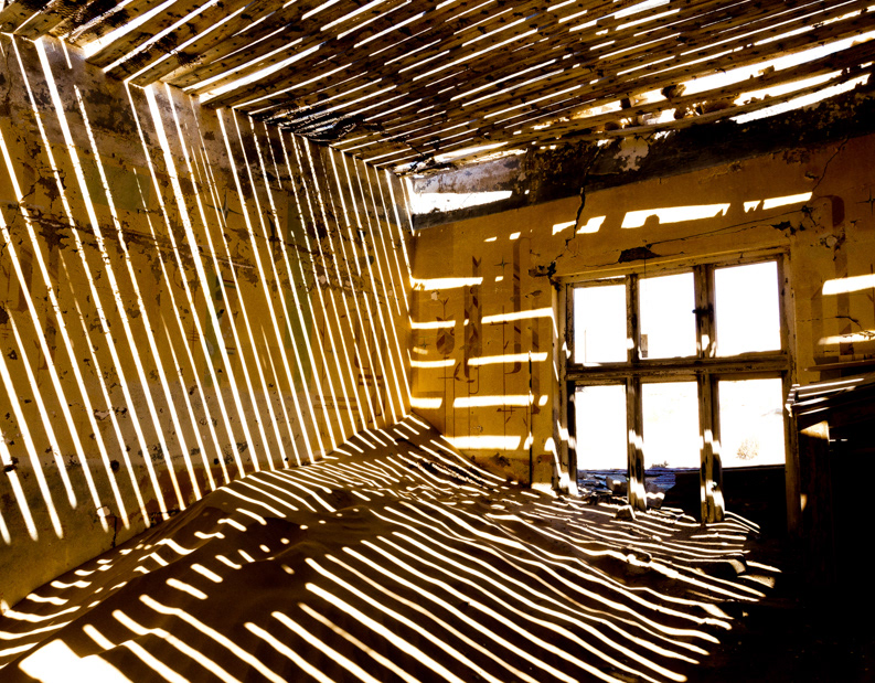
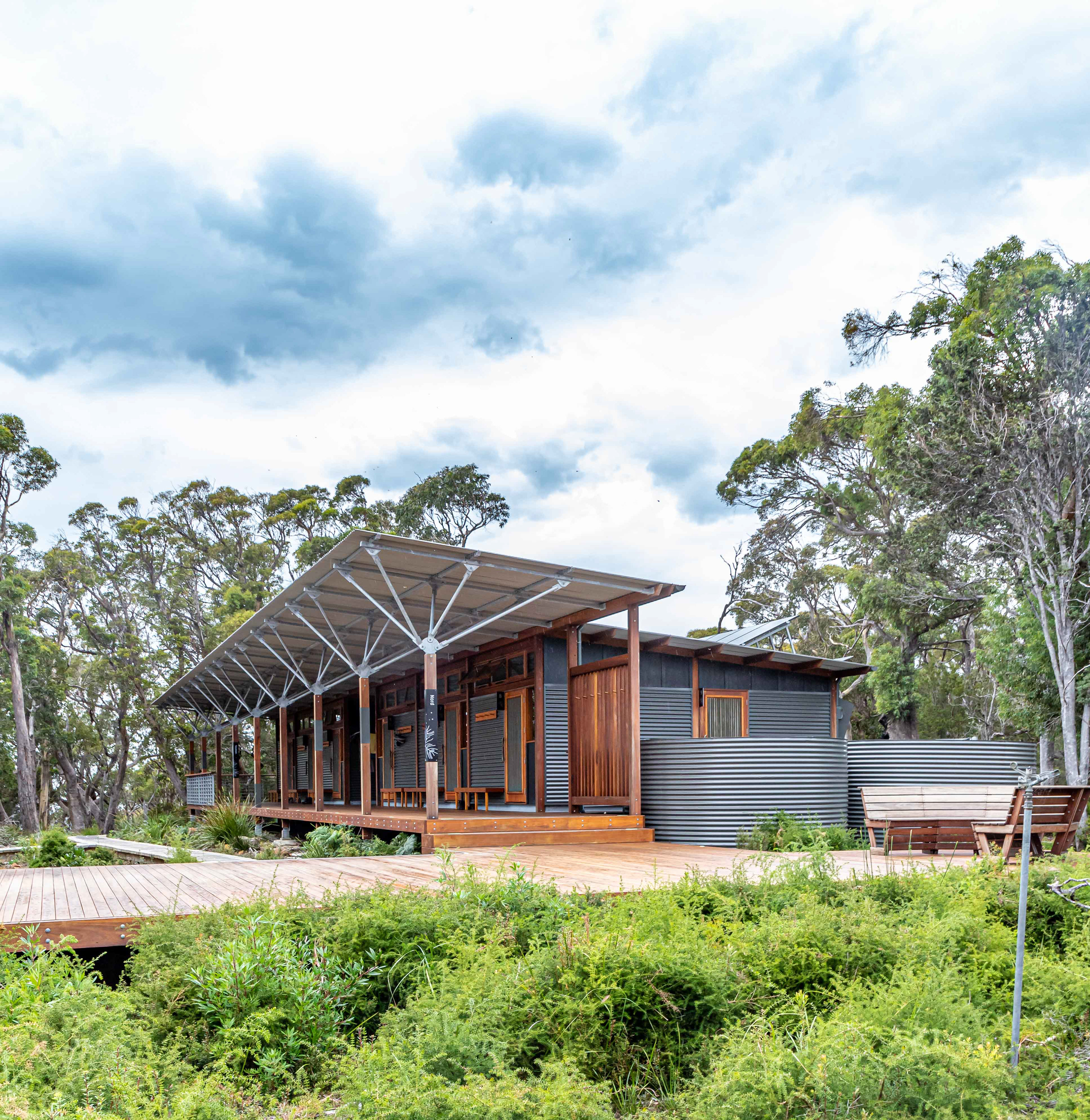
Surveyors Hut. The first of 3, all of a similar design. Certainly the best walking accommodation that we have seen anywhere in the world-well done Tassie.
View towards Cape Raoul from Surveyor hut. While not seen in the image, a wombat was grazing in the foreground.
Day 2: Surveyors to Munro (11 km). On Arthurs Peak.
From Arthurs Peak looking west towards Mt Brown and Cape Raoul
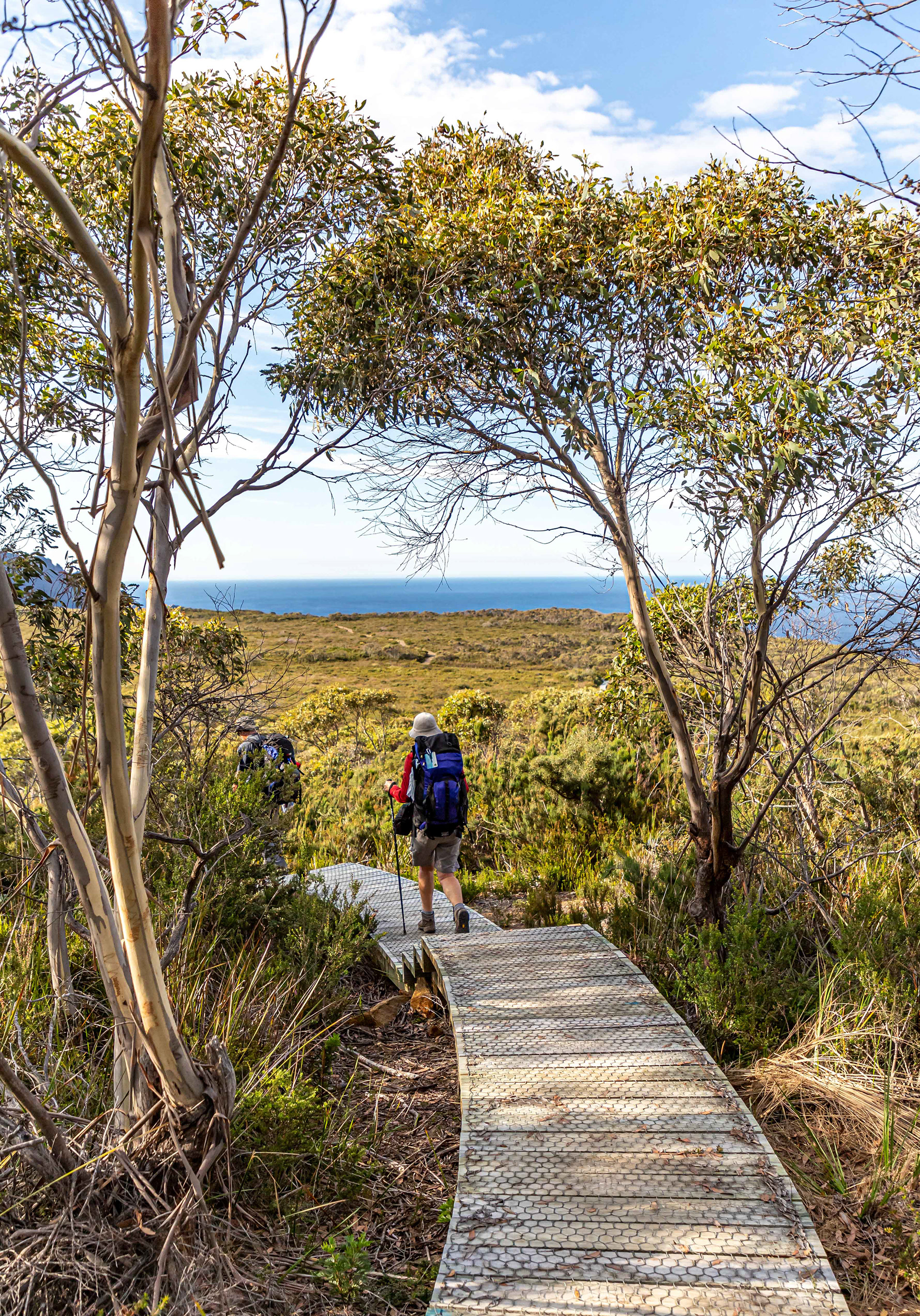
Heading towards Cape Pillar. Board walks are used on much of the track to minimise environmental degredation.

It's a hard life
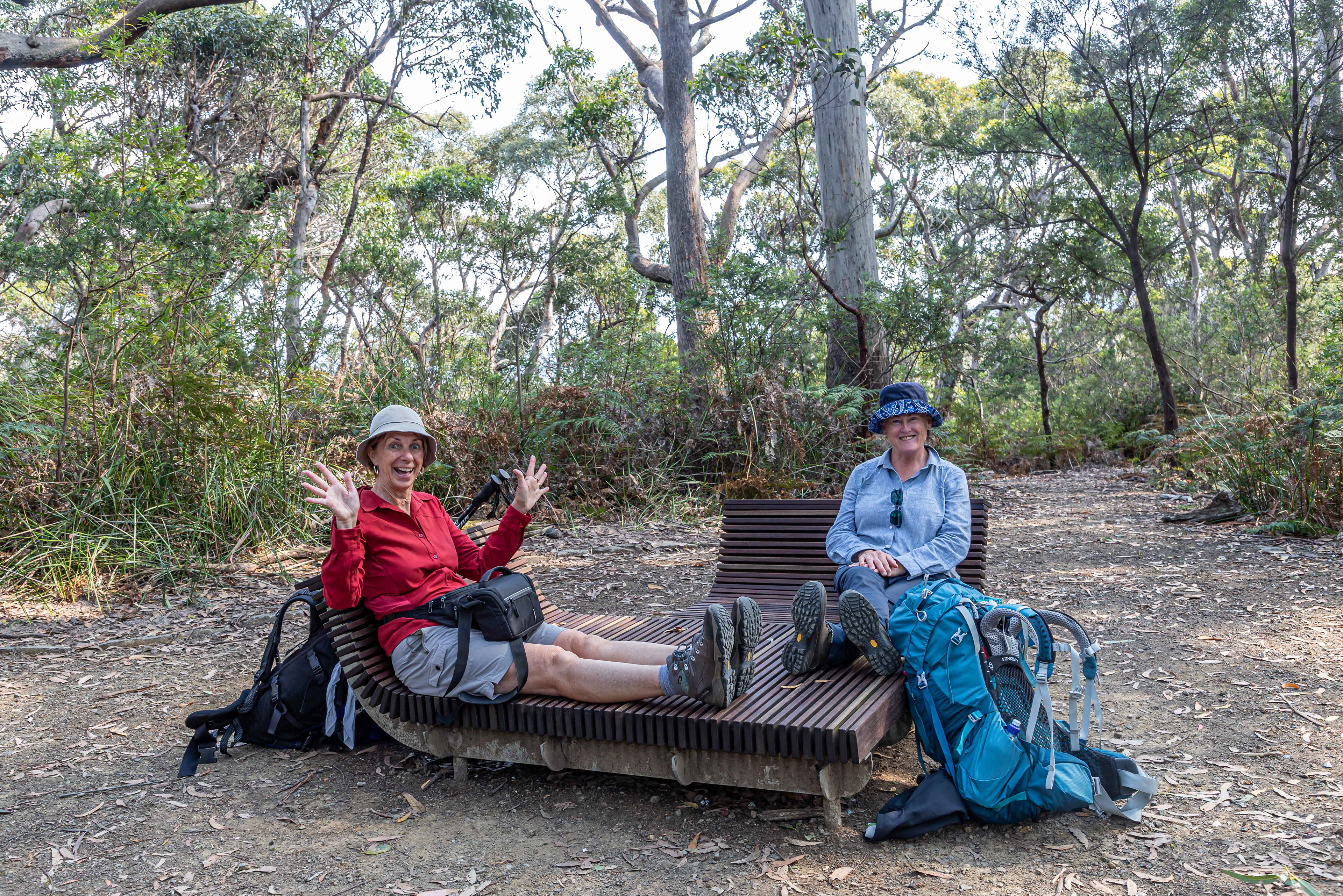
Made for walking

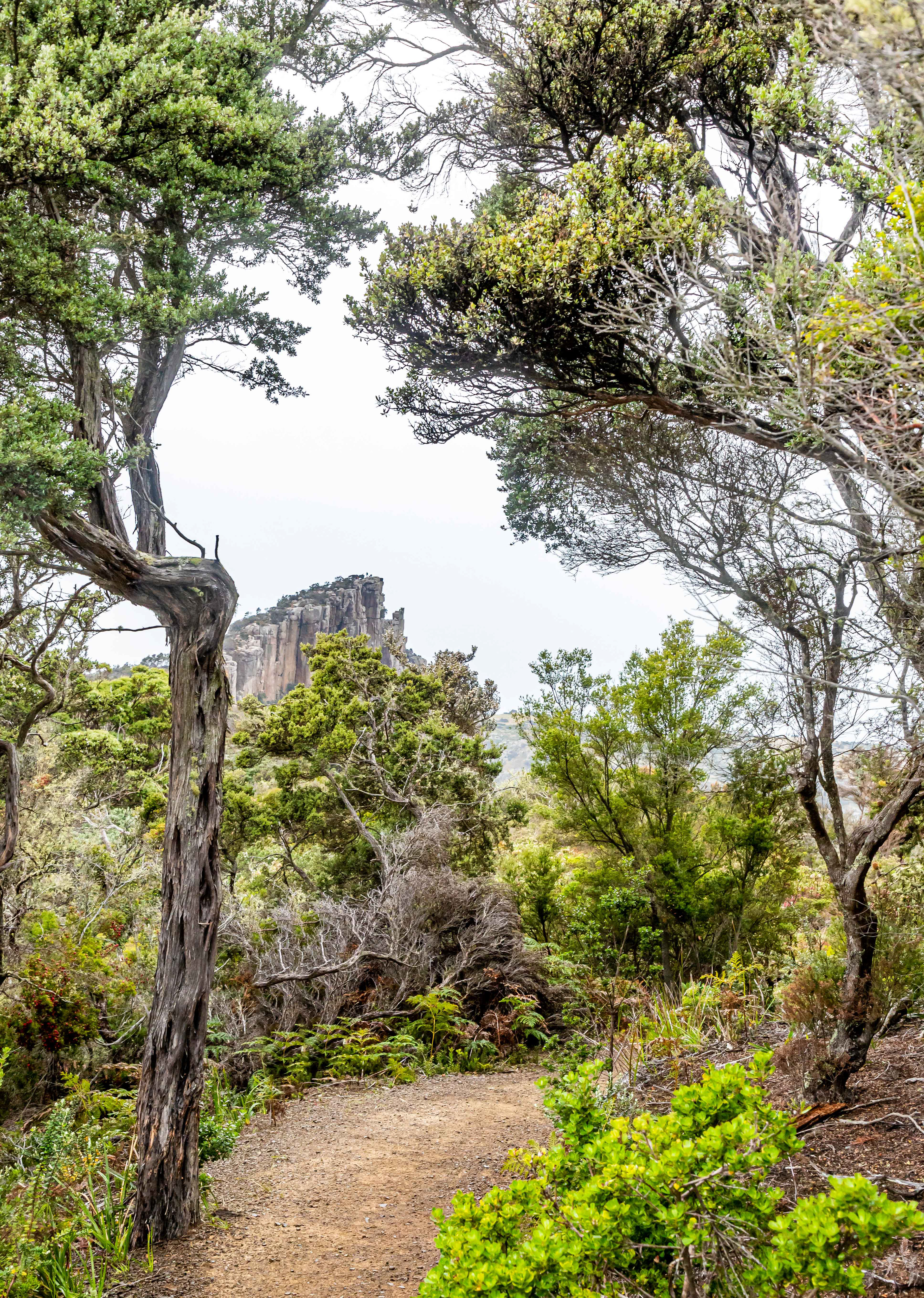
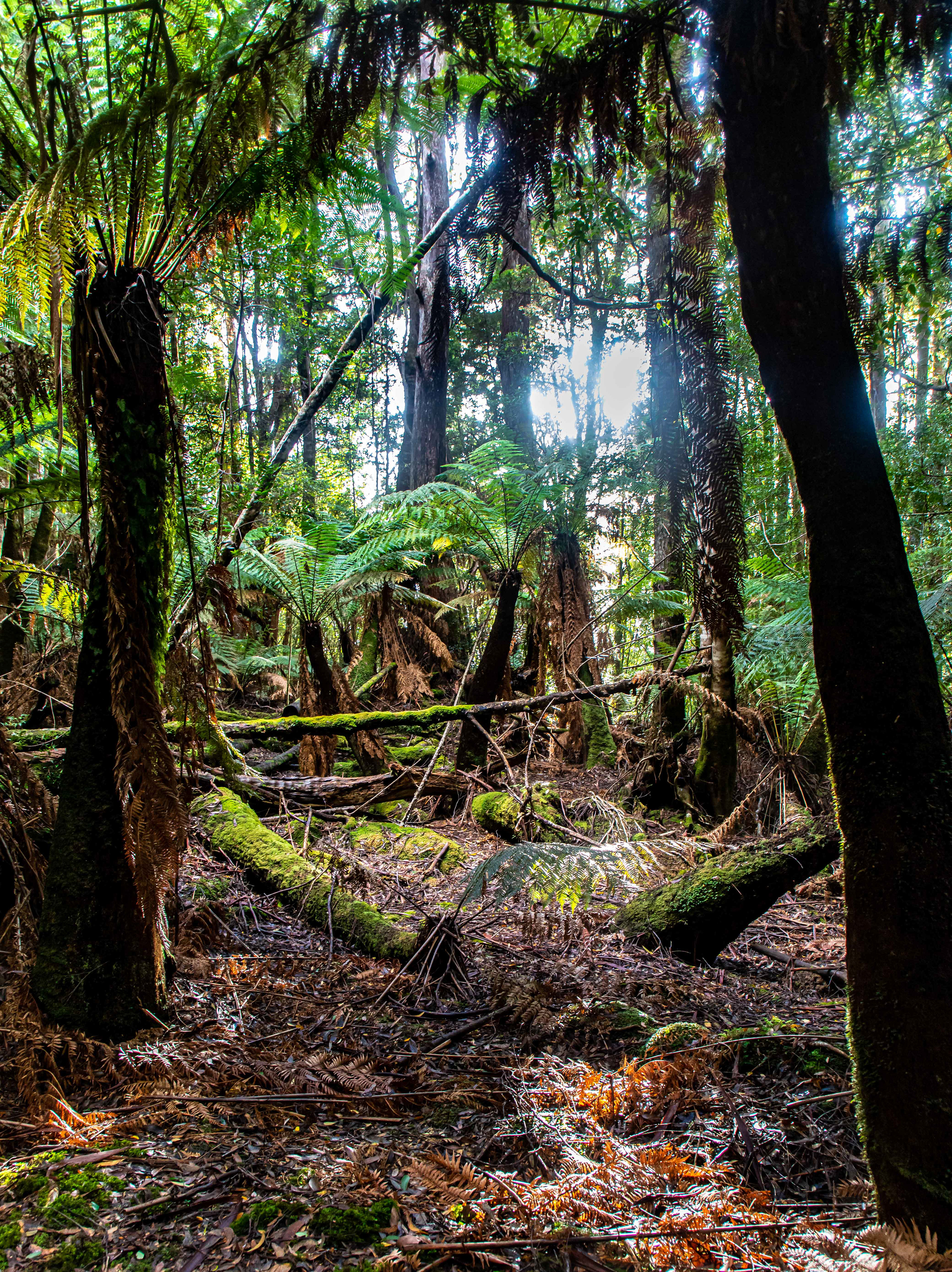
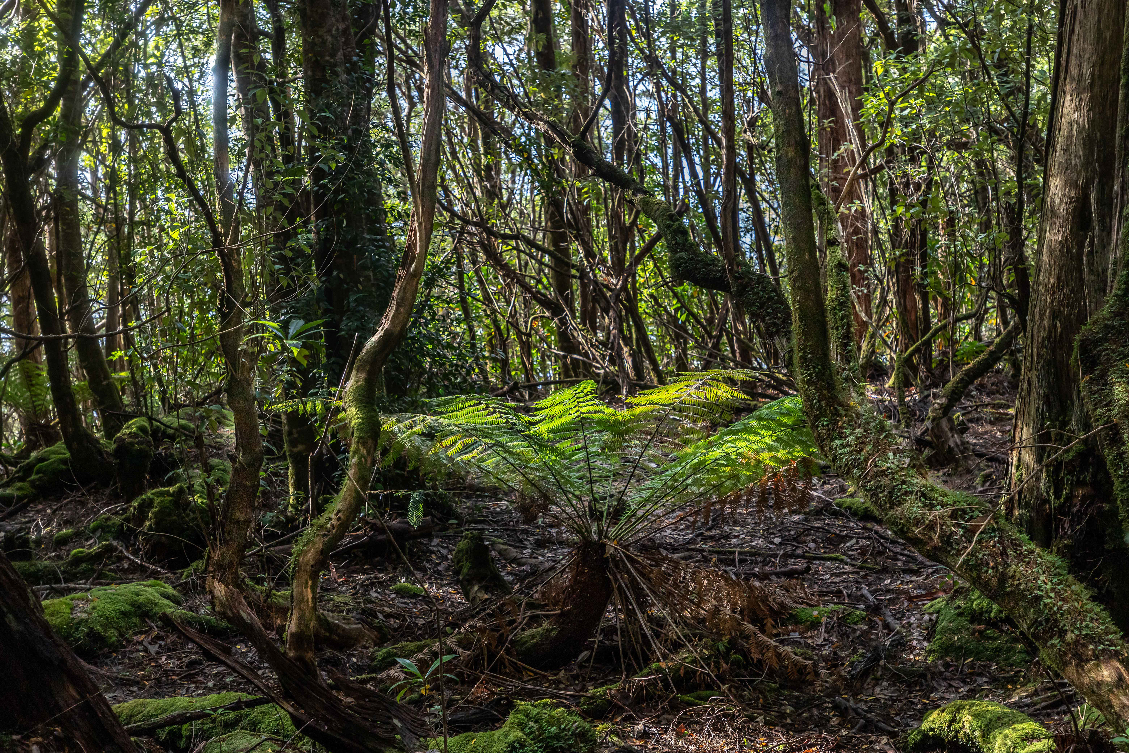
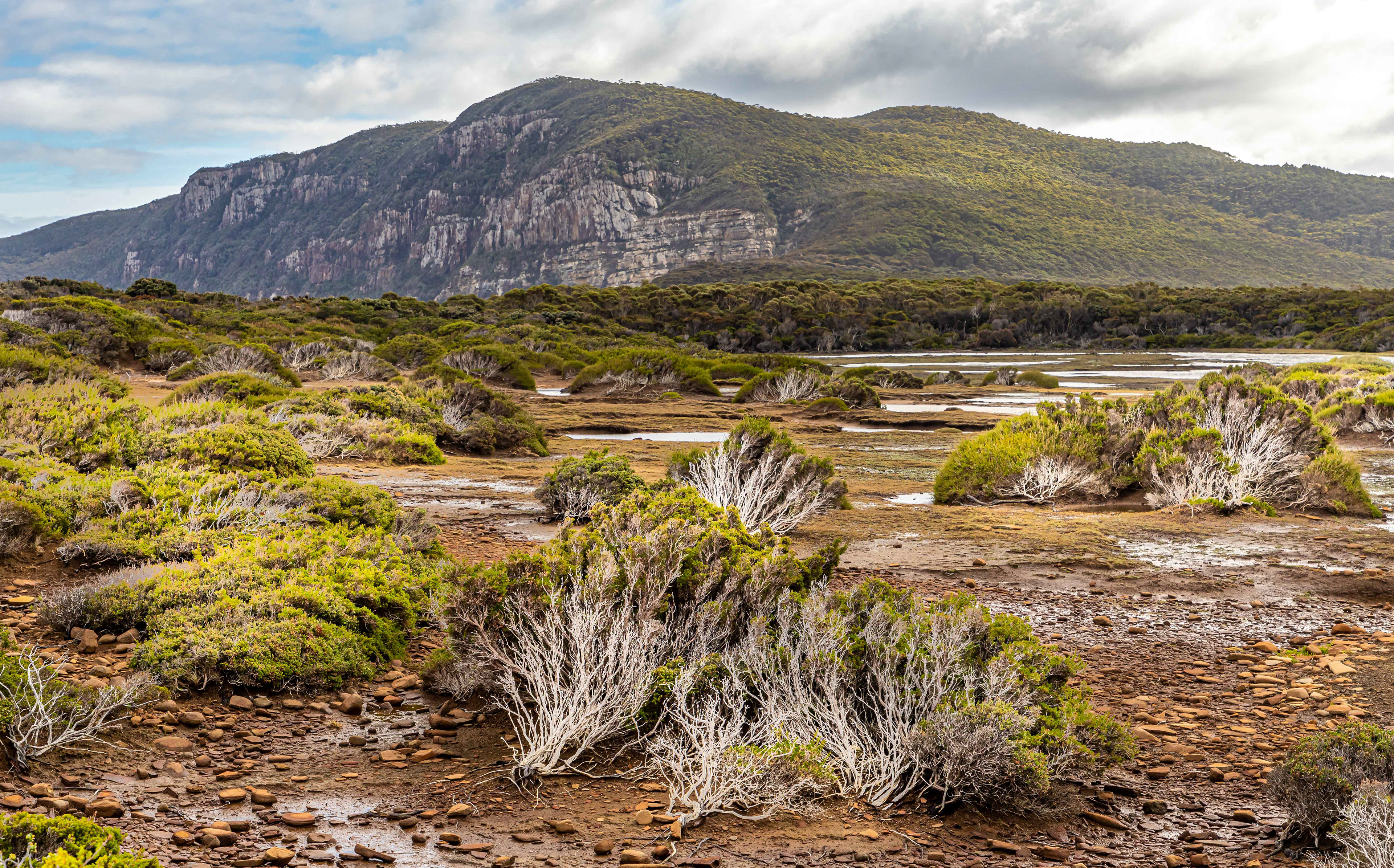
The track wends its way through amazing and everchanging ecosystems and landscapes, from heath plateaus to cloud forests.


Munro Hut included a hot shower.....luxury. Two kitchens and common areas are provided at each site with bunk rooms accommodating either 4 or 8 persons. Bring your ear plugs.

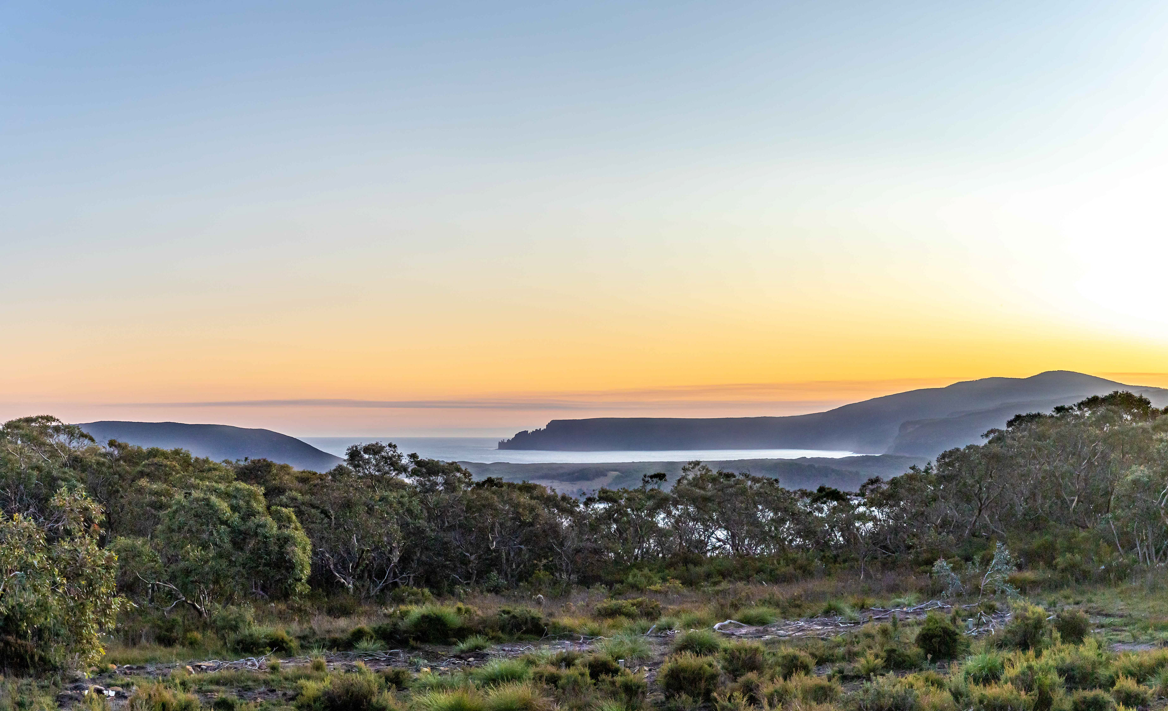
Looking towards Cape Hauy from the amazing viewing platform at Munro
Looking across Munro Bight to Cape Hauy, an intermediate destination on the way to Fortesque Bay on Day 4
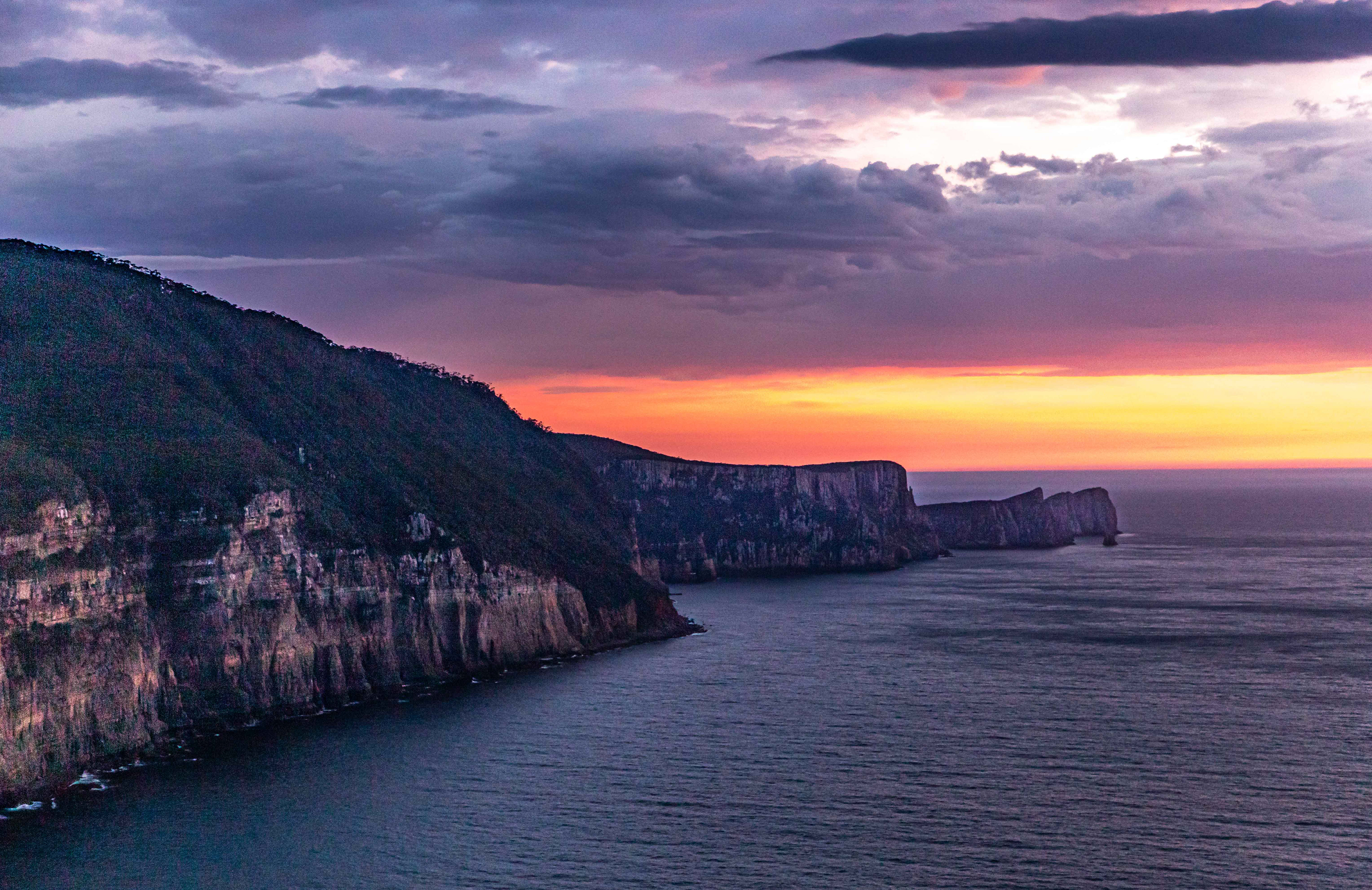

Sunrise at Munro
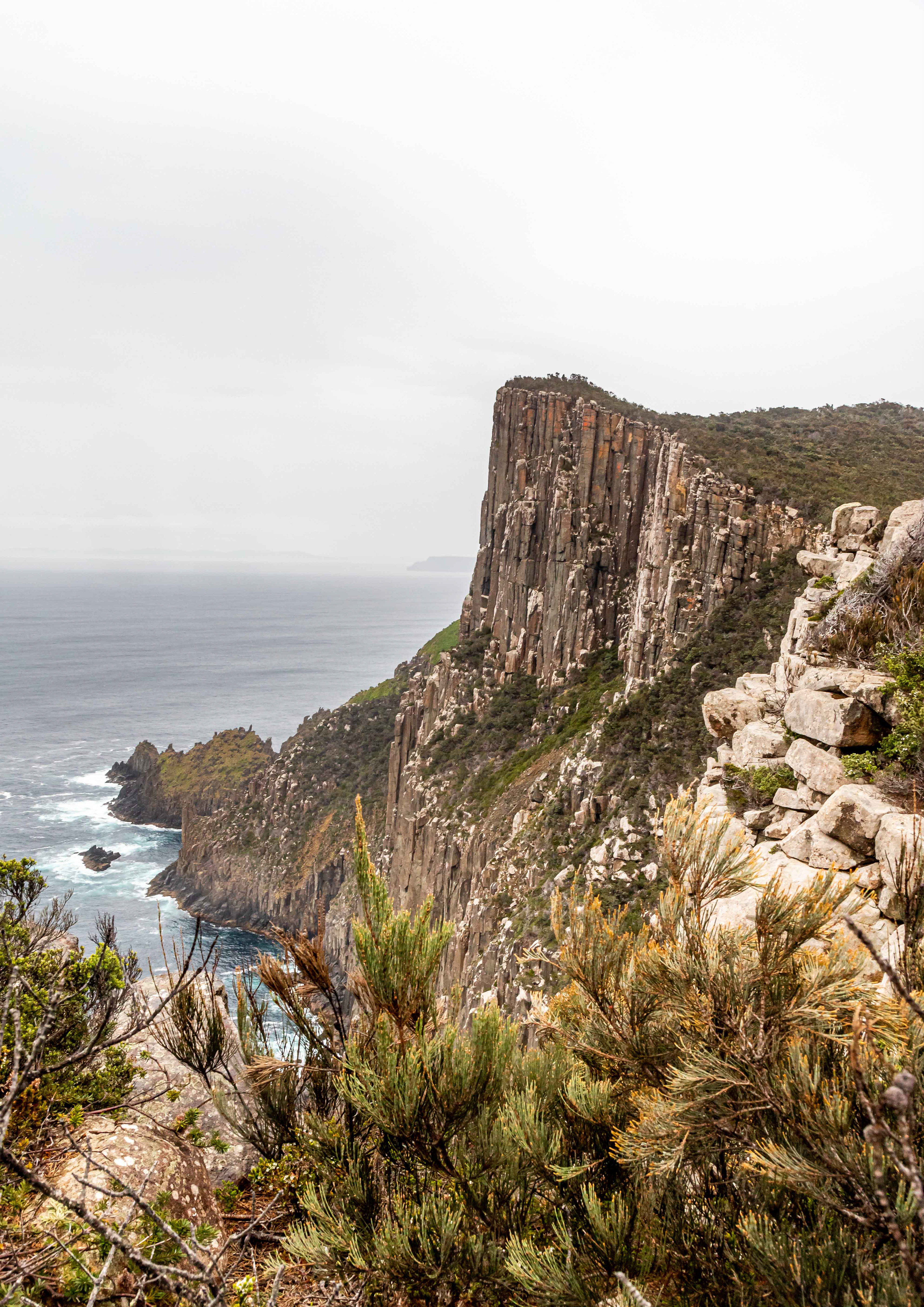
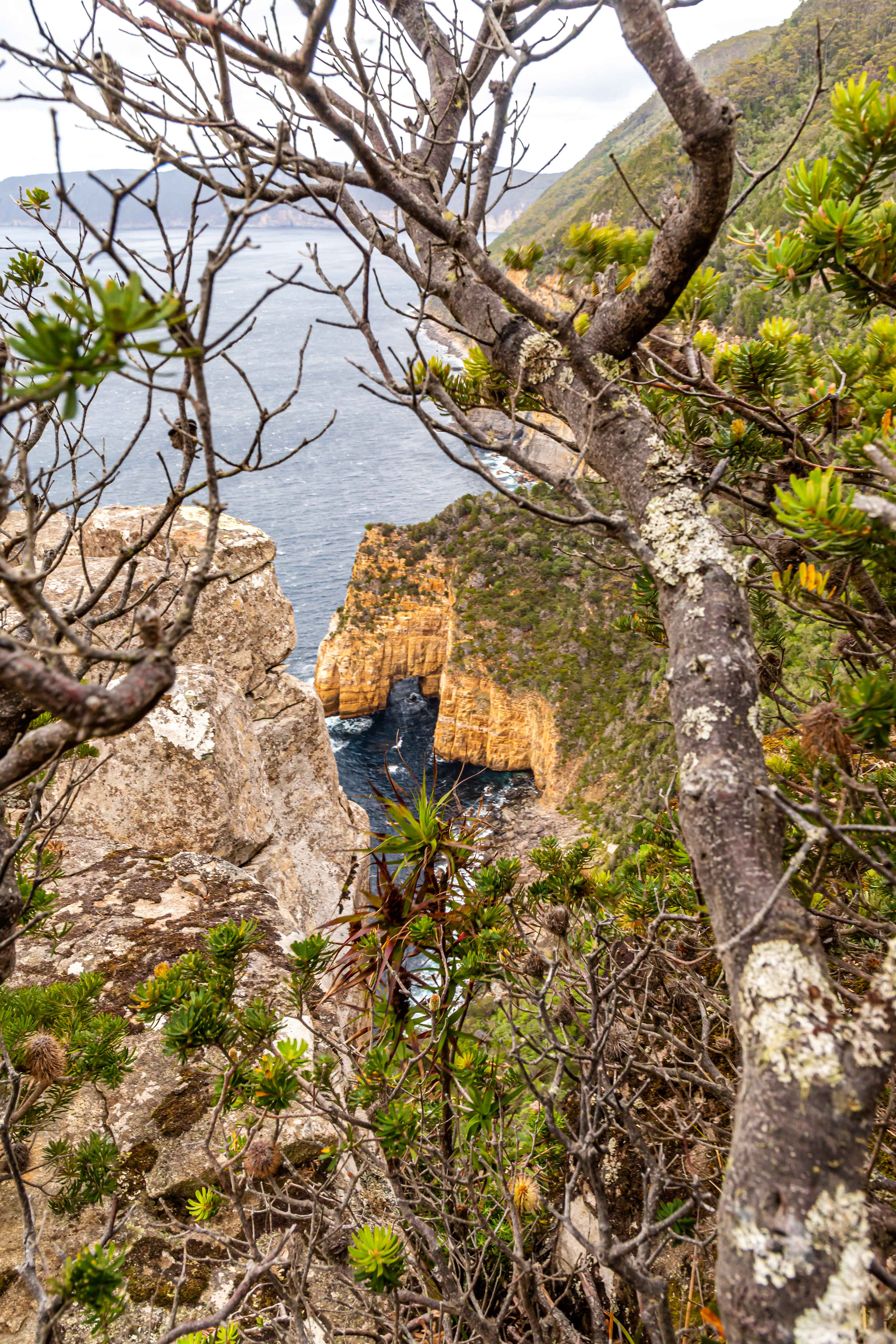
Day 3: Munro to Retakunna (19 km). Heavy backpacks were replaced by day packs for the 16 km return walk to Cape Pillar. It was then back to the heavies for the final 3km walk in the rain to Retakunna hut.


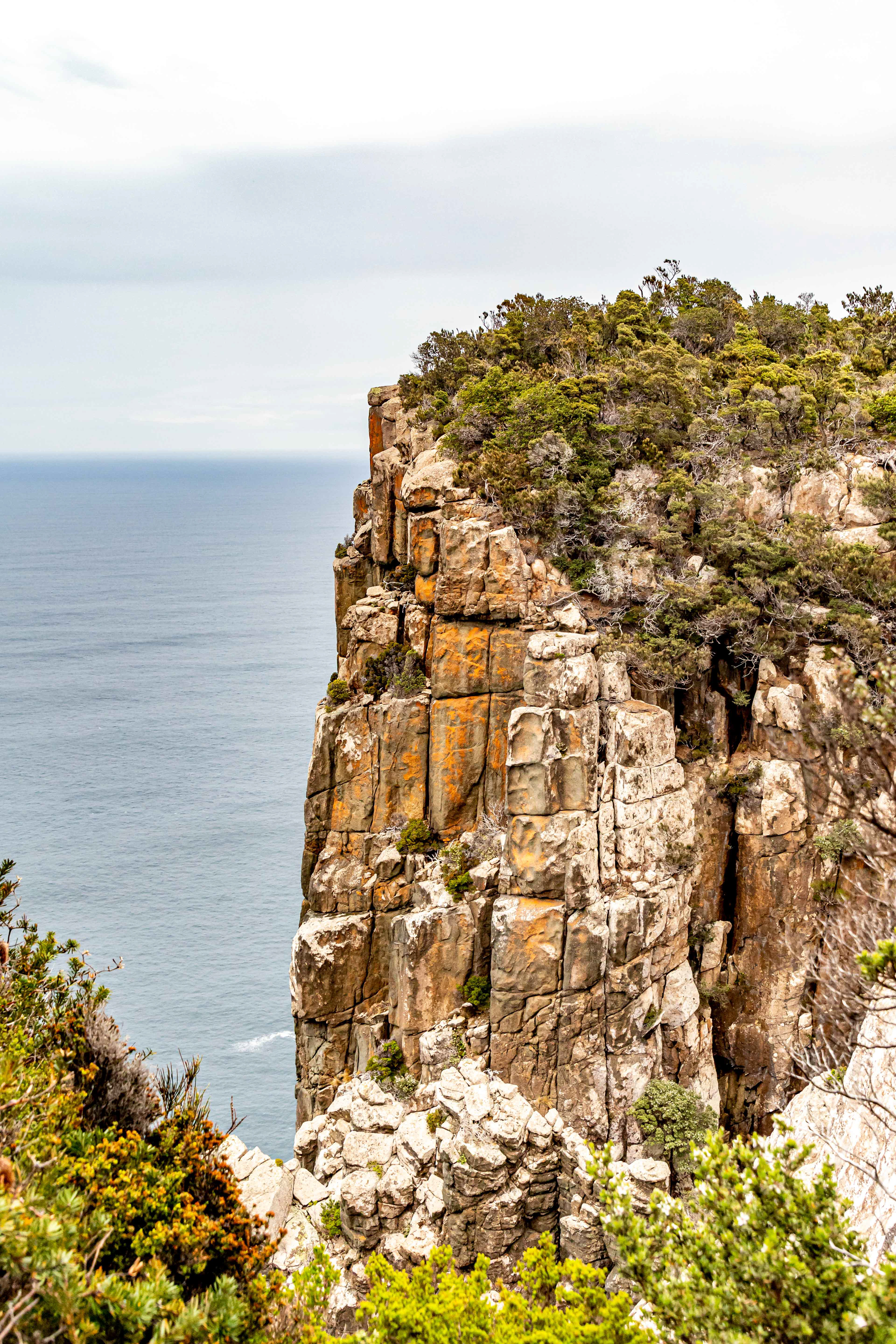
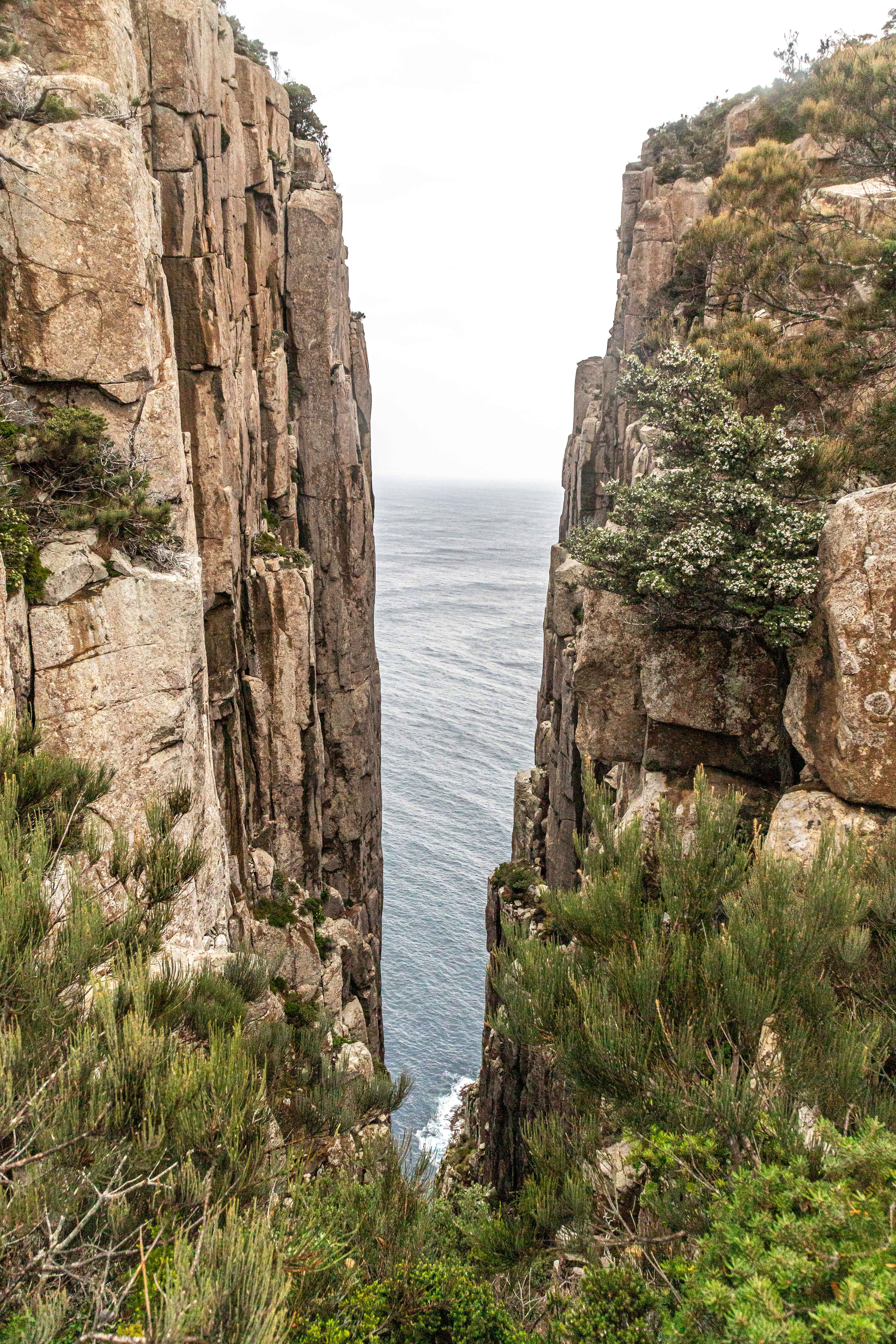
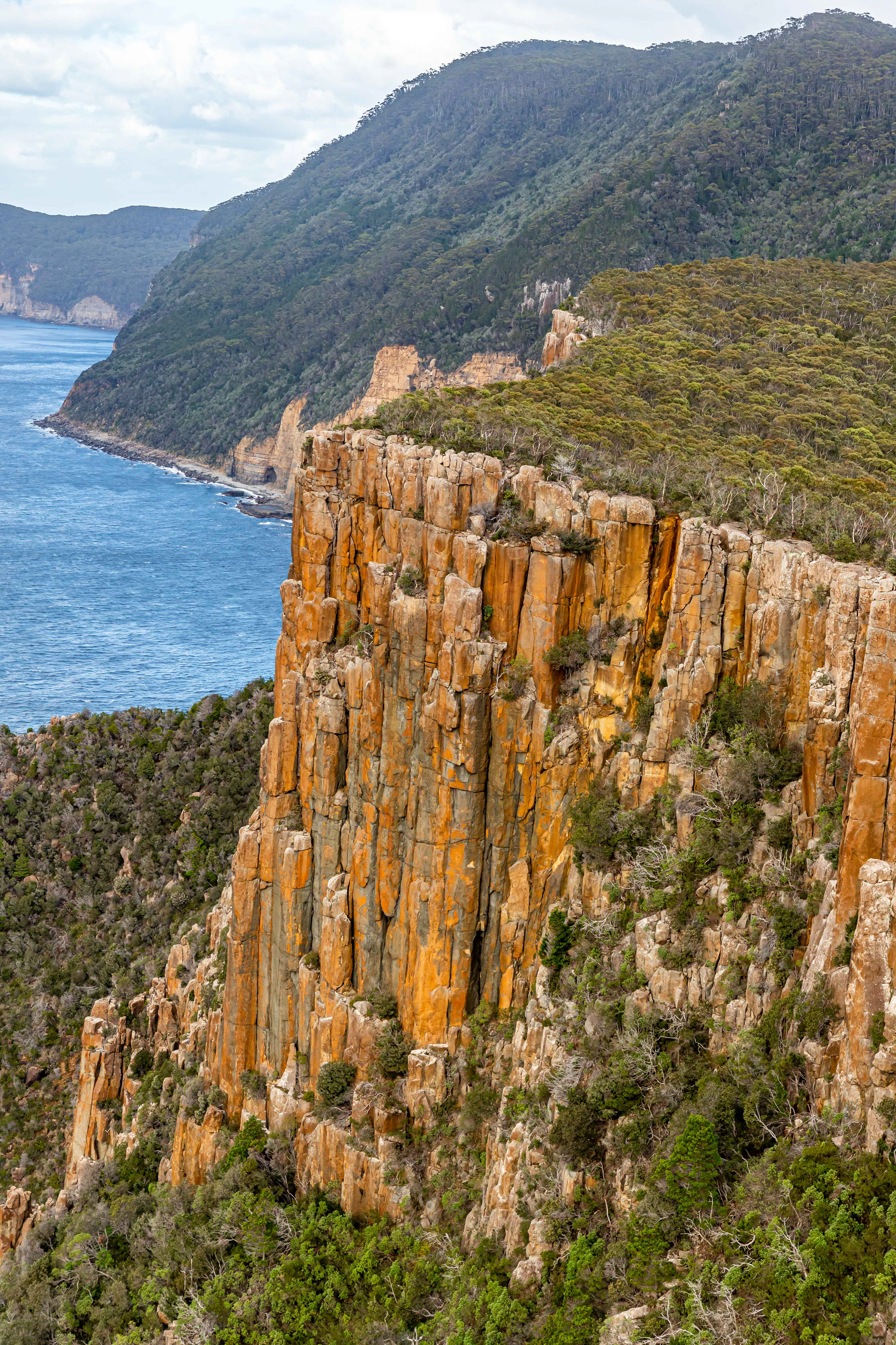
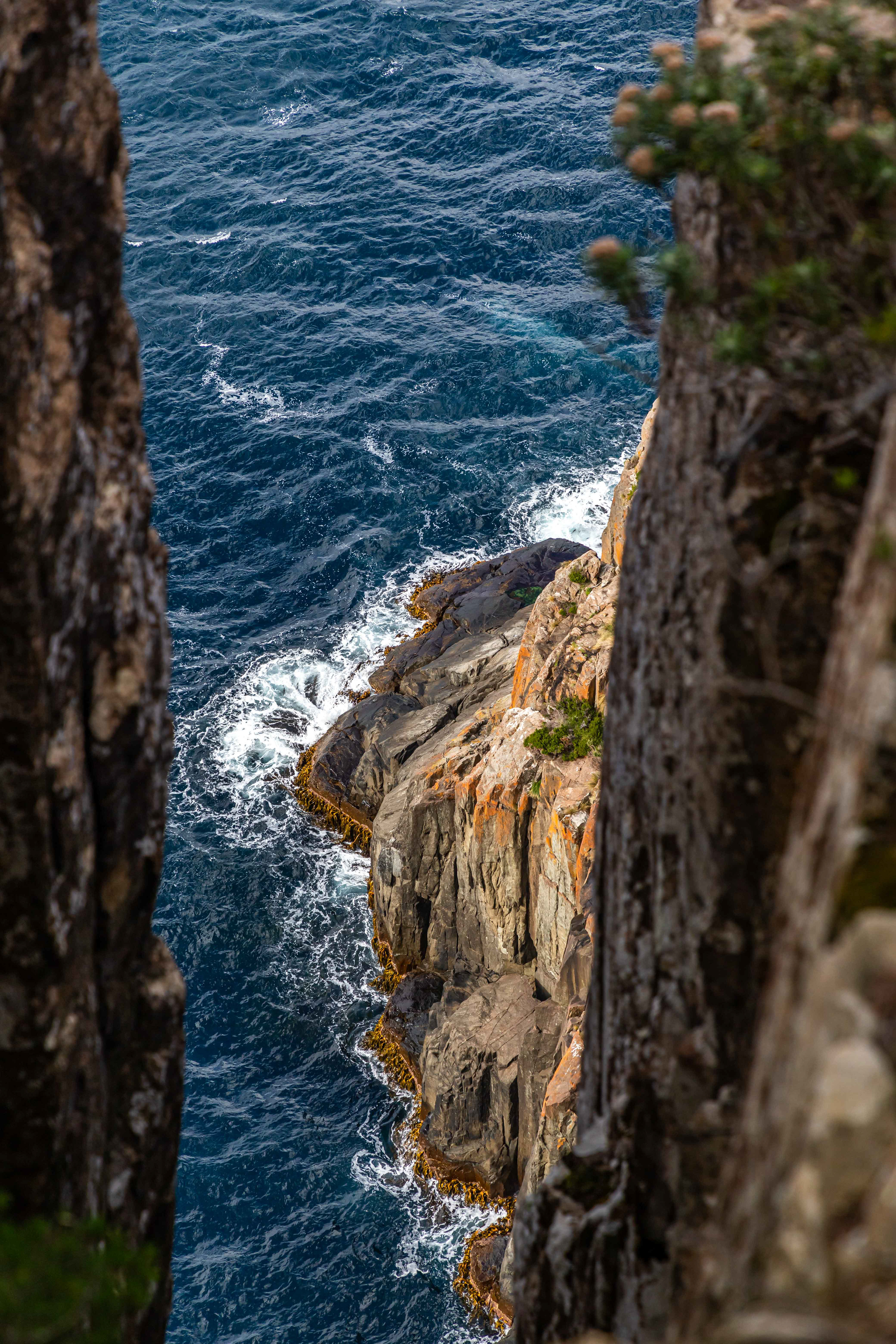
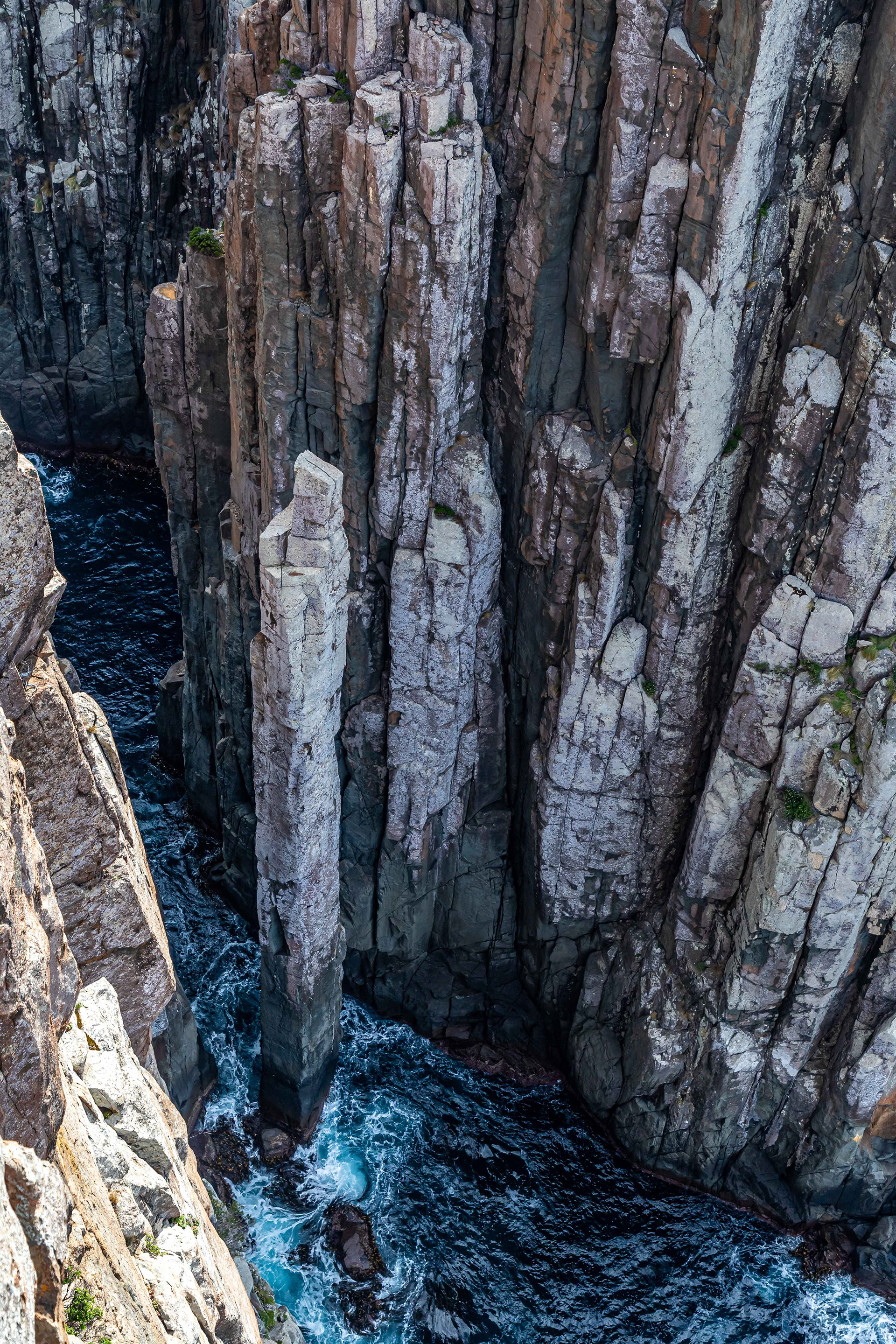
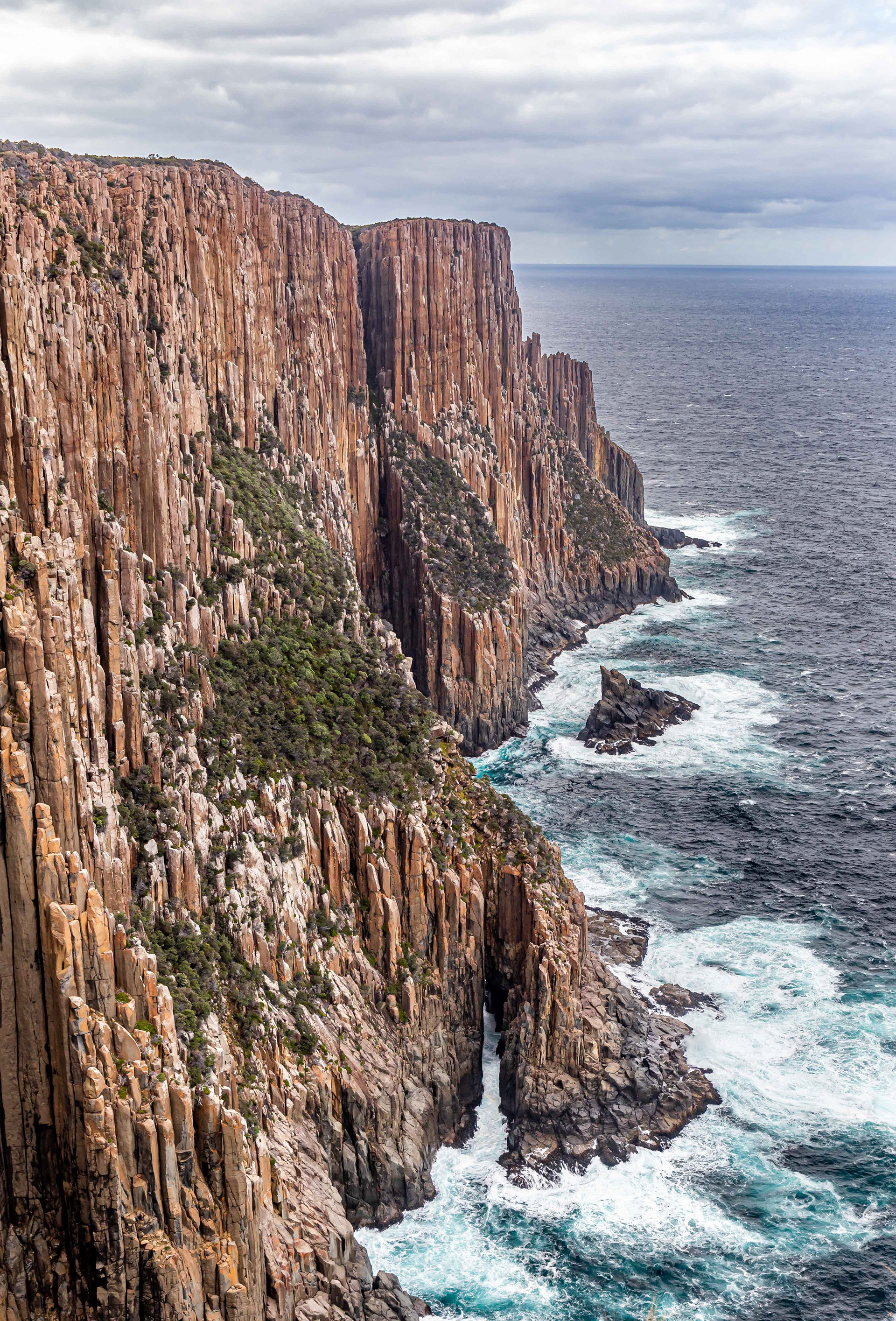
Dolerite columns, Cape Pillar

Towards Cape Pillar
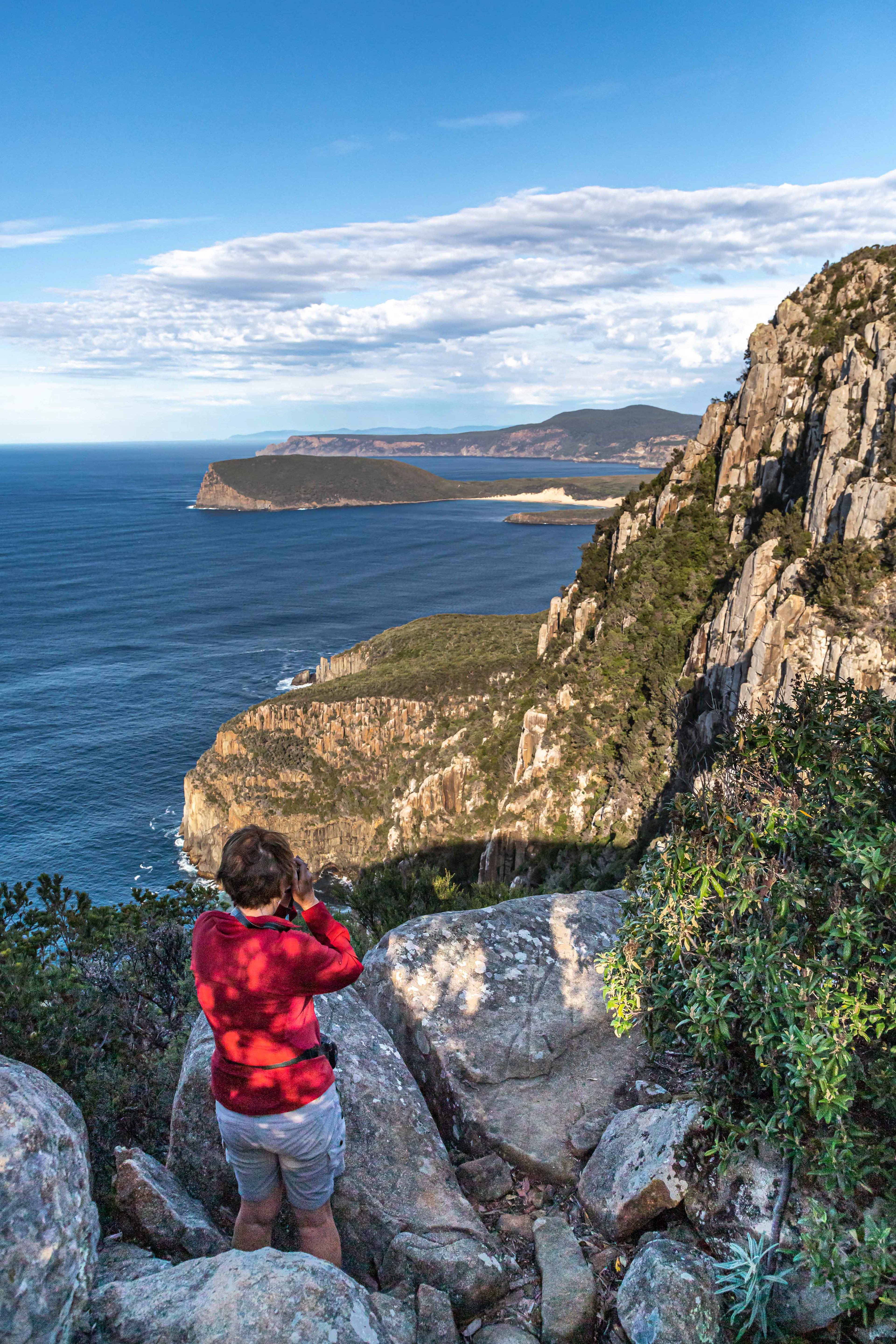
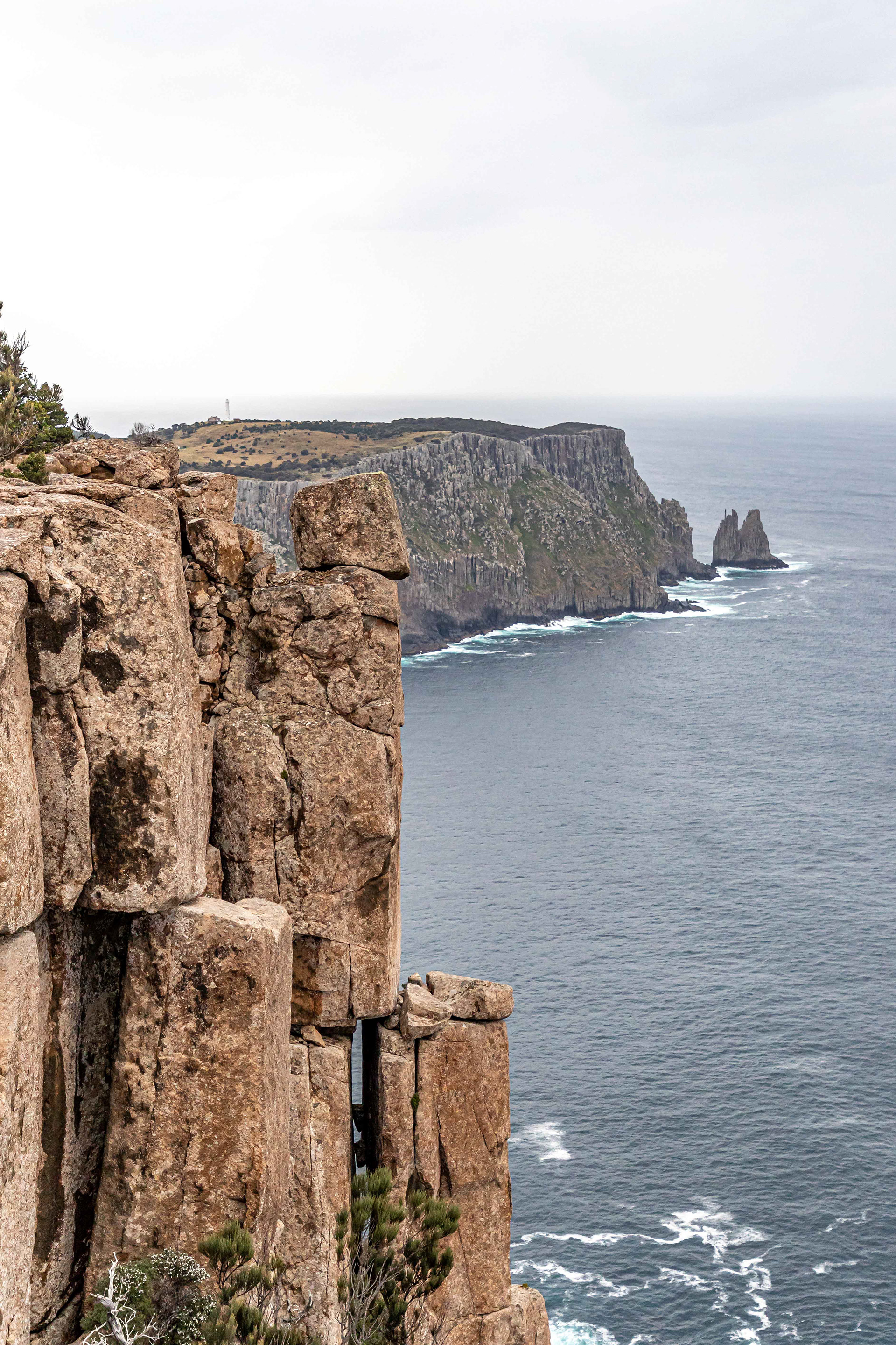
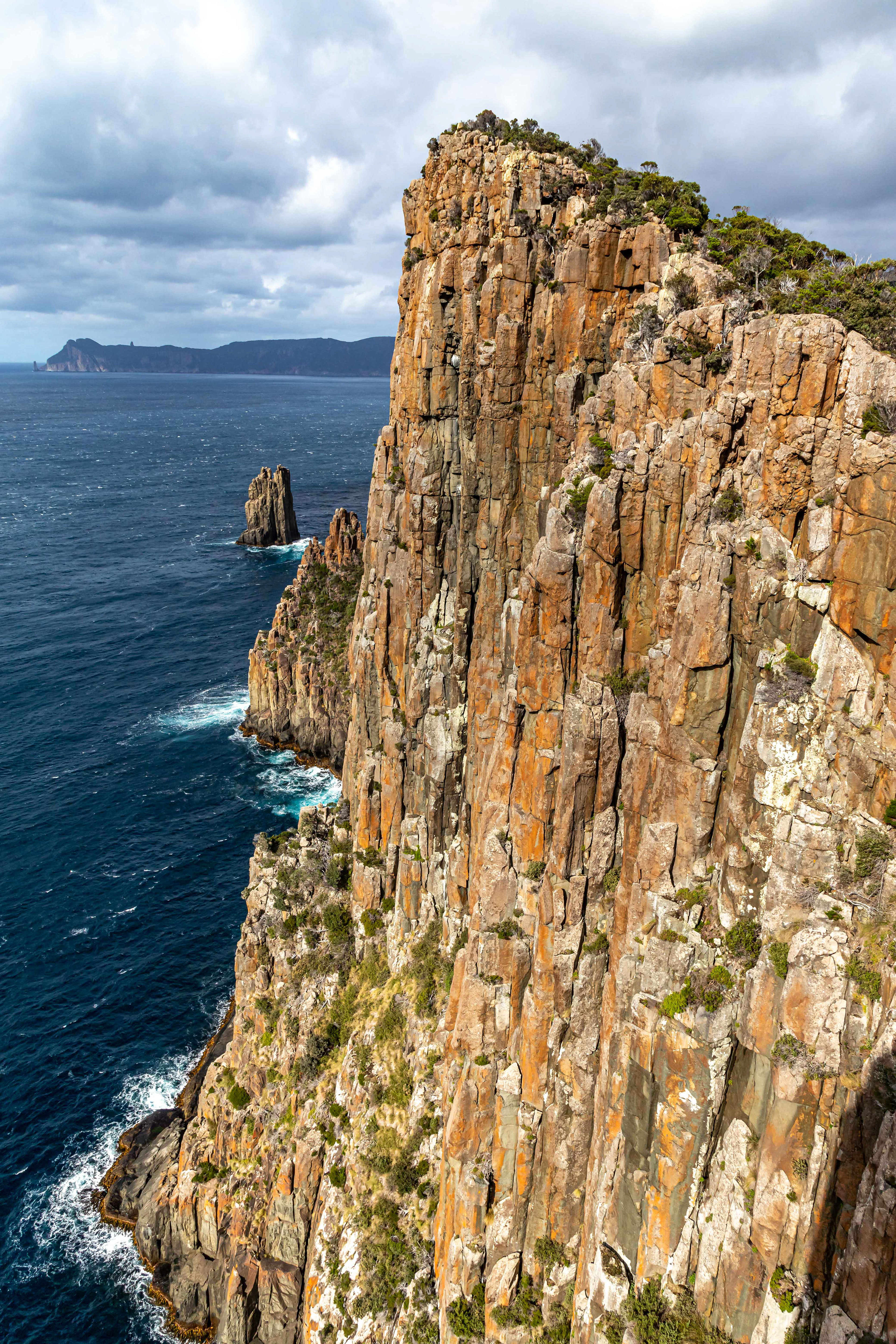
A beautiful sight, Tasman Island from the forbidding cliffs of Cape Pillar. A lighthouse was built on the island in 1906, the stories of its building, its routine supply and manning are legend.
What can I say???
Nearing Cape Pillar
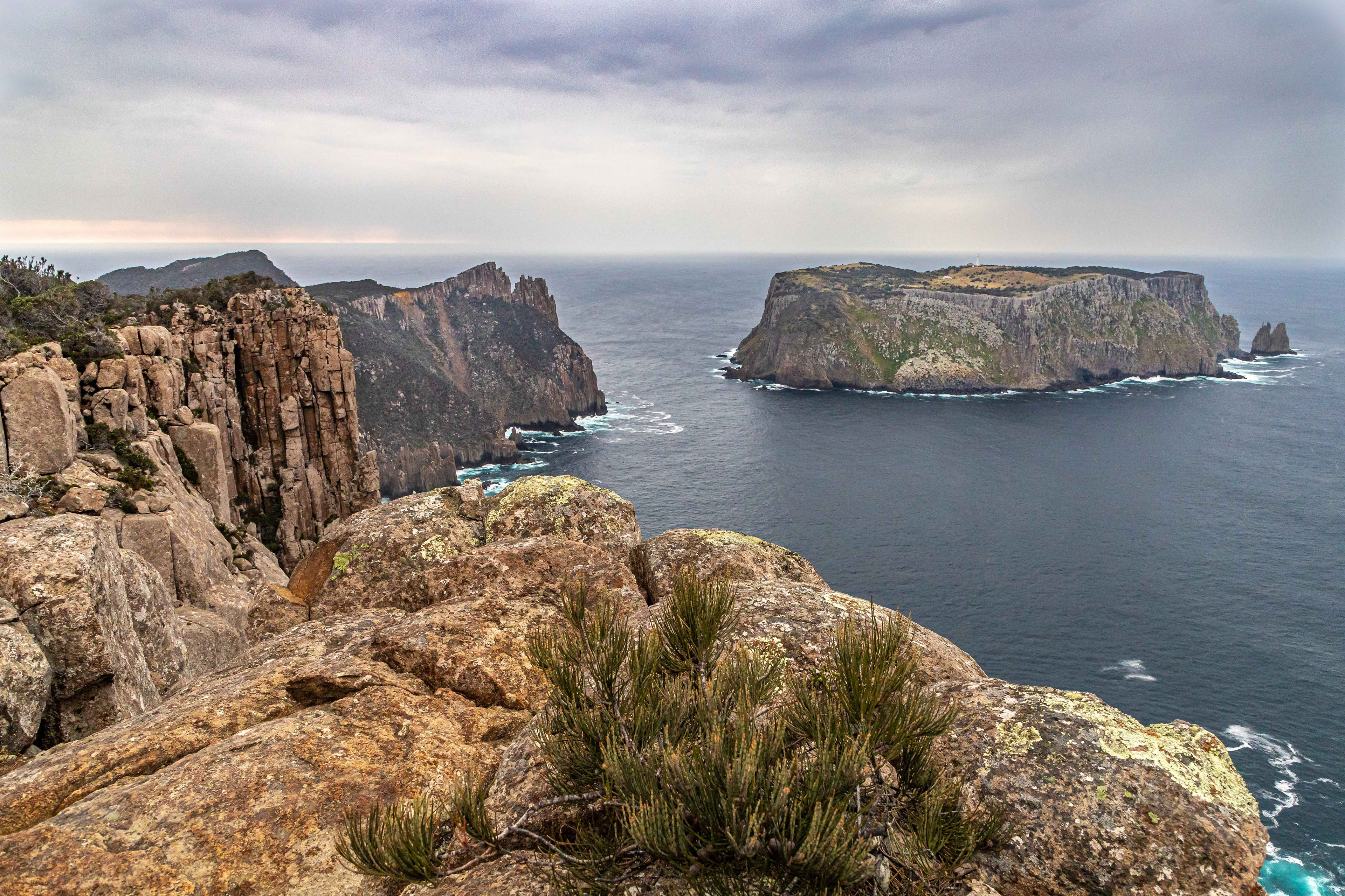
Through low shrubby bush, our first sight of 'The Blade', a laterite bluff extending out from Cape Pillar.

Magnificant rock formations
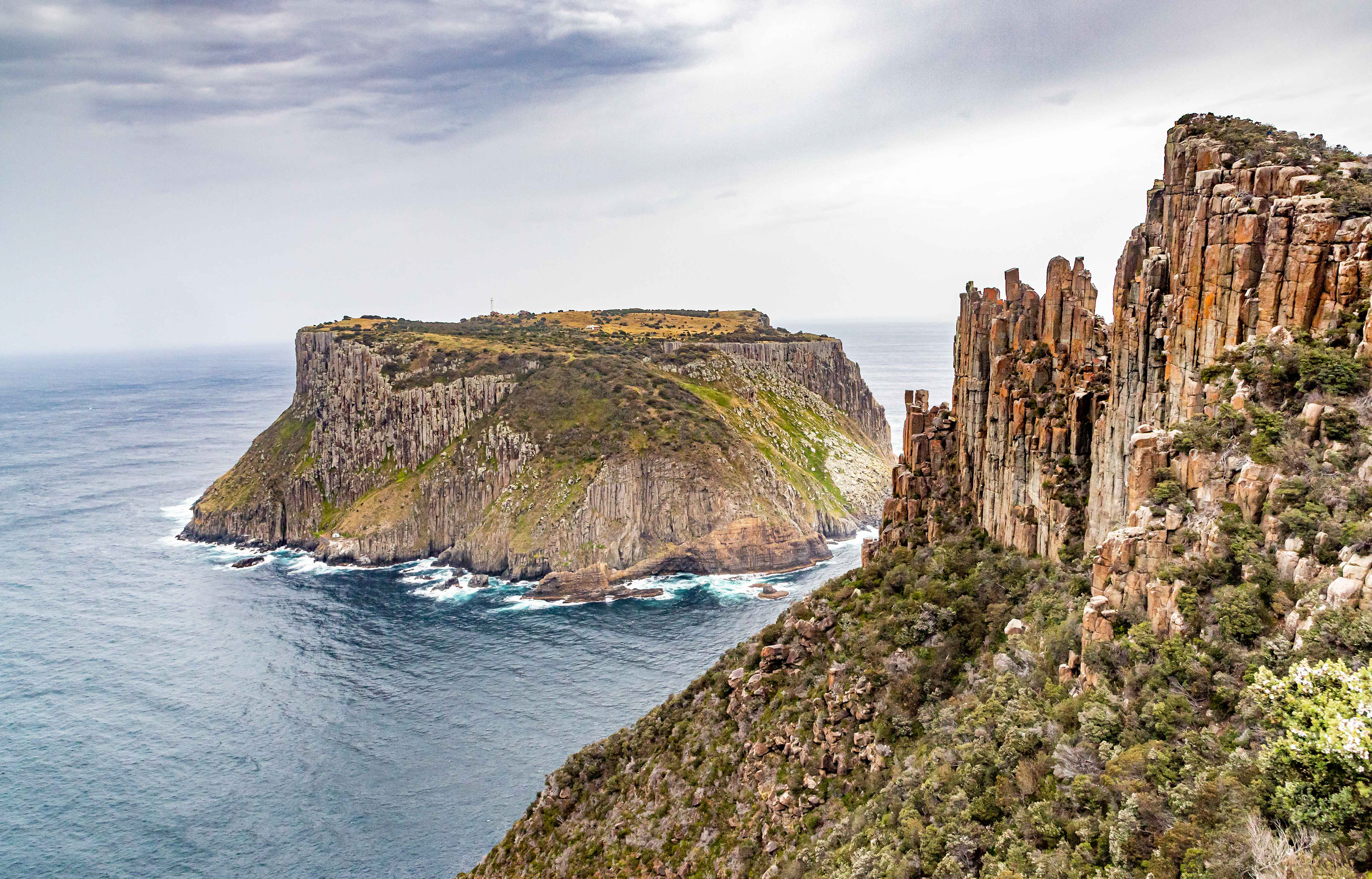
Tasman Island and the blade
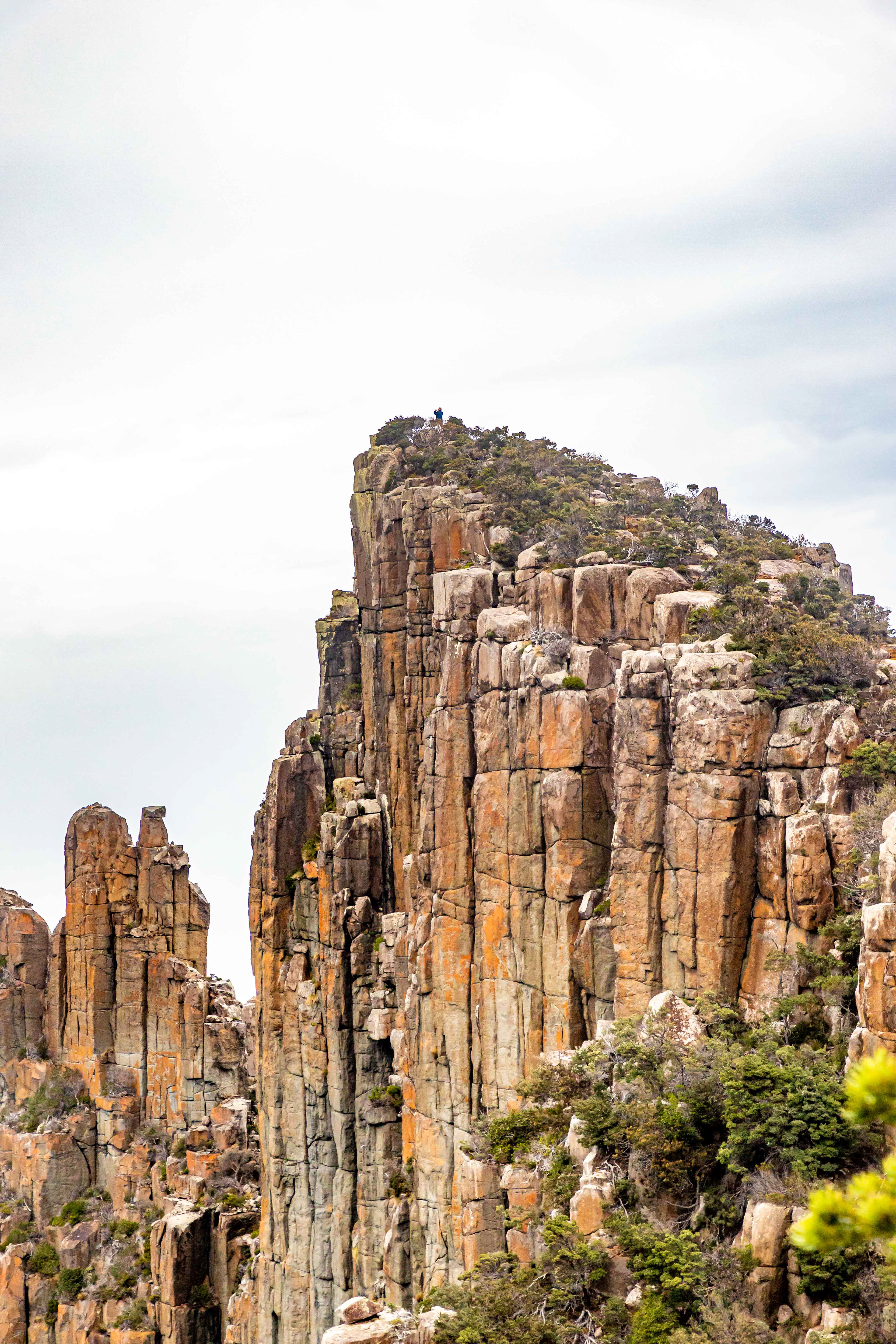
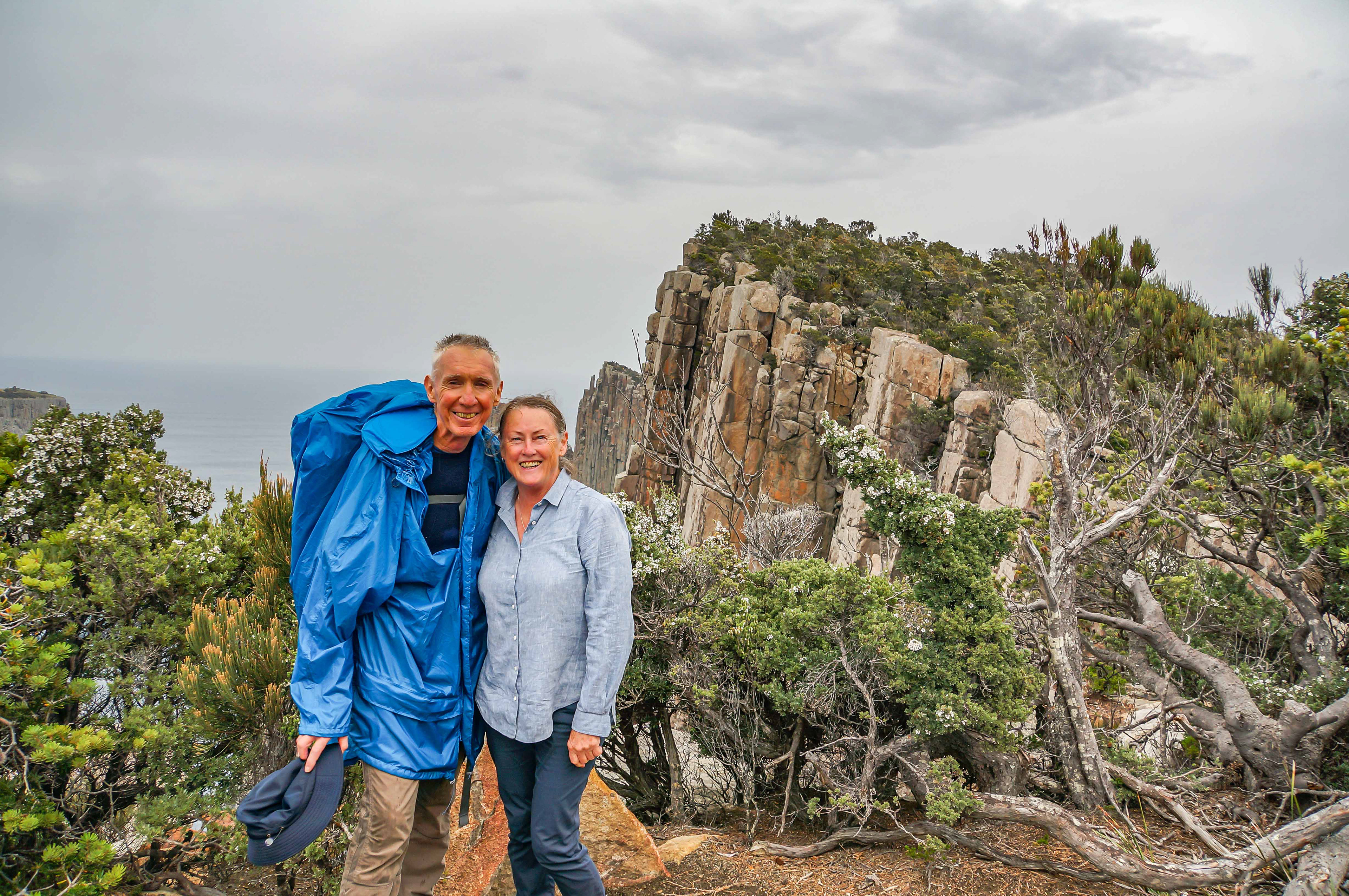
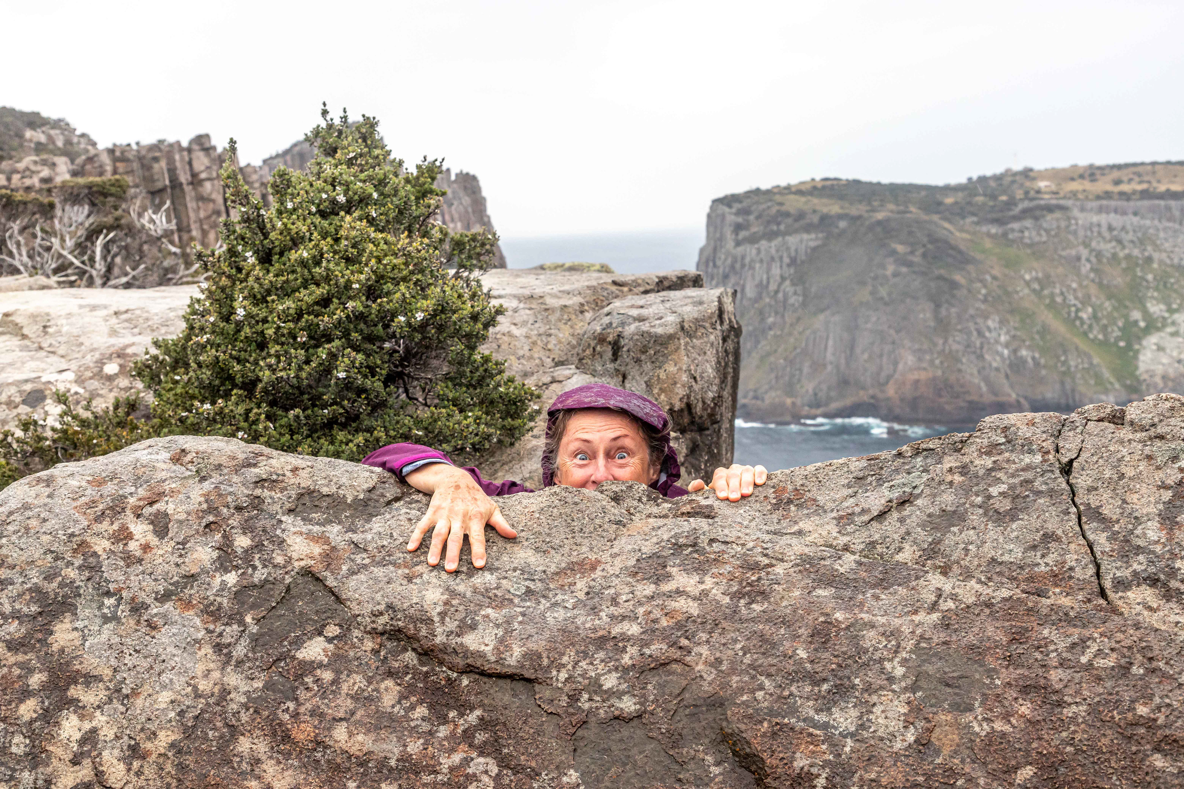
The climb up to tthe top of the blade is a must do. Spot the walker at the top.
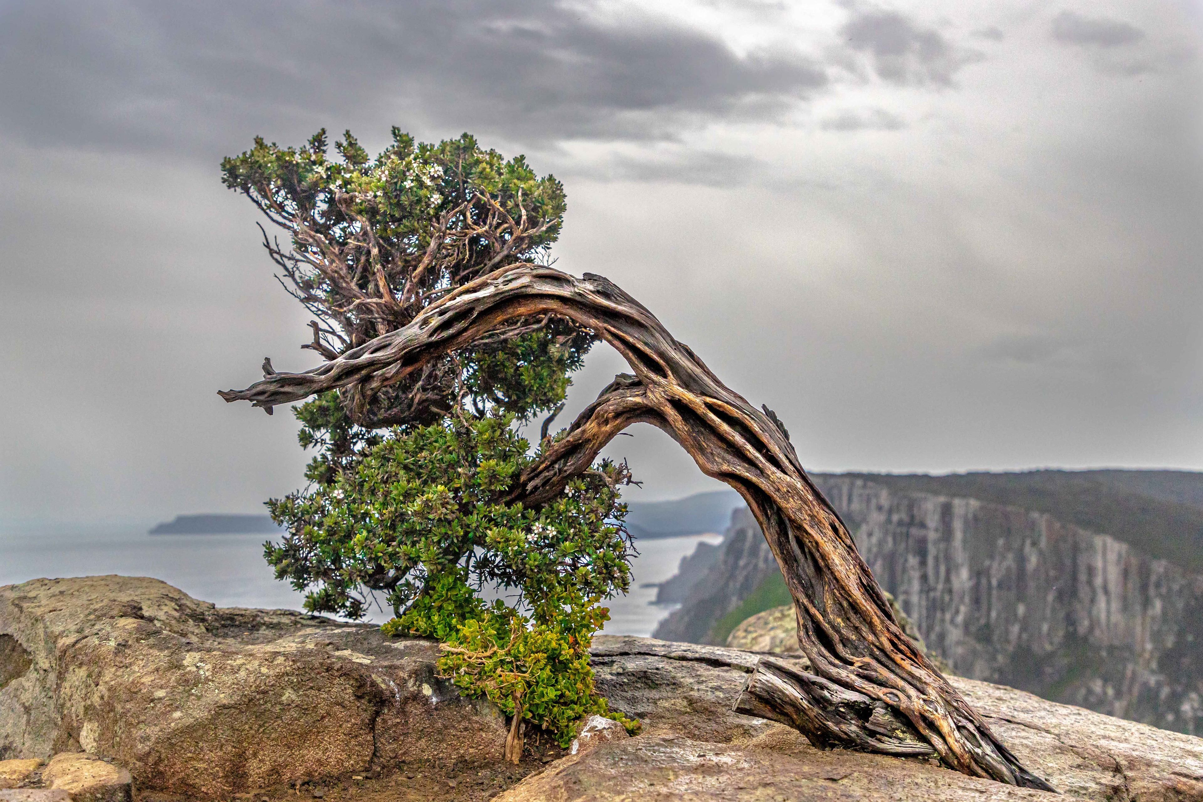
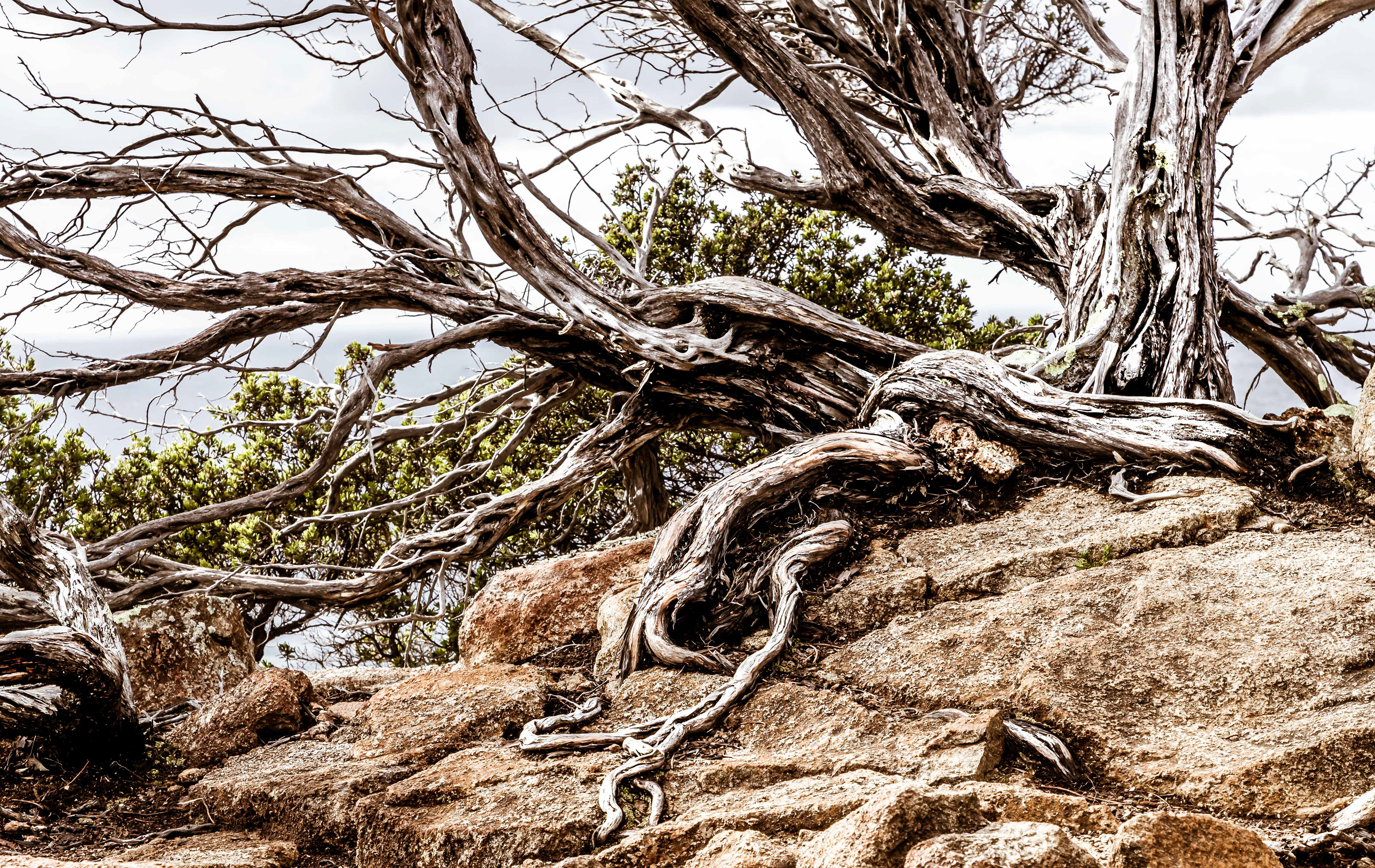
On top of the blade. Gnarled and windswept.


Cape Pillar
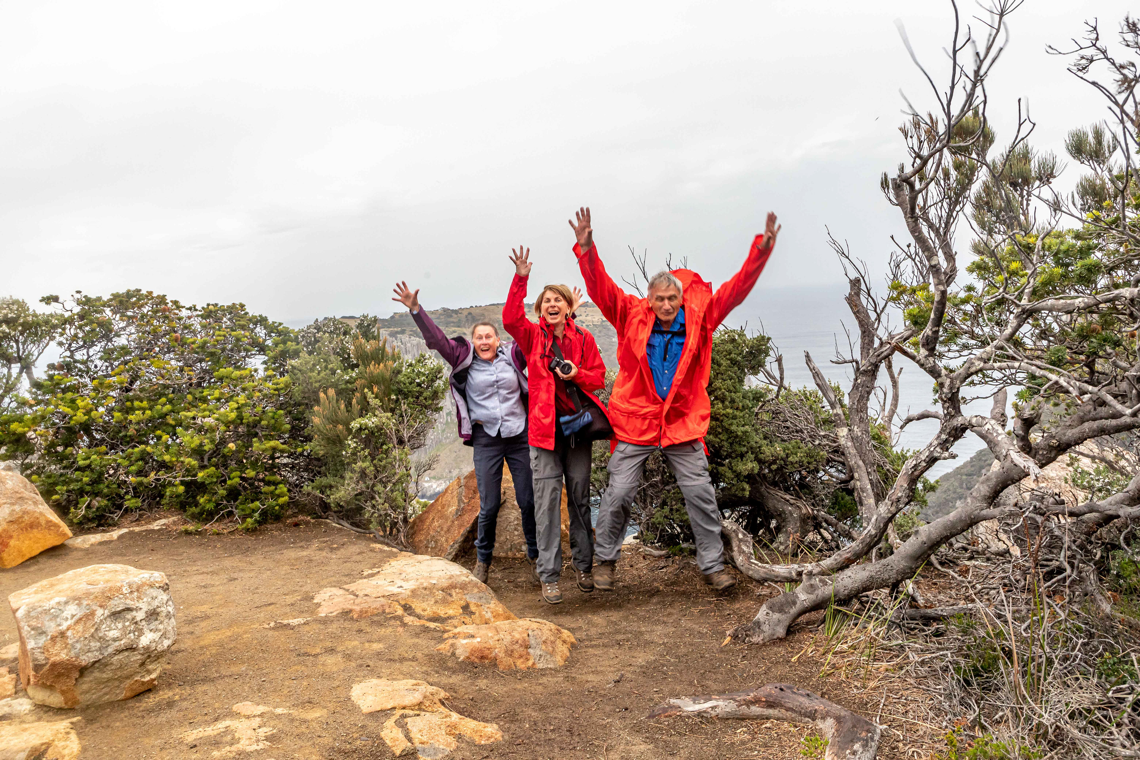
Delirious
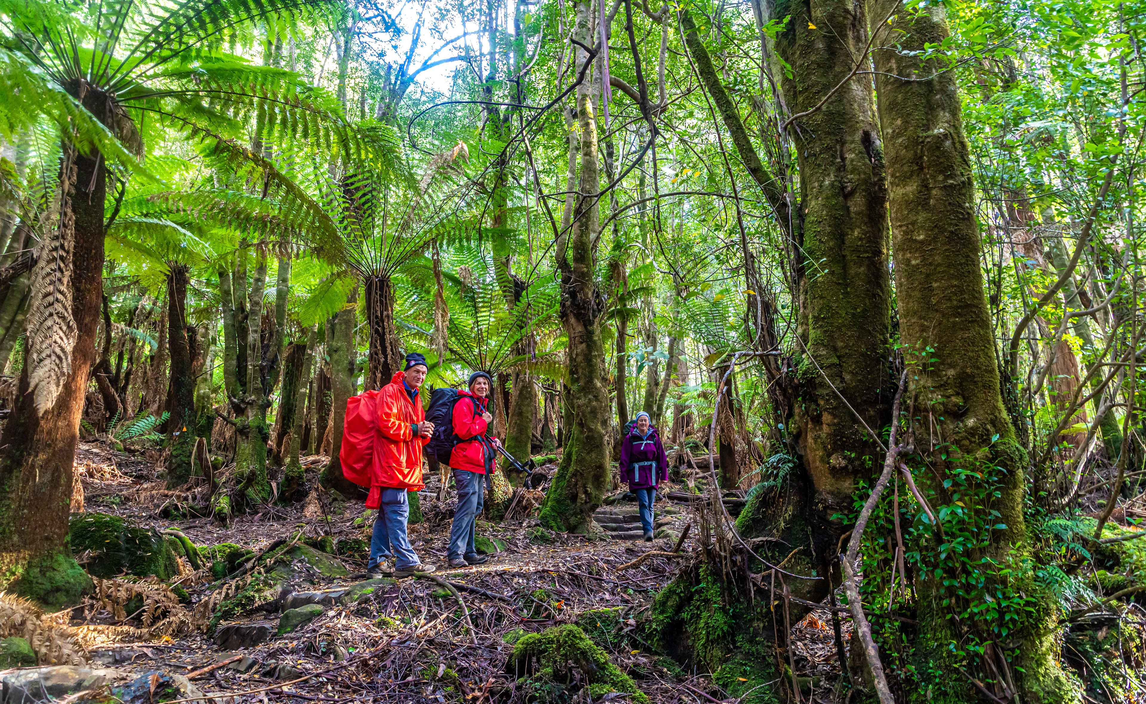
Day 4: Retakunna to Fortescue Bay via Cape Hauy (14km). Meandering through Dicksonia tree fern forests, part of the ancient temperate rainforest.
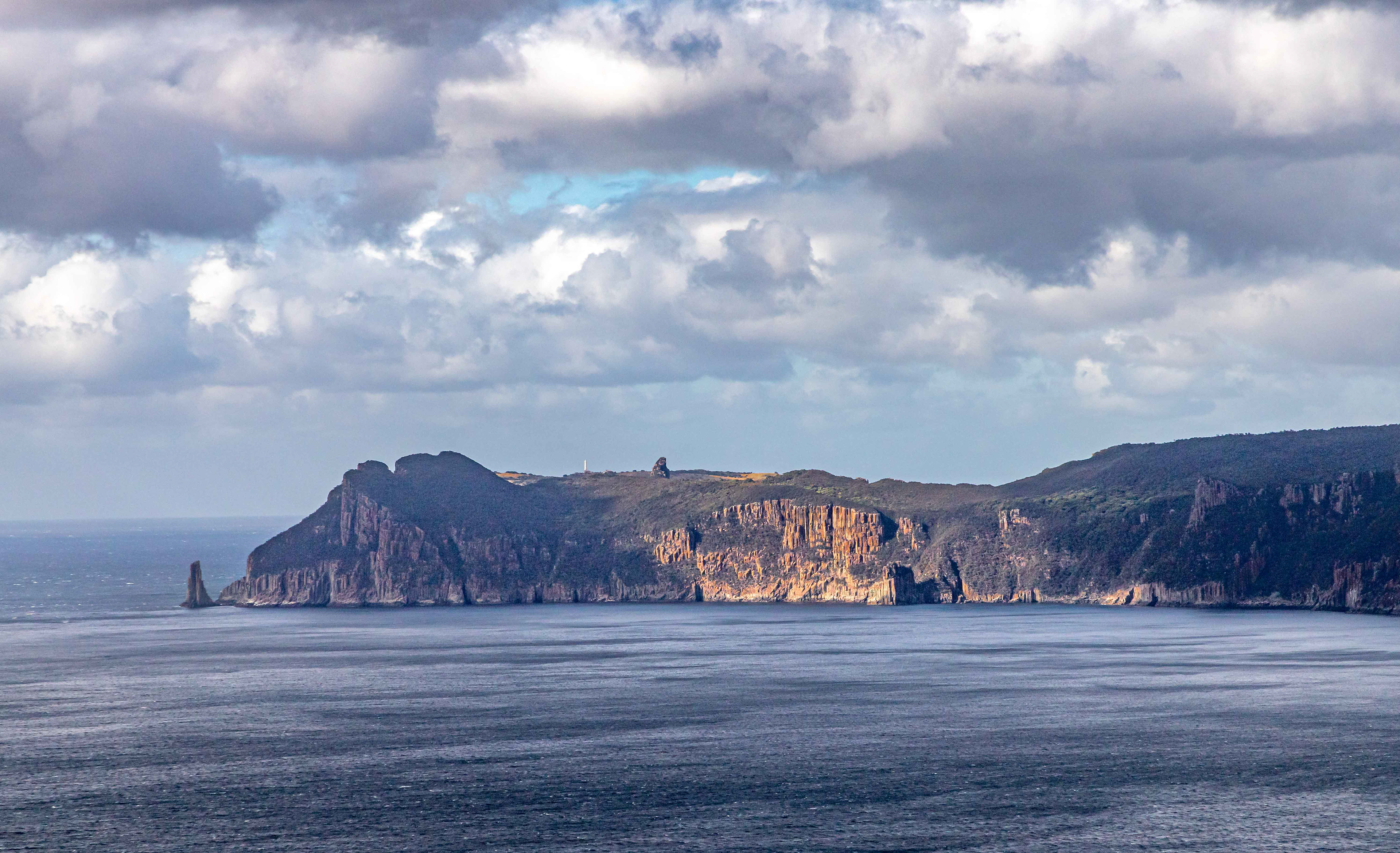
Cape Pillar and Cathederal Rock with Tasman Island in the background
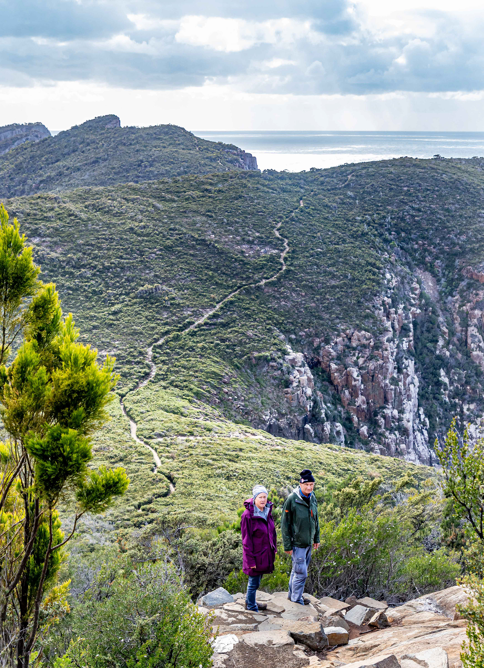
Across the peninsula to Cape Hauy. Down, along, up and over, and then repeat the exercise. 4500 stone steps. They are beautifully crafted, well done someone.
Between a rock and a hard place. On Cape Hauy
Dramatic cliffs, Cape Hauy
The Totem Pole, Cape Hauy. A freestanding dolerite pillar spearing straight out of the water, 65m tall and 4 m wide at its base. It was first climbed in 1968, twenty to 30 climbers accept the challenge annually.
Cape Hauy
Day 5: Cape Raoul (14km). Raoul is the third mentioned cape in the Three Capes Walk although it is not always completed by those walking to the other 2 (Pillar and Hauy). An additional day is required to undertake this trek.
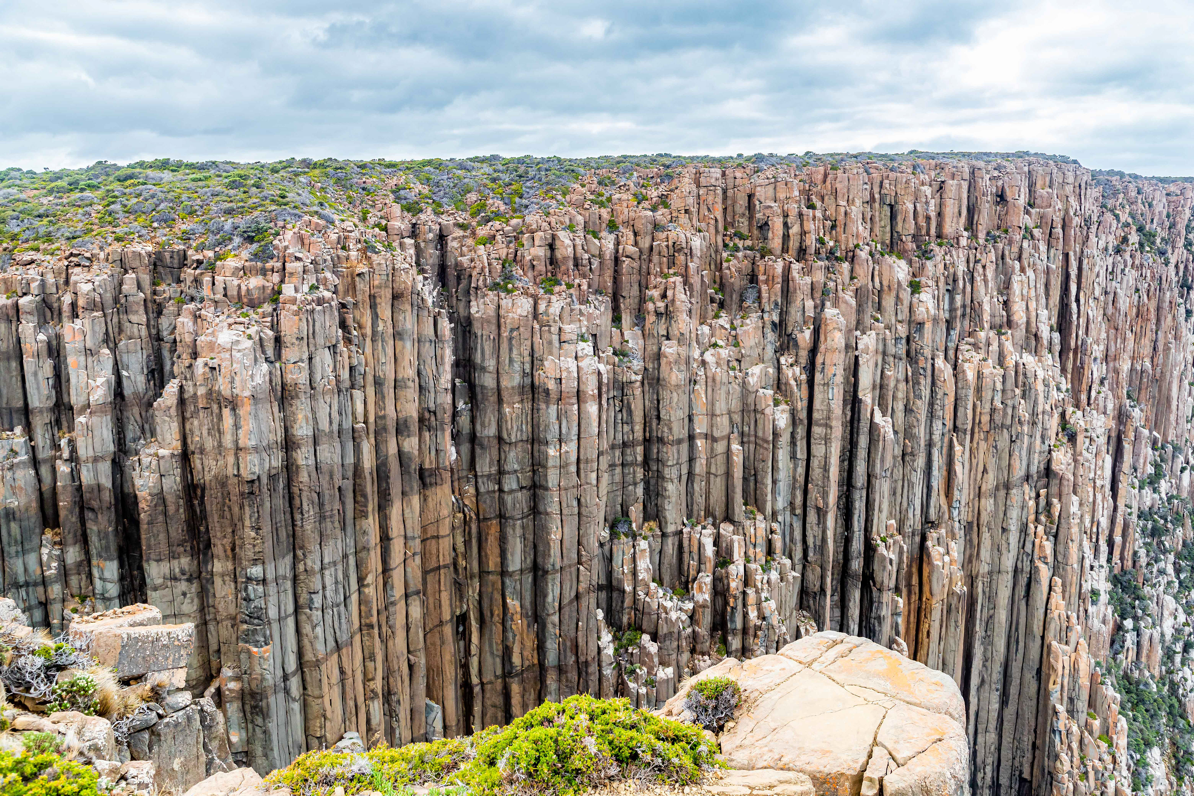
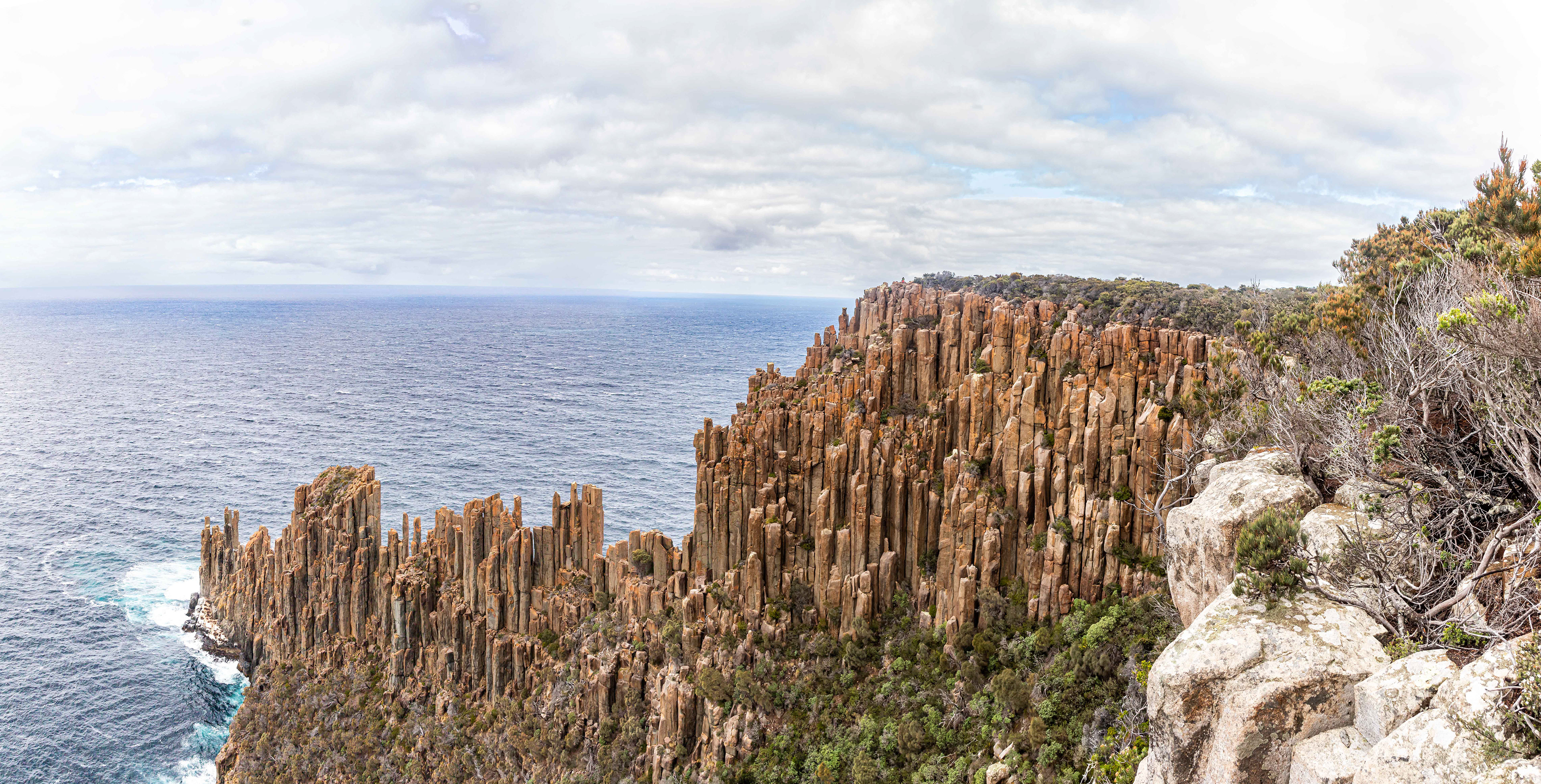
Spectacular dolerite columns, Cape Raoul
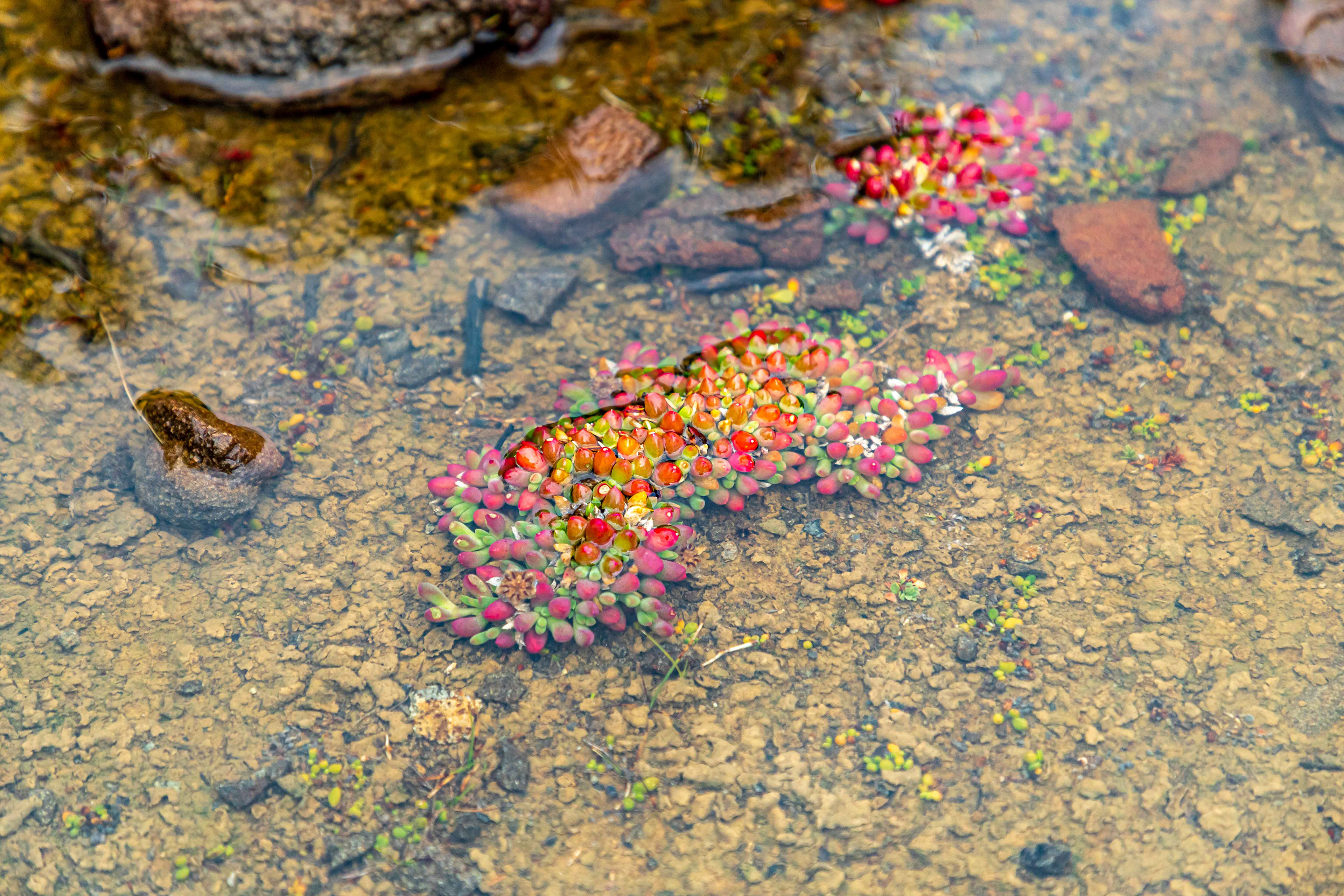
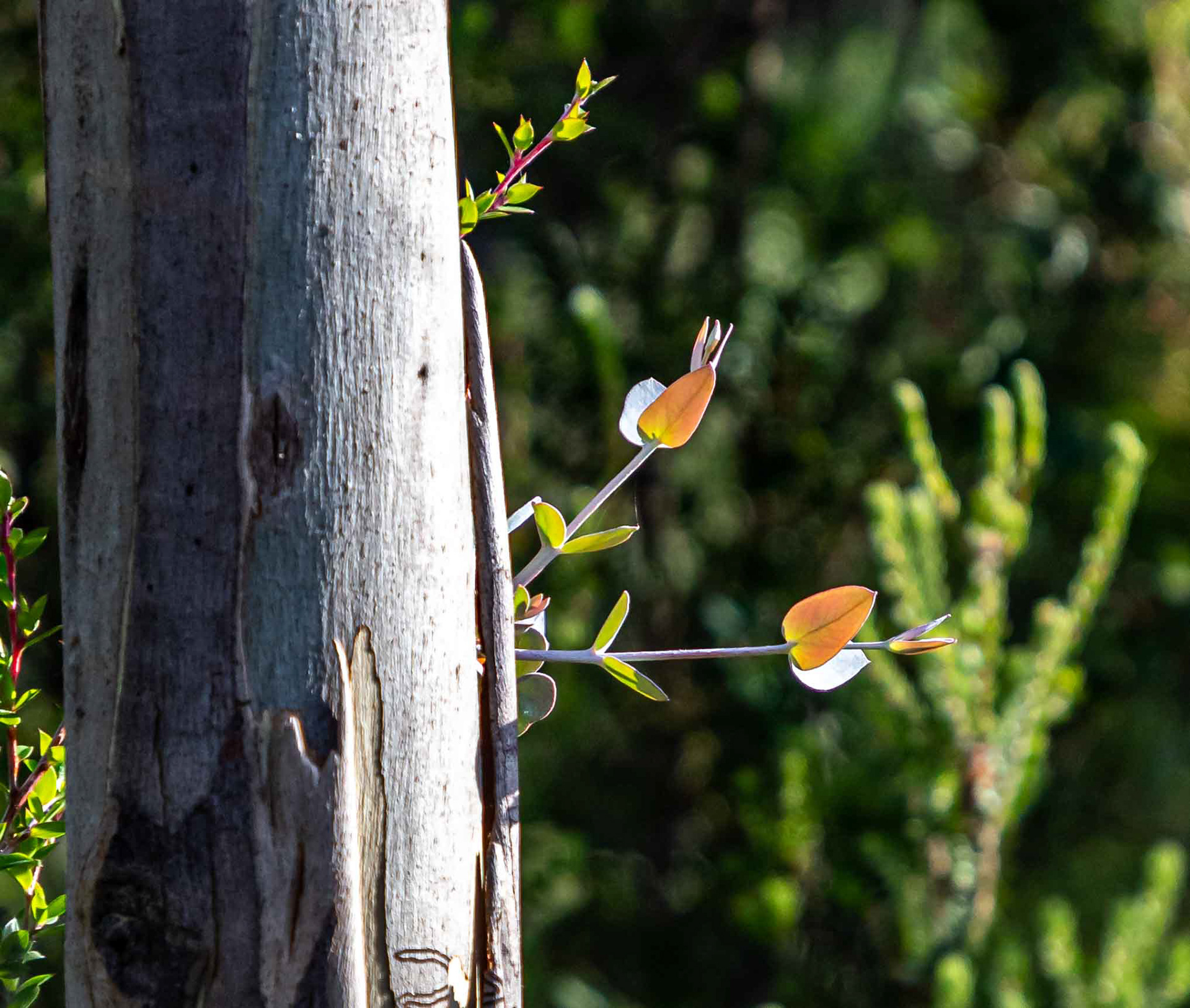
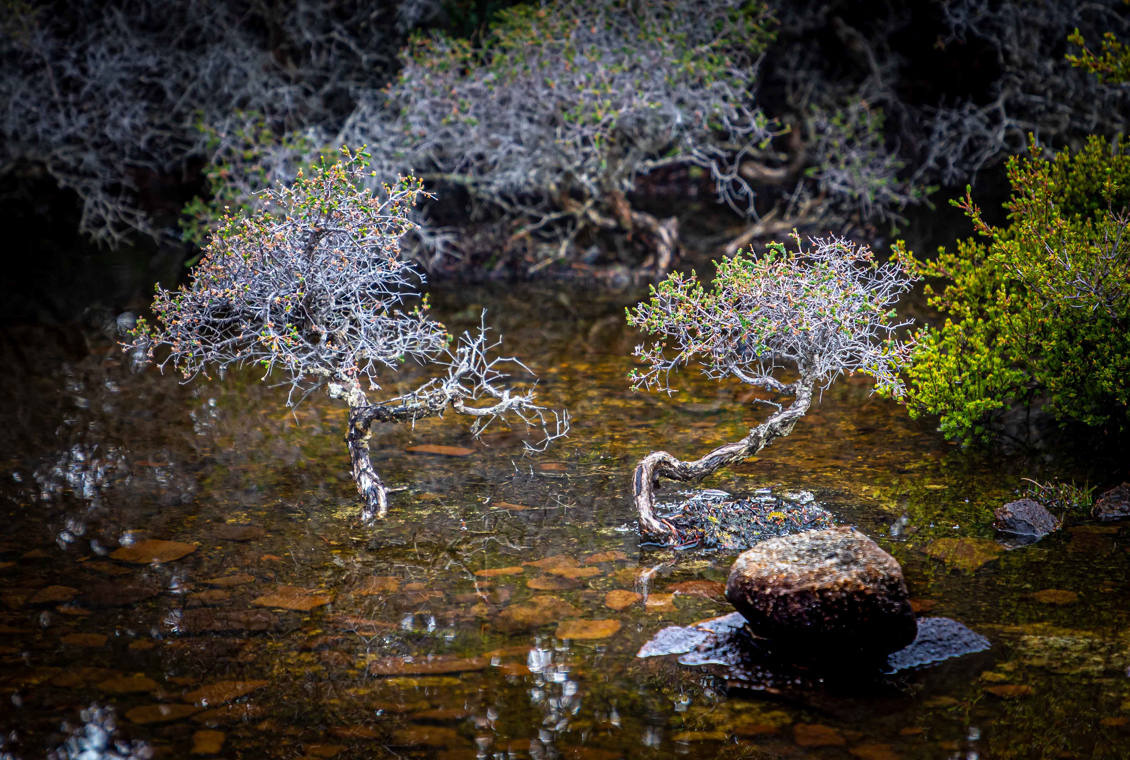
Pond life
Windswept
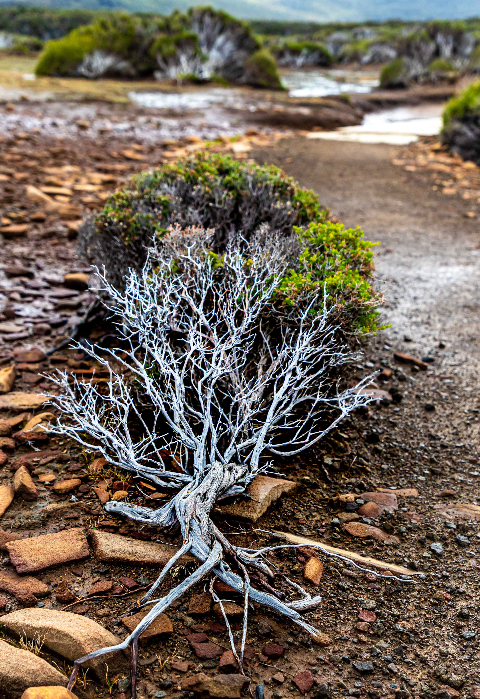
Natural bonsai

Cape Raoul, a climbers paradise.