Uluru to Laverton-The Great Central Road and onto the gold mining town of Leonora
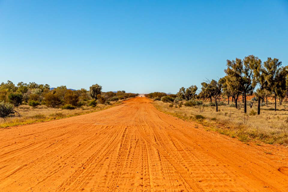
Long, straight, dusty and sometimes corrugated-tthe Great Central Road west of the NT border

We were not counting but I would estimate that we saw no more than 50 other vehicles during our 2 day crossing
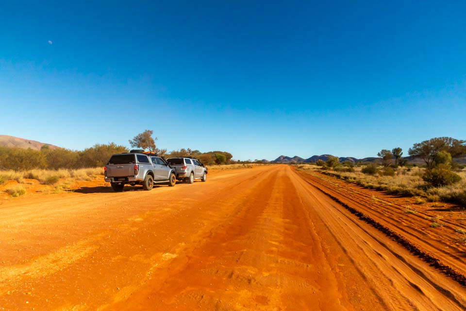
Our 4WD utes were ideal for the trip

Thanks for visiting the NT and welcome to WA. The border near Kaltukatjara. The tarmac lasted for about 5 km.
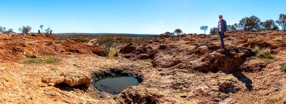
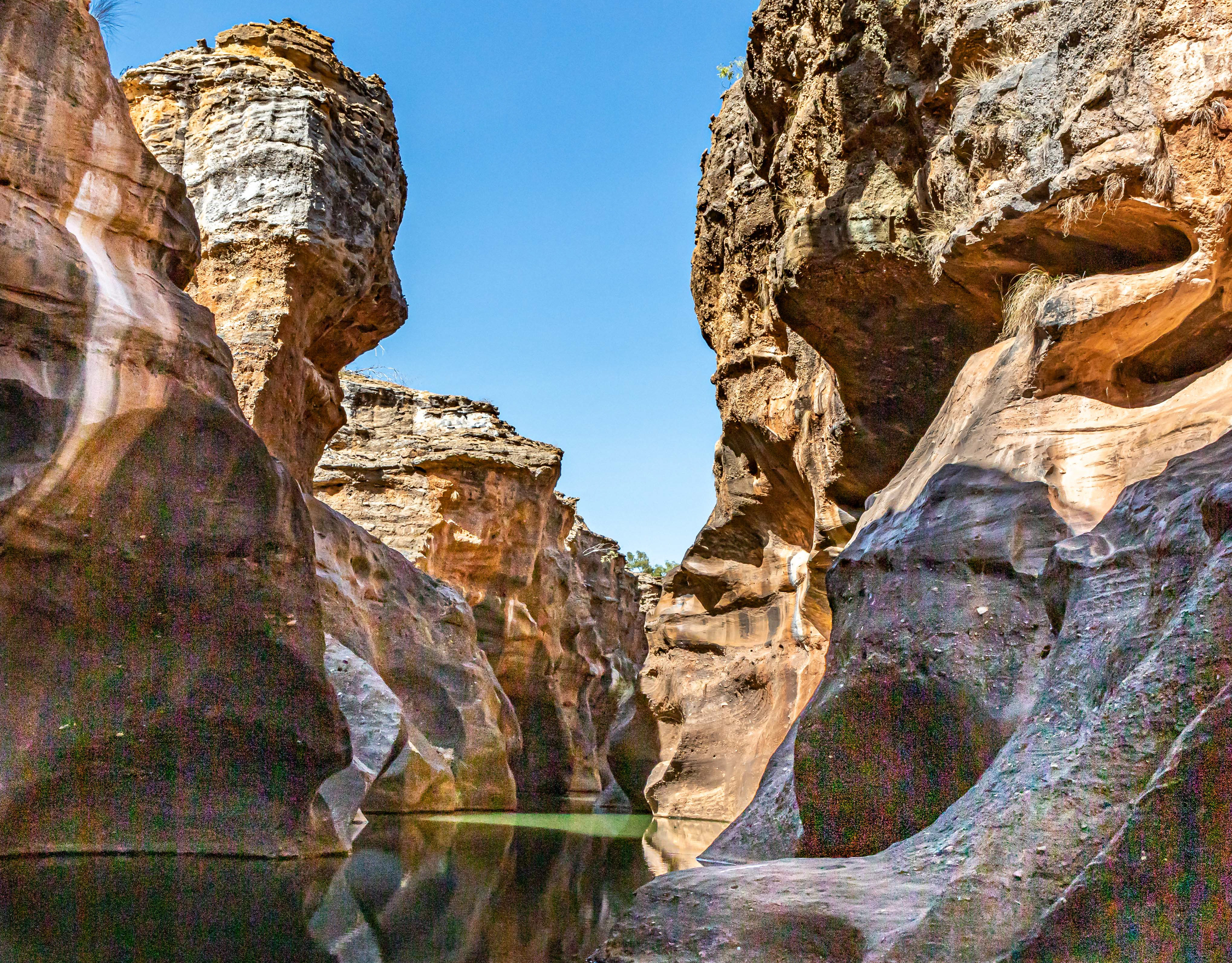
Water source at White Cross, on the Great Central, 326 km SW of Warburton, 882 km from Yulara. This would have been an important source of water for Aborigional tribes.

Caves at White Cross, Great Central Road
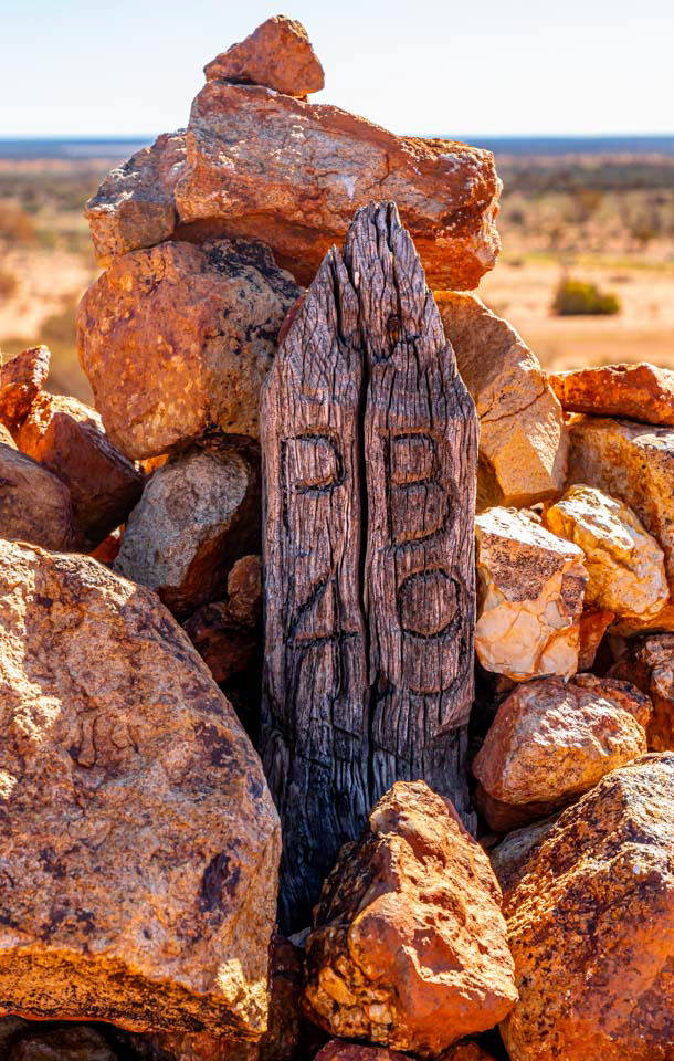
Road distance post on Great Central Road at White Cross
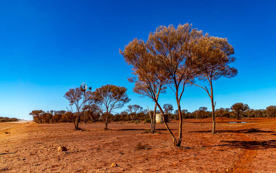
Roadside stock watering point north-east of Cosmo Newbery on the Great Central Road
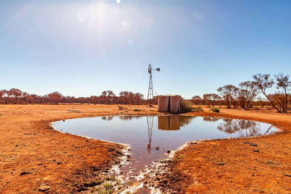
Watring points such as this one were established by govrnment agencies to facilitae the droving of cattle to stations and to regional markets.
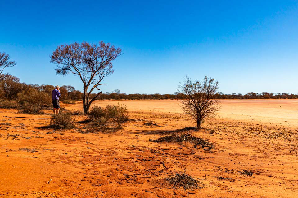
Dry salt lake a few km north-east of Laverton

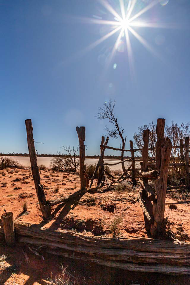
Derelect stockyards at salt lake north-east of Laverton
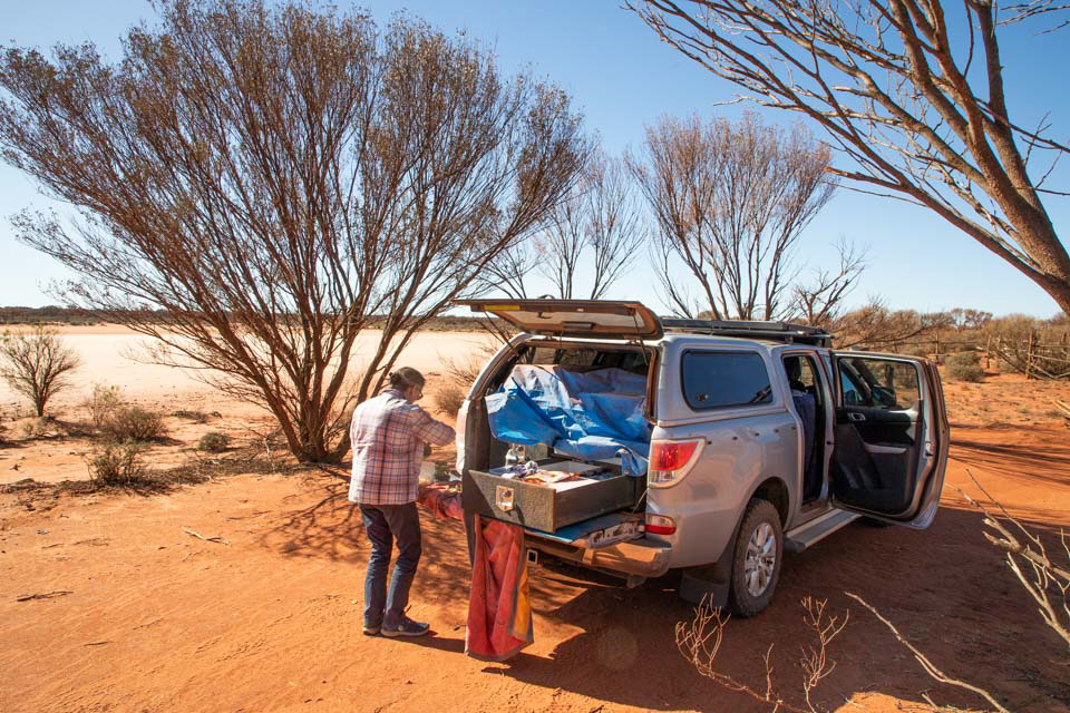
Ute lunch