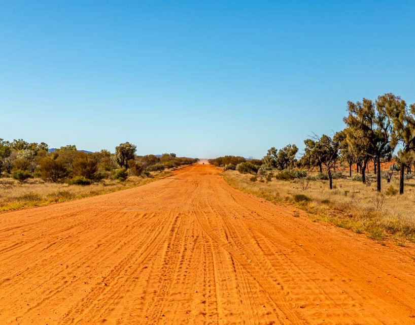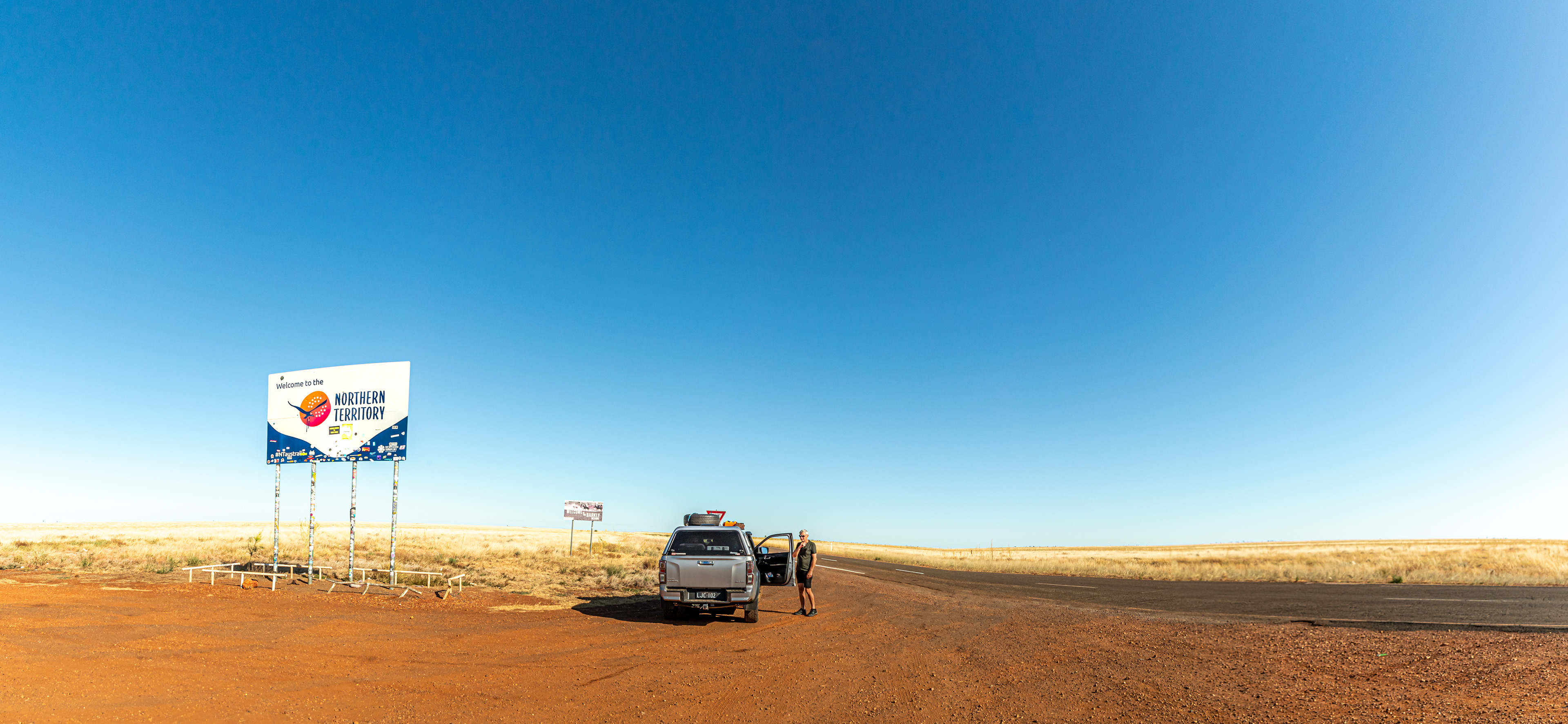
The Queensland/ Northern Territory border west of Cammoweal. The Barkly Tableland and the Barkly Highway, 450 km of flat and fertile grazing country stretching from Cammoweal in Queensland to the Three Ways in the Northern Territory.
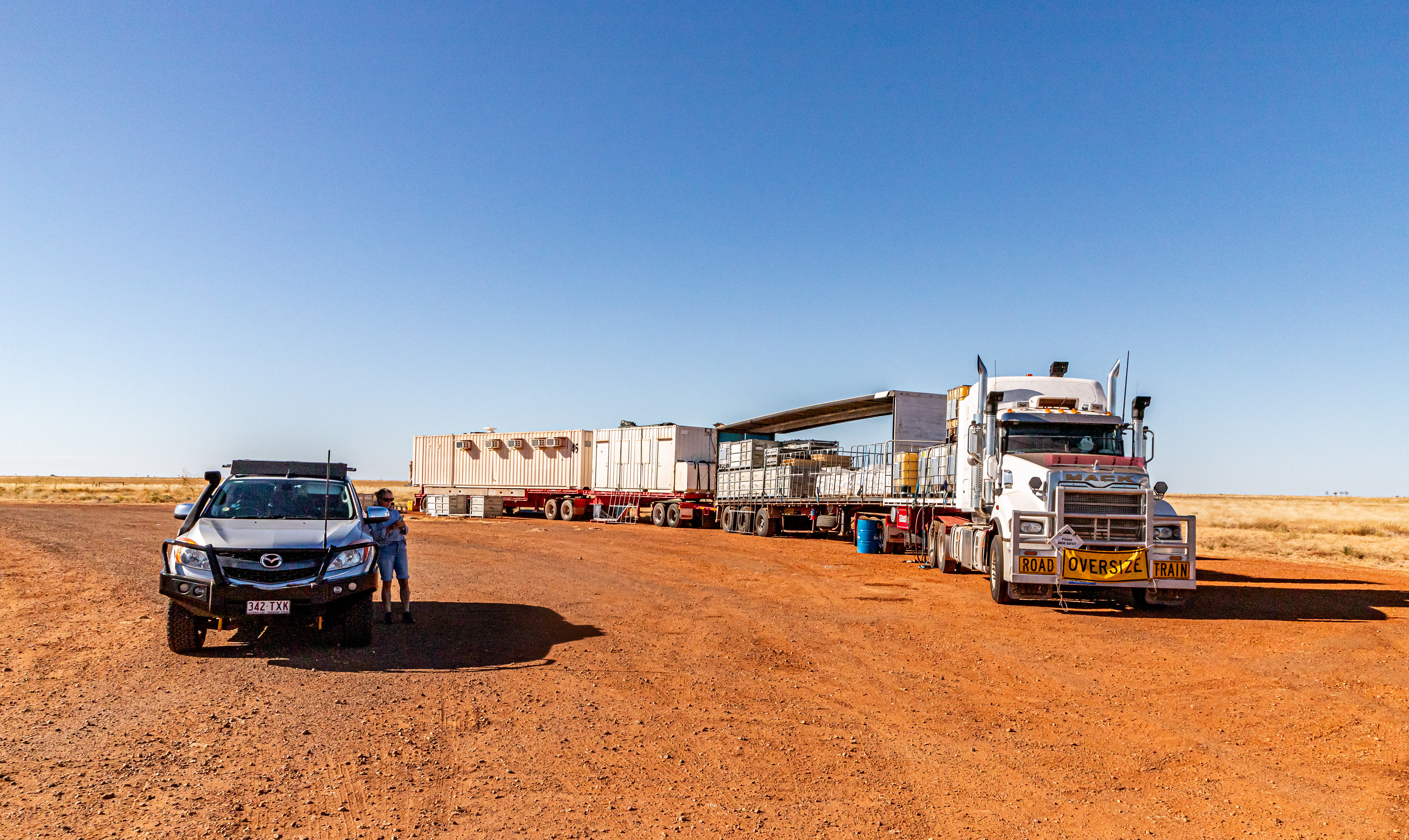
Our first road train, stopped at the Qld/NT border. This one was associated with mining activities near the border and was reasonably self sufficient. The first dog contained stores for the work, the second, the ablution block and the third, air conditioned sleeping quarters. Three or 4 dog road trains were seen regulrly during our travels. Passing the 52 m monsters was always fraught with some trepidation, with one thankful for the long straight roads.

Tennant Creek hills
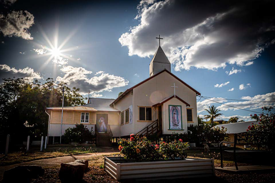
The Church of Christ the King Catholic Church Tennant Creek The church was relocated from the historic mining town of Pine Creek 760 km north on the Stuart Highway. With parts of the church spread between the two towns during the move, it was once known as the "longest church in Australia" (https://en.wikipedia.org/wiki/Church_of_Christ_the_King,_Tennant_Creek)
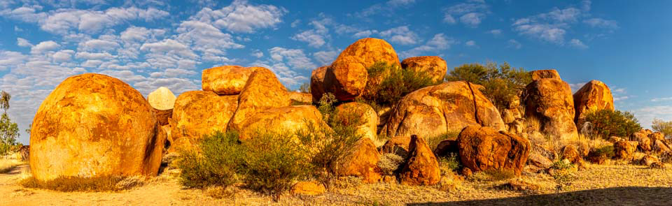
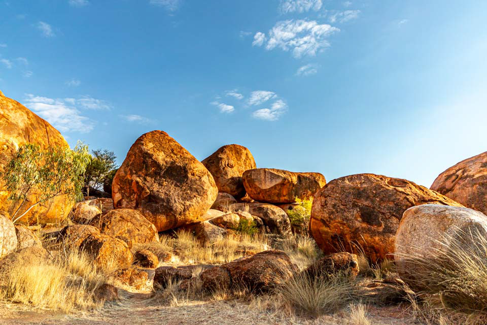
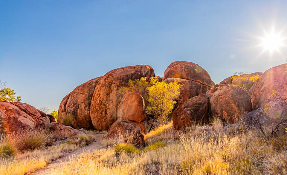
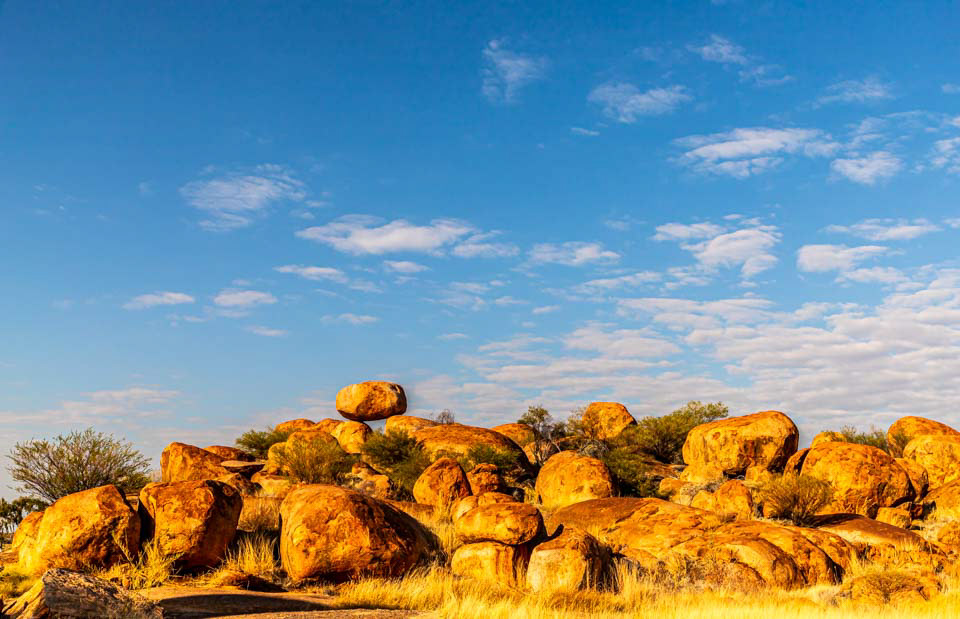
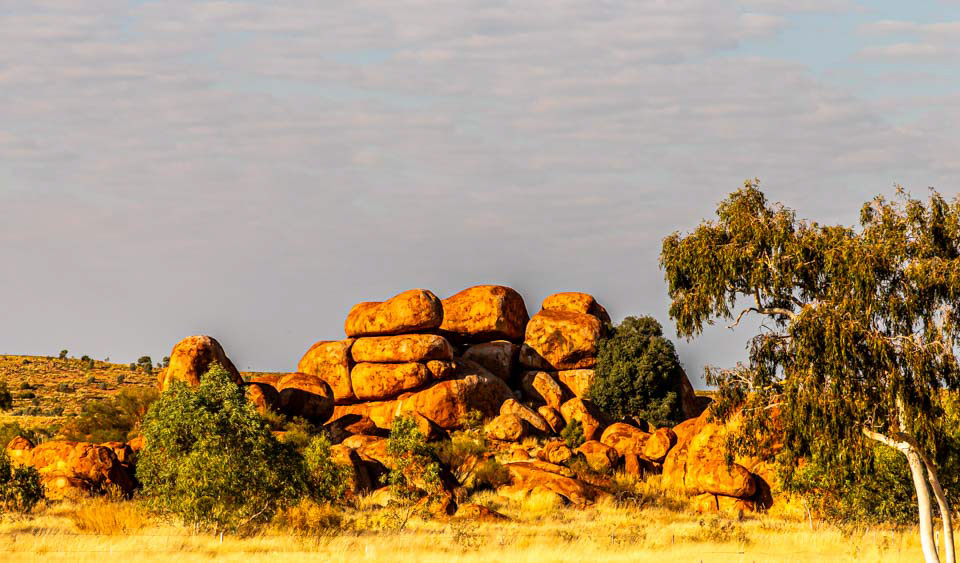
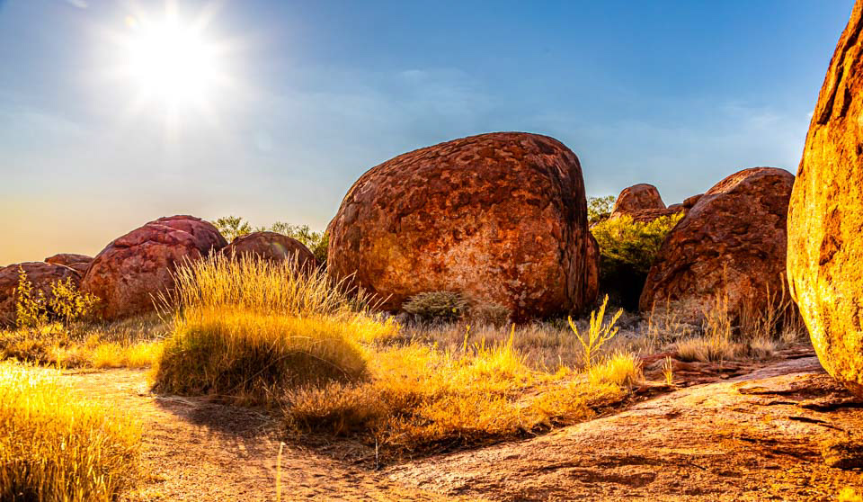
The Devil's Marbles south of the township of Tennnt Creek


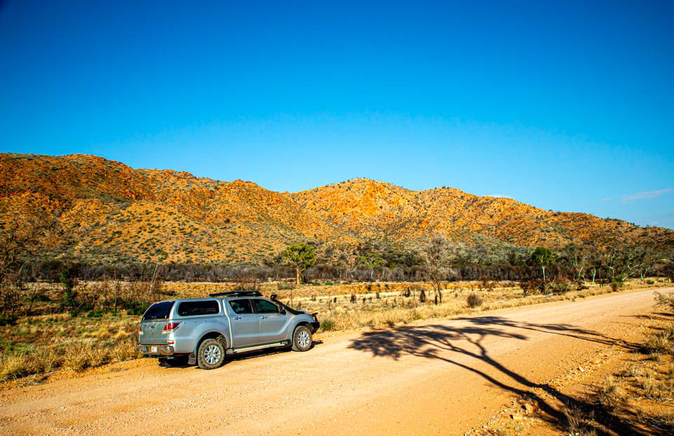
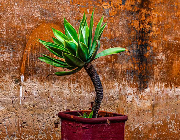
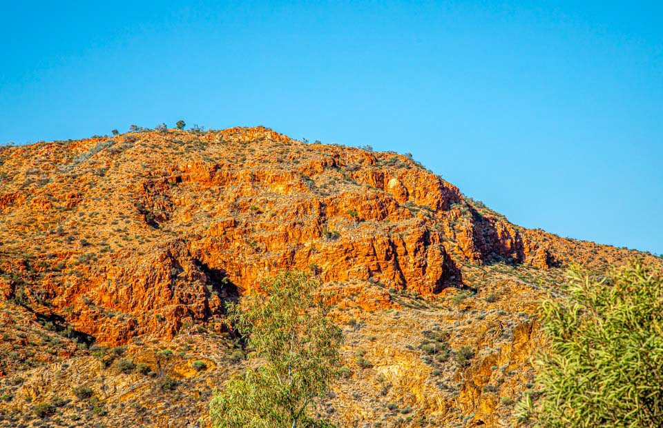
Beautiful red hues of the hills in McDonnell Ranges, south-east of Alice Springs
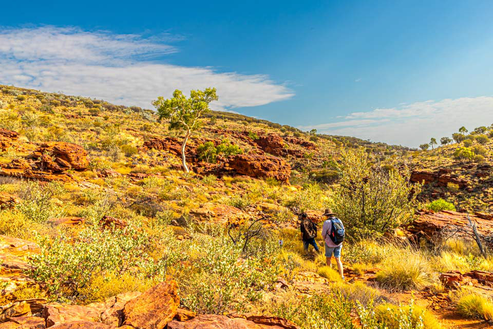
Ross Highway near Trephina Gorge south-east of Alice Springs in the West McDonnell Ranges National Park
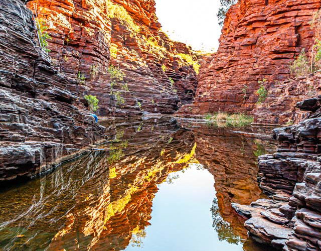
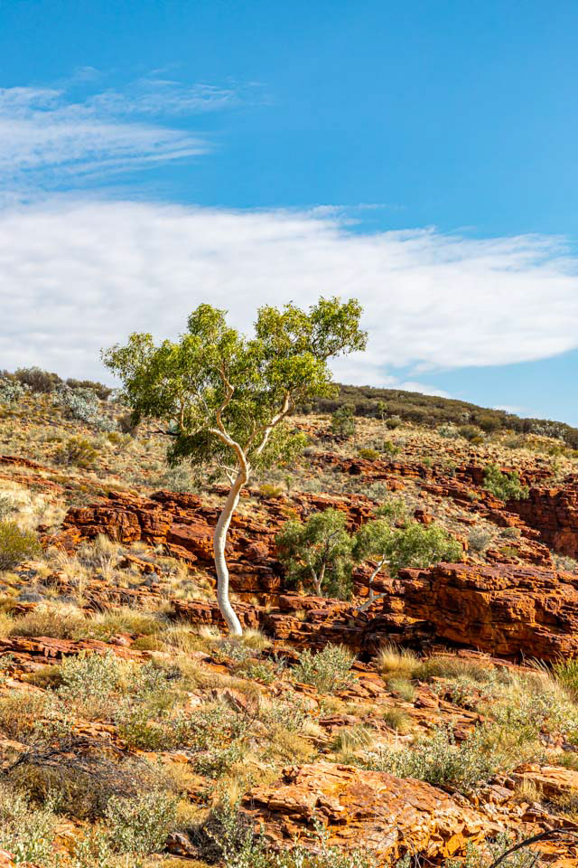
Trephina Gorge, West McDonnell Ranges National Park

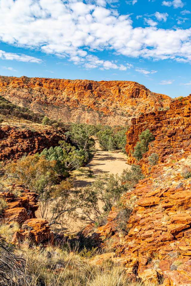
Trephina Gorge, West McDonnell National Park