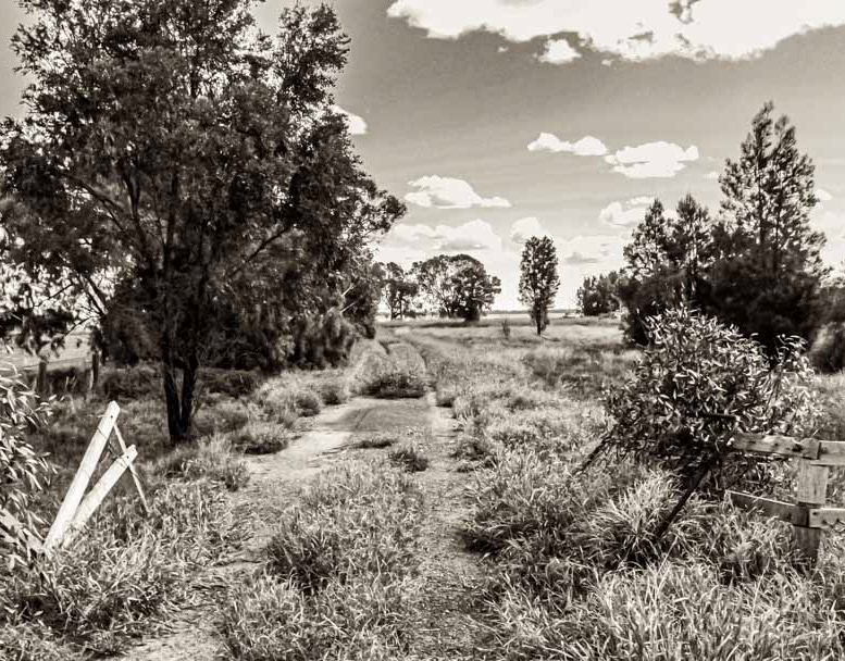
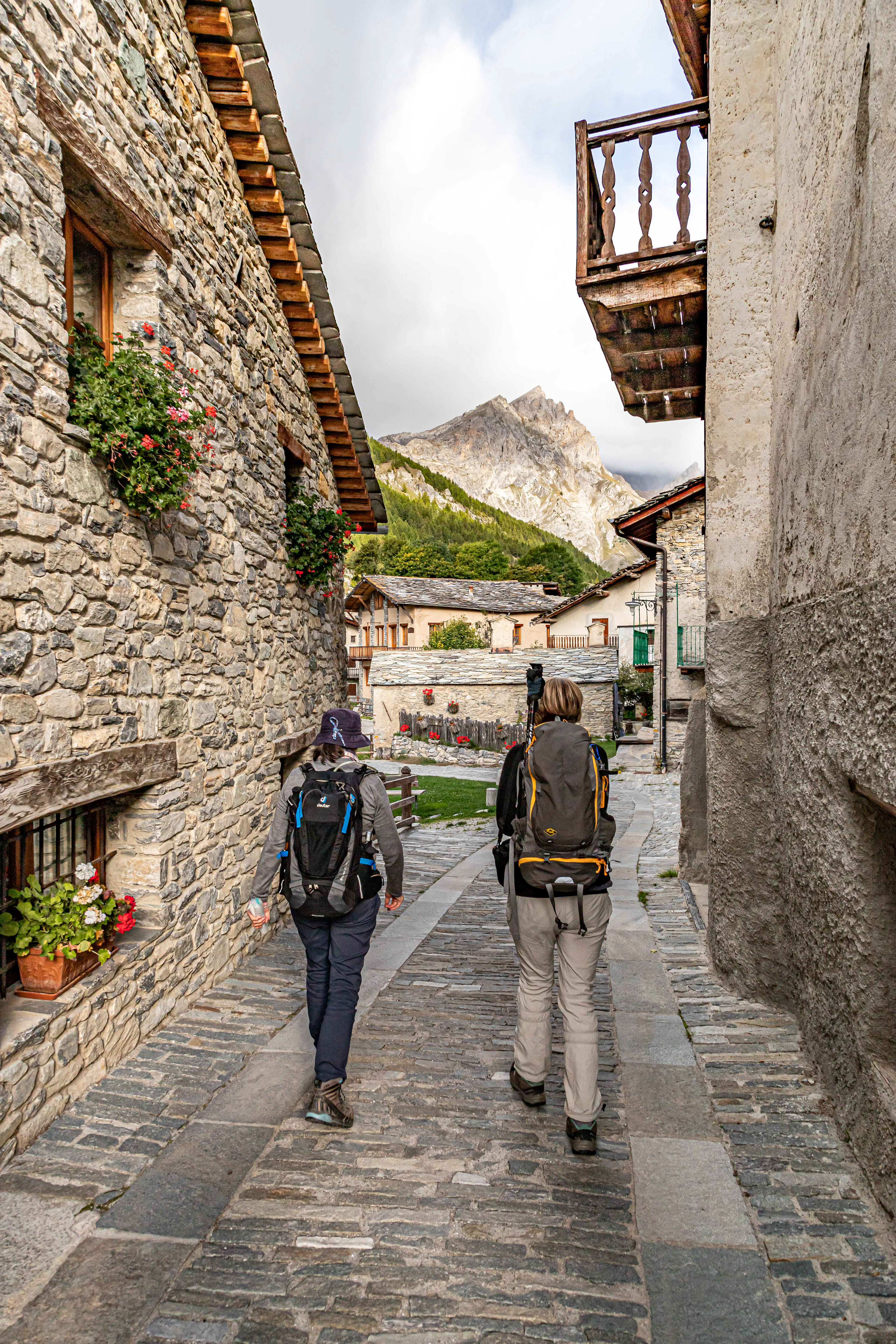
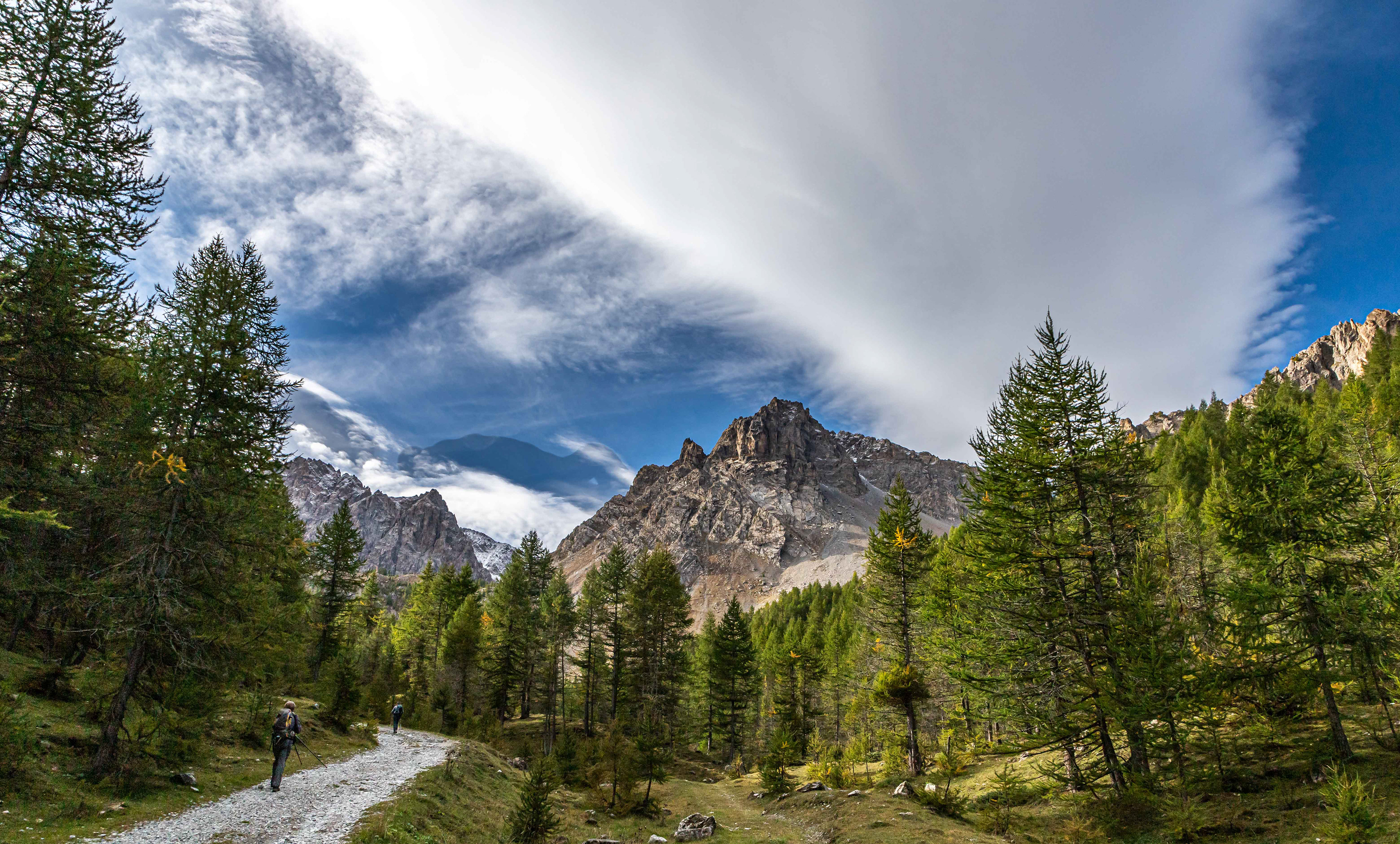
A late afternoon wander after our arrival at Allemandi only heightened our excitement for what was to come.
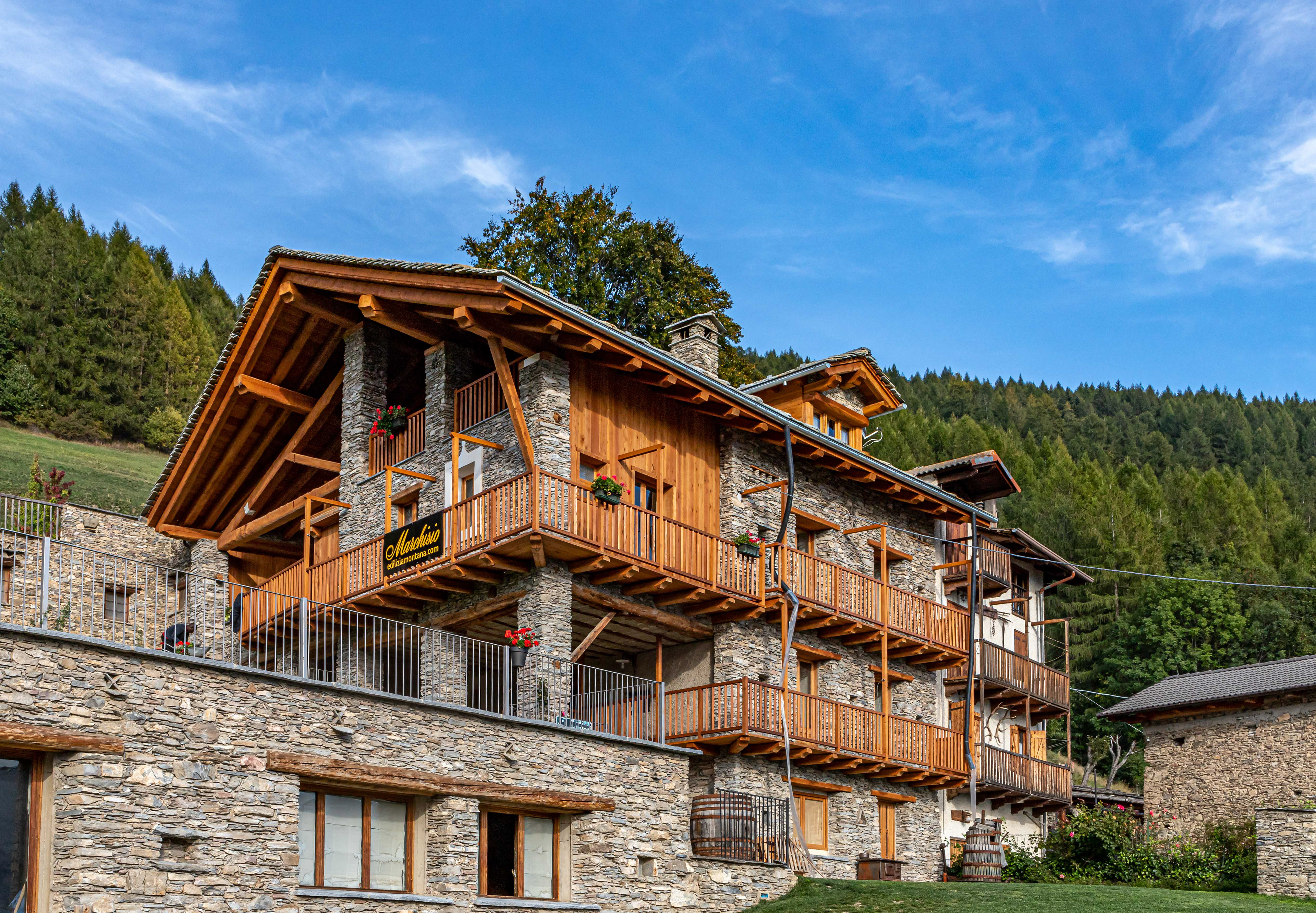
Al Chersogno Agri-tourismo, our home away from home for 3 nights.
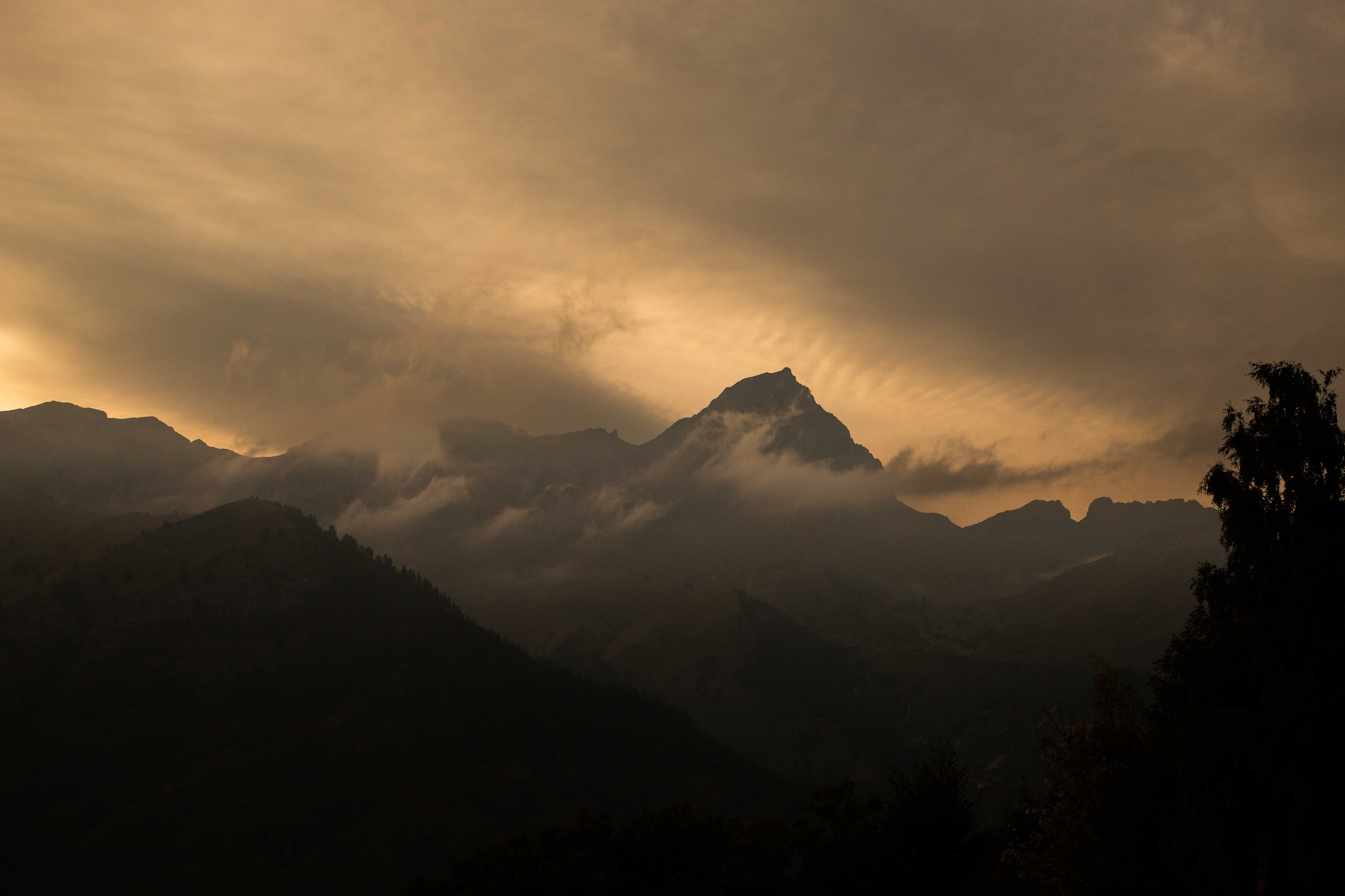
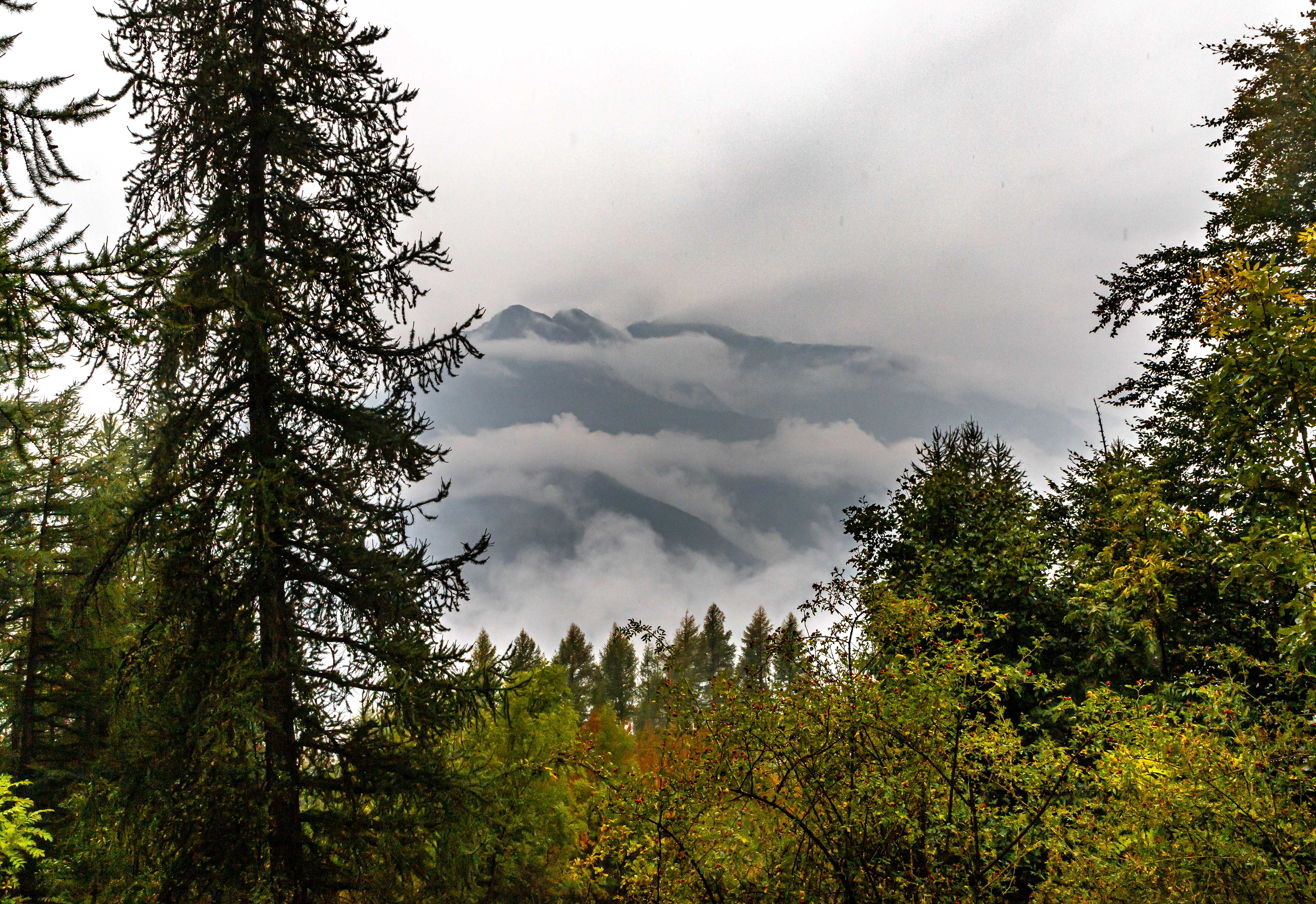
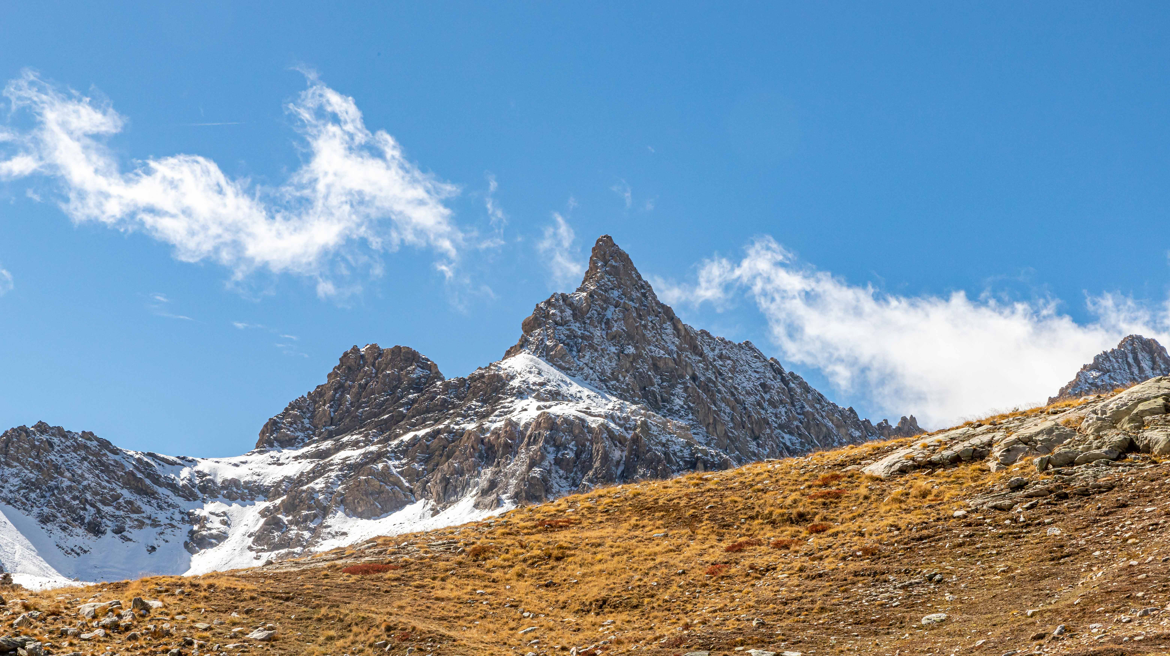
The silhouette of Chersogno (3,024 m) through the early morning cloud from Al Chersogno.
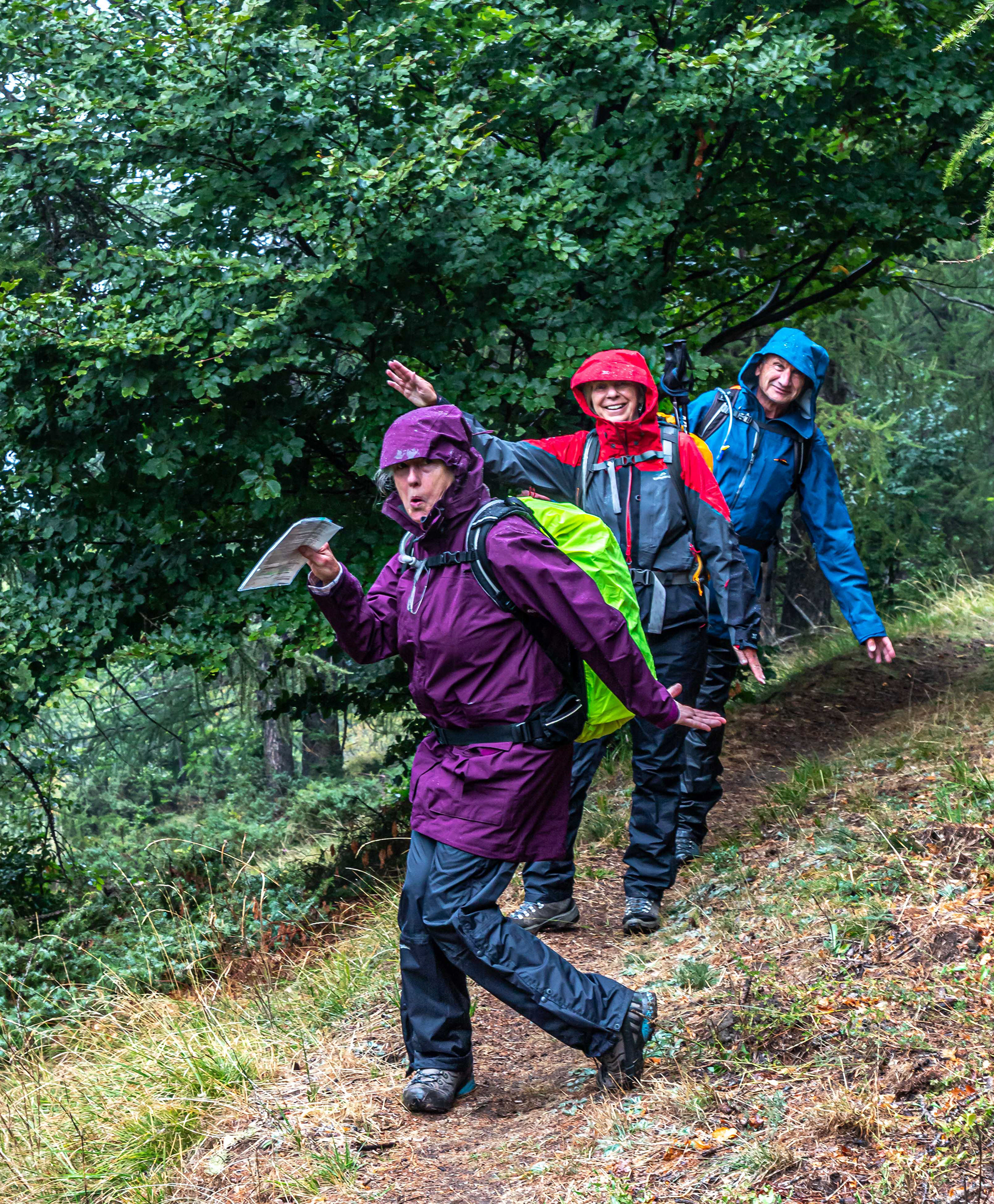
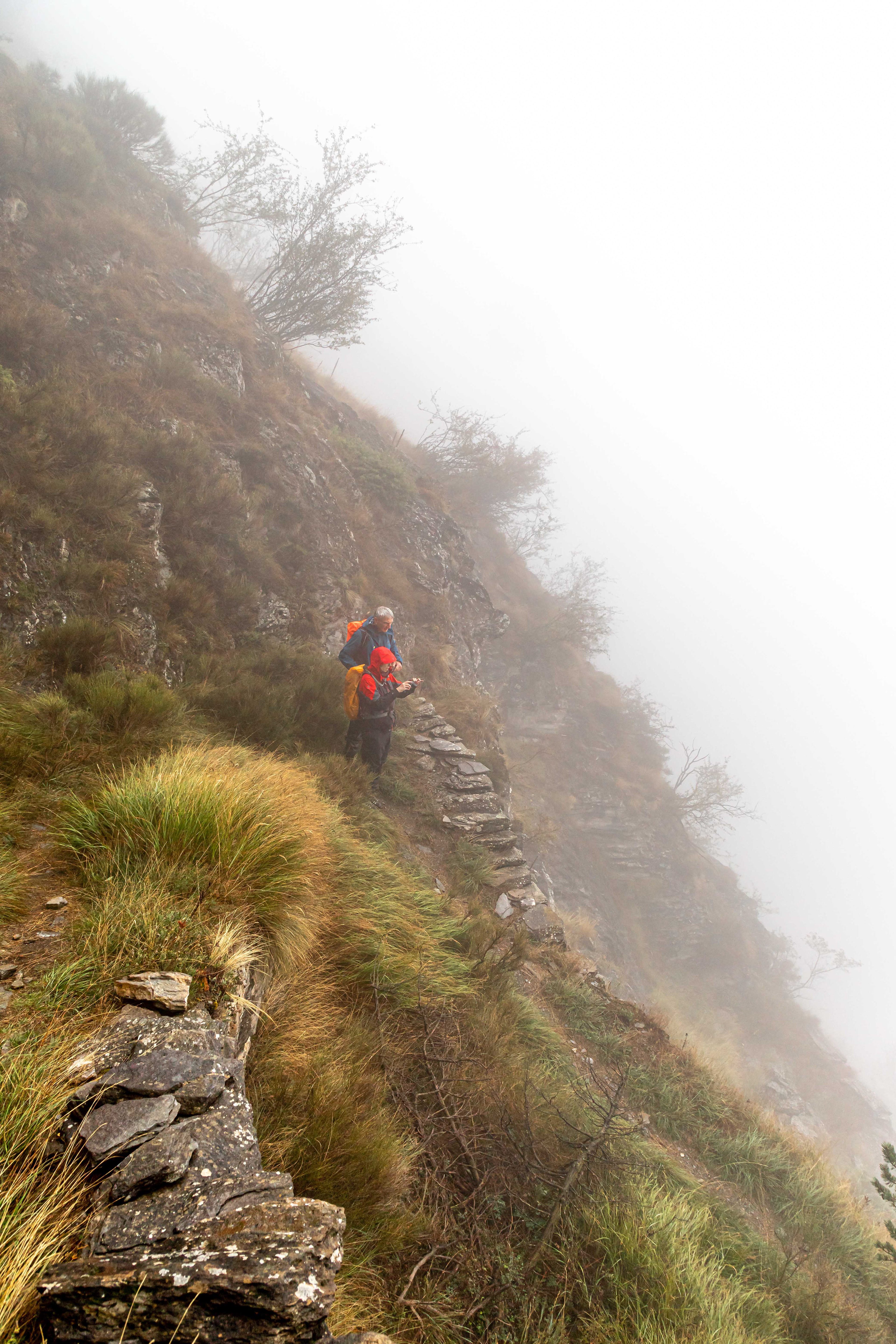
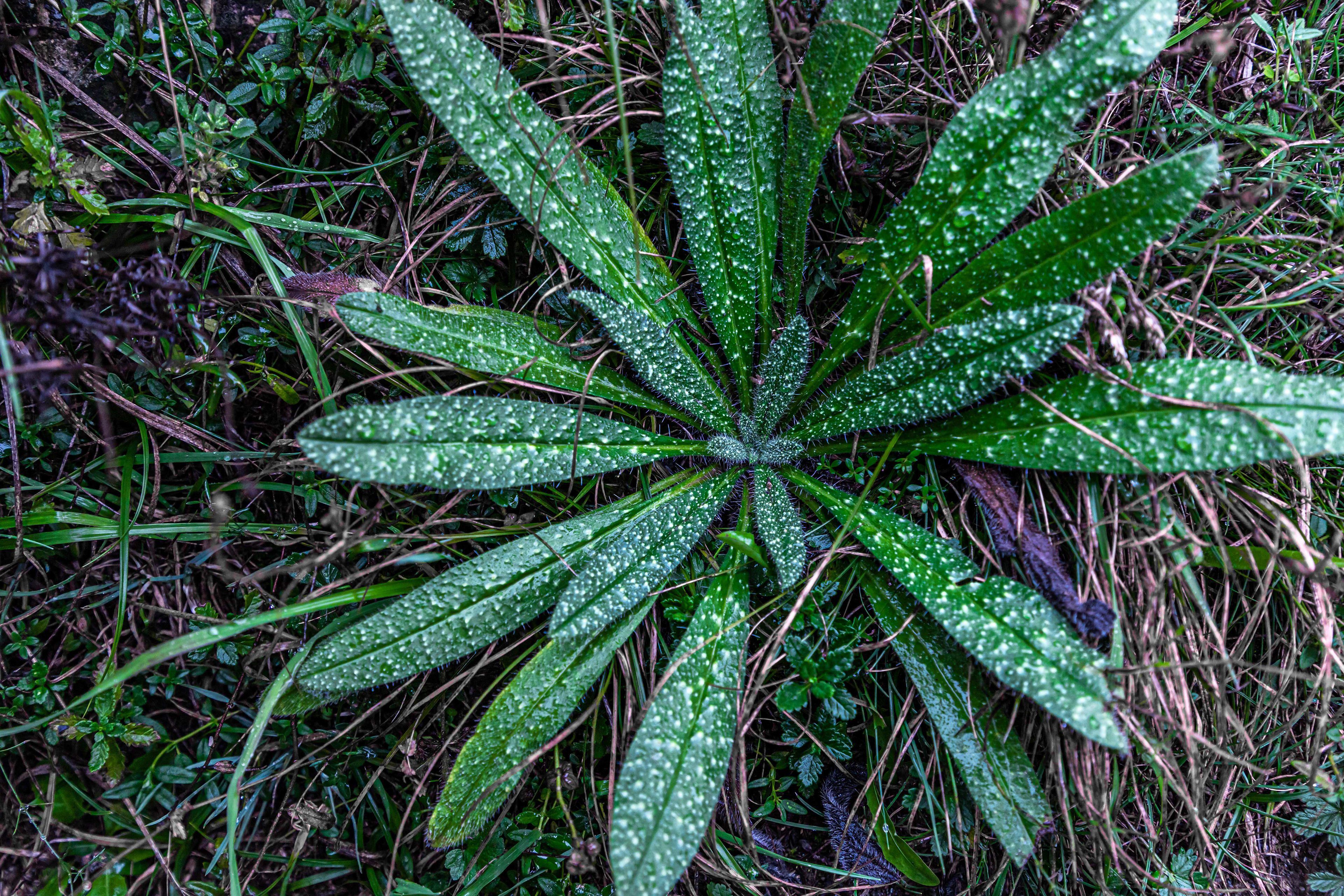
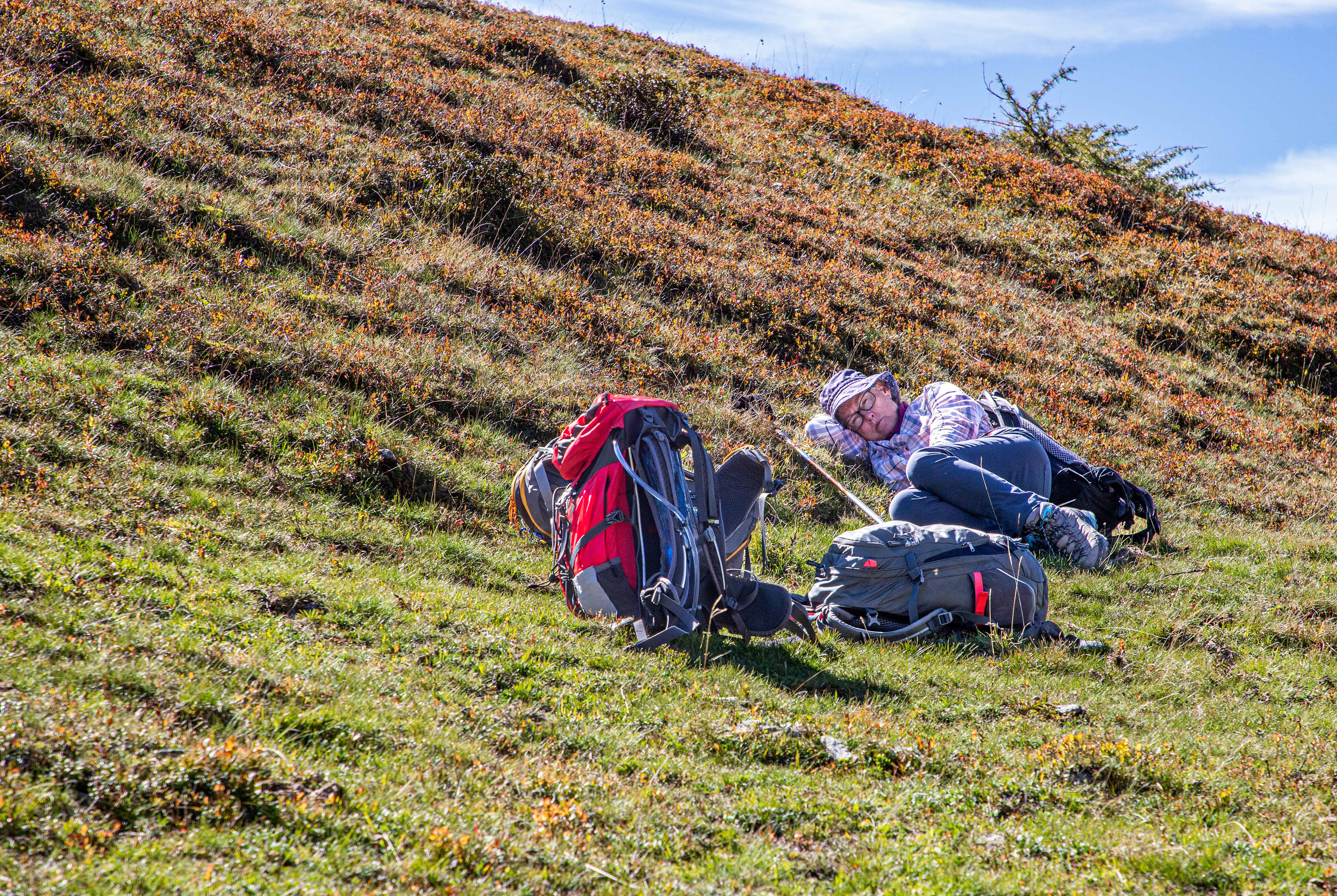
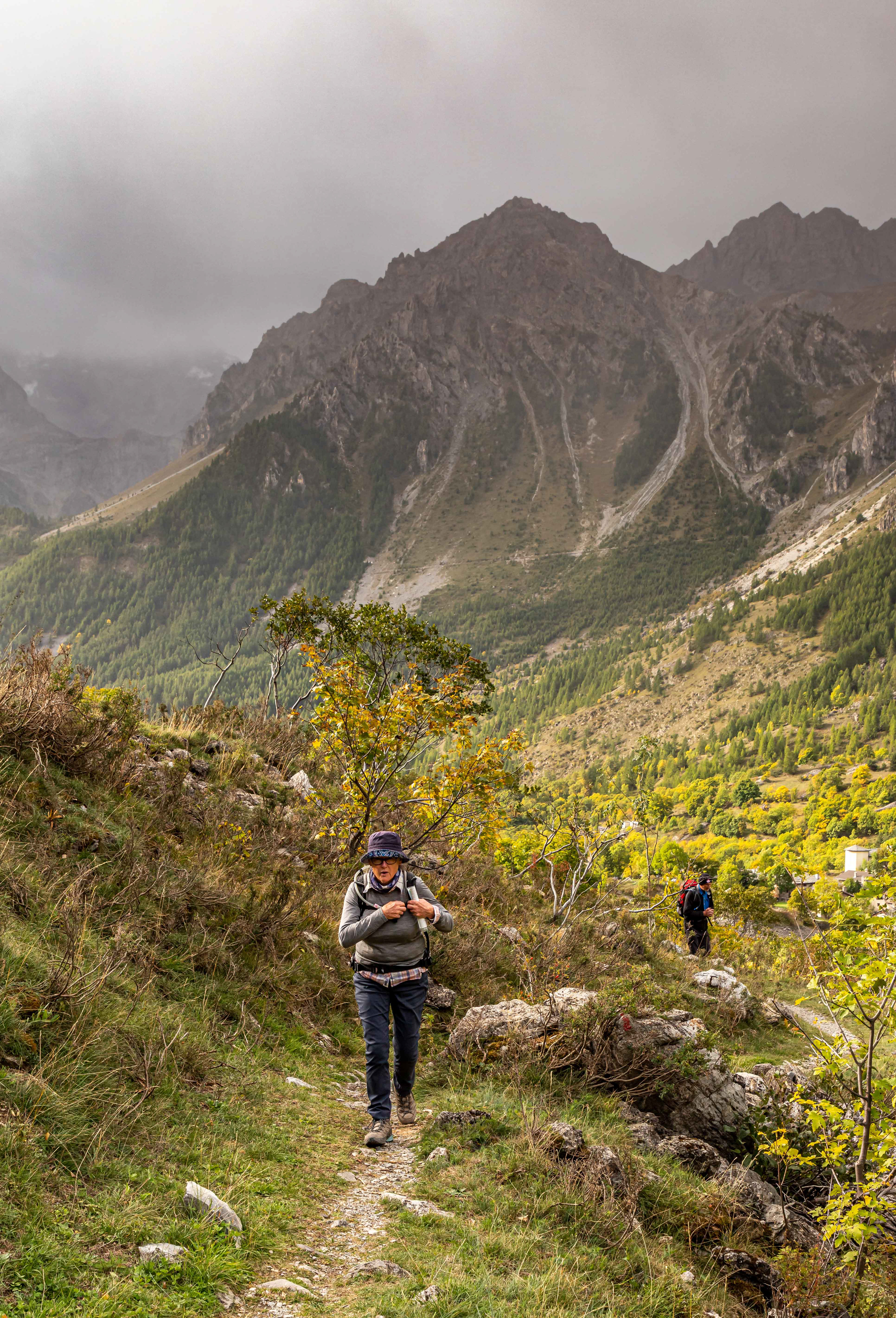
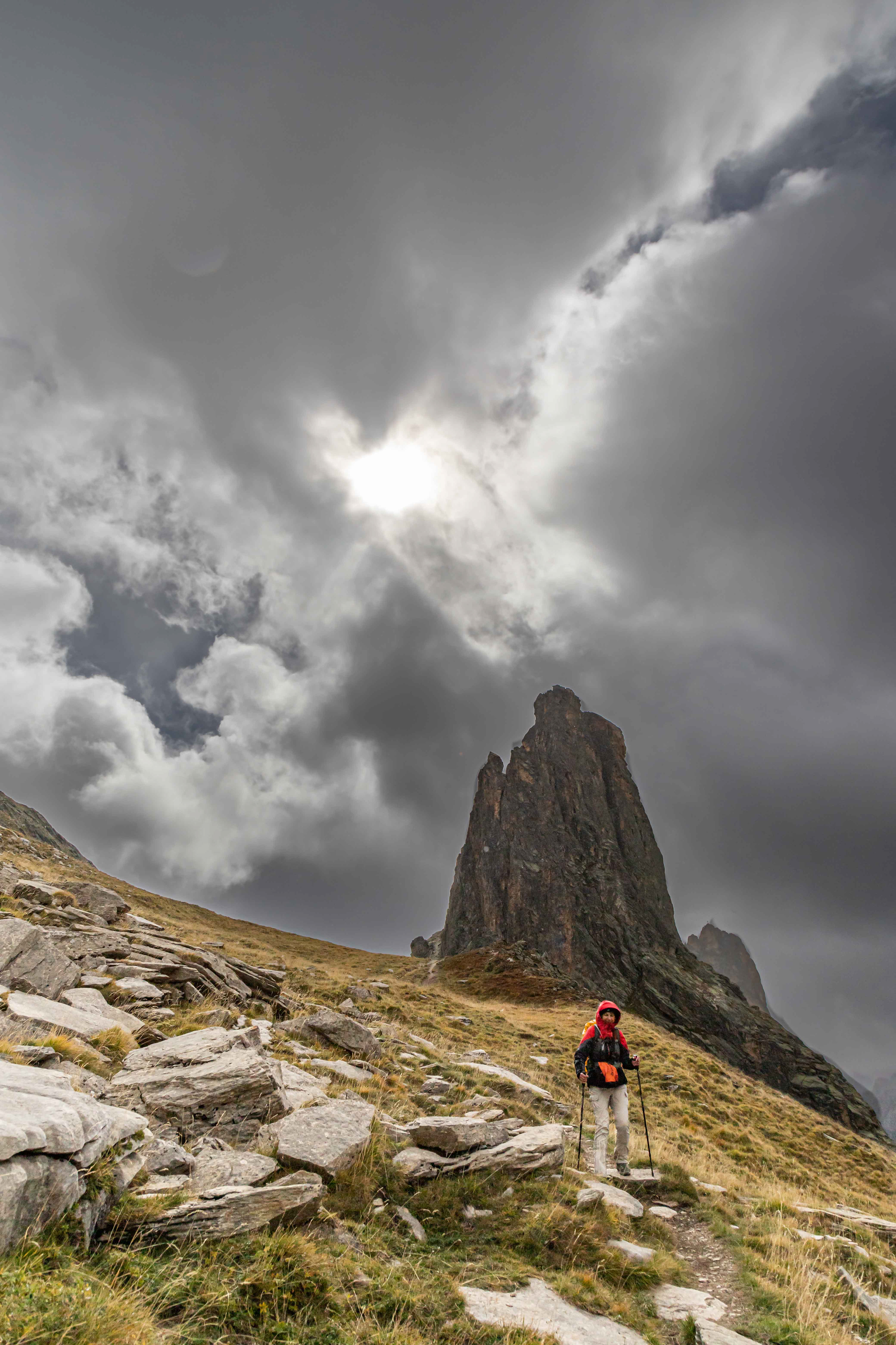
Happy in the rain-Jo, Jo and Les (and Neal behind the camera). It started out as a wet day which wasn't a bad thing as it gave us the chance to fine tune our walking gear. In fact it was one of only 2 wet days that we encountered during our 4 week visit to Italy.
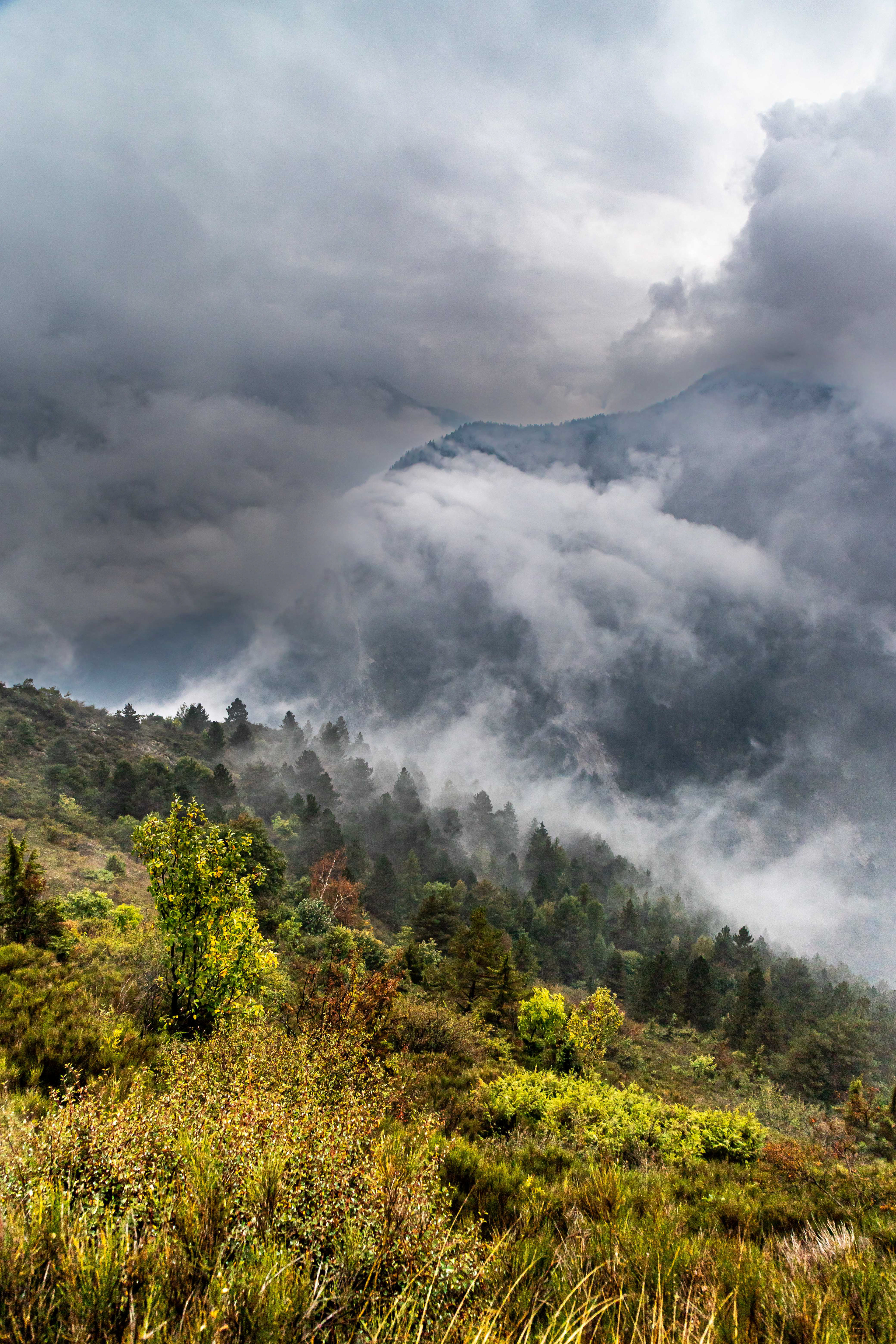
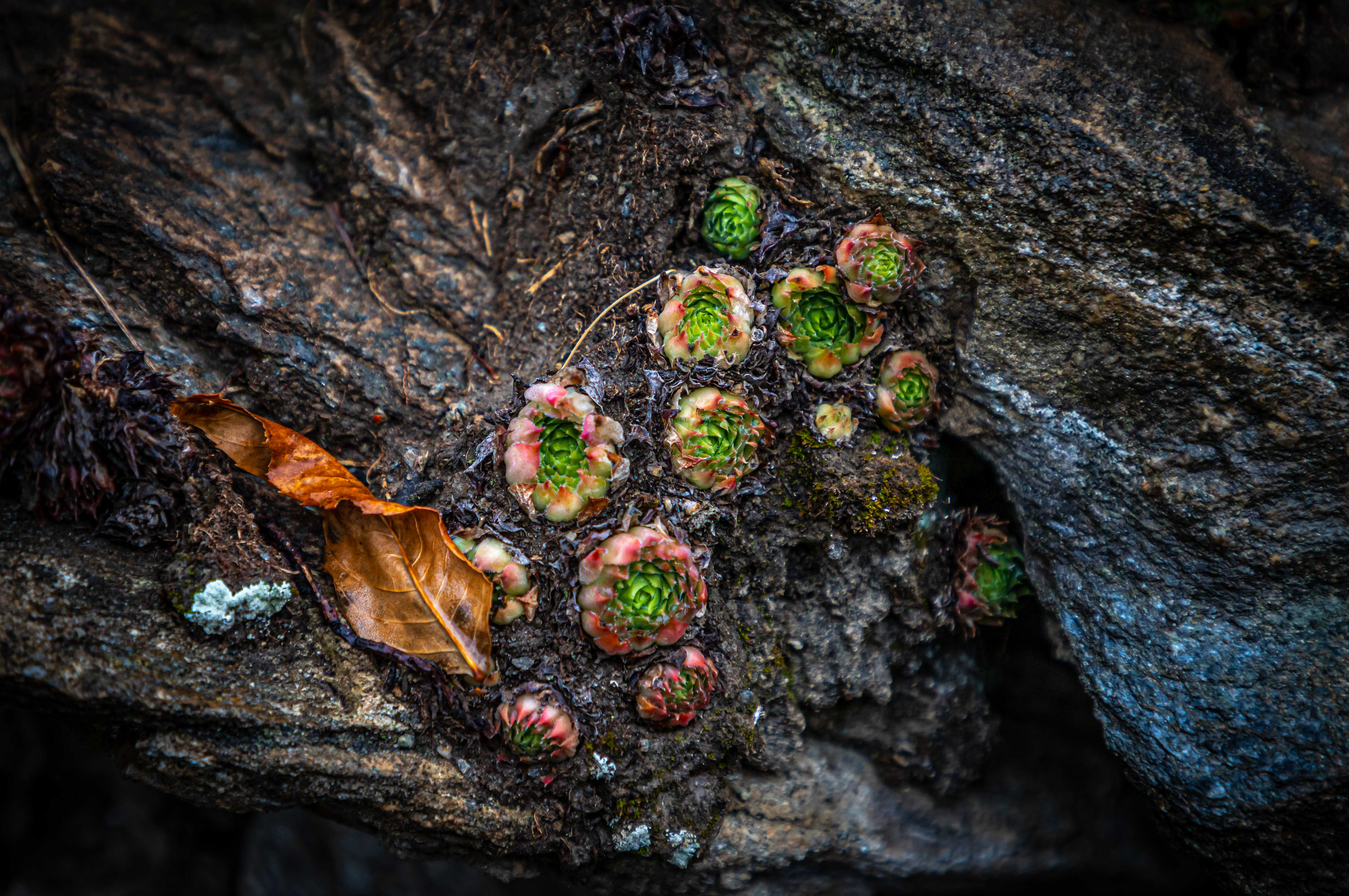
The wet and foggy condiitons lasted for much of the day.
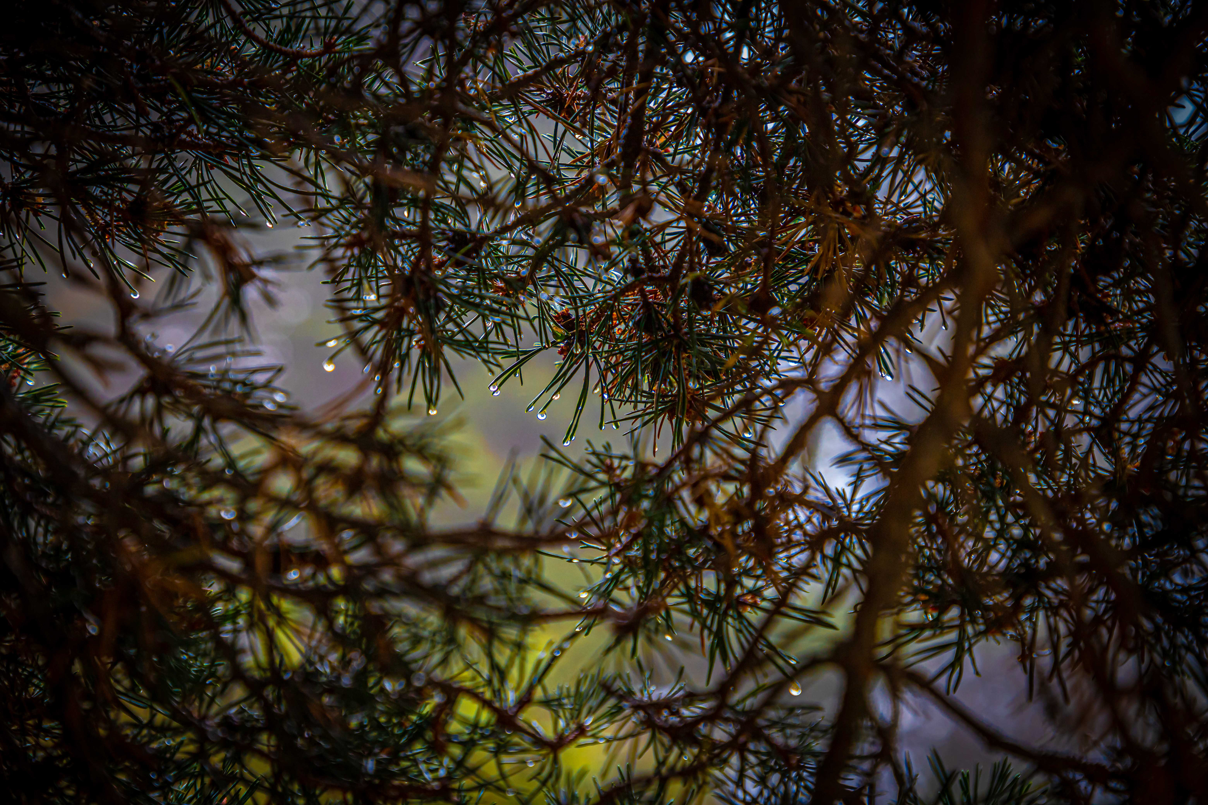

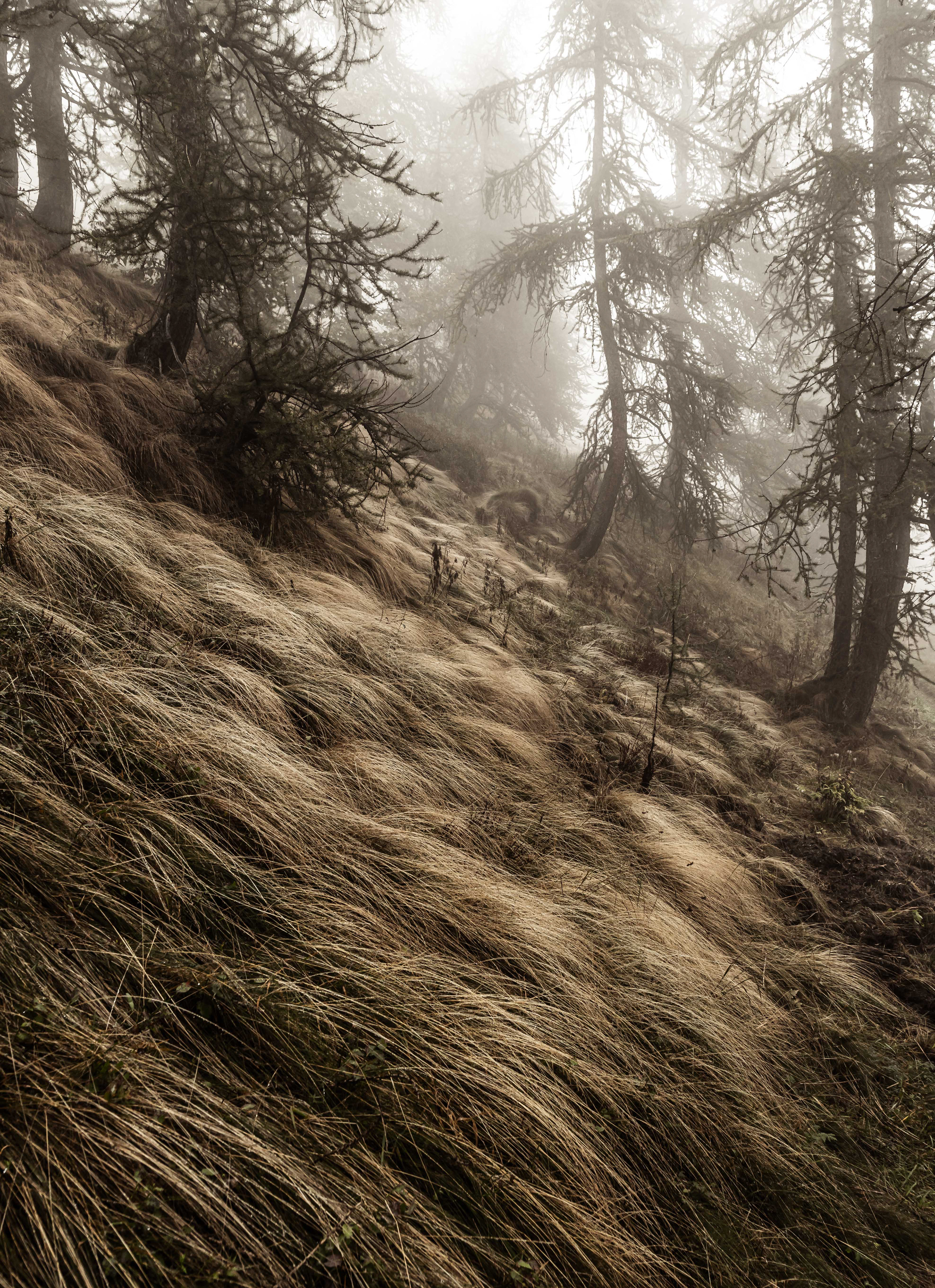
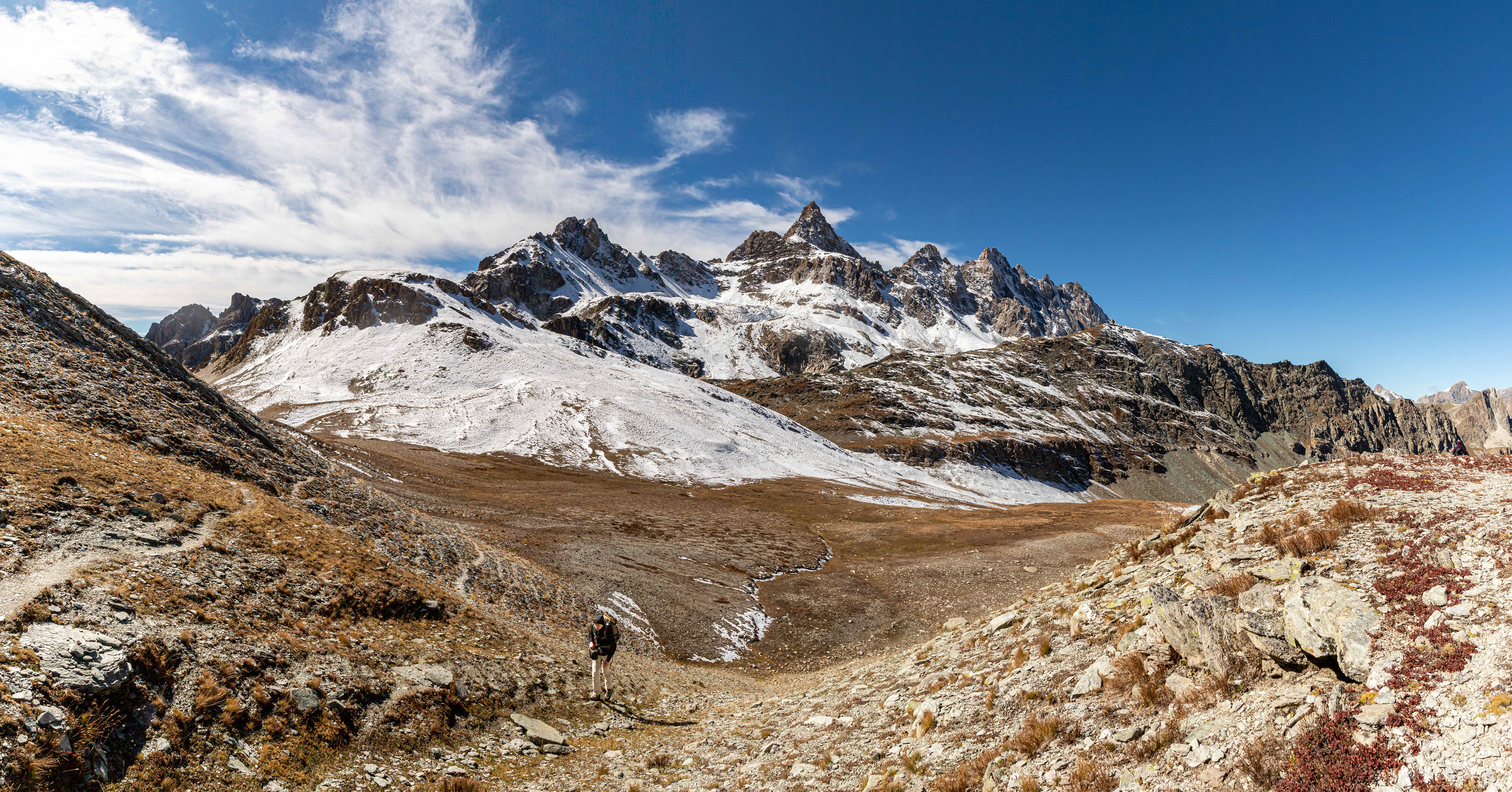
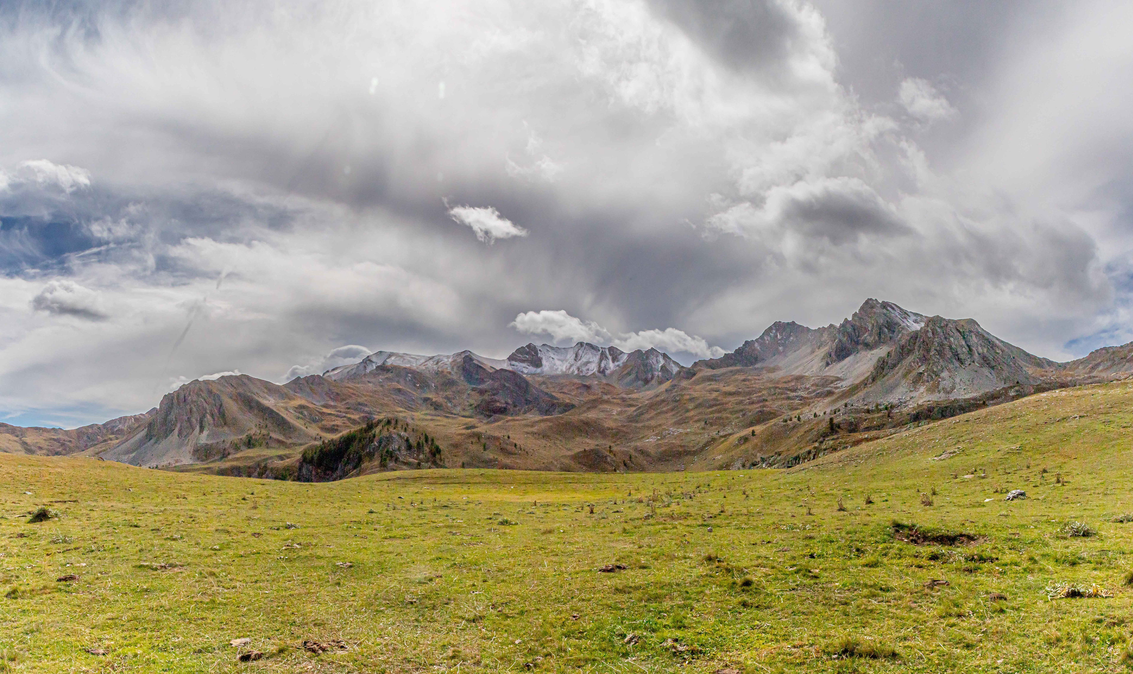
Views were somewhat hard to find although the mist did add to the atmosphere (one has to be optimistic).
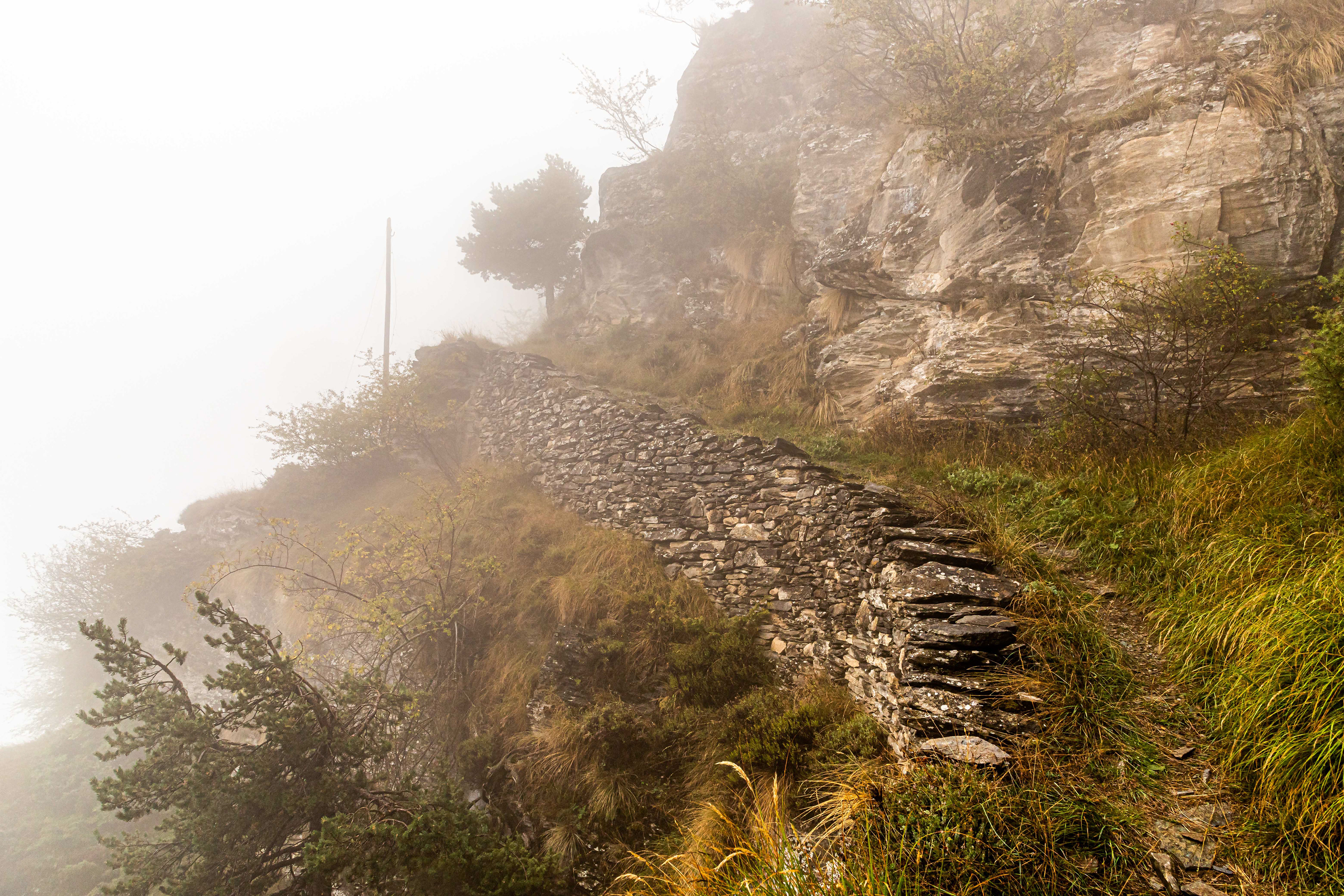
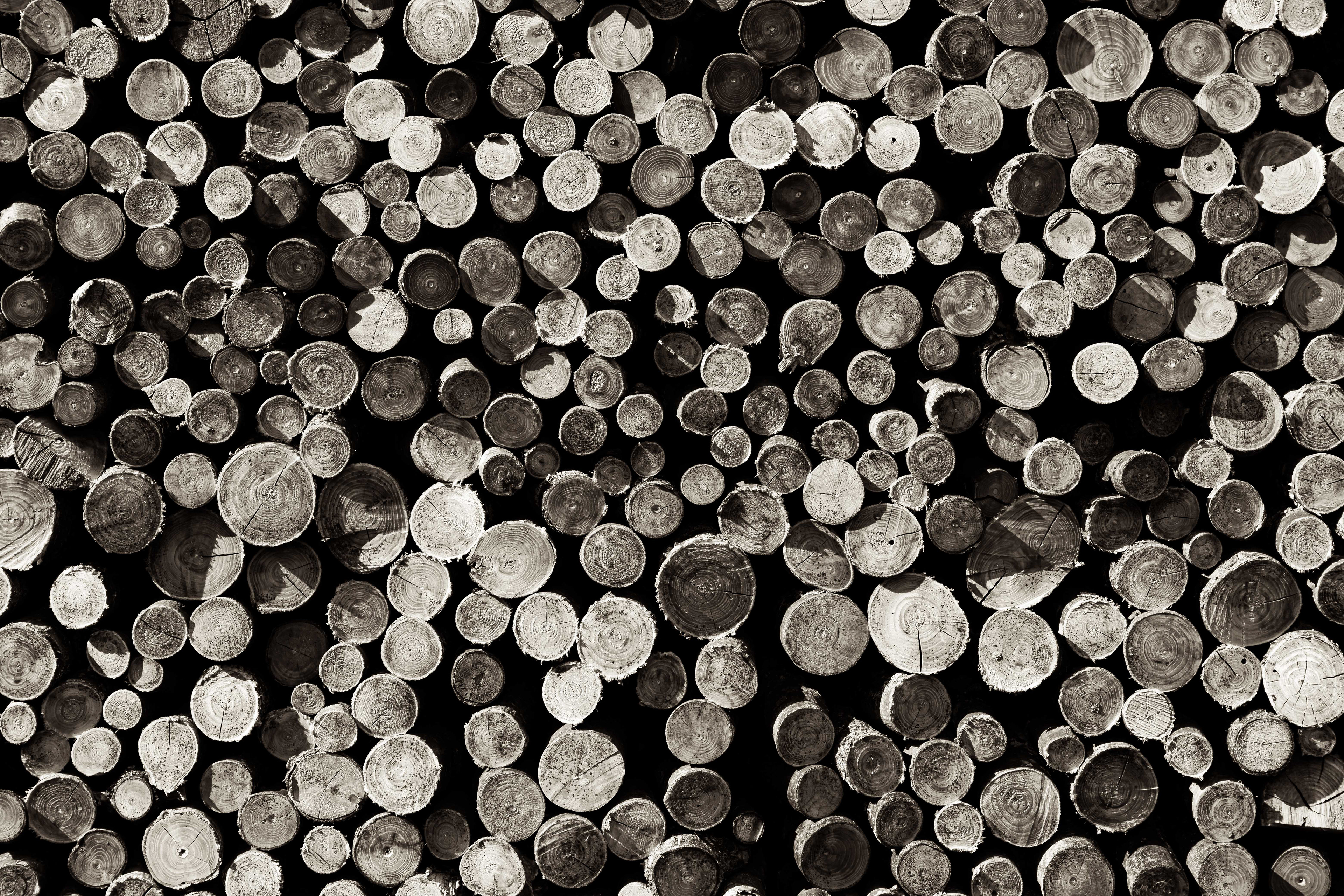
The dry-stone remains of a swith-back track that snaked down the mountain and was used to bring timber into the valley when there was little growing locally. Beautiful craftsmanship.


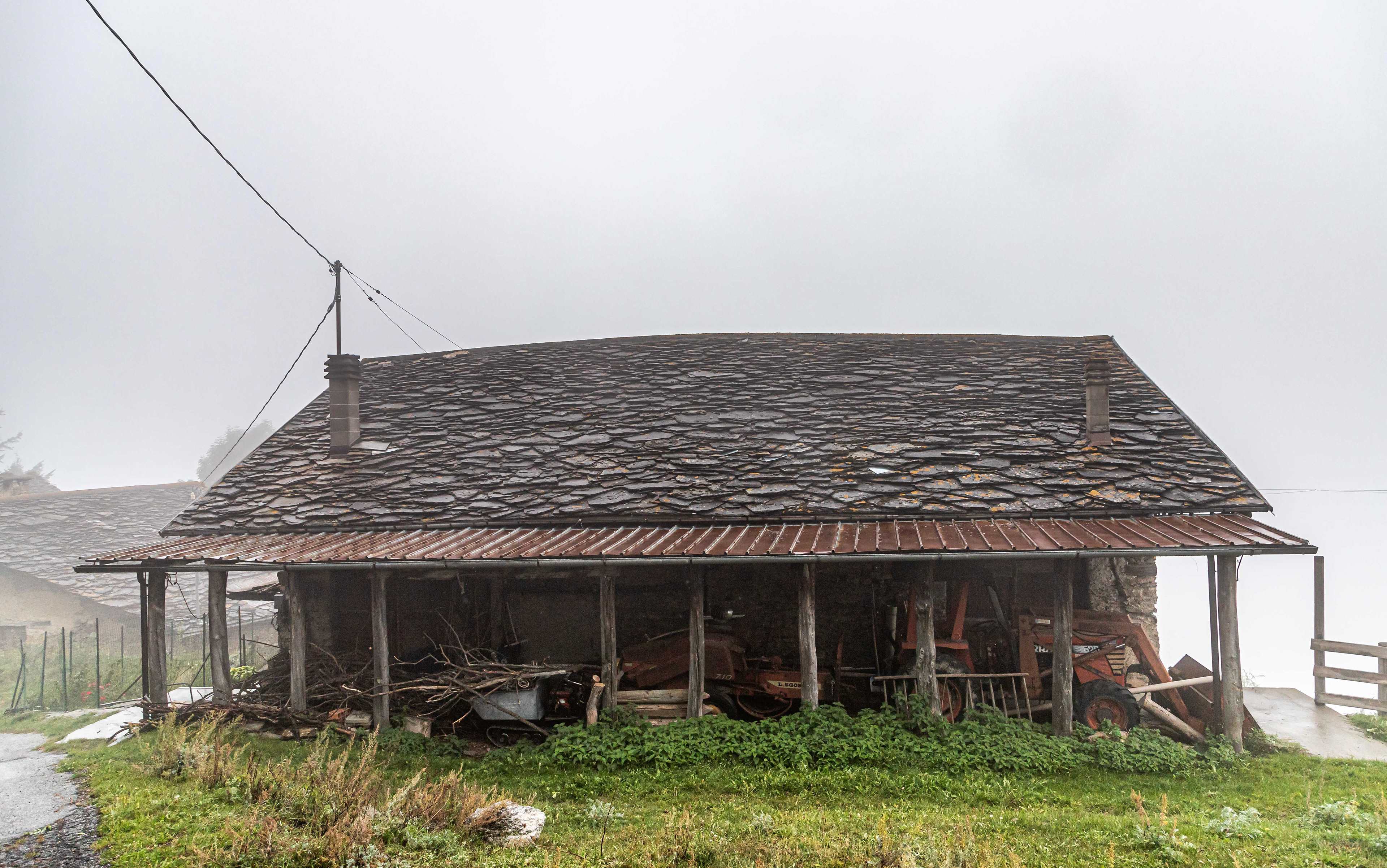
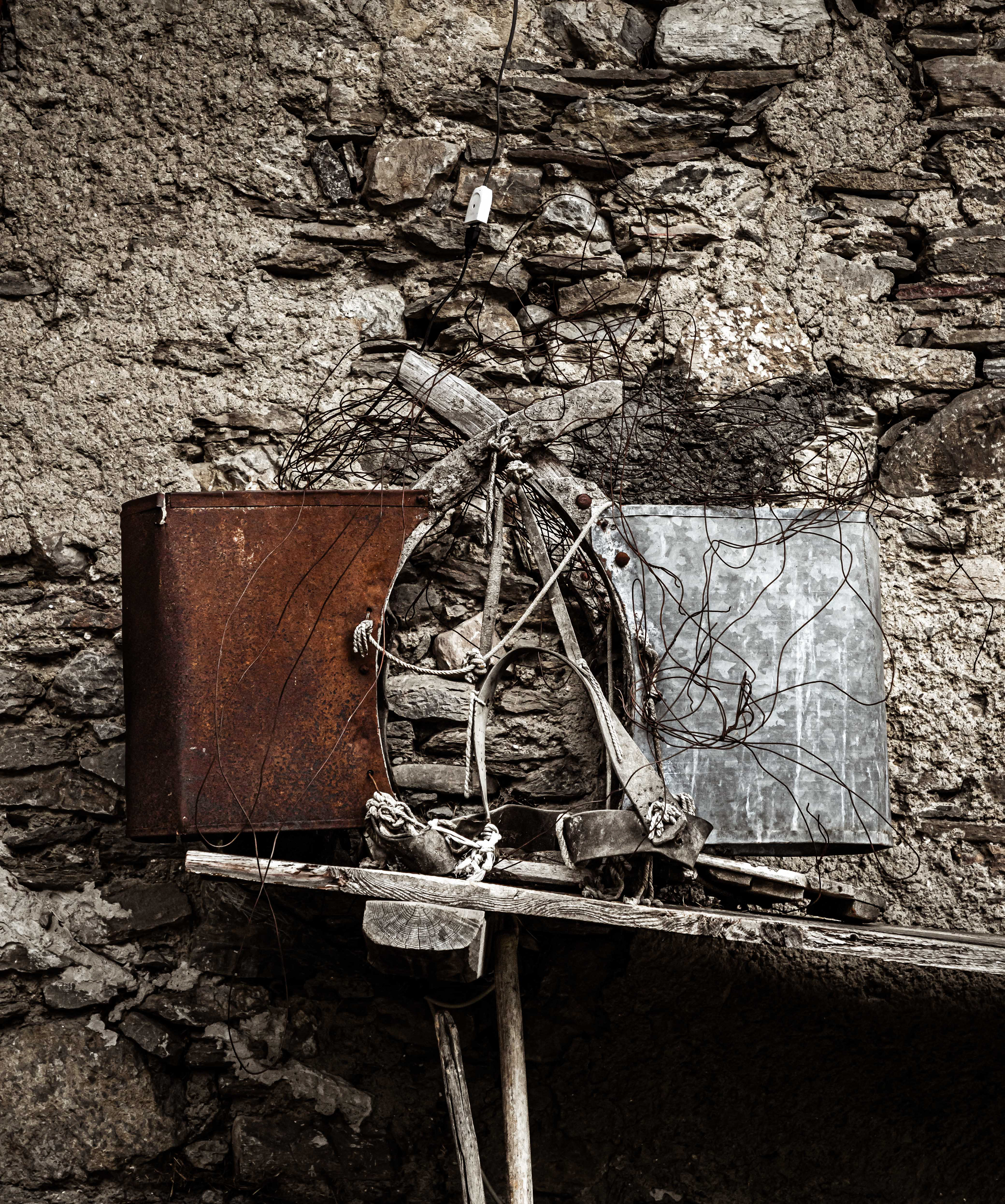
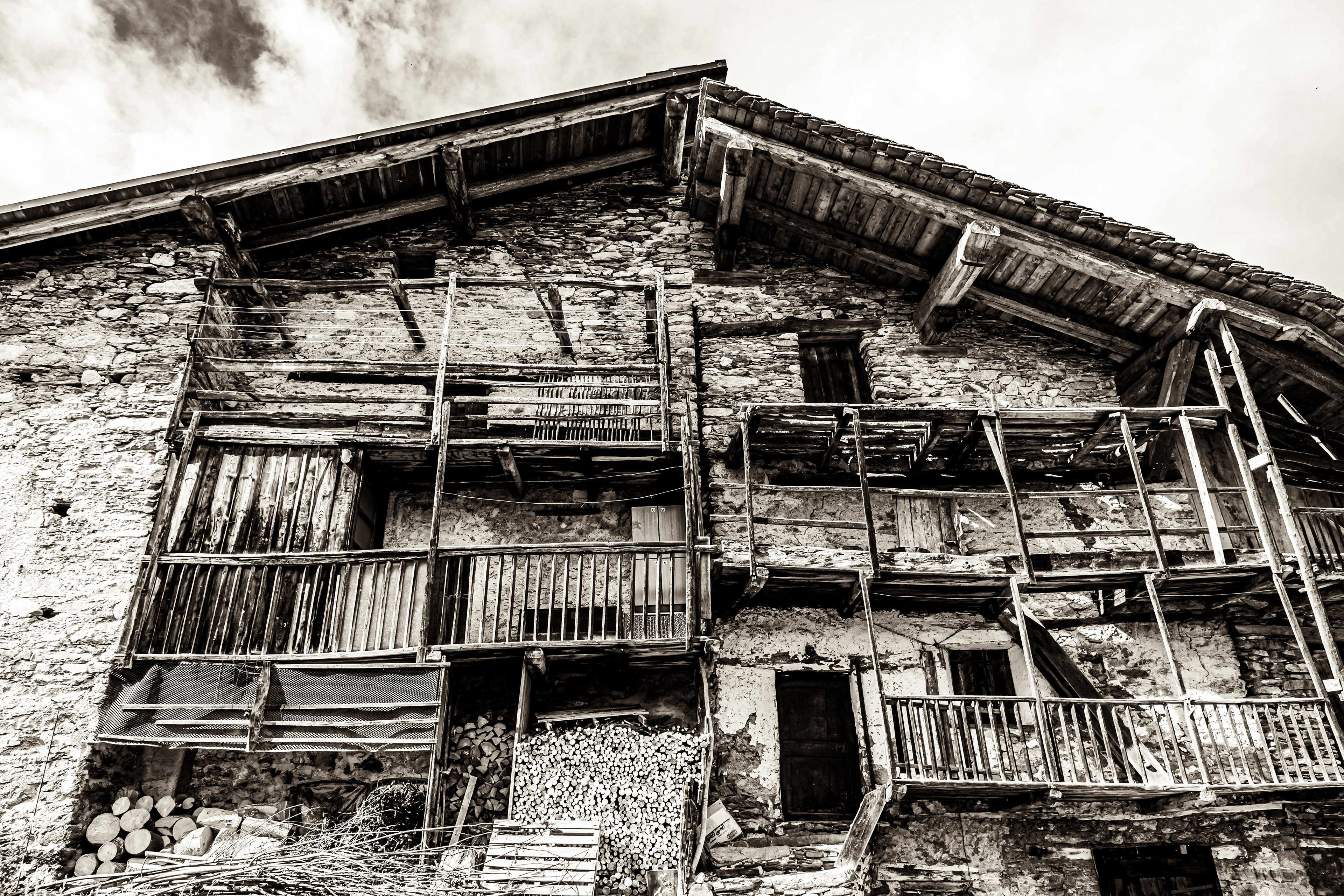
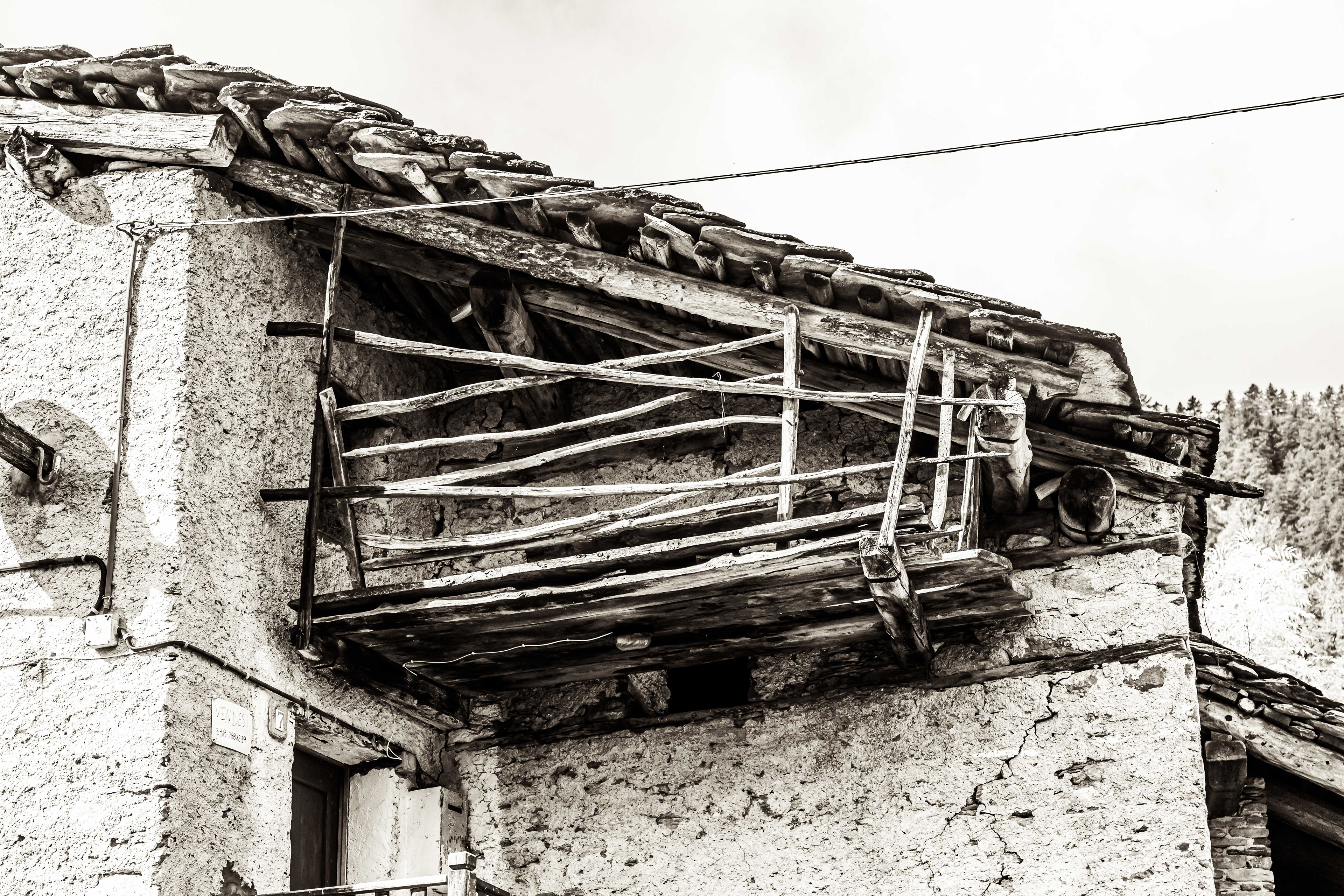
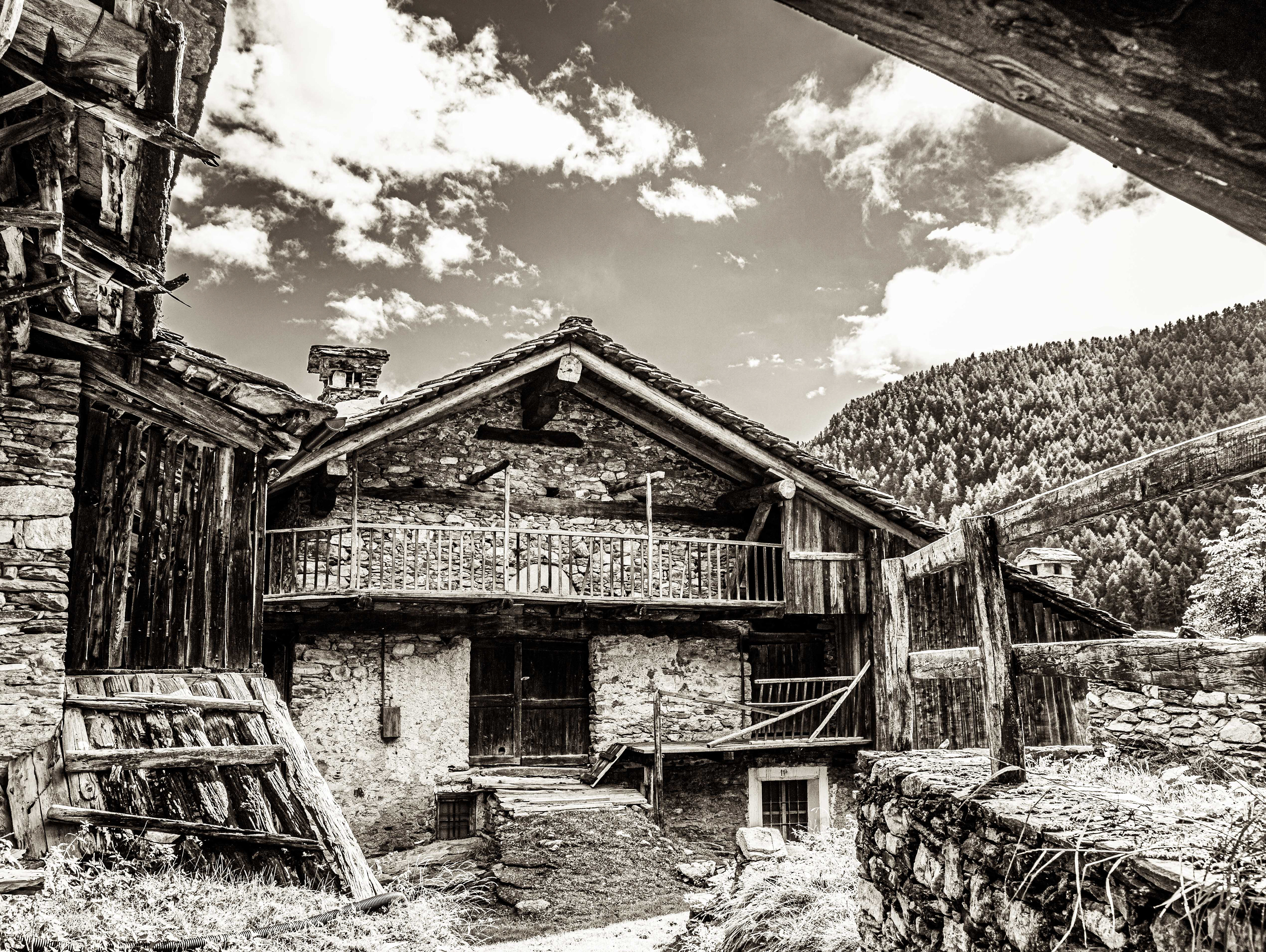
House and machinery shed in the hamlet of San Vittore. Note the stone roof tiles.
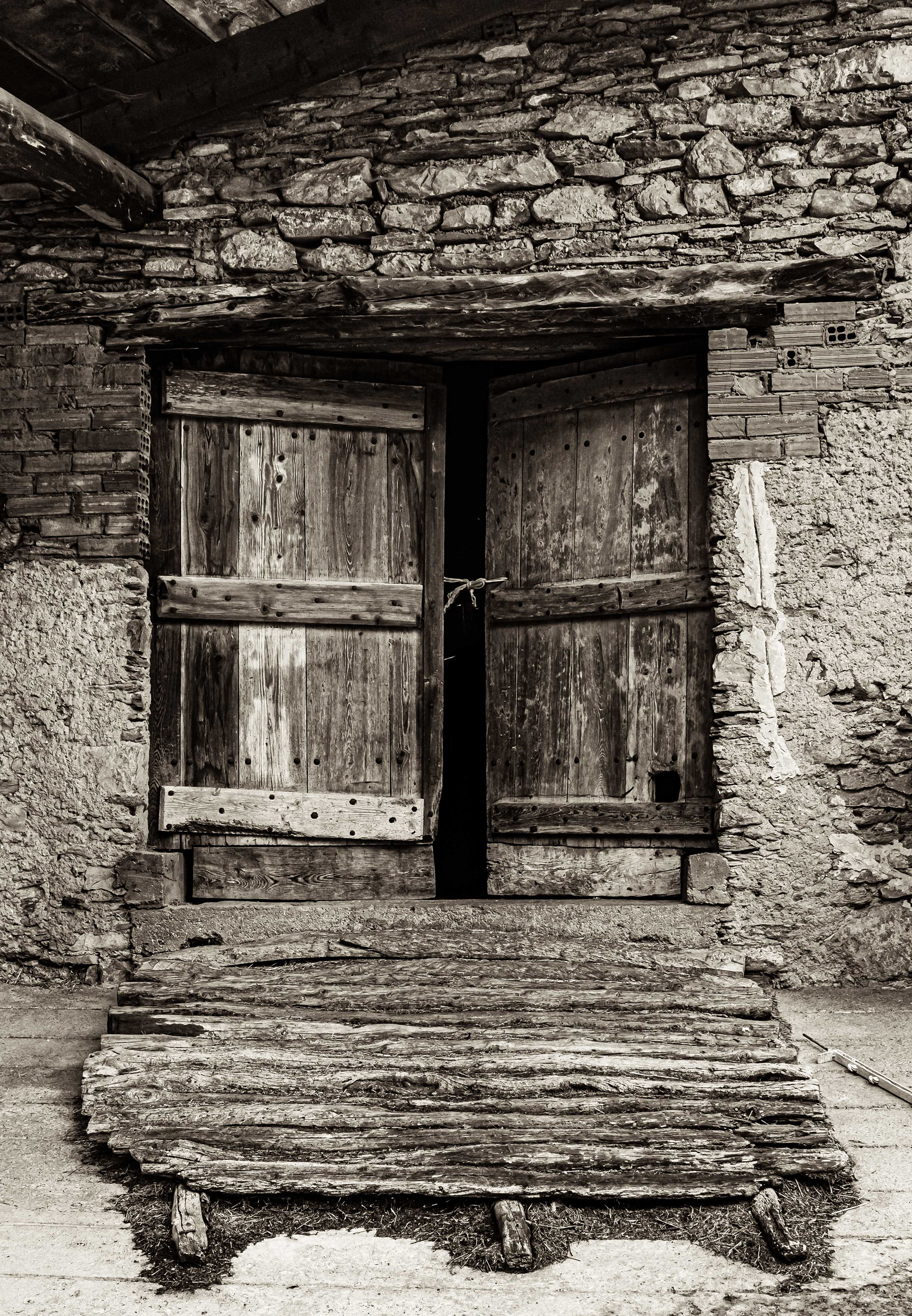
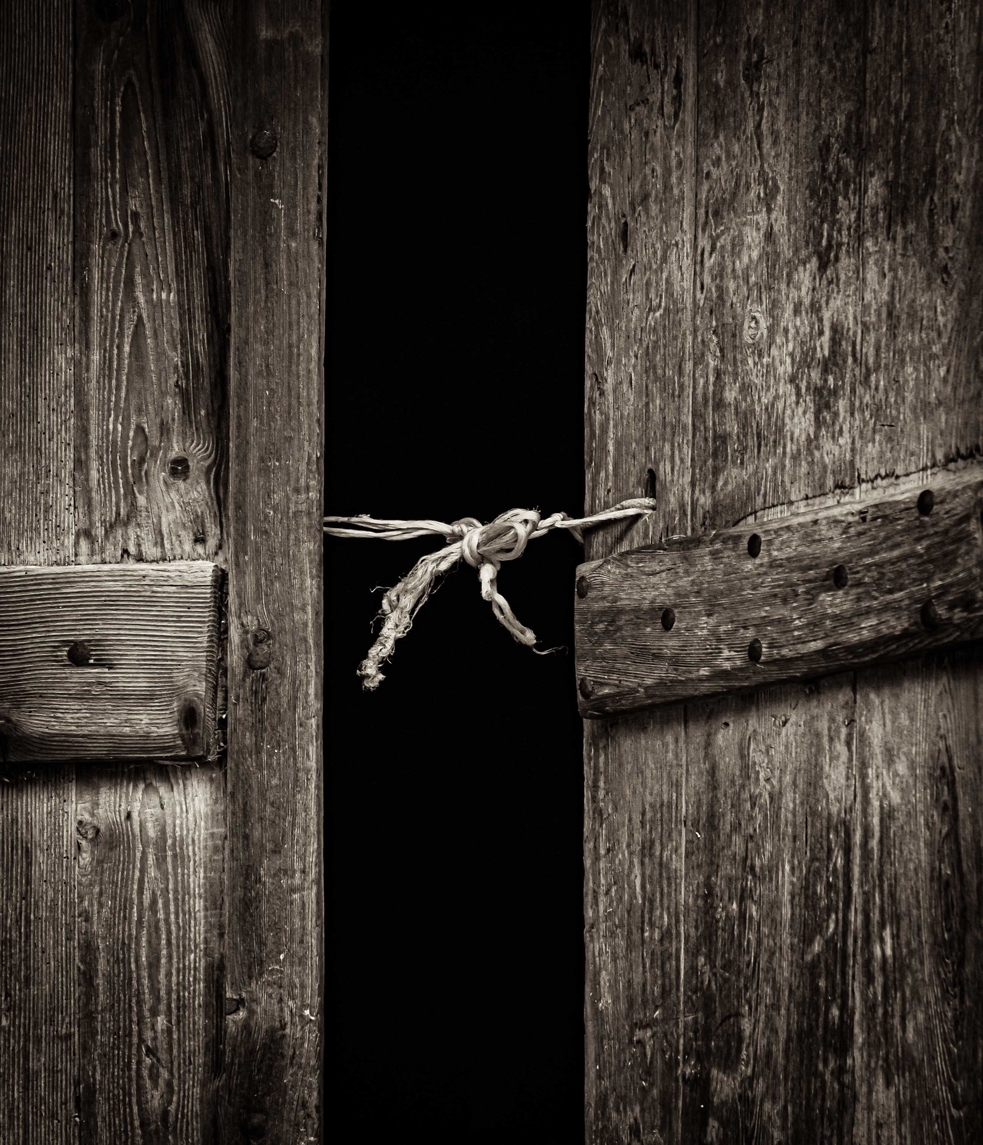
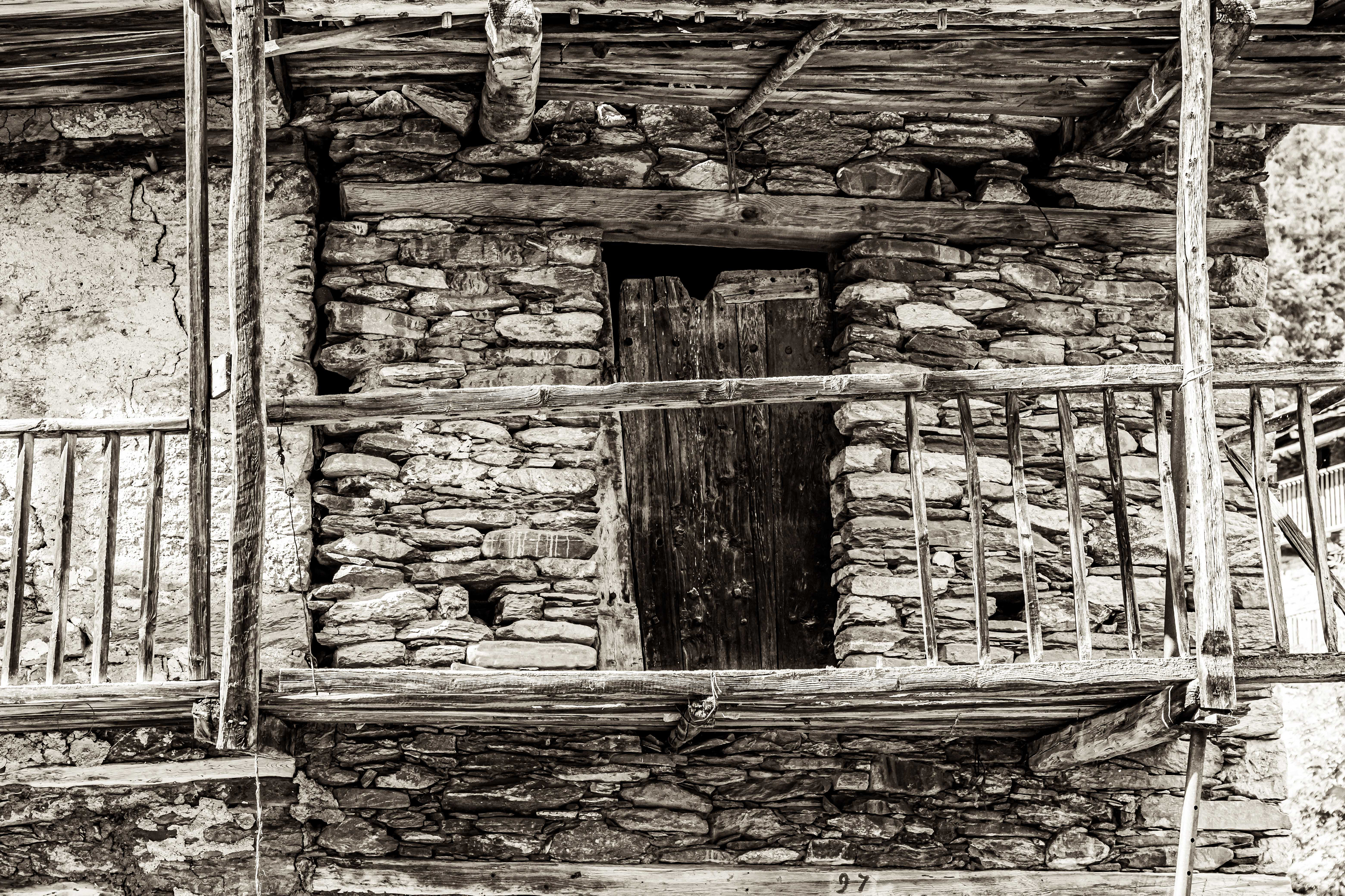
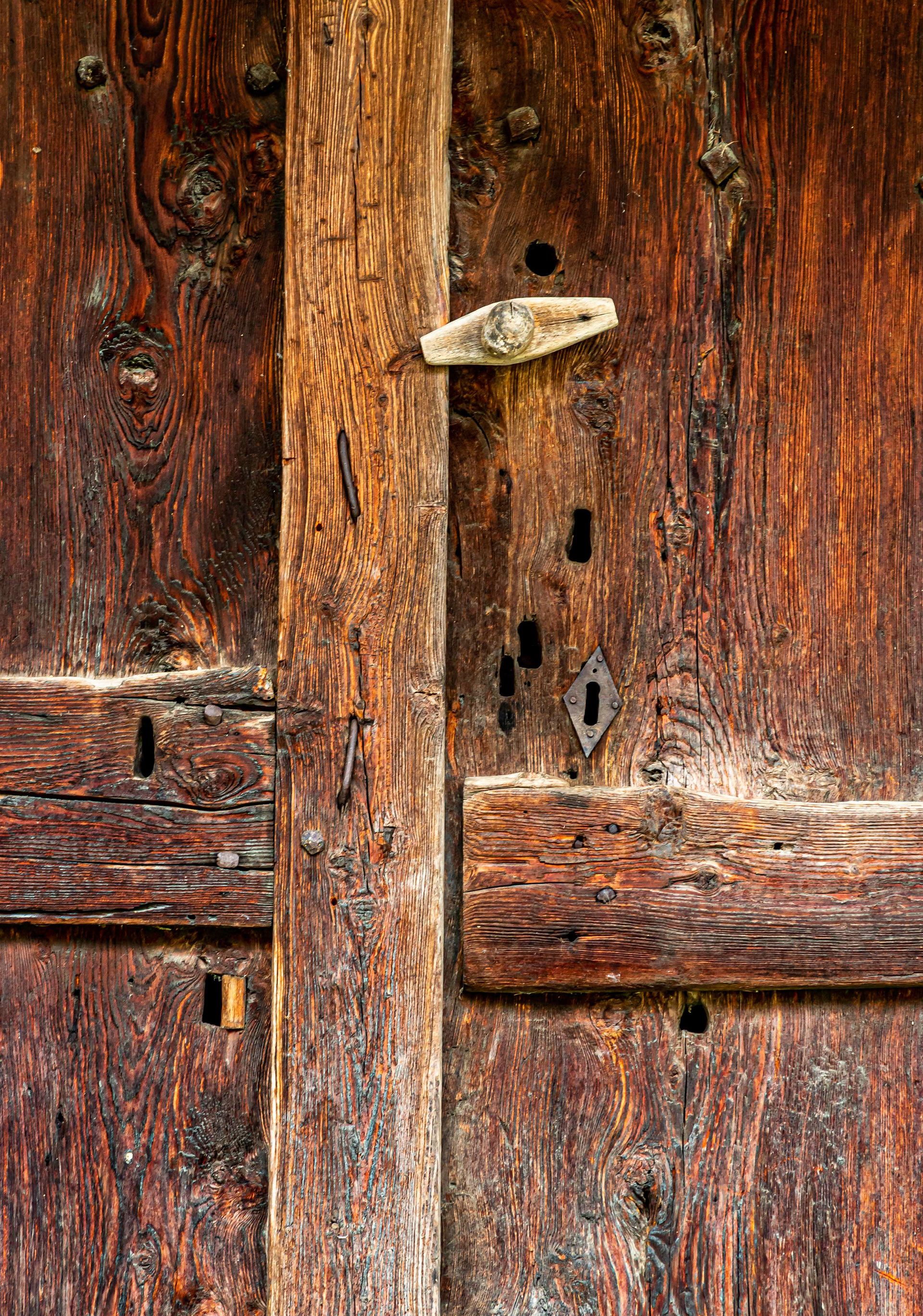
Below: Rustic barn doors and an old horse (or possibly mule) carrying device used to ship product to market back before a modern road system came to the mountains.

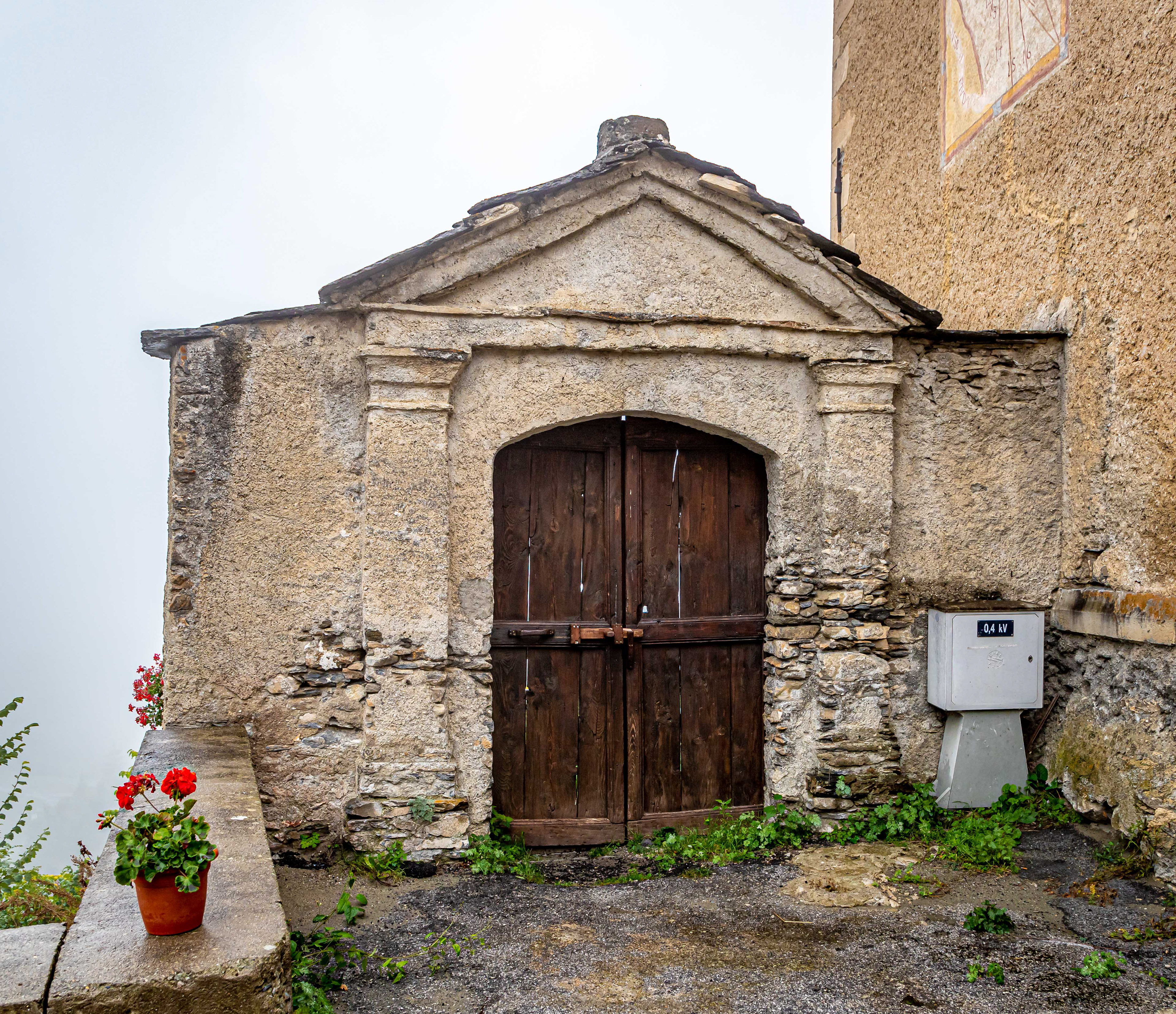
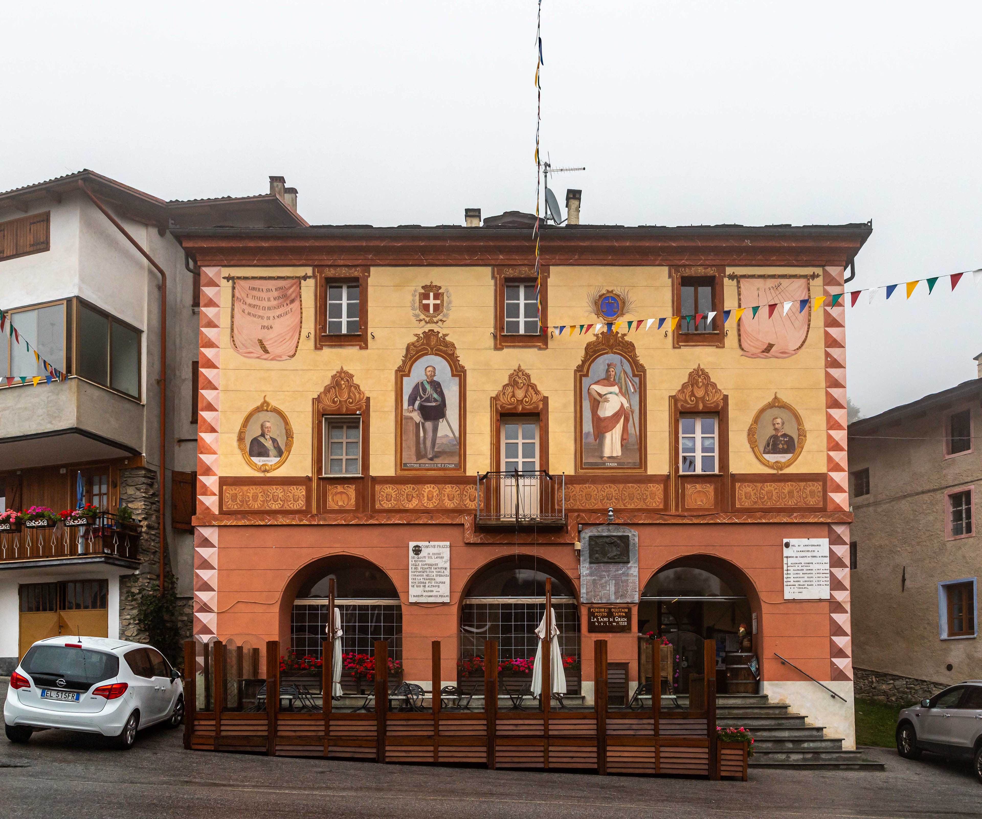
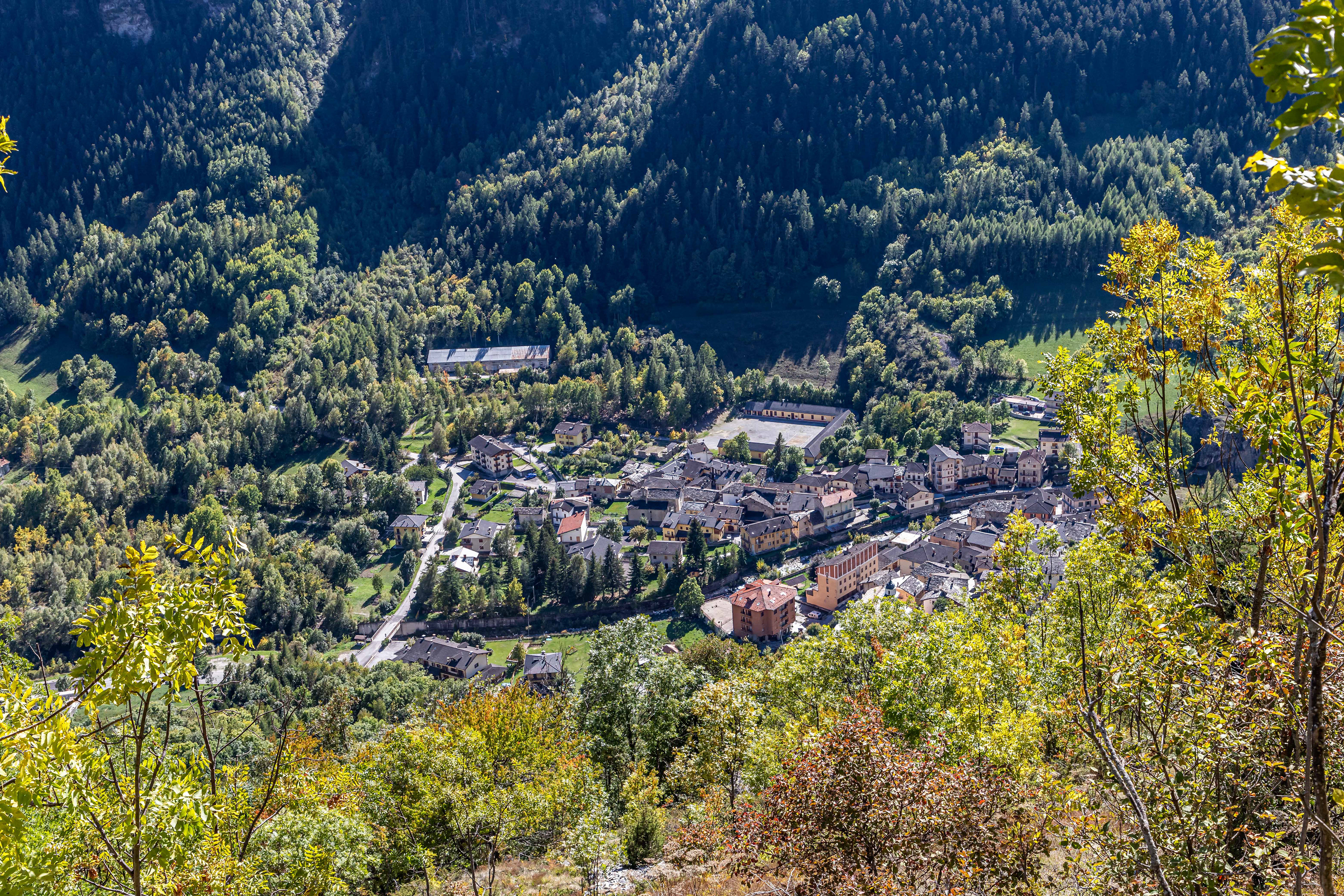
A walk down the hill from Allemandi brought us to the village of San Michele and its church and public buildings which are adorned with magnificant frescoes.

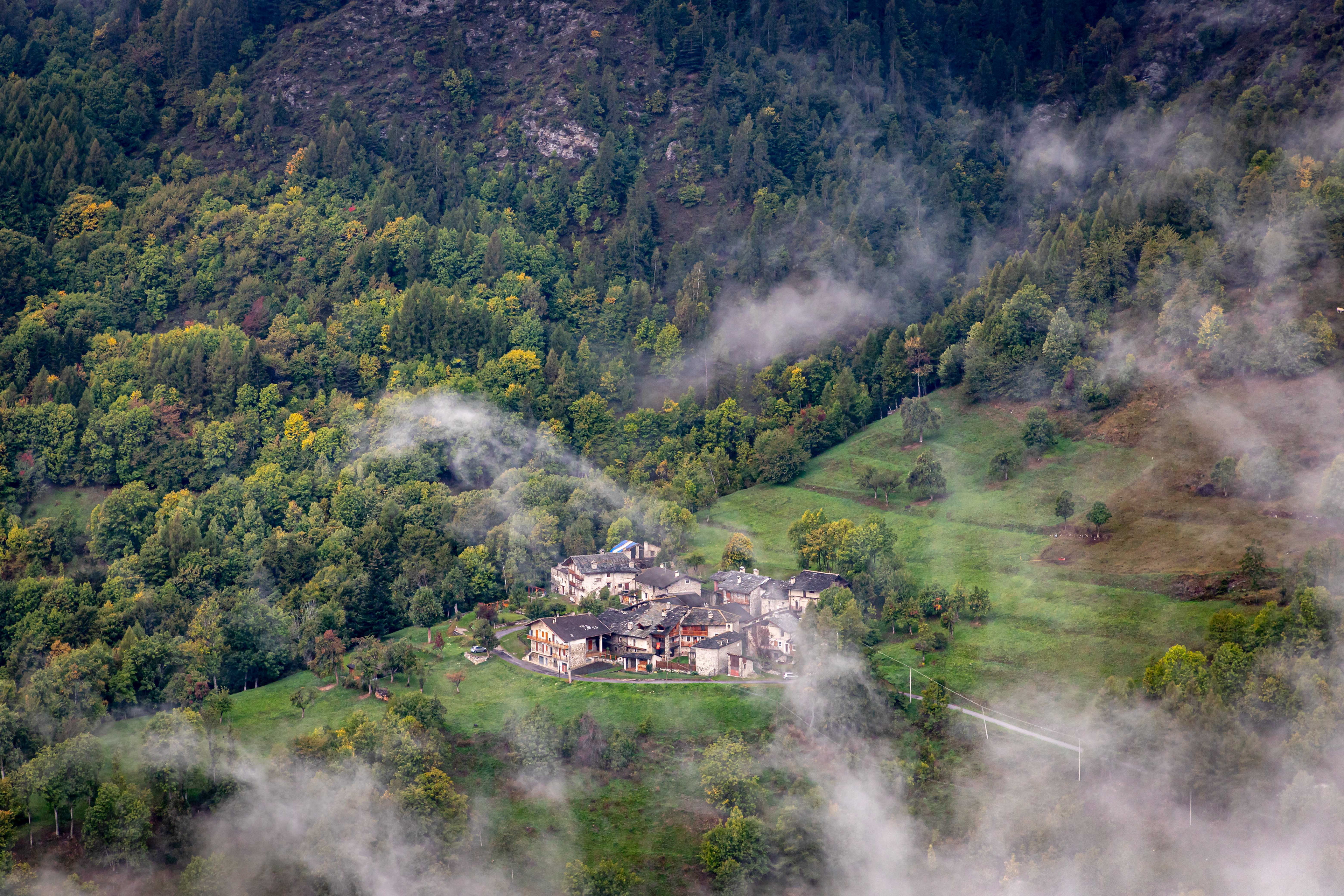
Village in the mist.

Walking through the Col San Michele on the way to the adjacent Elva Valley.
A misty morning as we traversed across the slope and down into the Elva Valley.
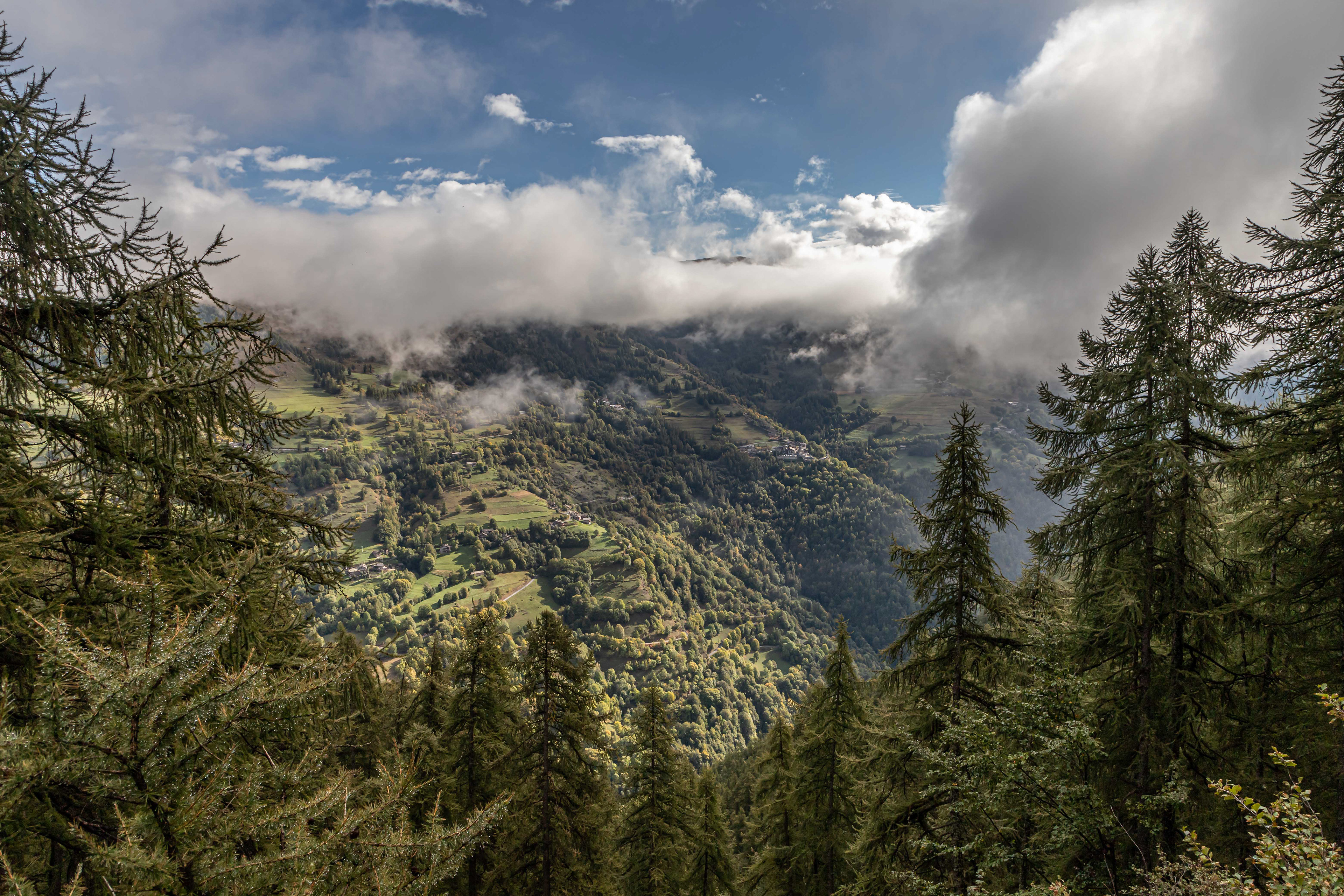
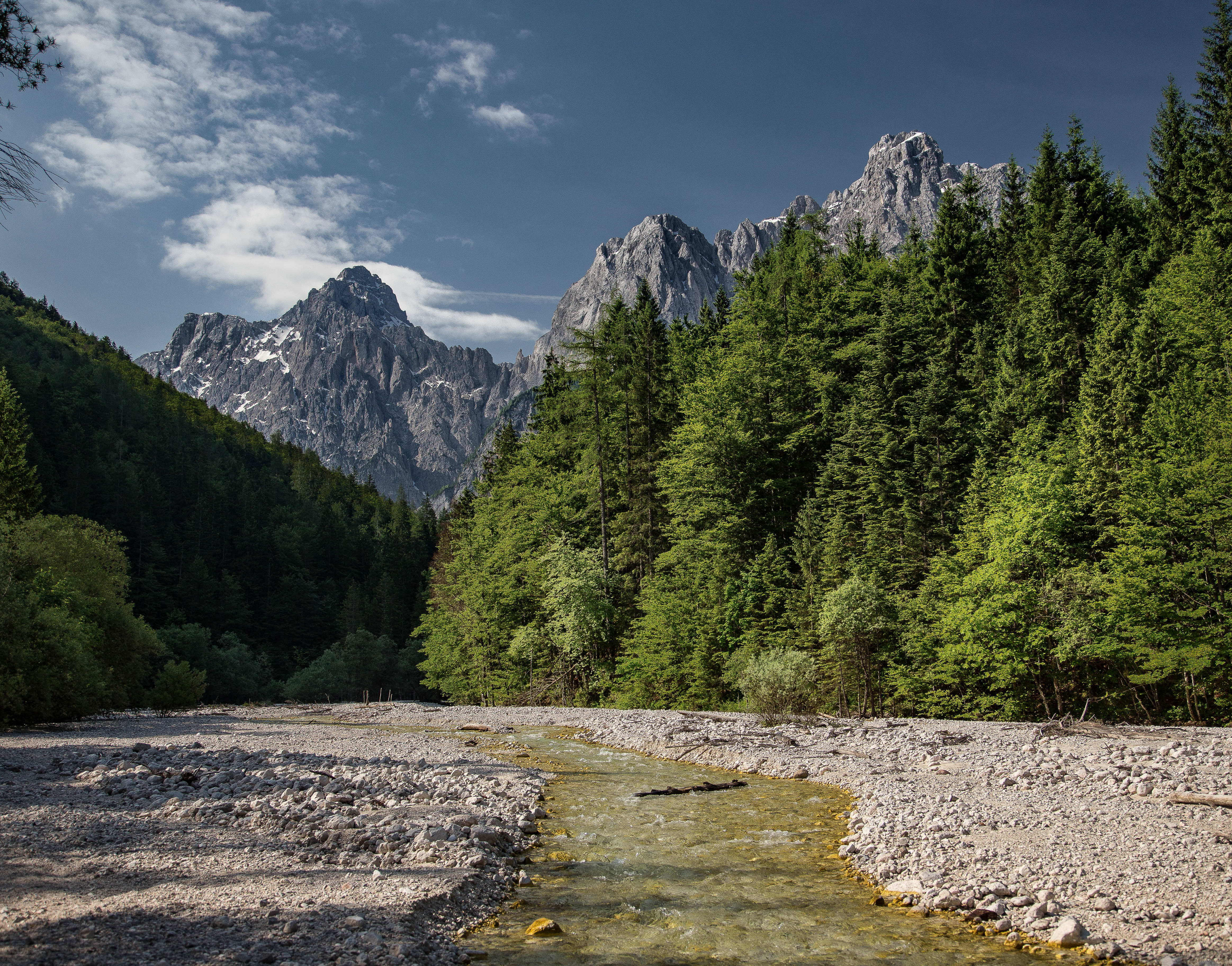
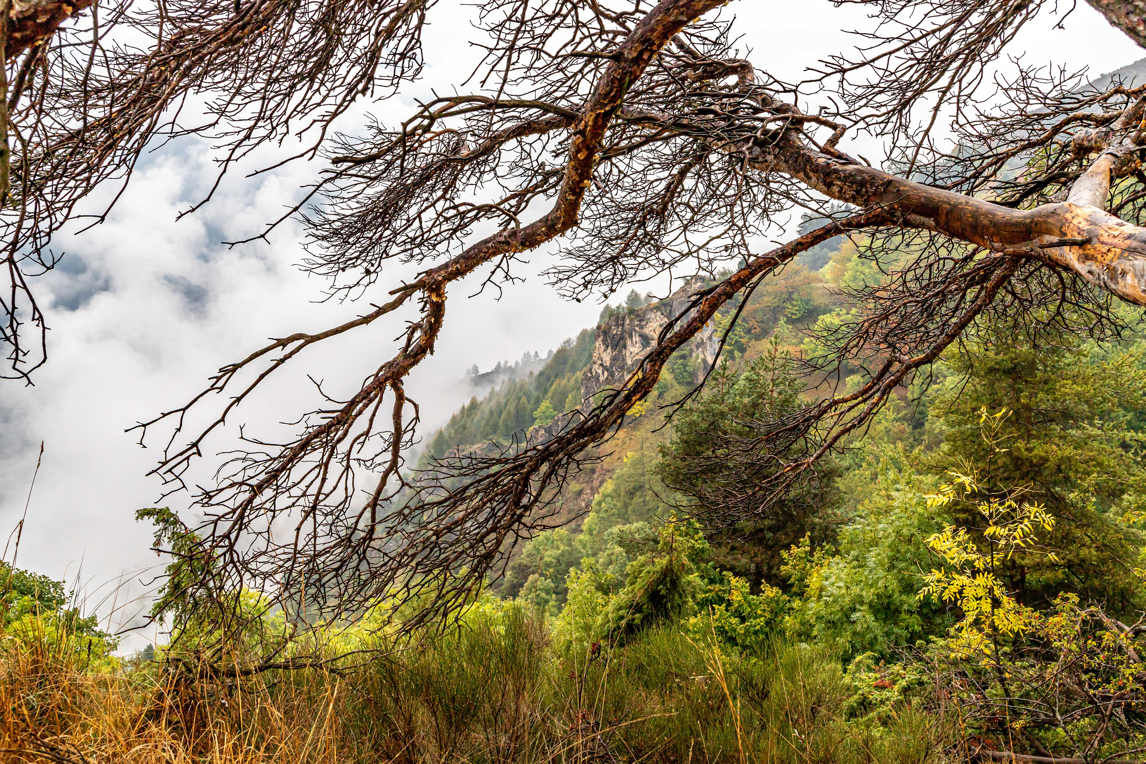
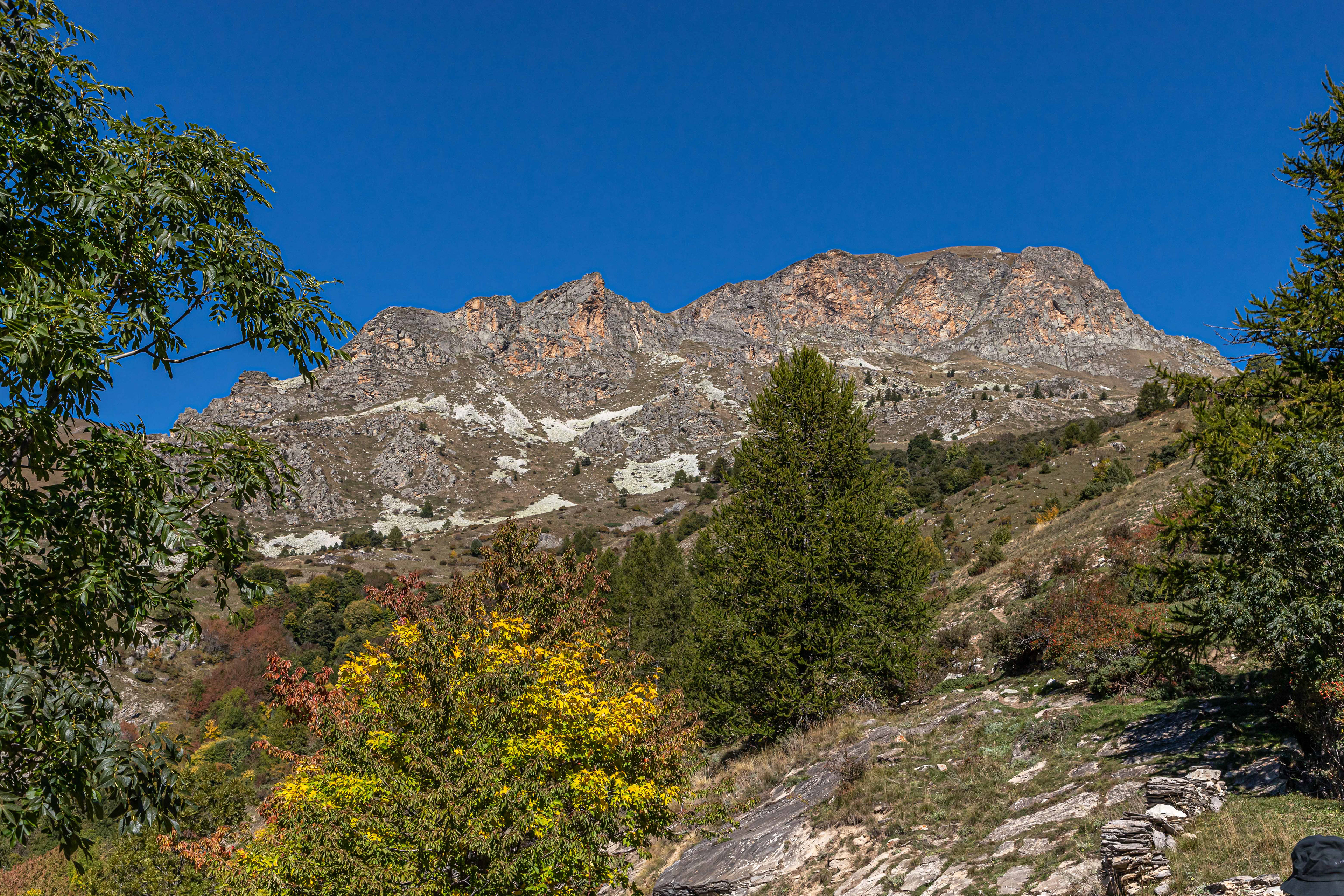
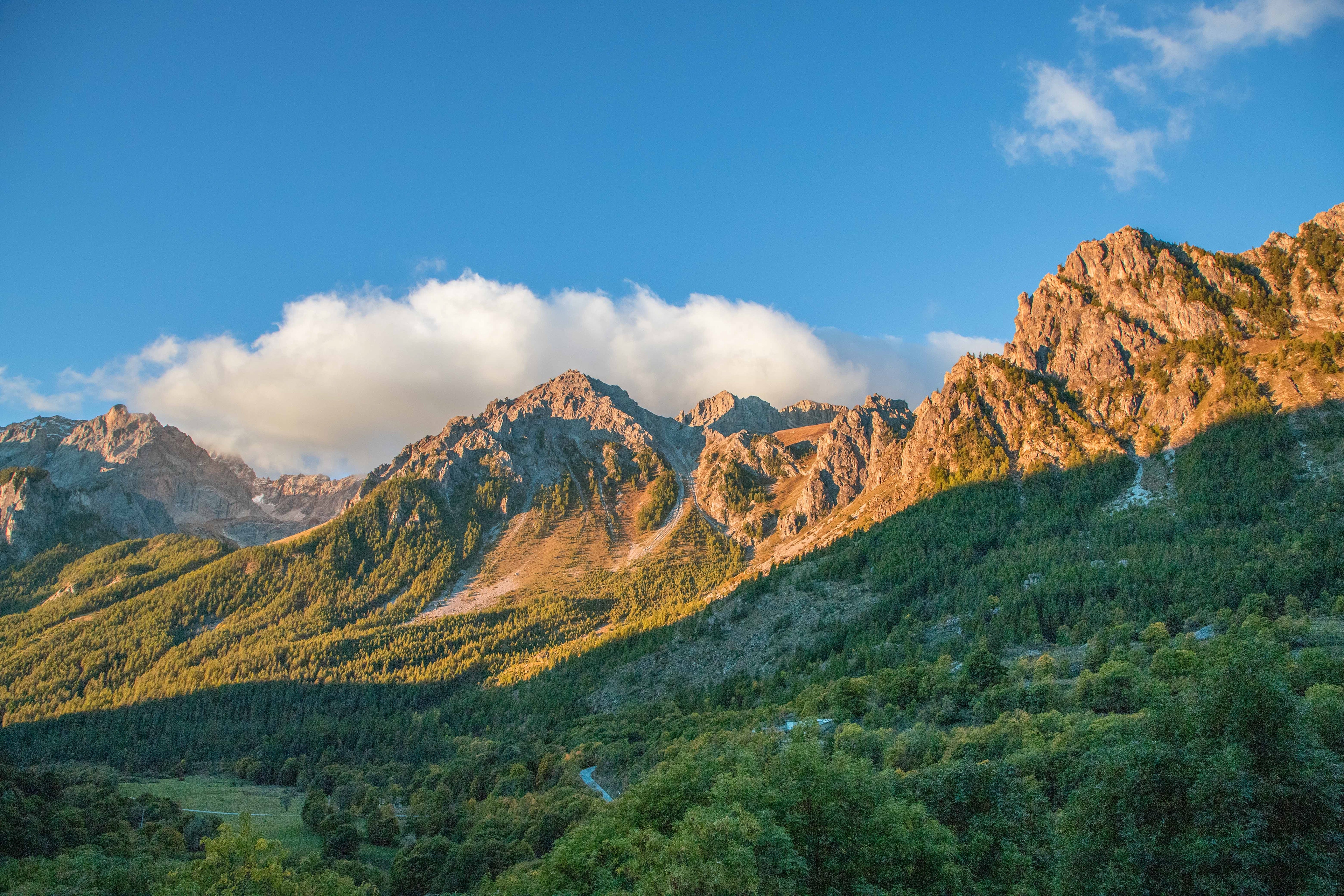
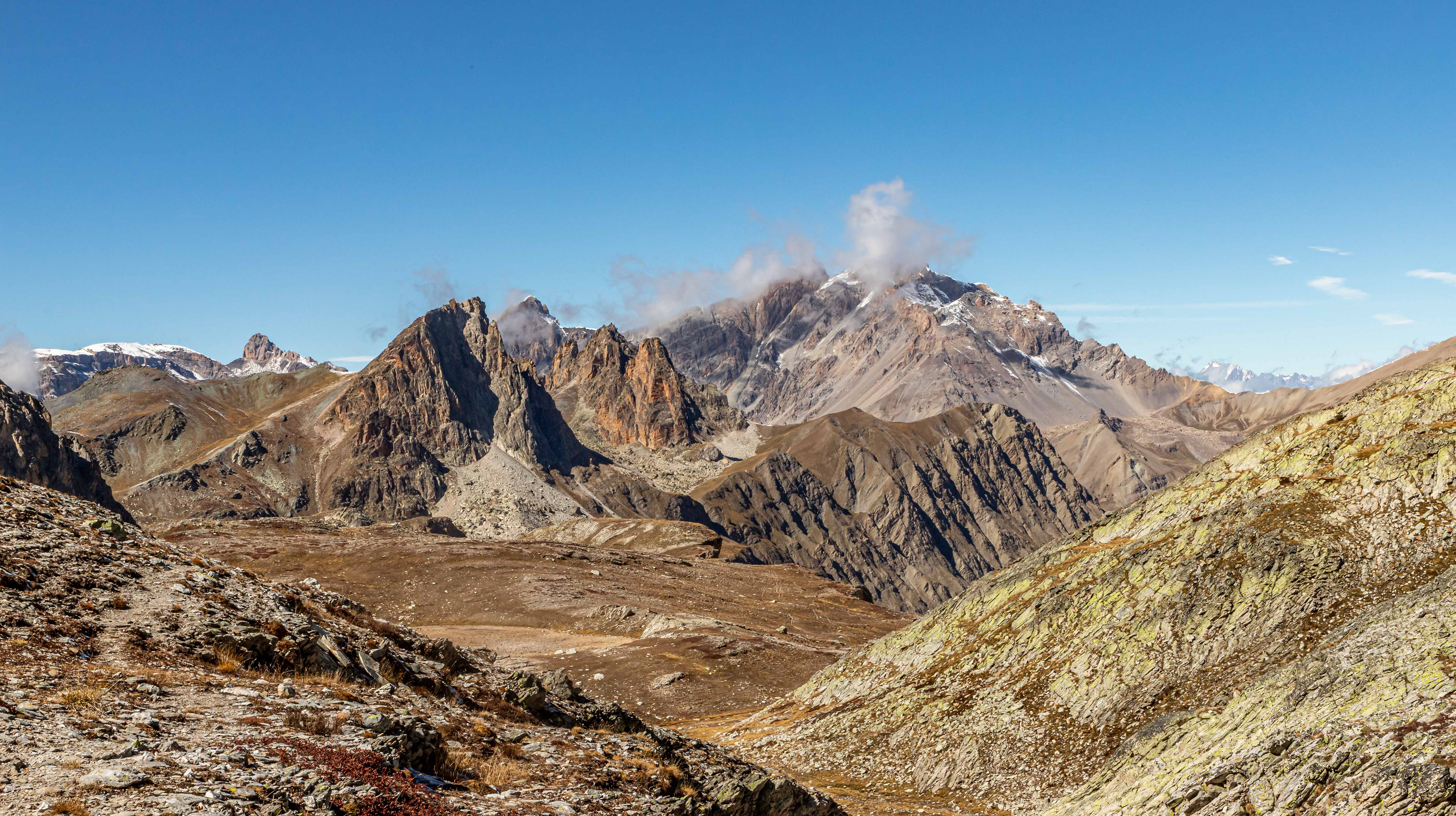
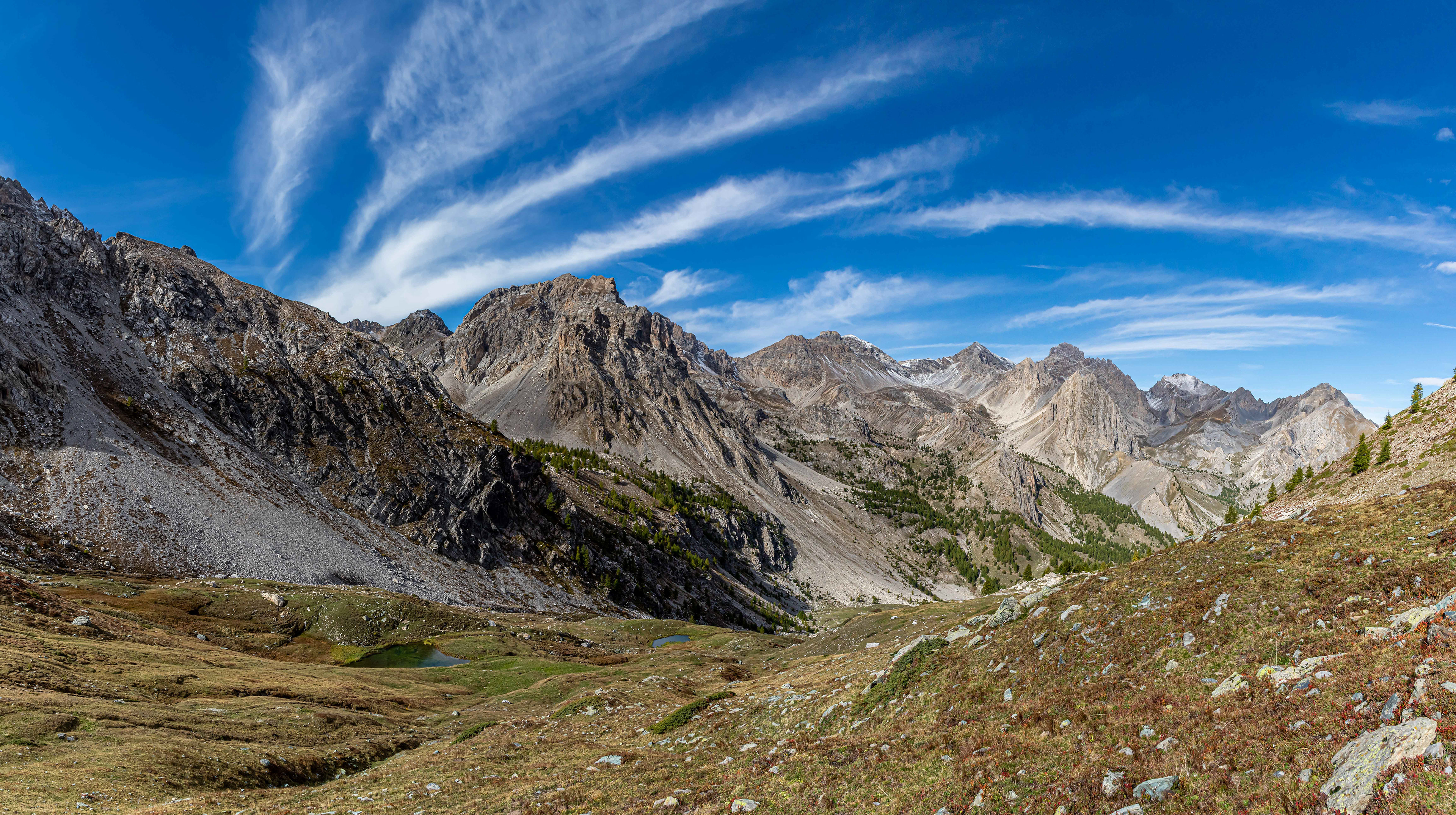
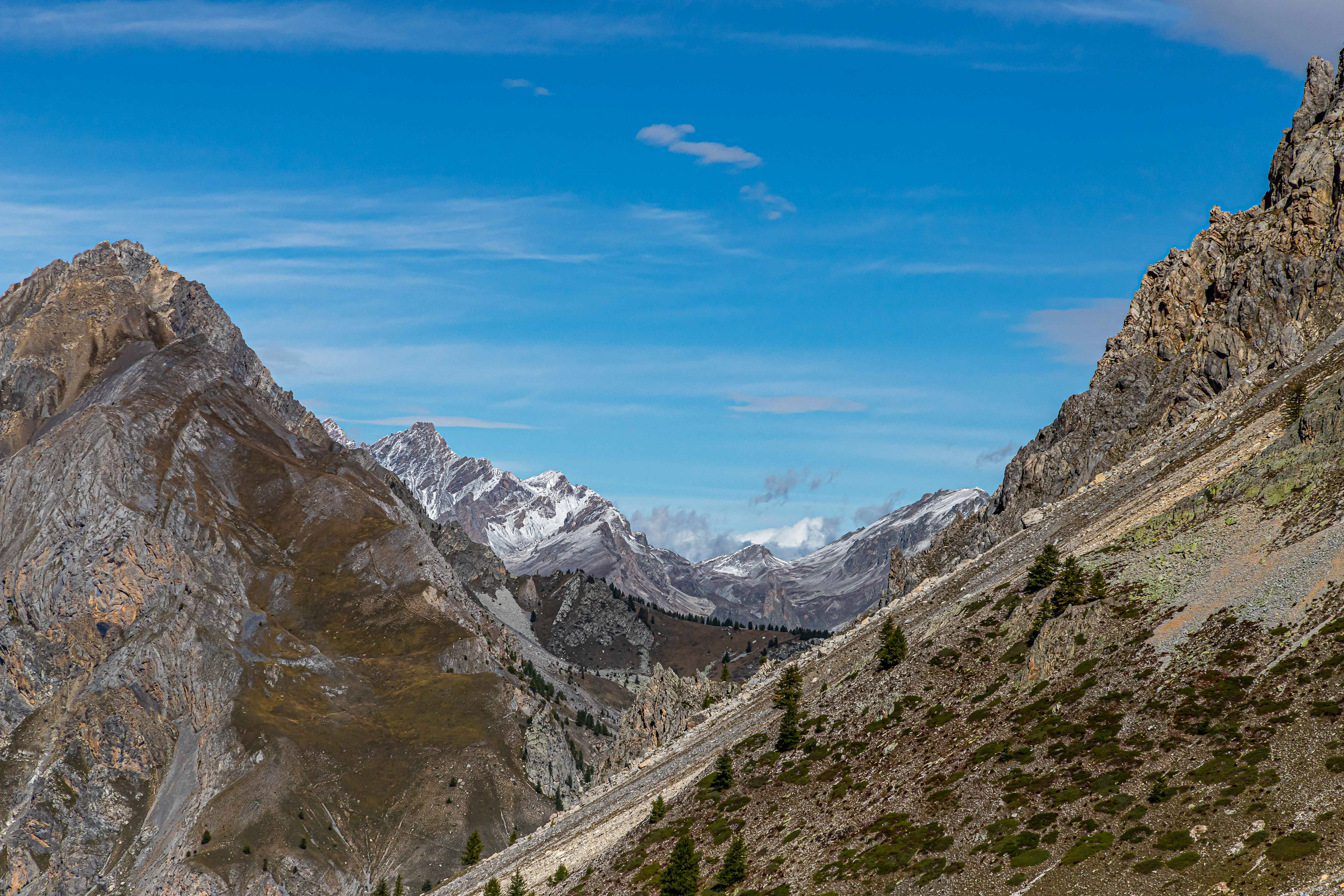
Glimpses of the Elva Valley.
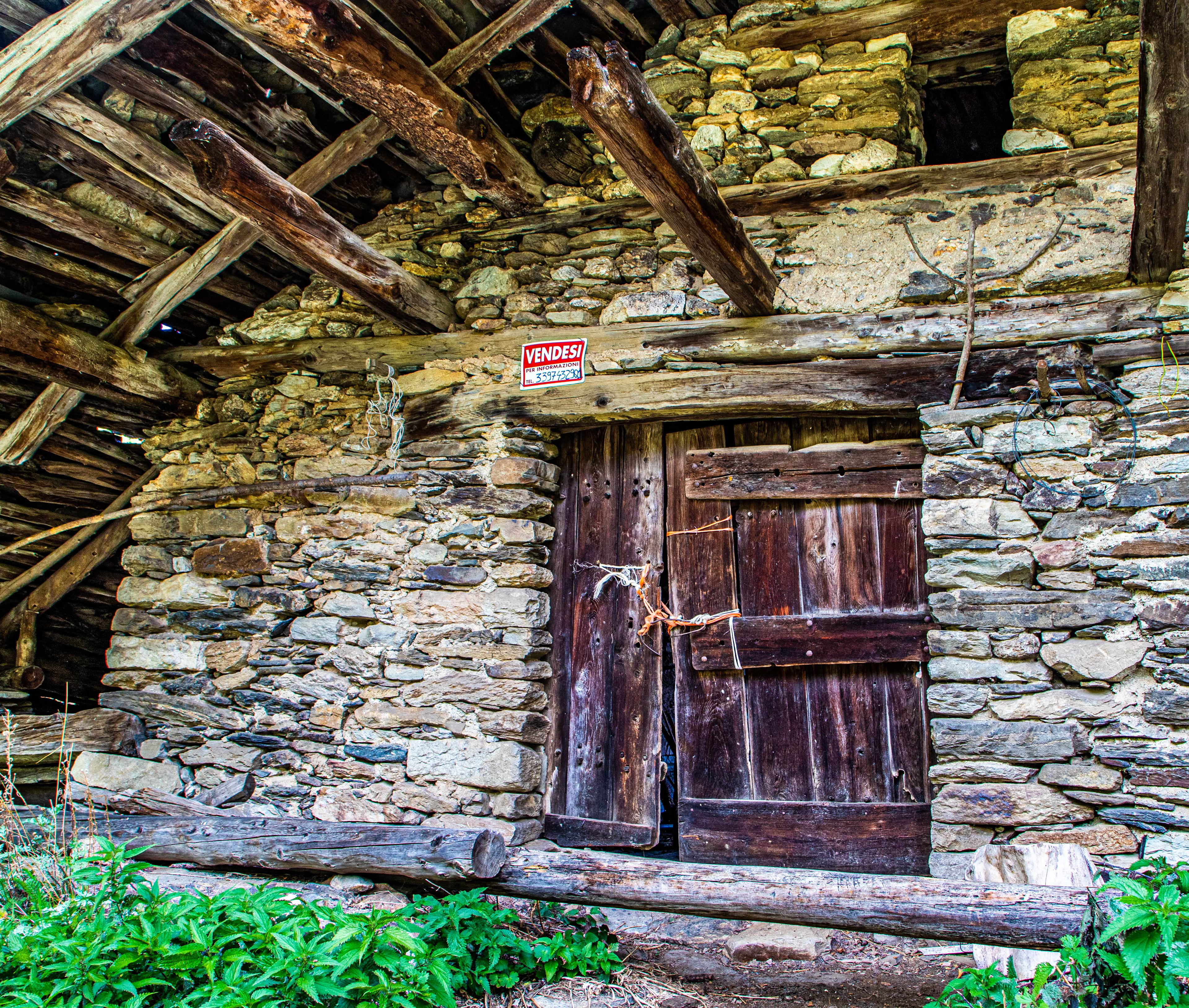
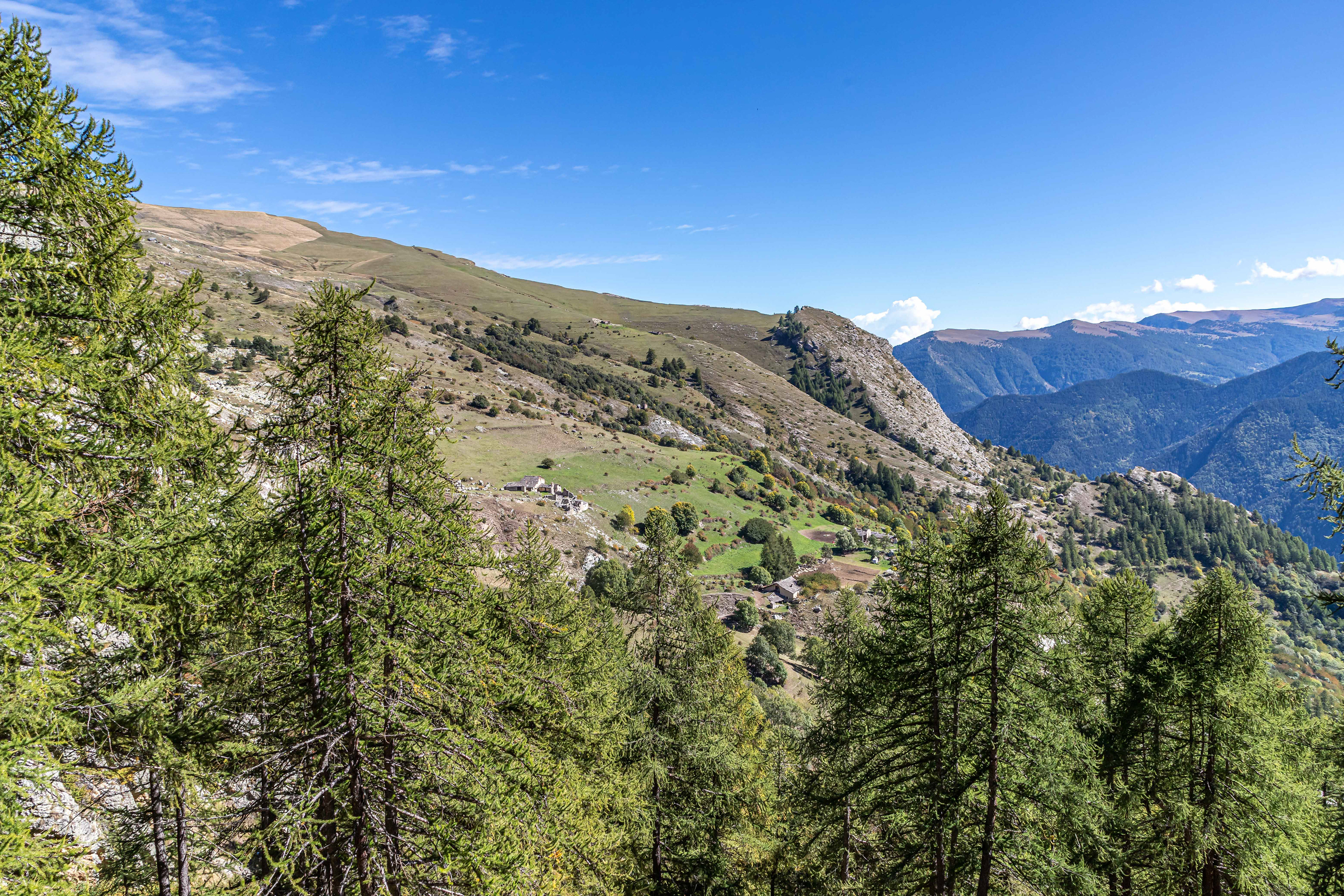
The crumbling village of Chiasso Superiore at the entrance to the Elva Valley.

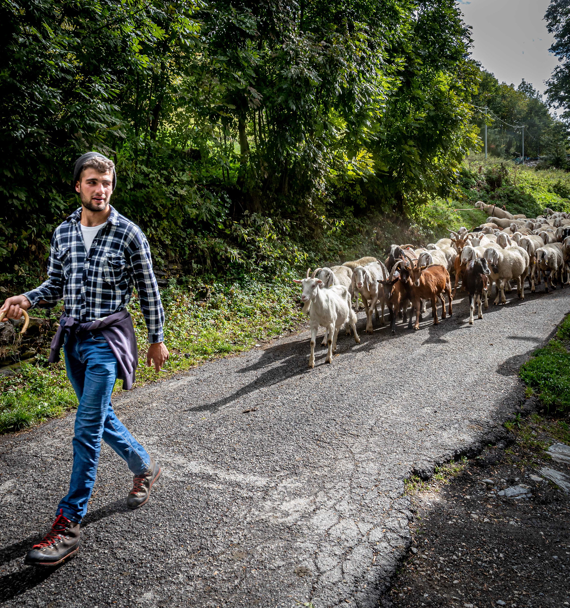
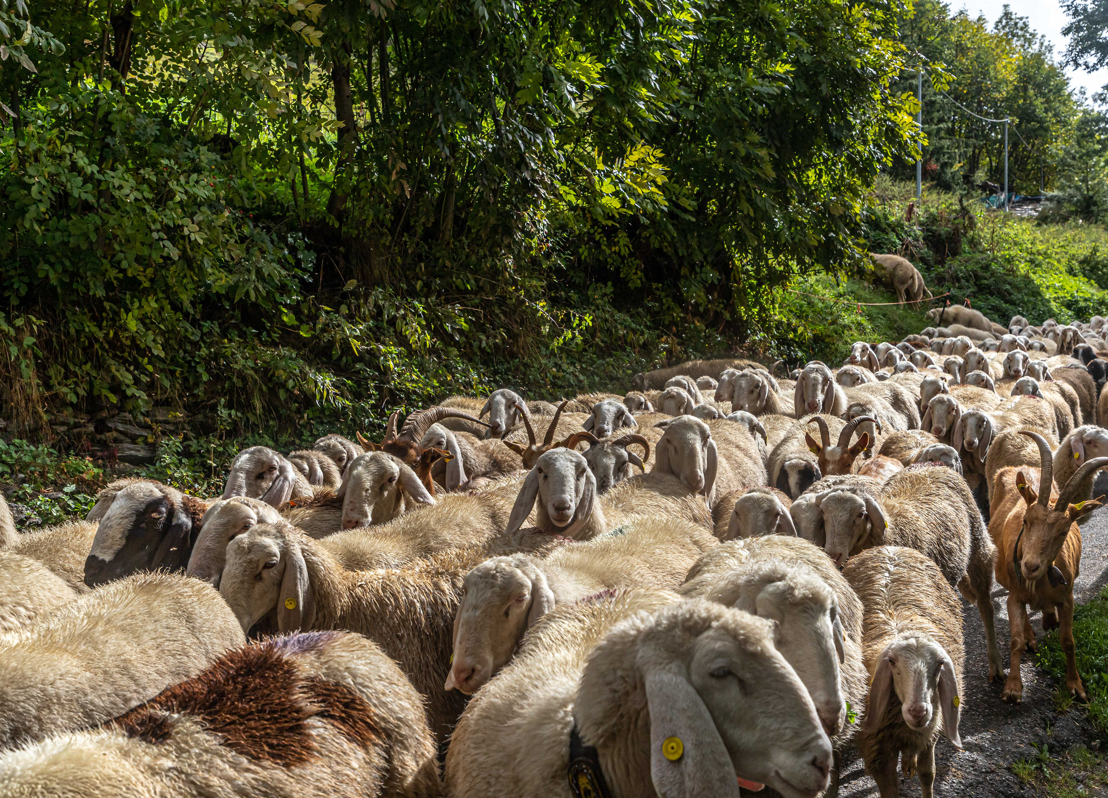
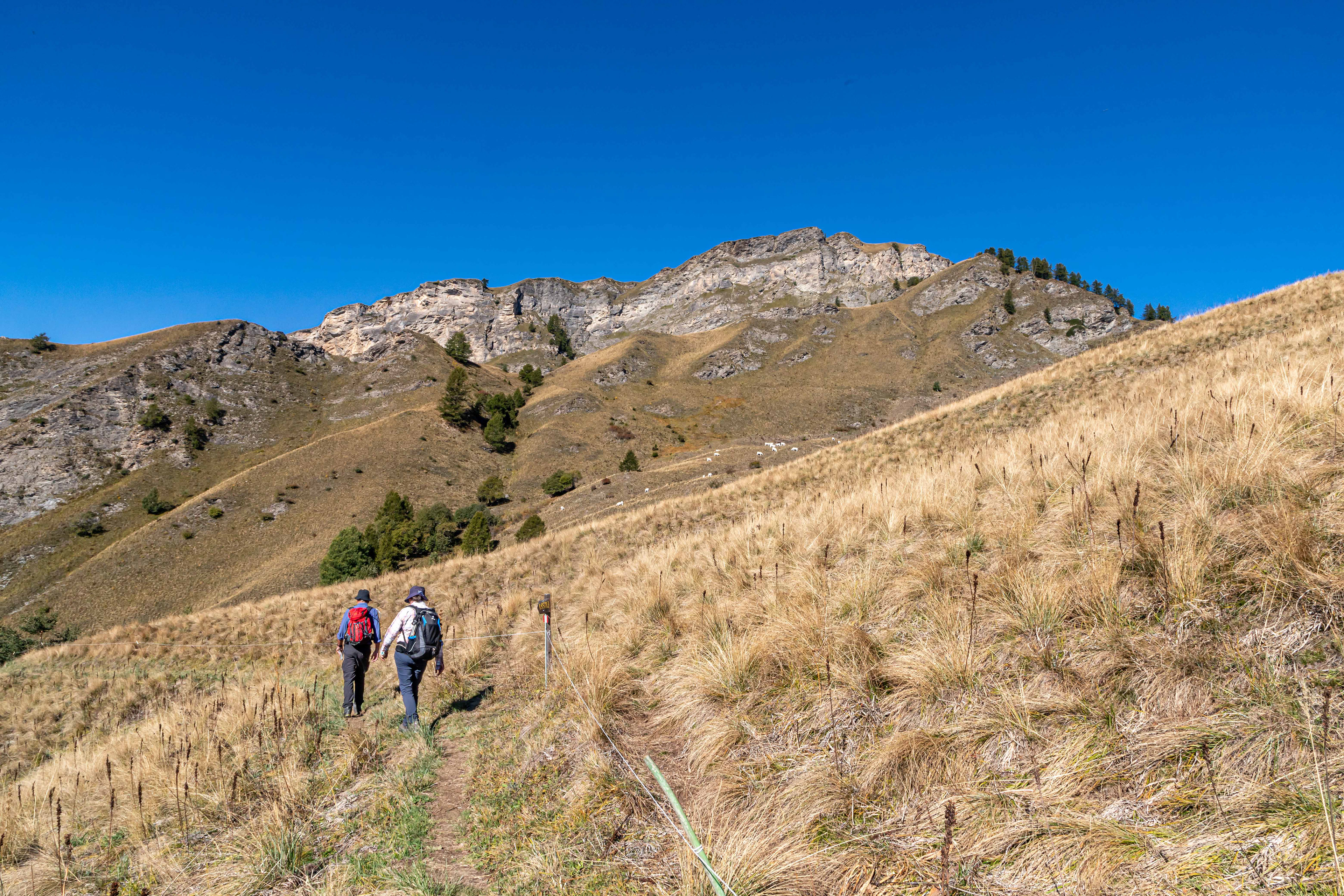
On the way to the vilage of Elva the road was blocked by a shepherd moving his flock of sheep and goats from the high country down into the valleys before winter. It was quite an evocitive scene with the shepherd leading the way and followed by his large white guard dogs (not shown), and the flock which was being herded and kept in check from the rear by a number of small and yappy dogs. In later days we saw also the movement of cattle down into the valleys.
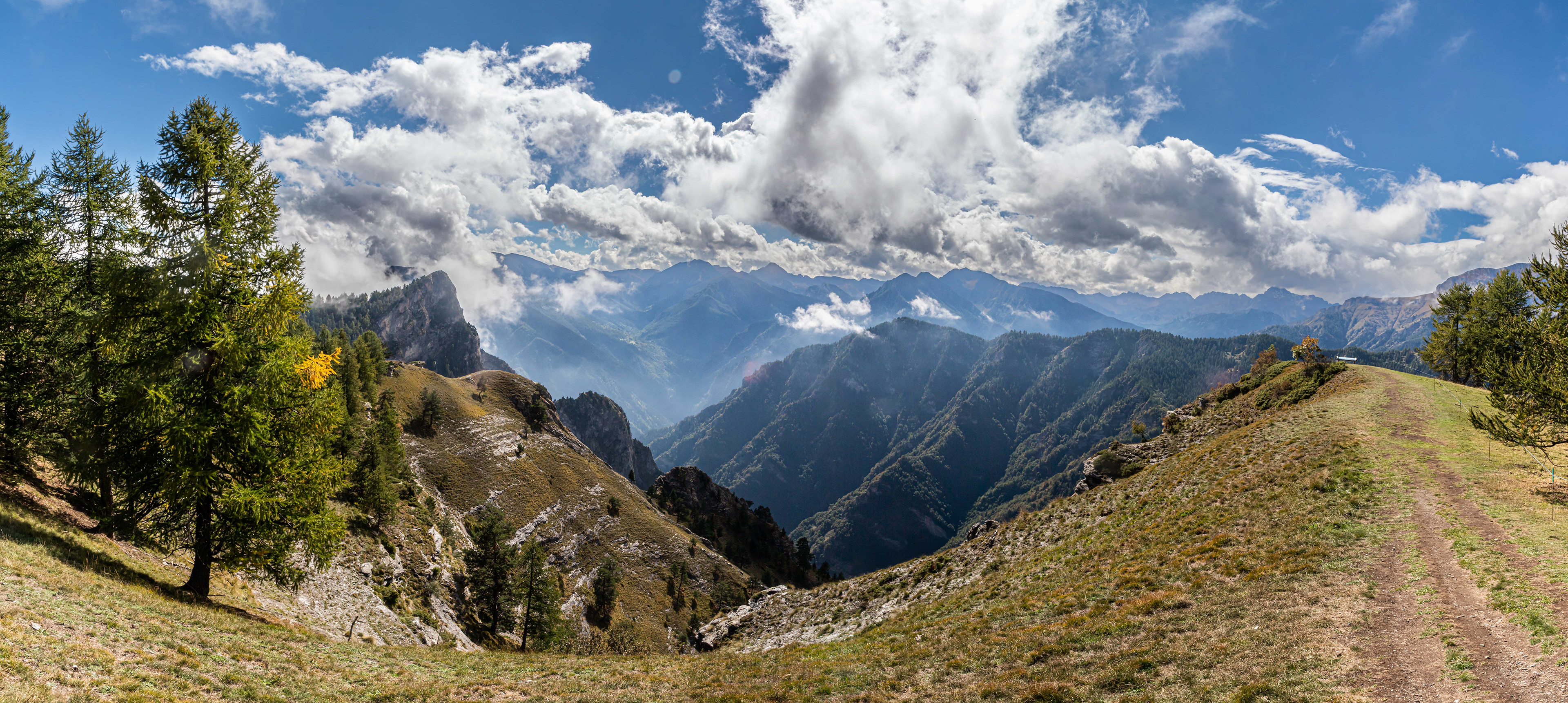
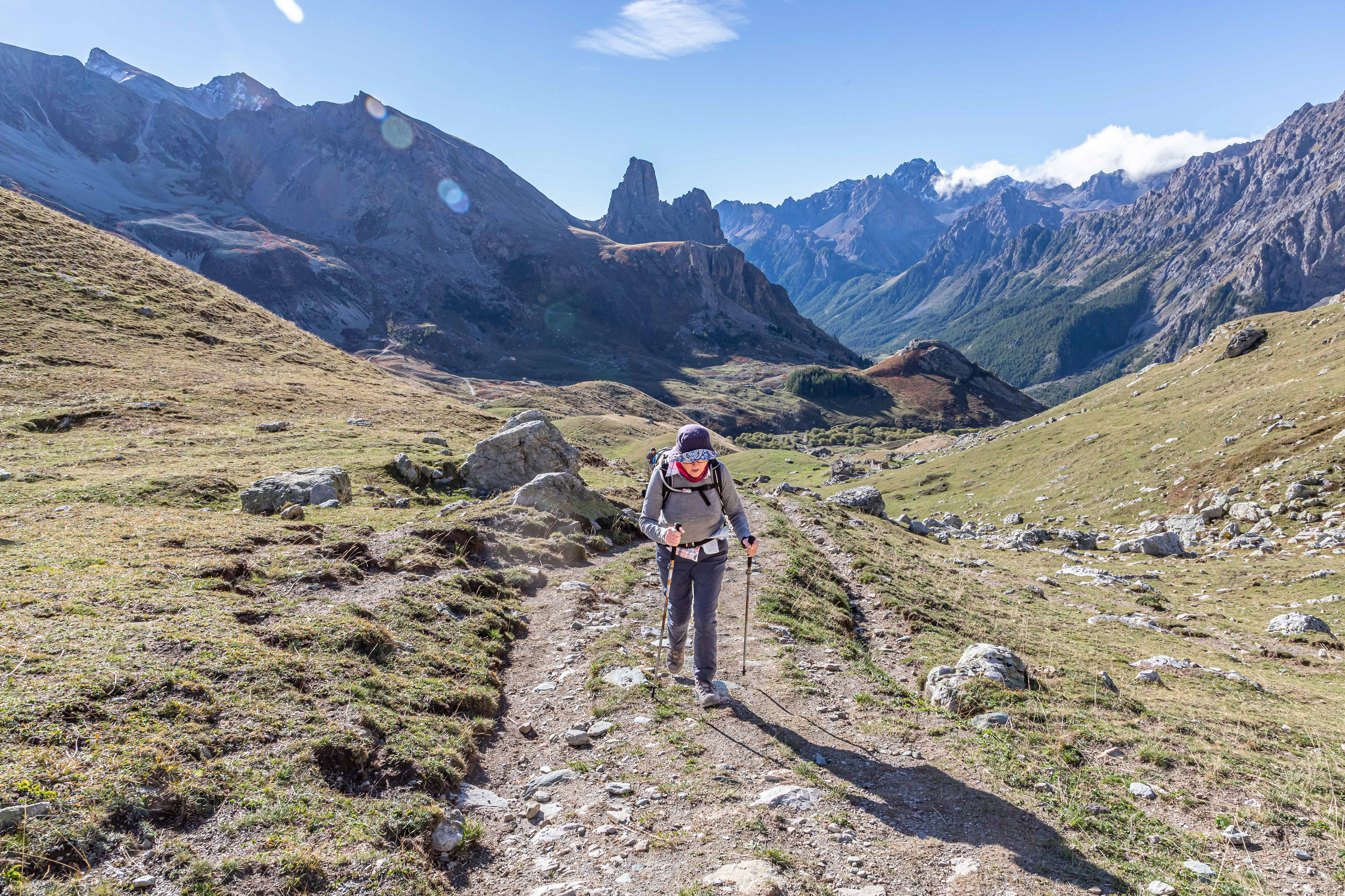
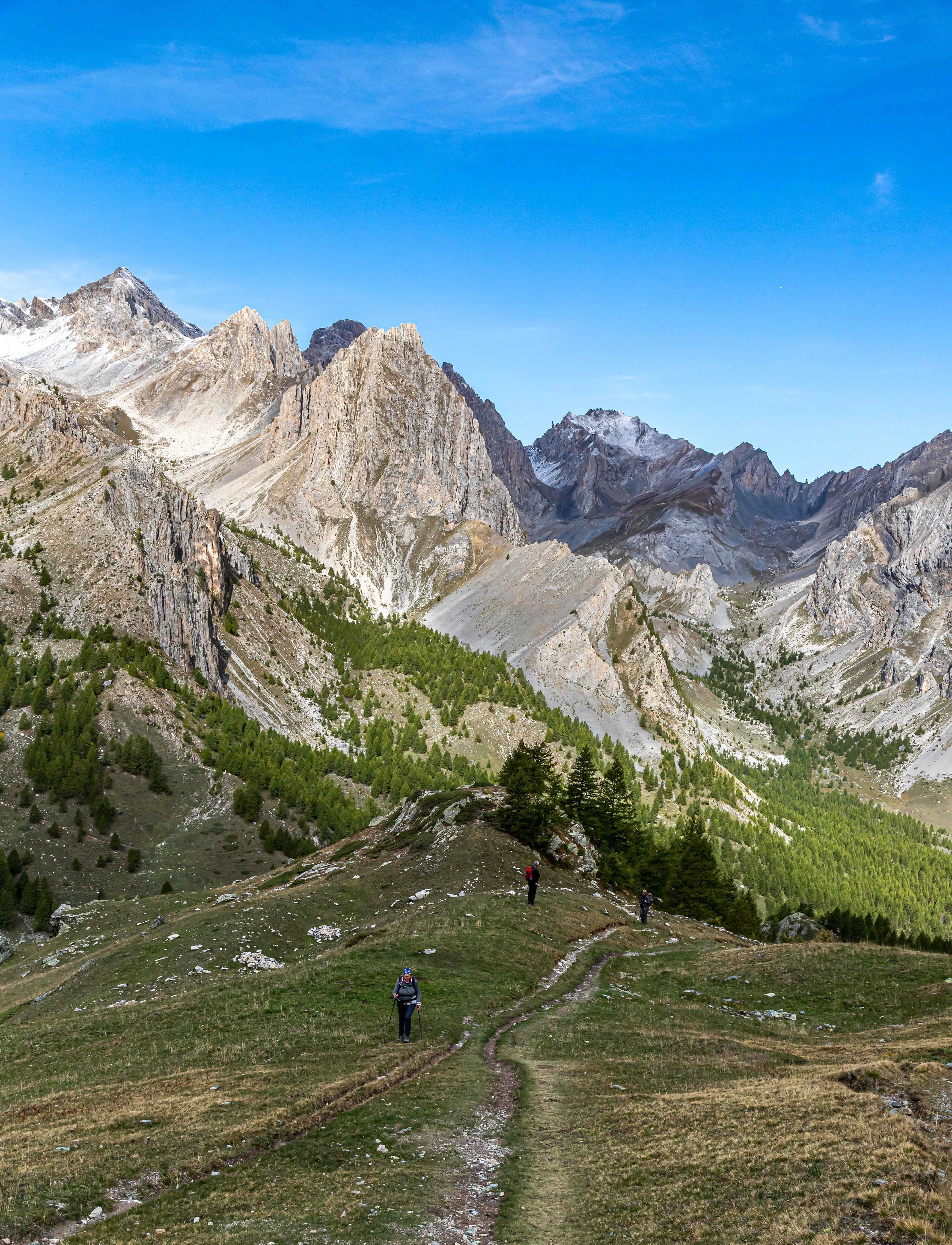
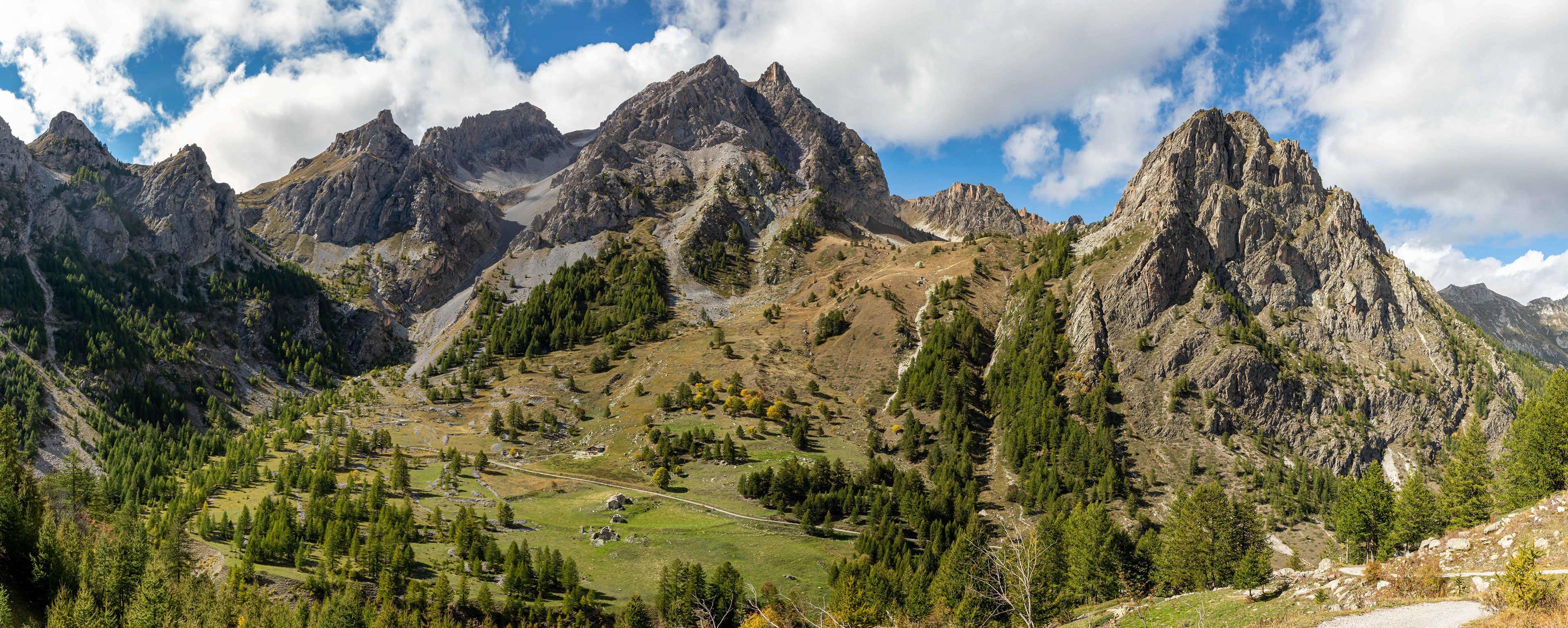
After lunch and a coffee in the village of Elva we started the long, but very pleasant, incline through the forests and meadows to reach the Col San Giovanni at a height of 1870 m. What a stupendous view.

It was all down hill from there to the village of San Martin where we we caught a bus back to Allemandi. A very enjoyable day.
Final farewell to Chersogno as we head out to the town of Acceglio and a bus to our next accomodation at Chiappera.
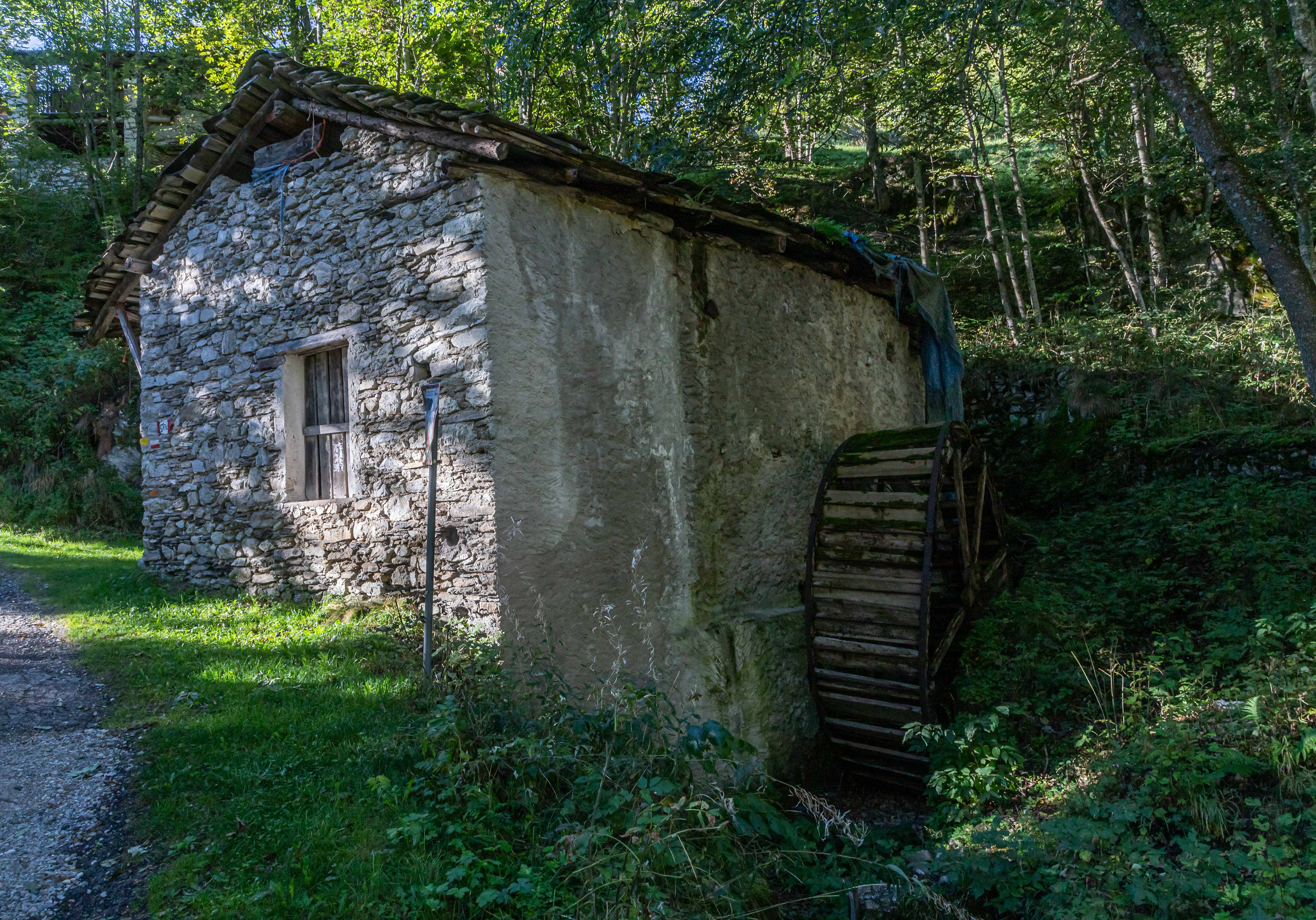
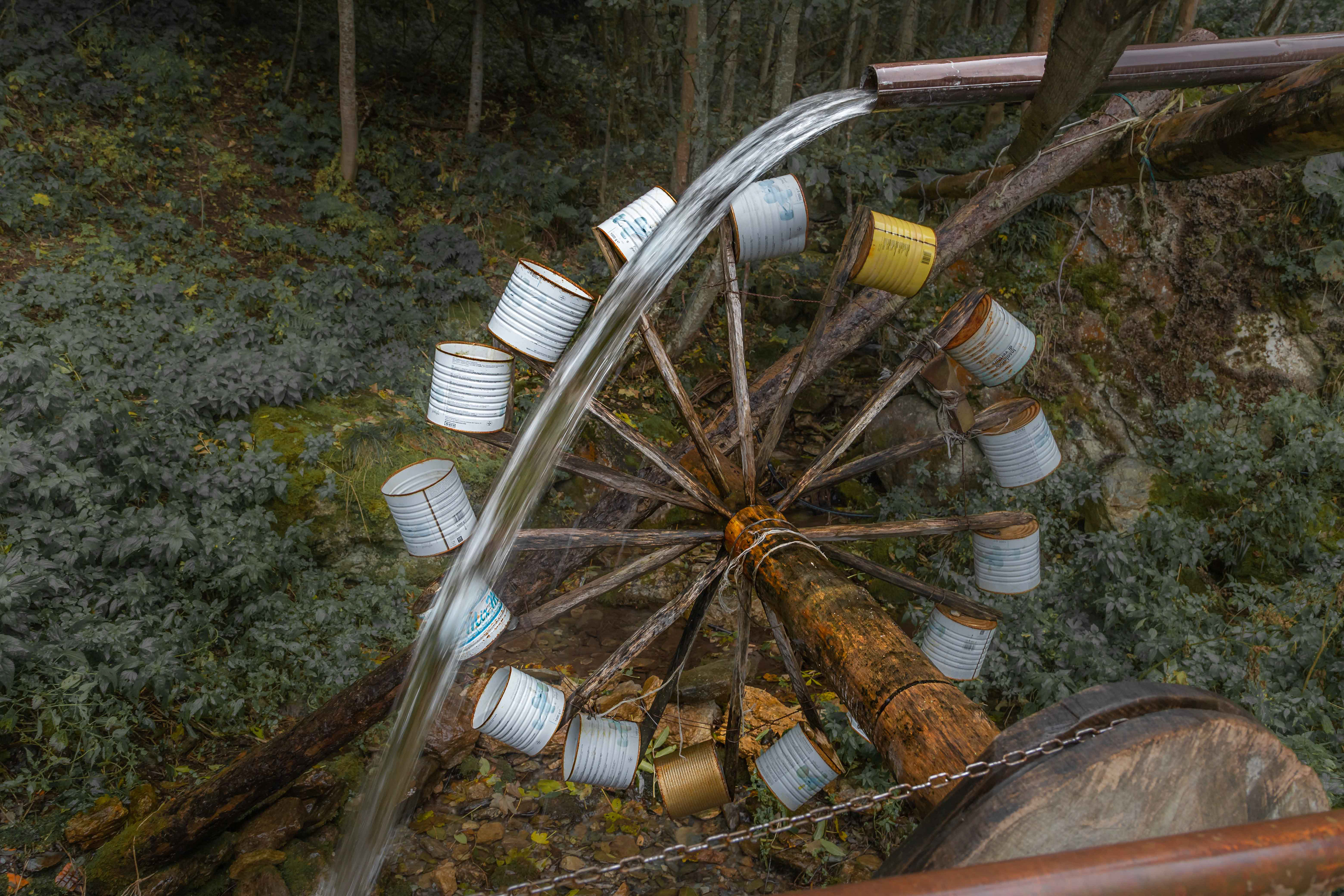
A water mill on the way.

We slowly climbed higher until we were above the tree line heading for Col Serrasin at 2040 m.
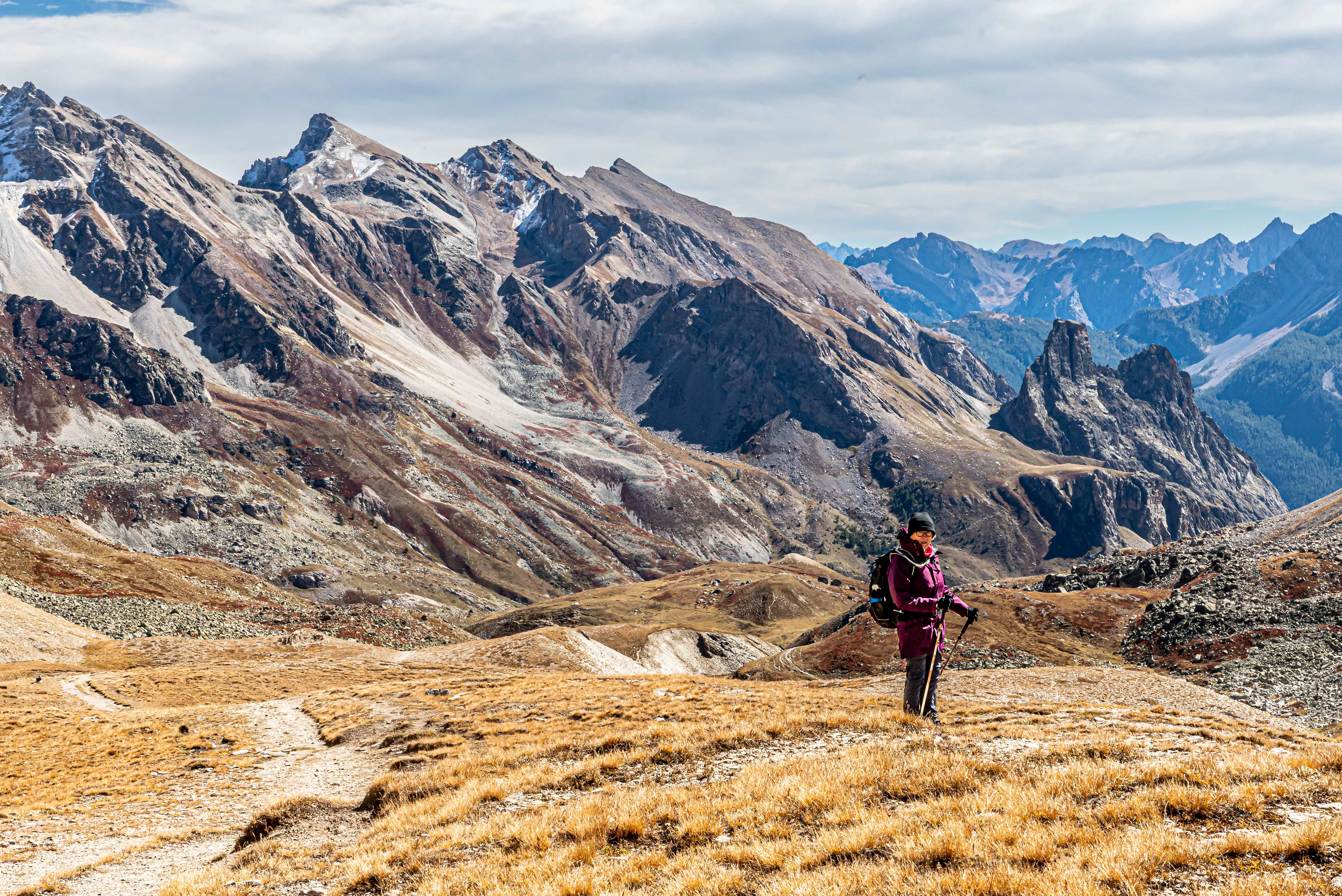
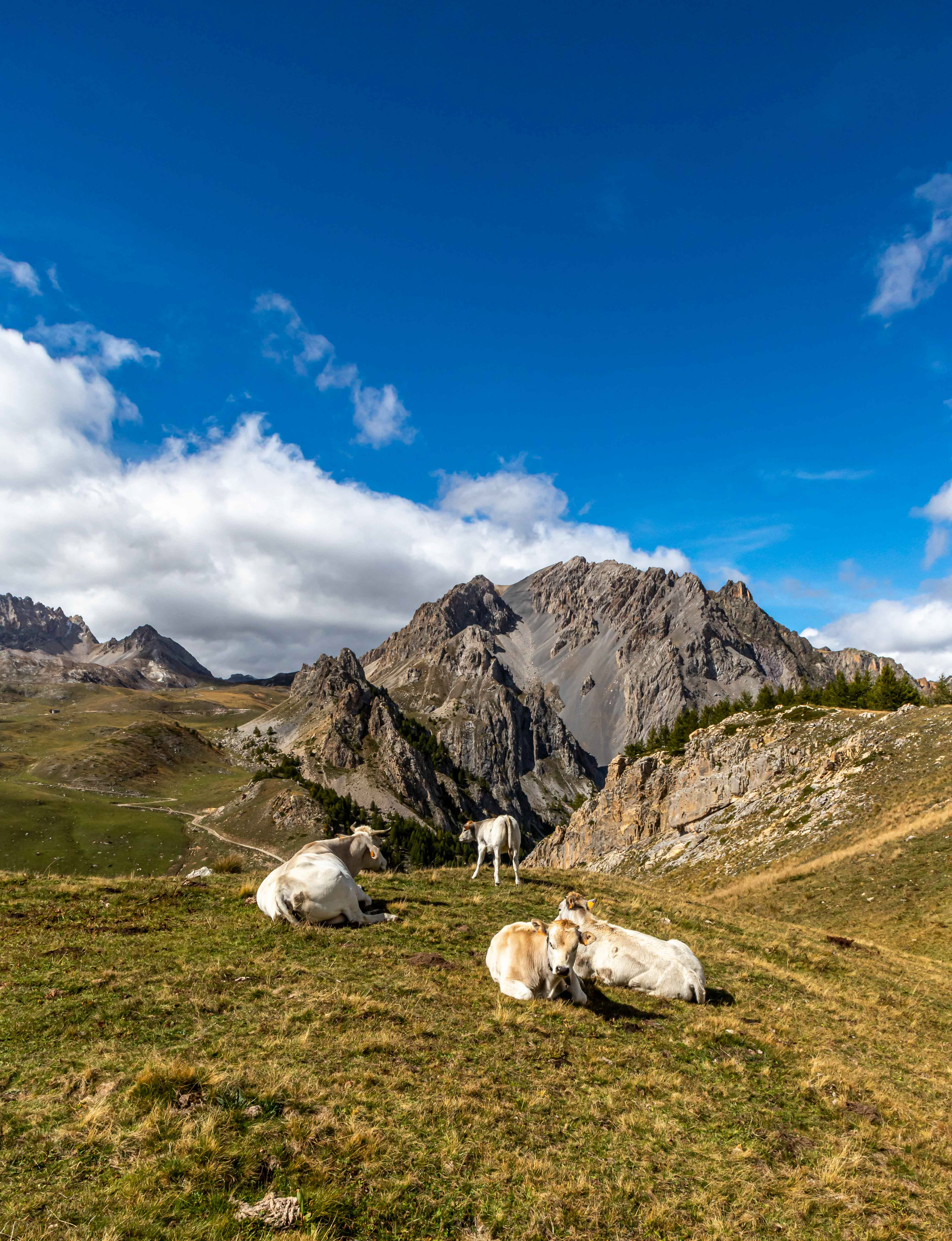
It was a nice change to be walking across the grasslands at around 2000 m.
Wild, beautiful and not another tourist to be seen.

The cow bells lined up on the wall of a farm house in the mountains. It could be assumed that the bells would be worn by the cattle as they moved down into the valleys for winter. The cacophany of sound created by the cattle as they walked would have been amazing.


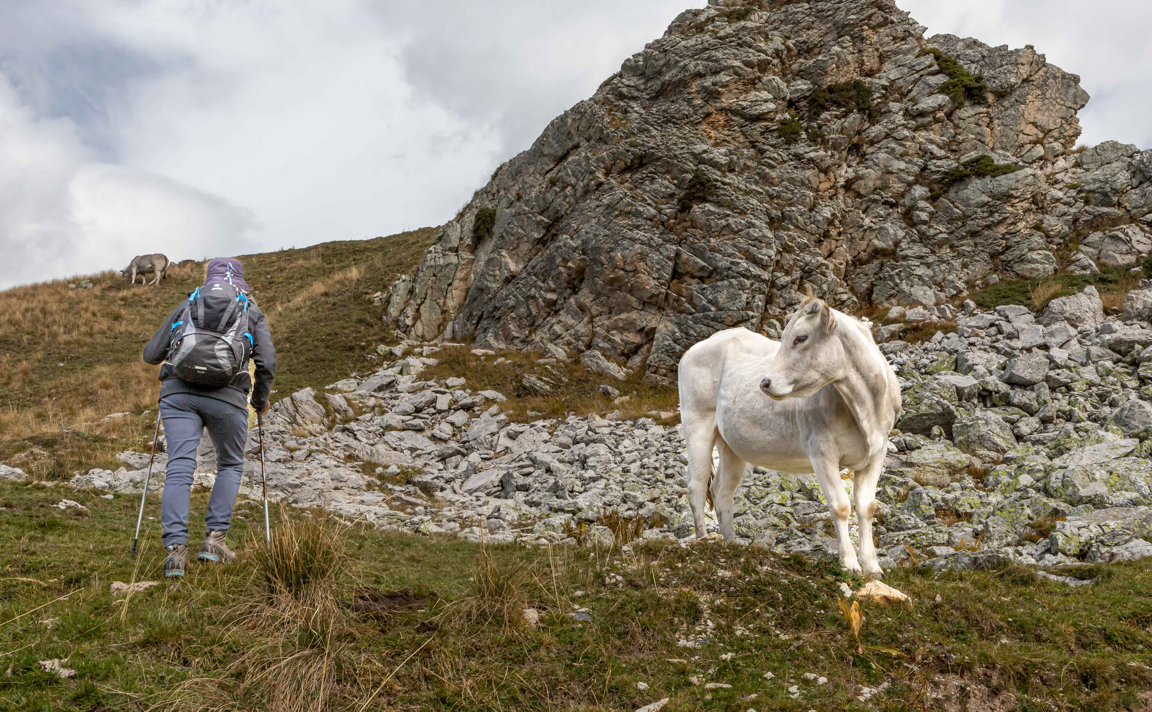
These guys were penned at close to 2000 m elevation, presumably they would be moved into the valleys for winter.
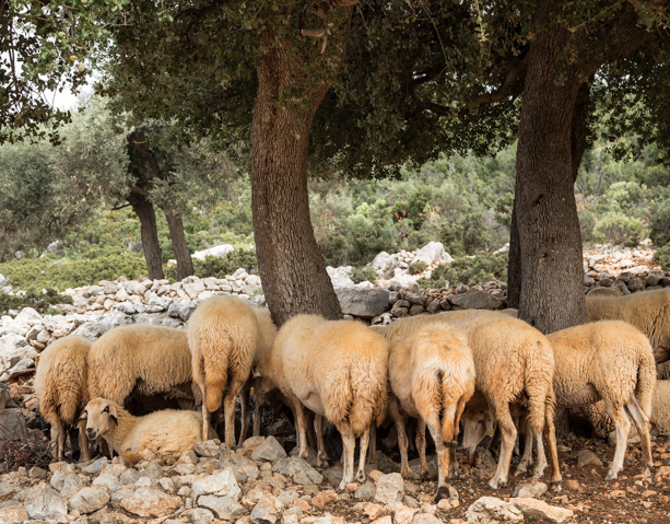
Alpine sheep farm.

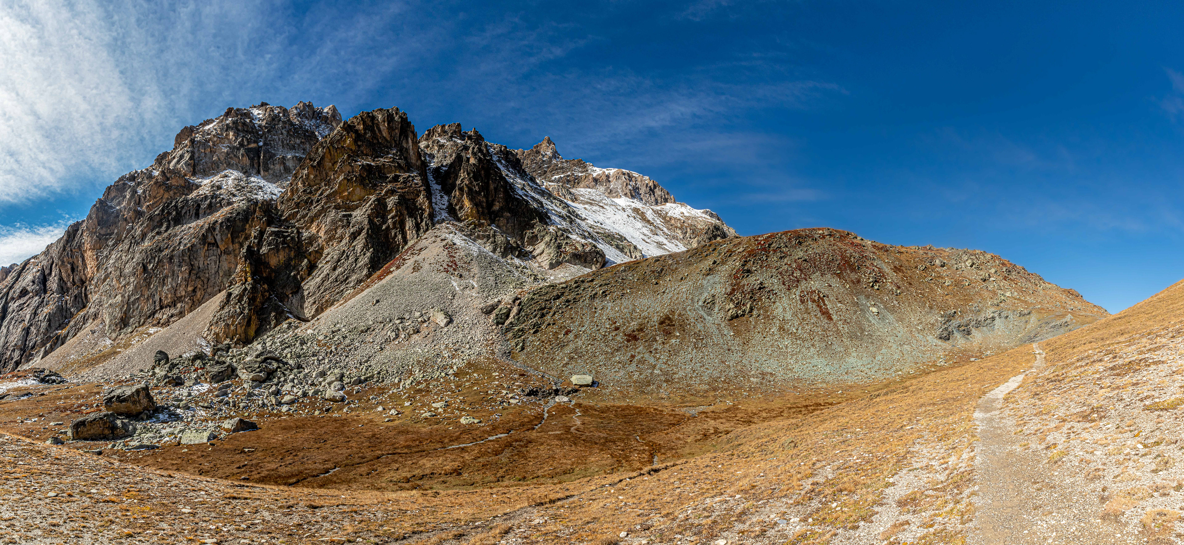
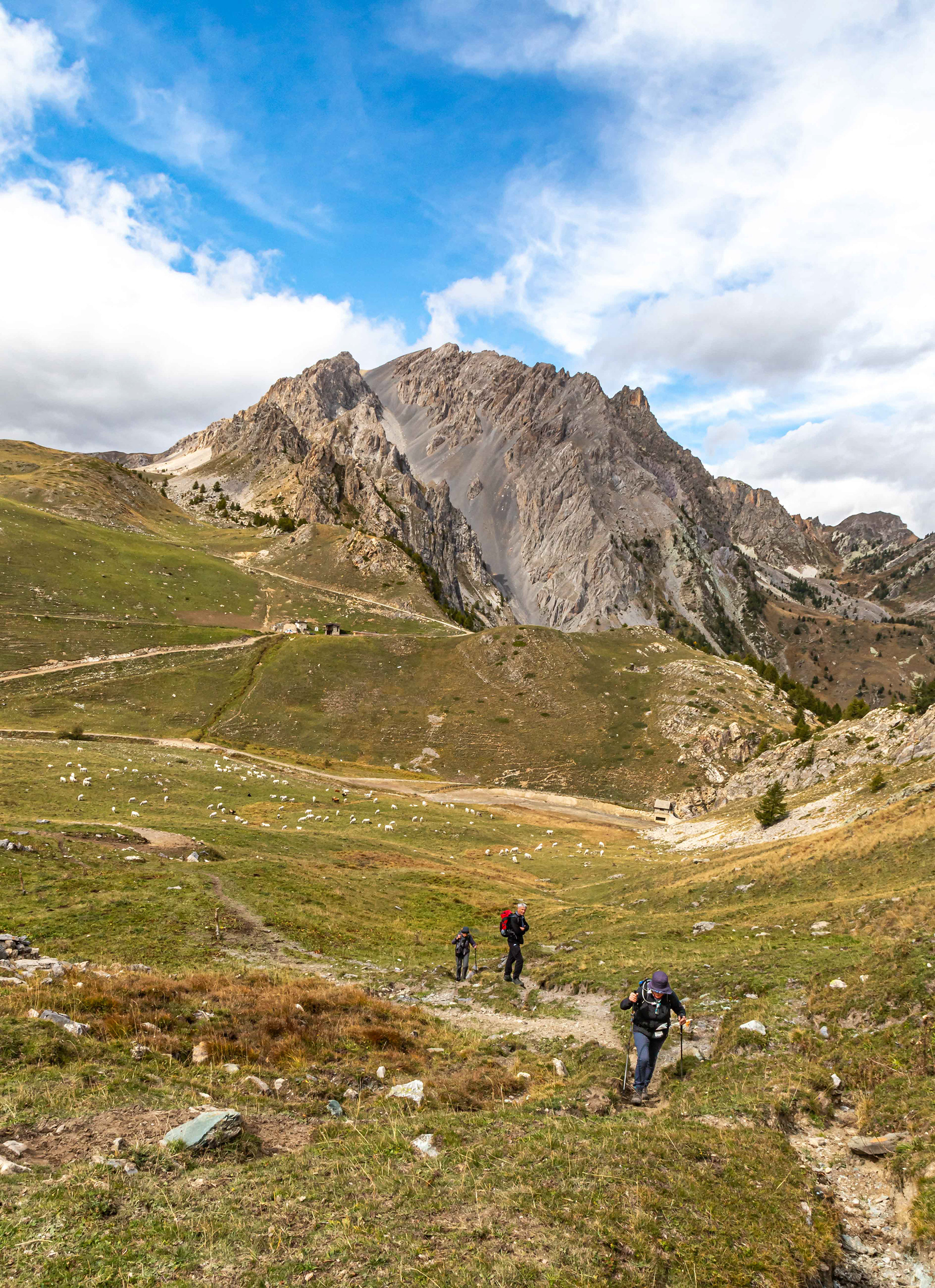
While the Col Serasin was only at an elevation of 2040 m. it was a challenging walk.
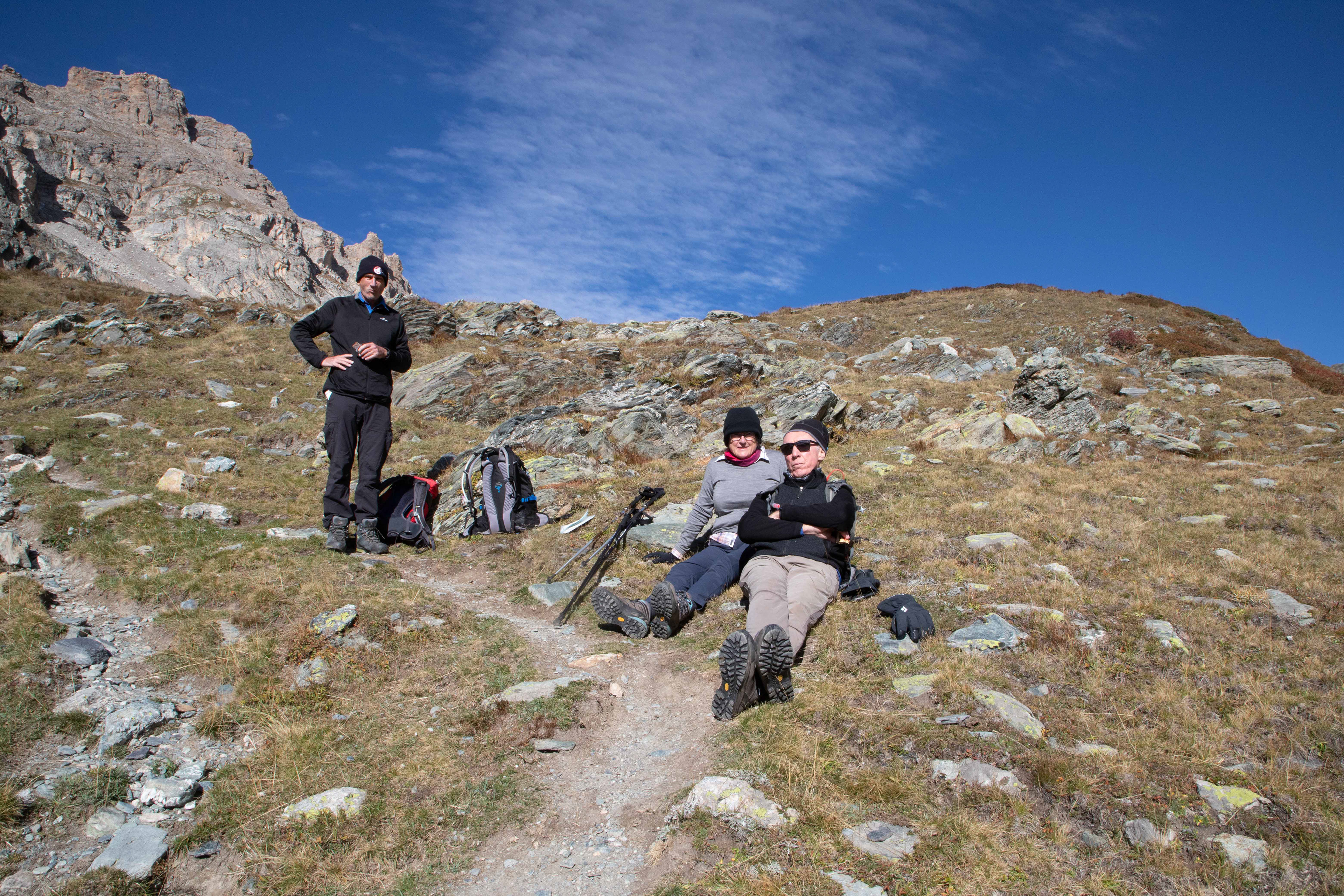
Lunch and a rest in the sun.

Col Serasin (2040 m).

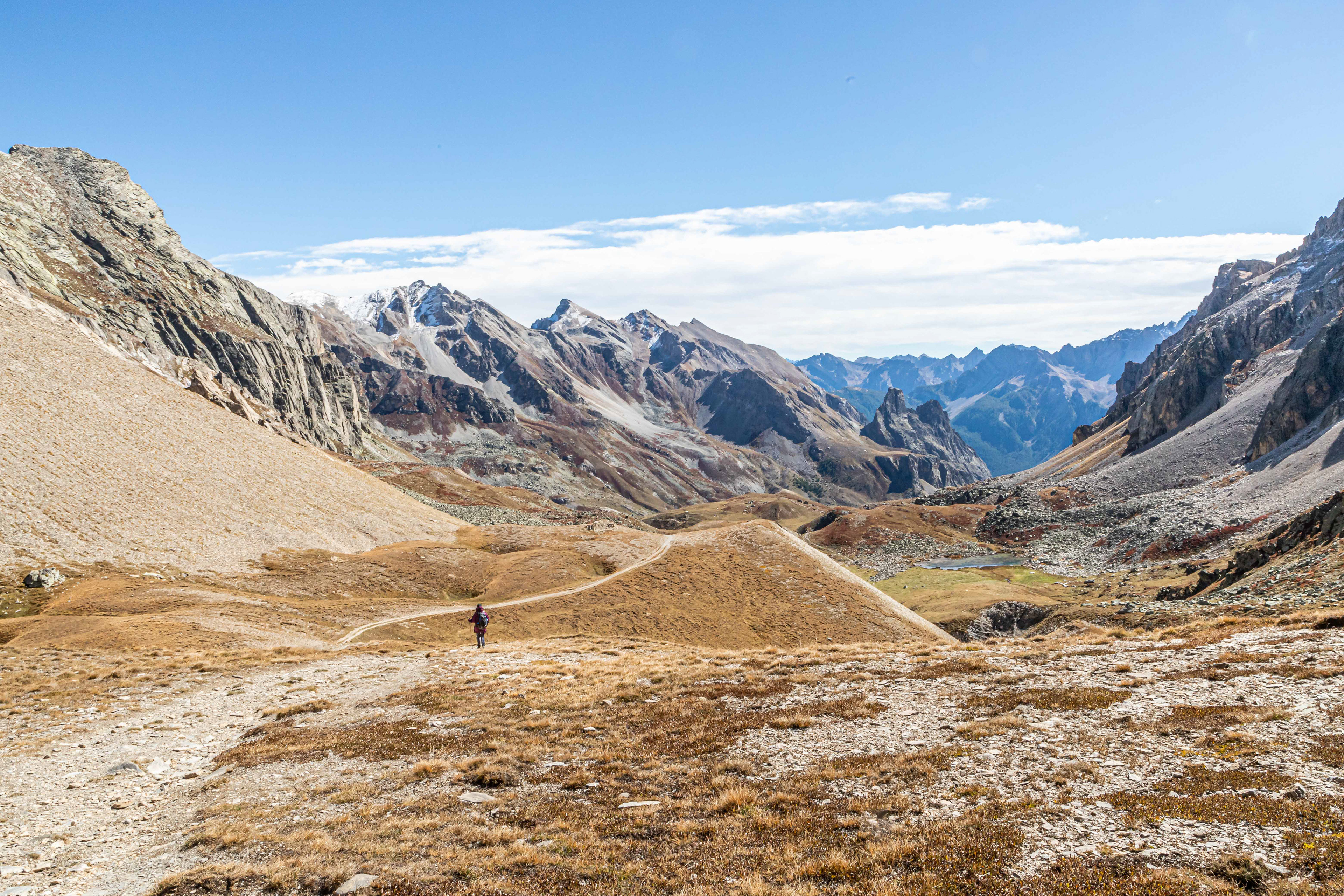
The long way down to Acceglio in the bottom of the valley.
The view of Acceglio did not appear to change much as we negotiated the zig zag path down the slope in the hot afternoon sun. The carrot to keep us going was the Acceglio gelato shop that was promised in the walking notes. Disappointgly, we found that the bar and ice cream shop were both closed. The silver lining was the arrival of the bus an hour earlier than expected which took us to Chiappera, our next accommodation at the end of the valley.

The old Chiappera school house had been re-purposed into a refugio and renamed, La Scoula. This was our base for the next 3 days. The owners were friendly and the food excellent.
Not a bad bedroom view.
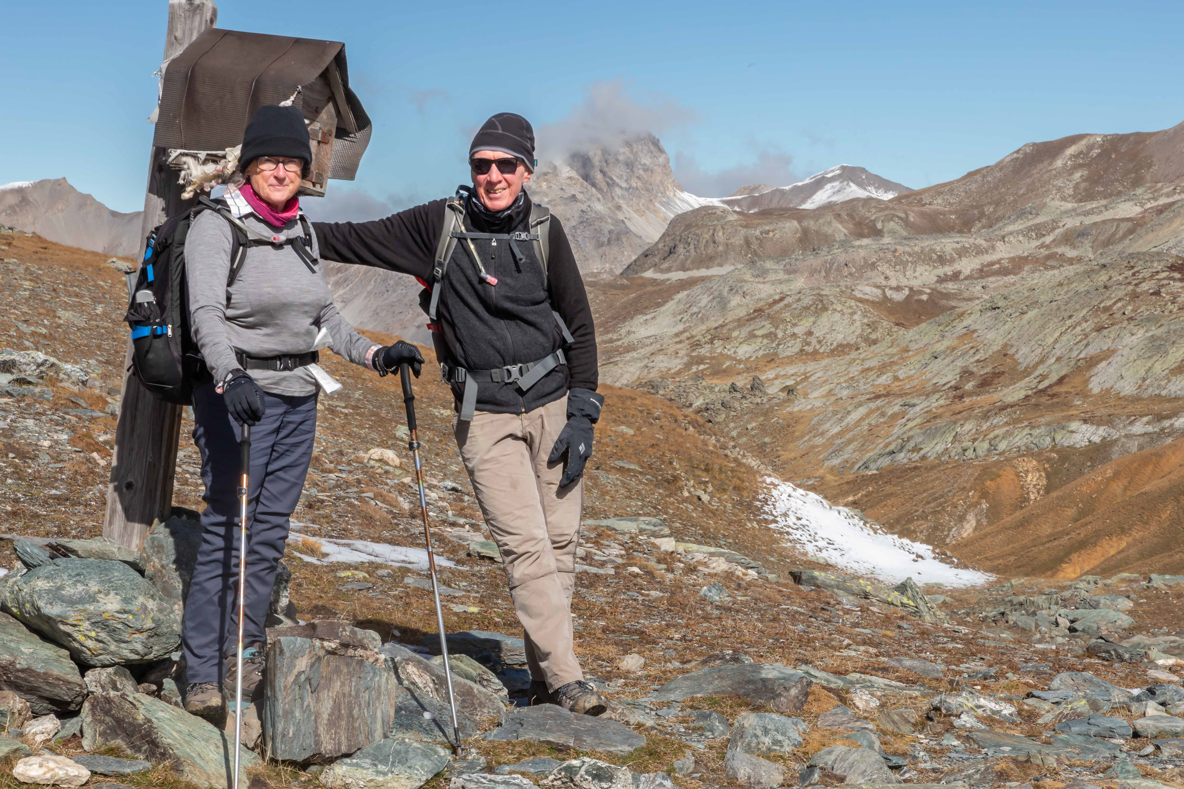
Heading up the Valle del Maurin towards Col de Maurin. It was a steady uphill walk for around 8 or 9 km. The views were stunning. There was a constant head wind the whole way and while we started the walk wearing a light jumper, by the time we reached the col we had donned windproof gear including gloves, scarf and beanie.
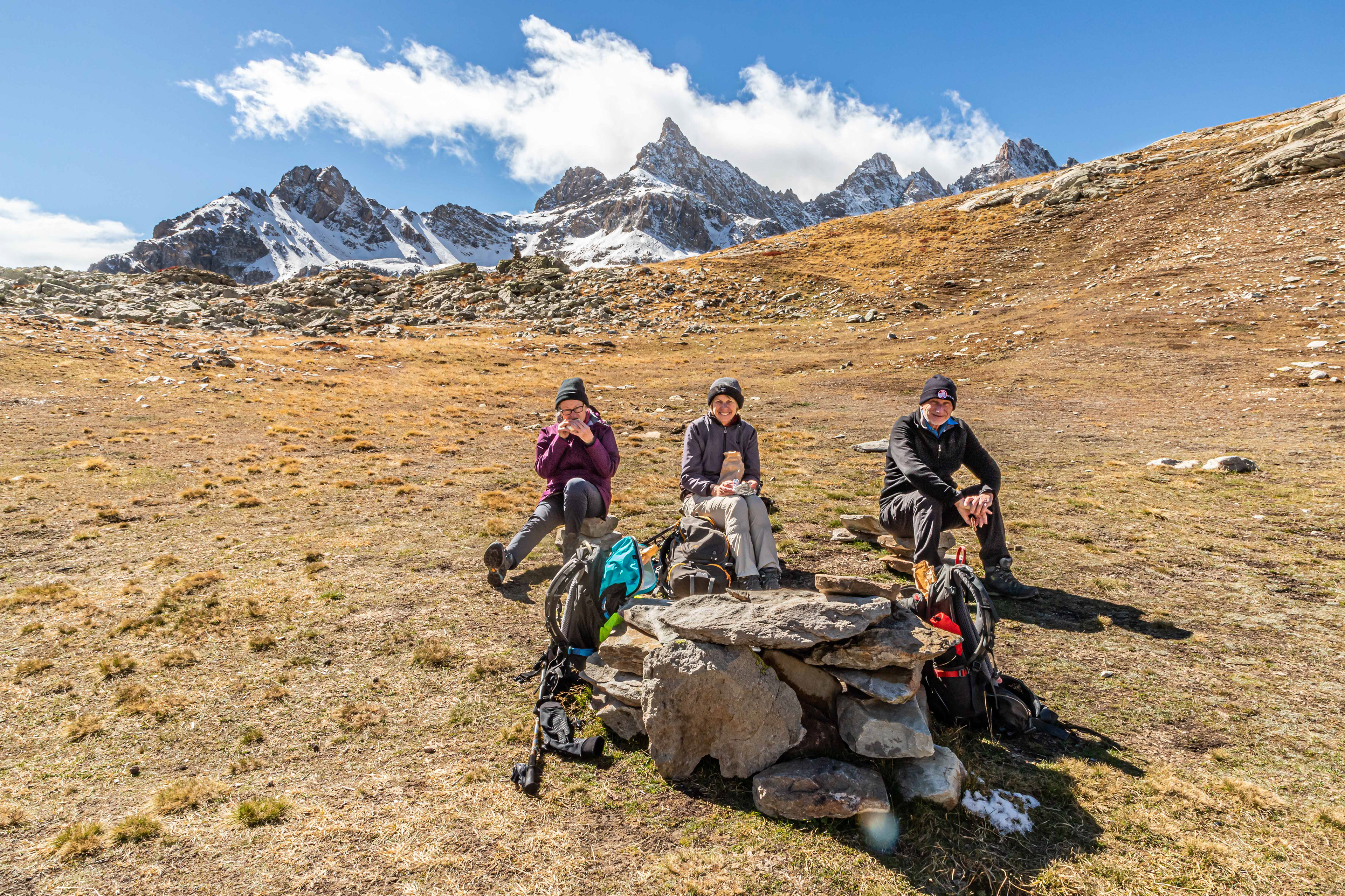
Snack break in the sun and out of the wind.

The final push to the right to Col de Maurin at 2637 m.
The Italian, French border post, Col du Maurin.

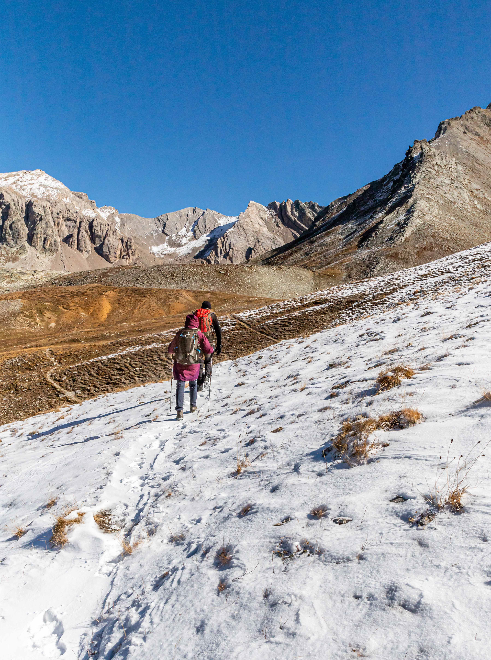
A light dusting of snow on the short walk from the col to Lac du Roure in France.
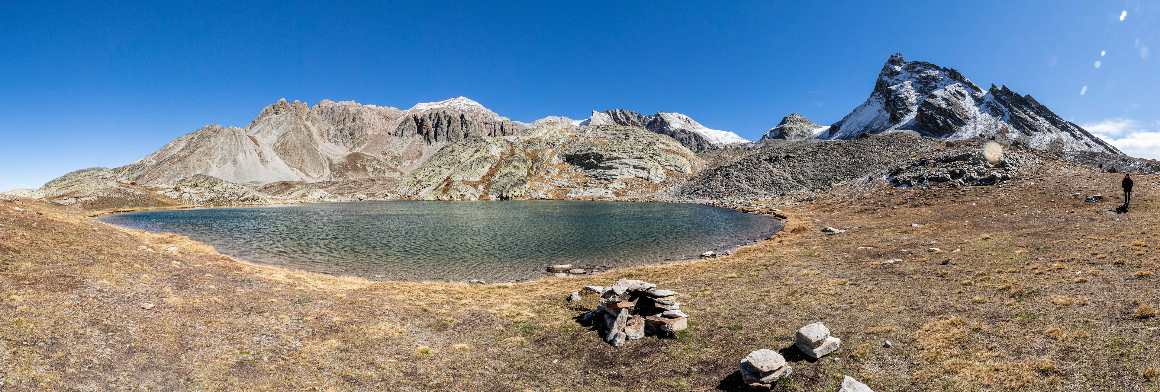
Lac du Roure, France.
Smoko at the lake.
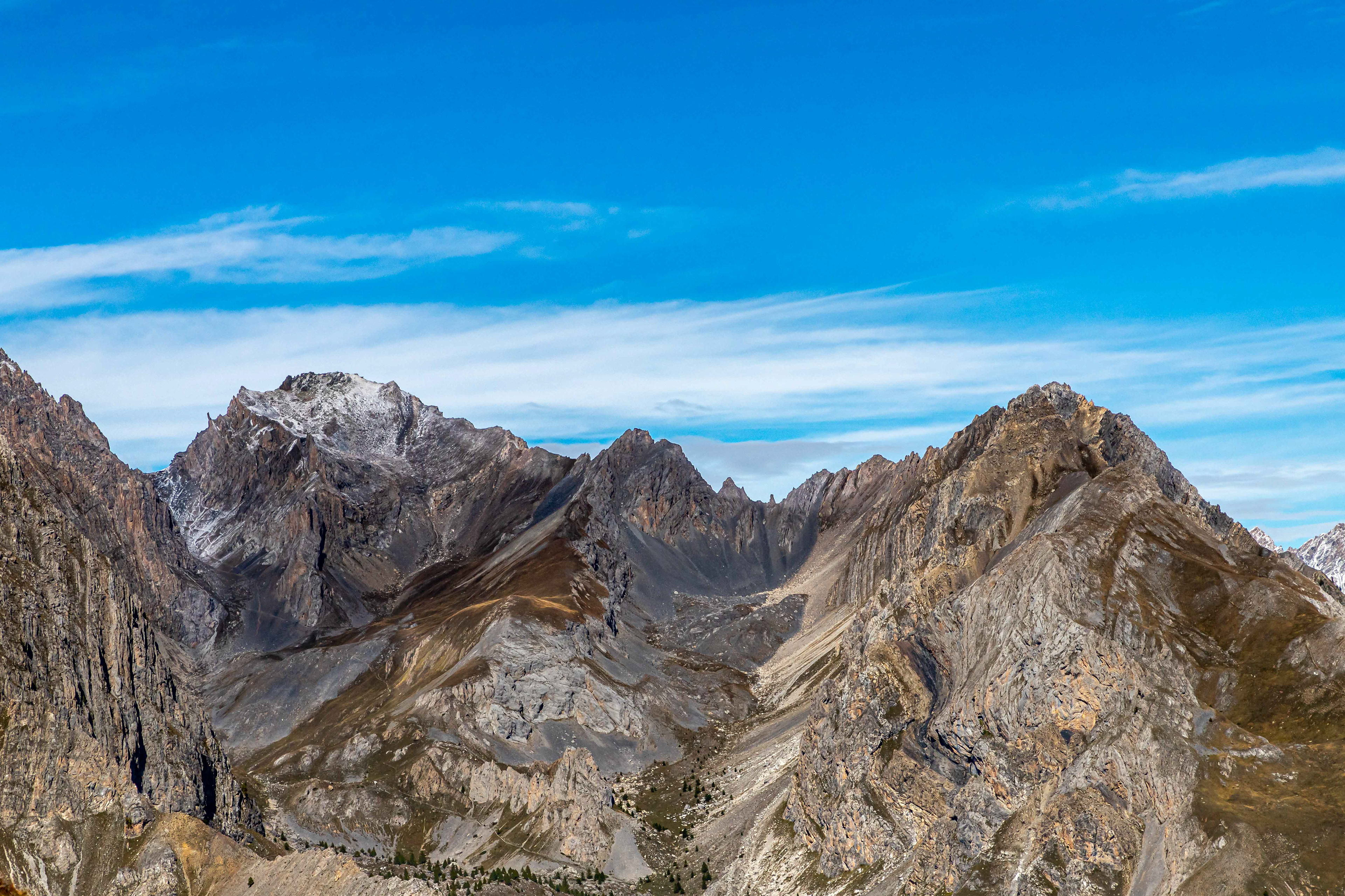
The mountains around the lake were spectacular.

Heading back down the valley to Chiappera. While it seemed against the grain to retrace our steps, in fact doing the same walk, in reverse, was like doing a totally different walk.
Stepping out through the streets of Chiappera heading for Rocca Provenzale.


Upwards, ever upwards.
Rest time.

Never ending zig zags. From just below the col looking back towards the valley village of Chiappera.

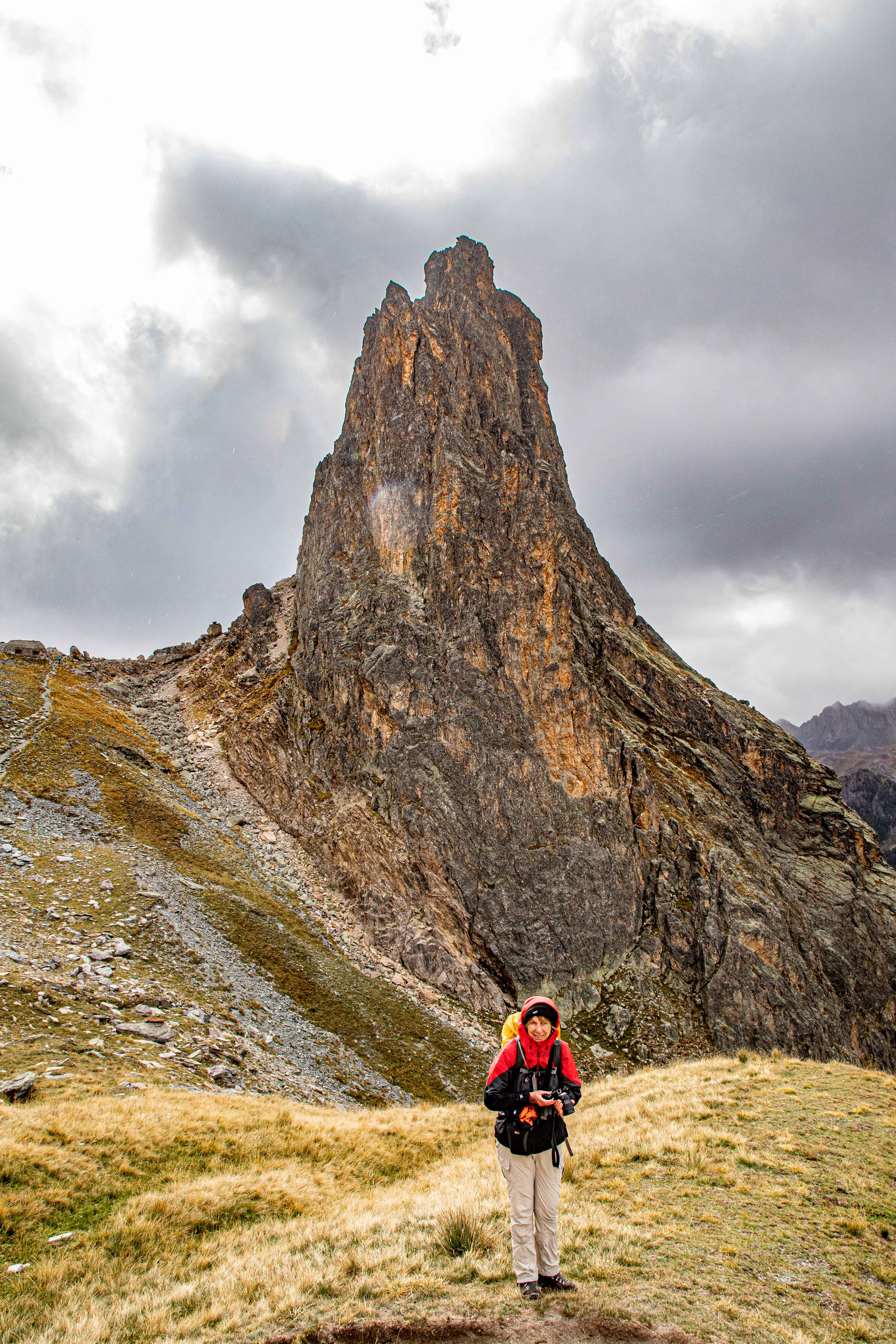
The elusive Col Greguri (2310 m).
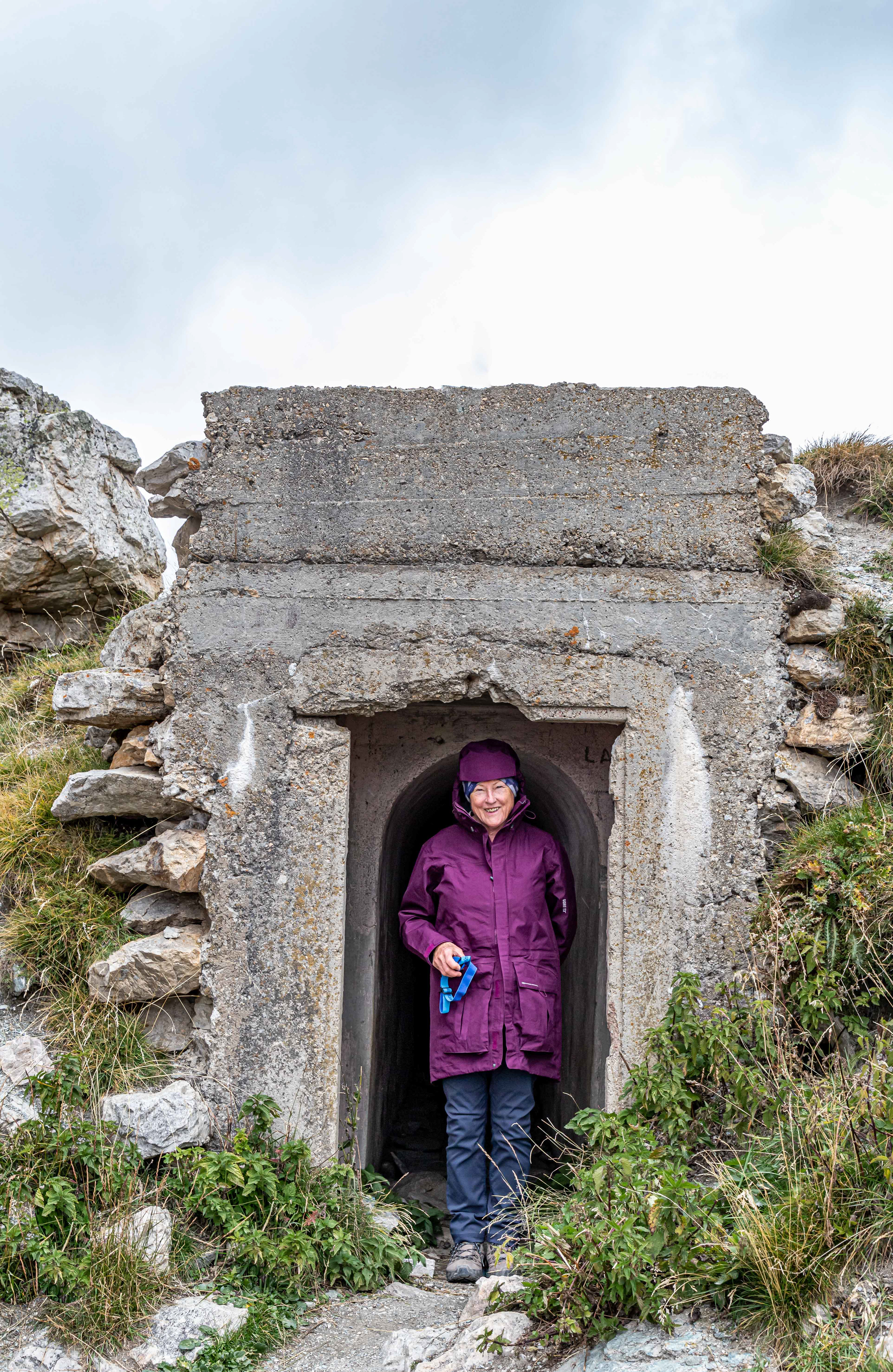
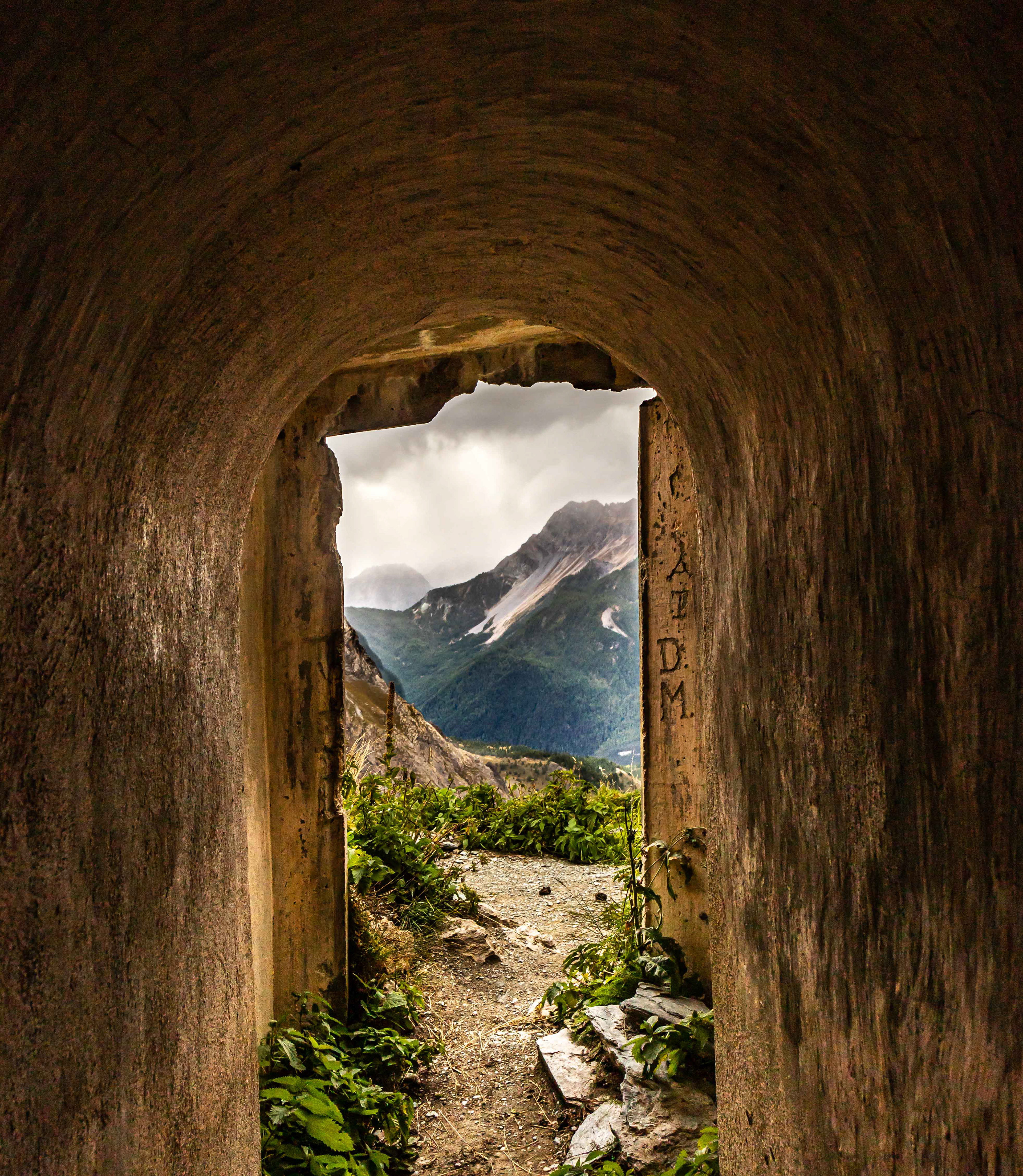
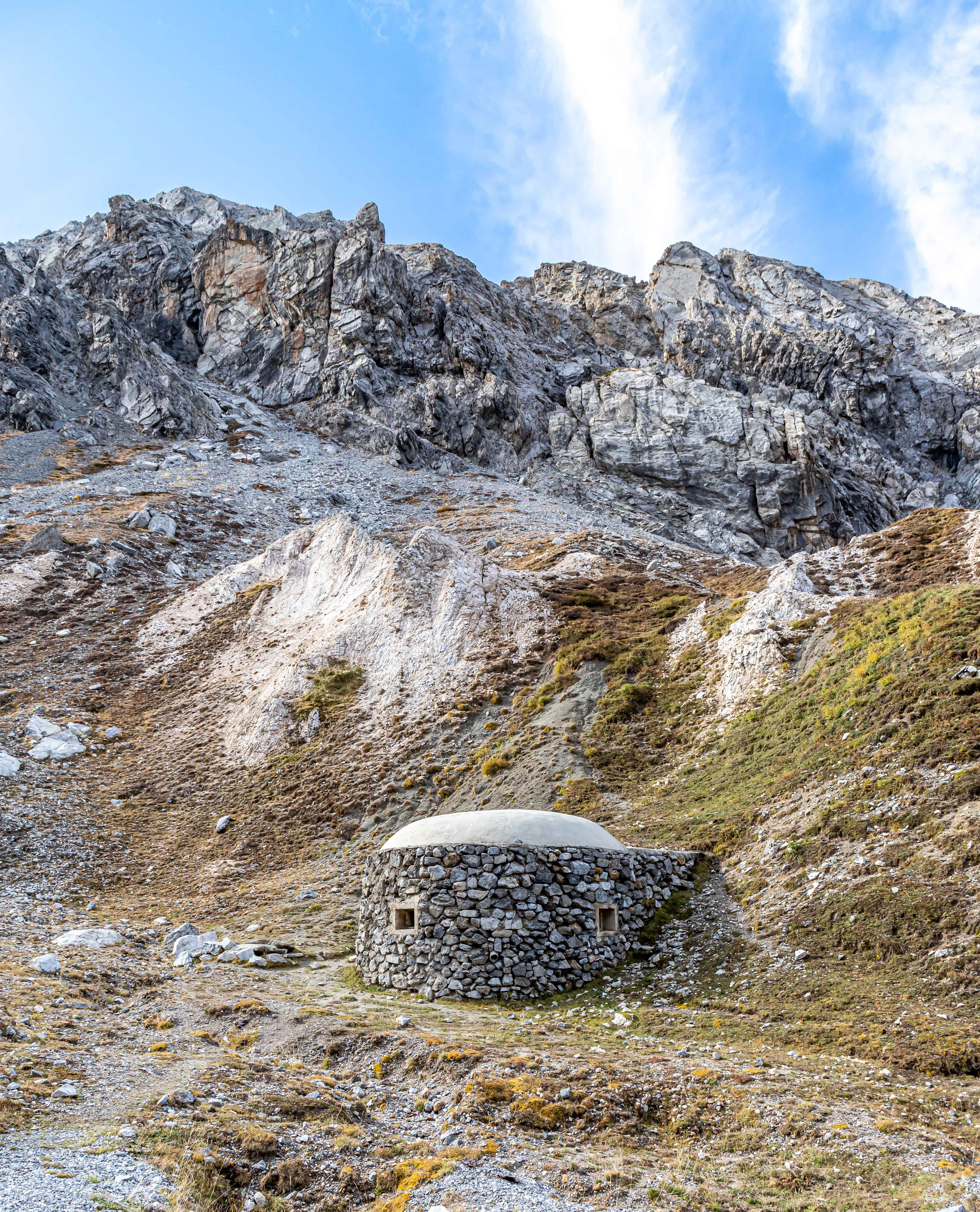
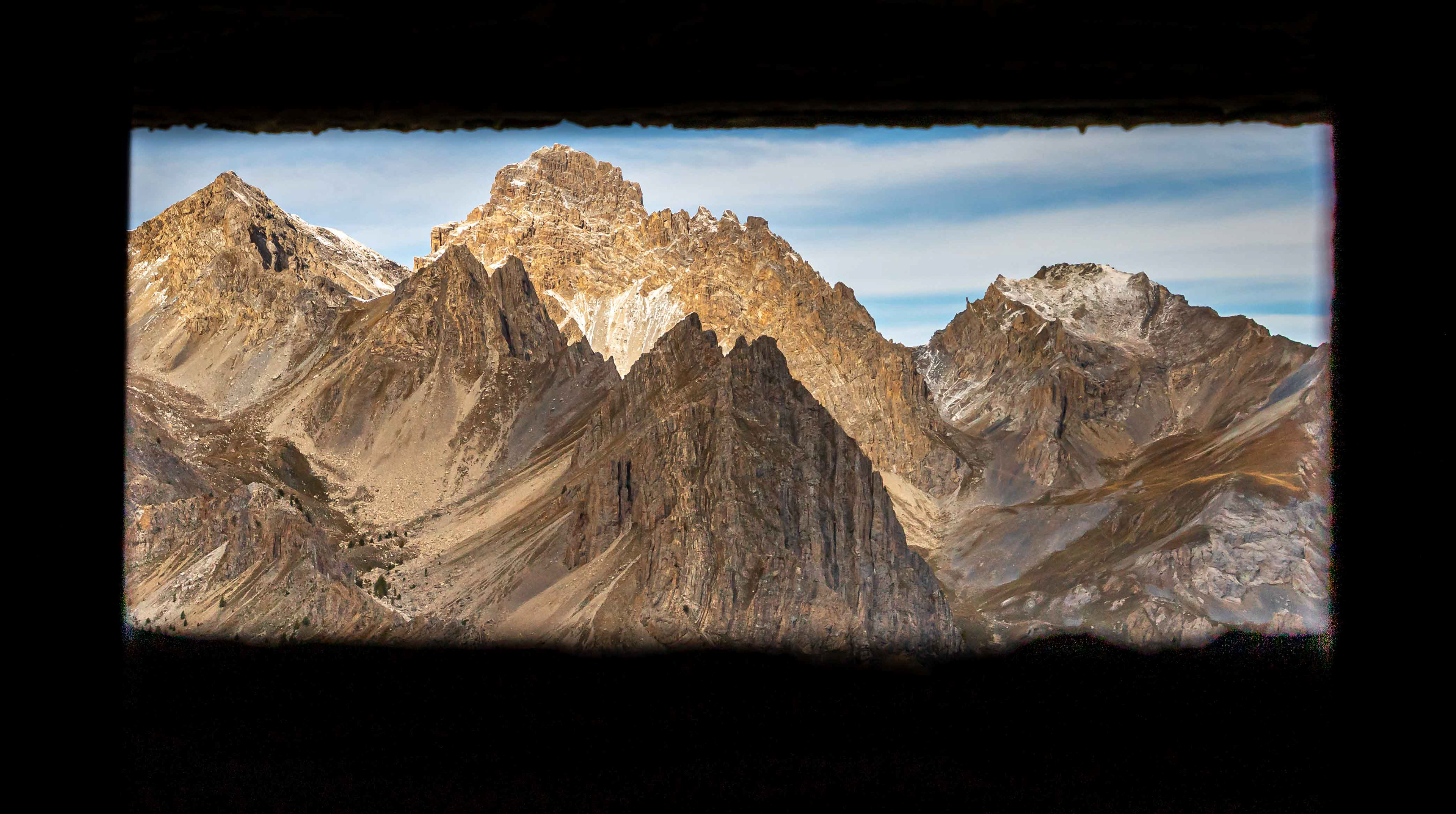
World War 2 bunker at Col Greguri.
Towards Chiappera from the bunker.
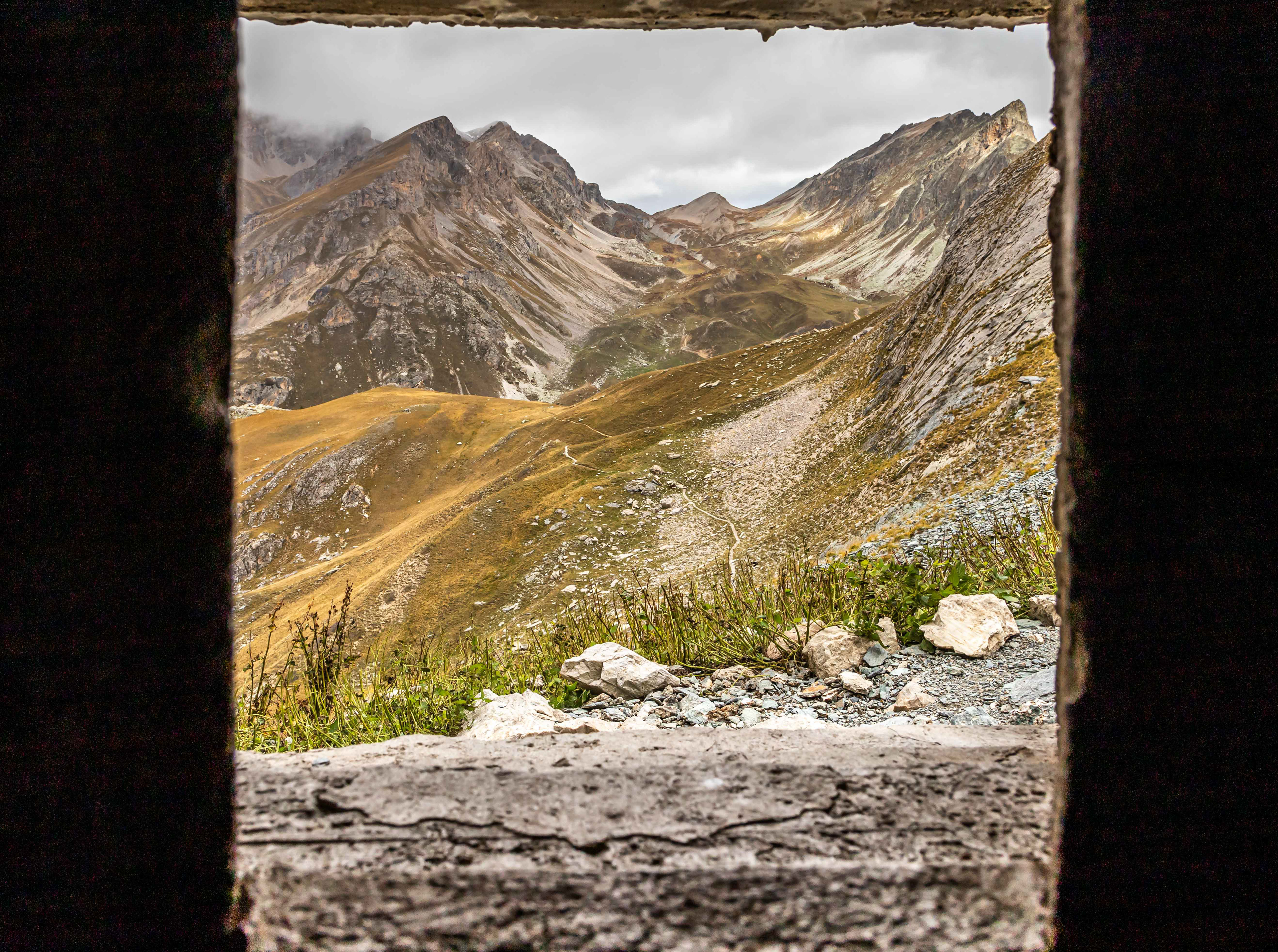
Looking towards France from the gunport of the WW2 bunker on Col Greguri.
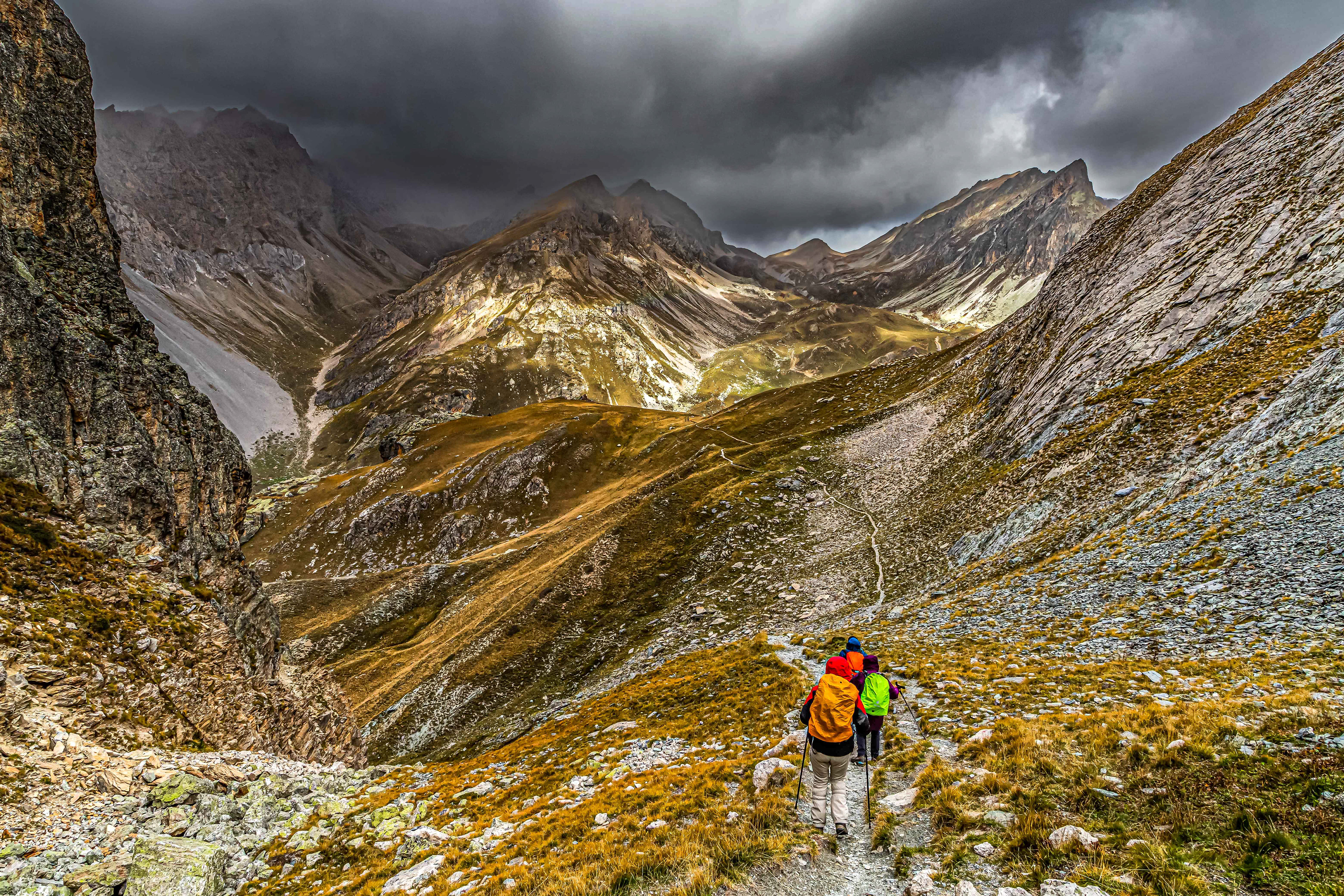
Dropping over the col we were hit by a gale force wind and what felt like sleet.
A gentle slope out of the village of Pratorotondo (1600 m) heading to the high country.
Crossing the Unerzio River in the valley of the same name.
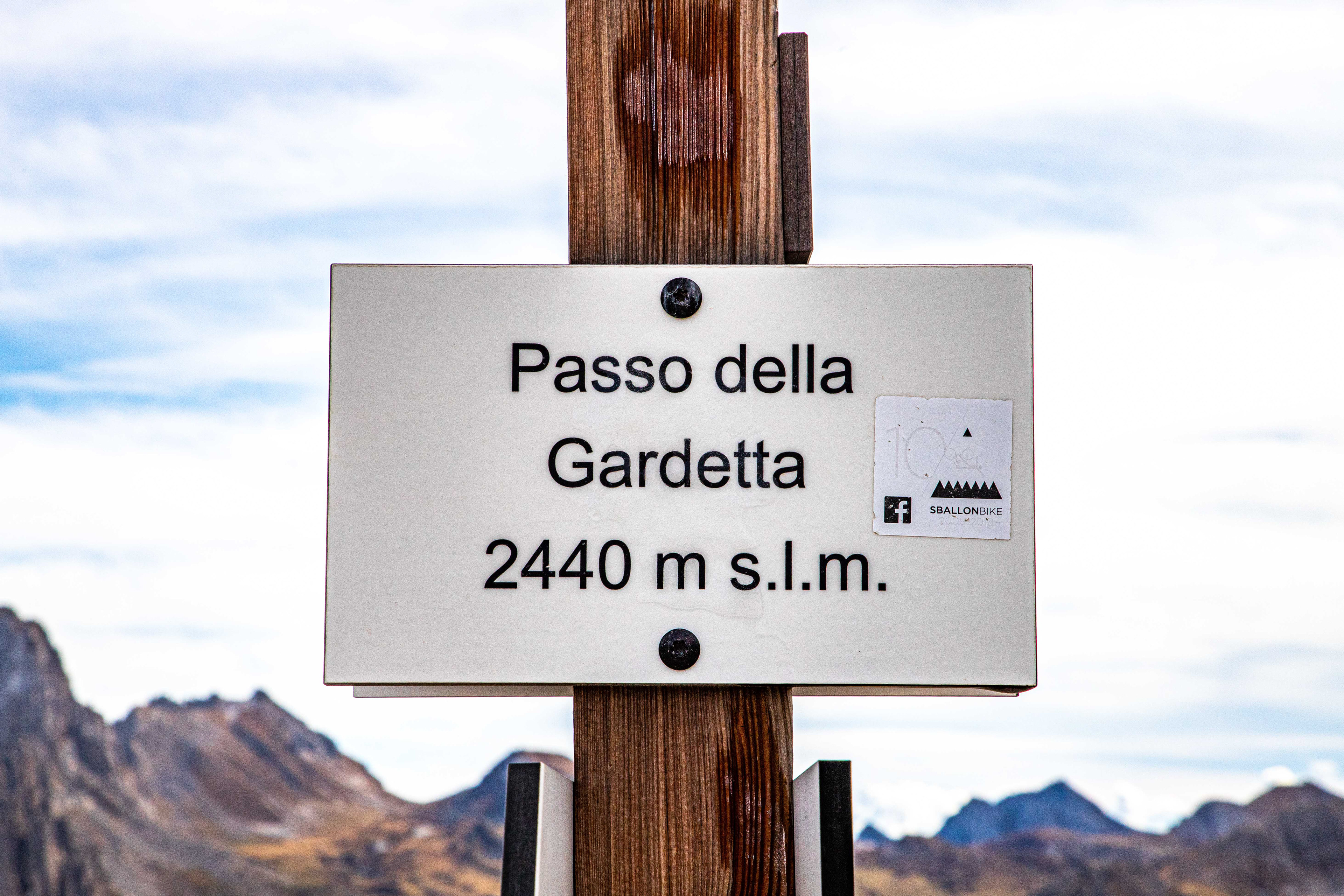
Slowly climbing to the Passo della Gardetta.
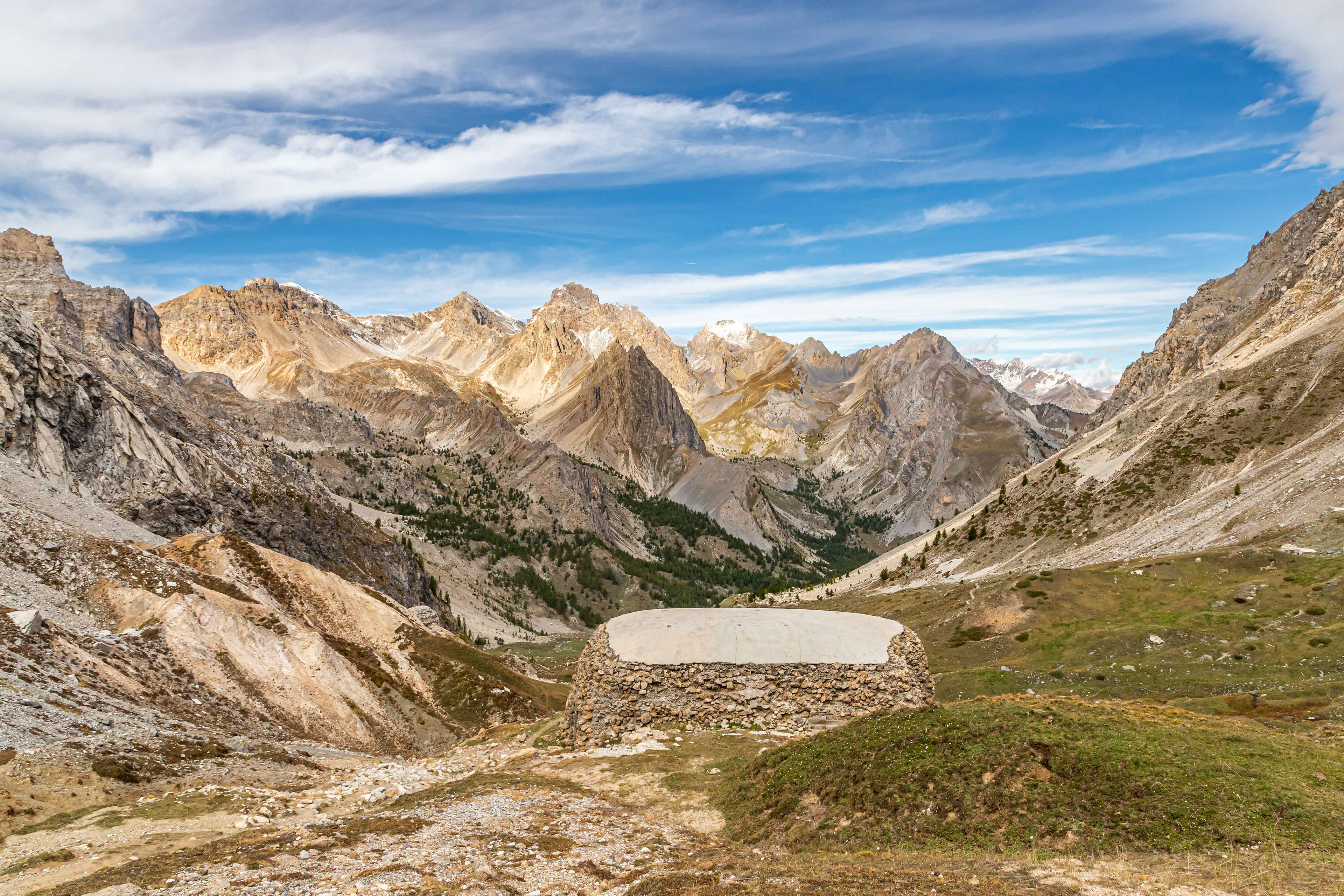
Remains of a WW2 Italian bunker at Passo della Gardetta. This pass was the defence line between Italy and France with a military presence dating back to the 1700s. The bunker has been restored although the one in the subsequent image has not.

Good camoflauge.
Gun port facing towards France although the border is some way off.
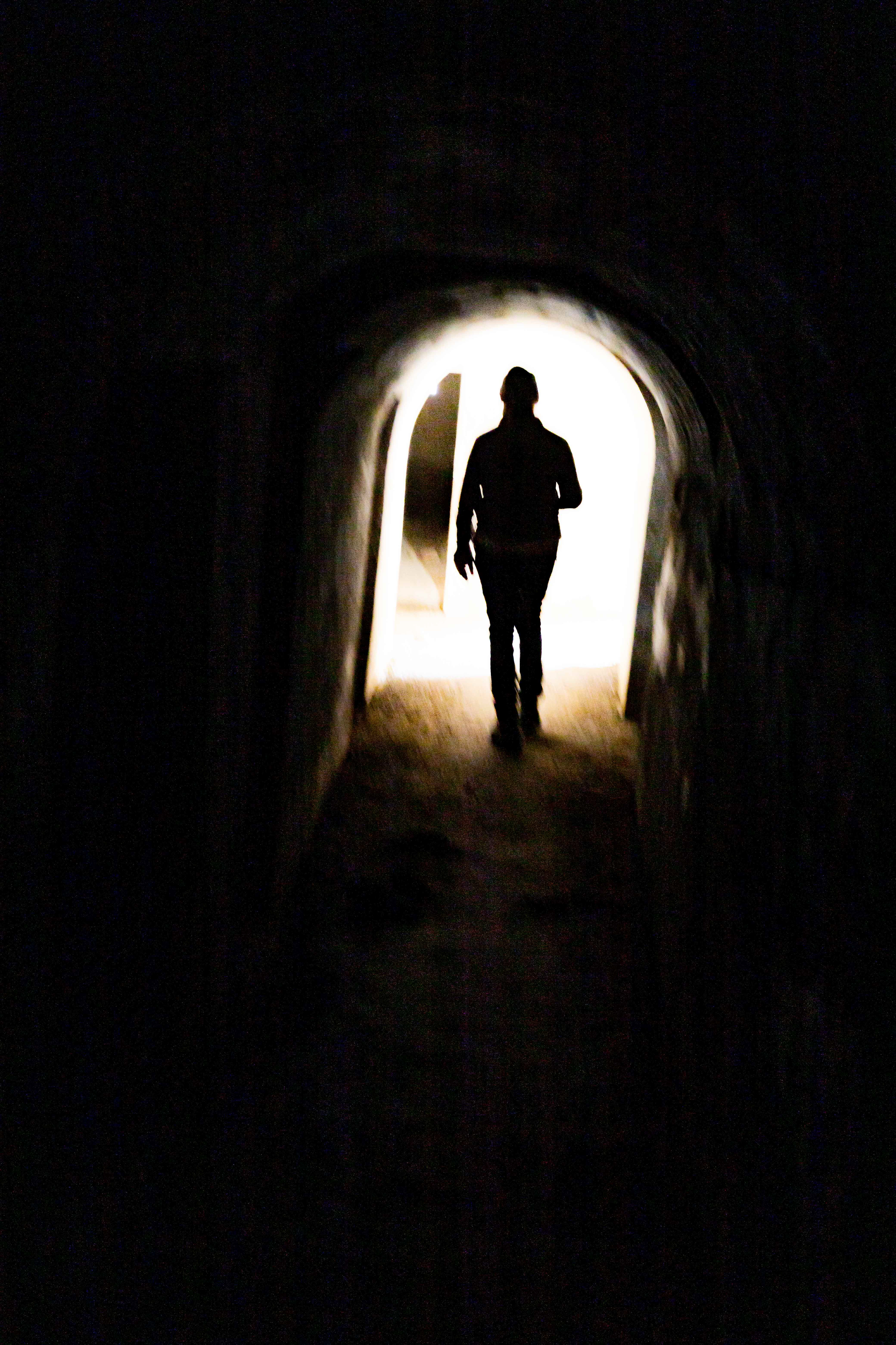
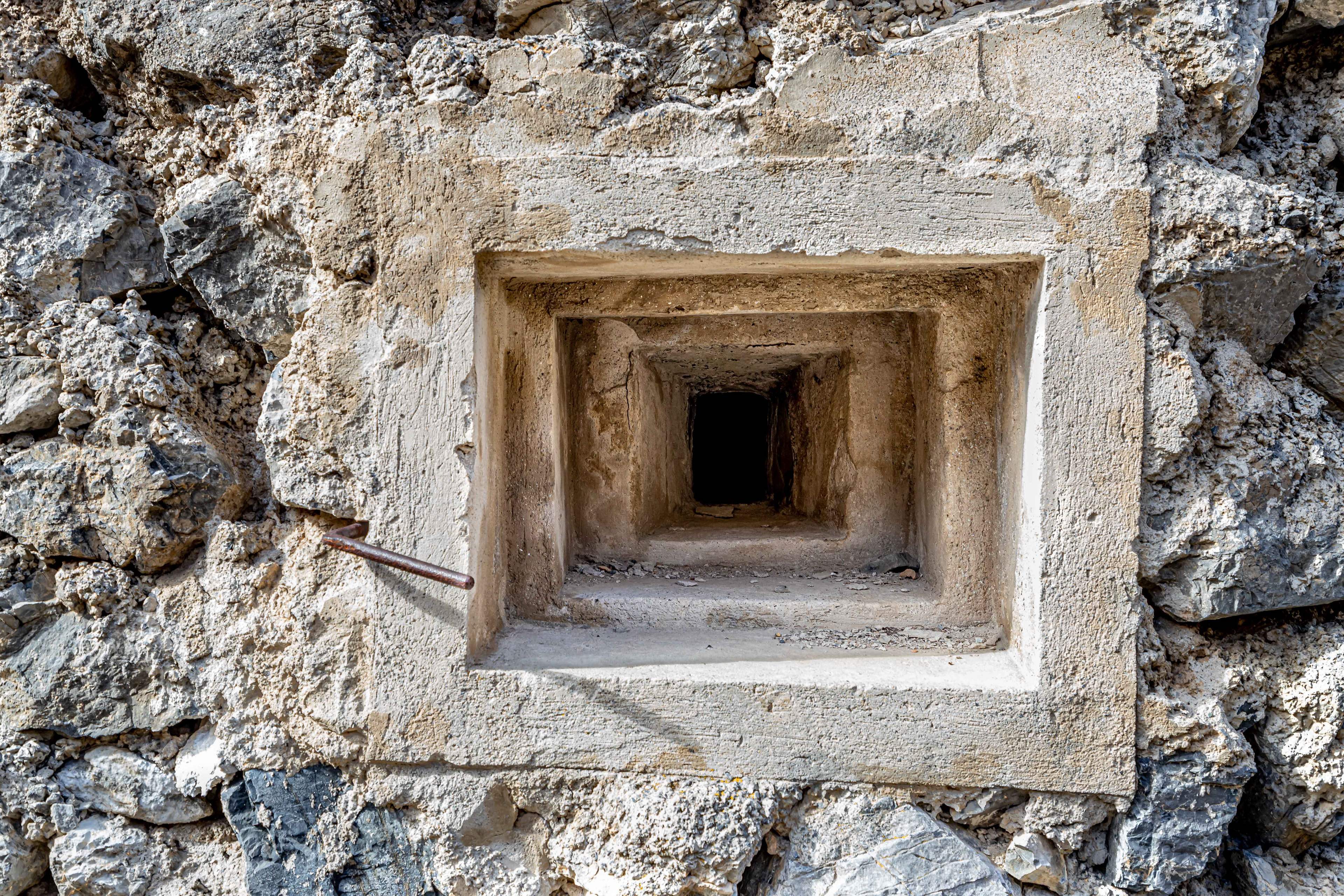
It is possible to explore the bunkers. BYO light.
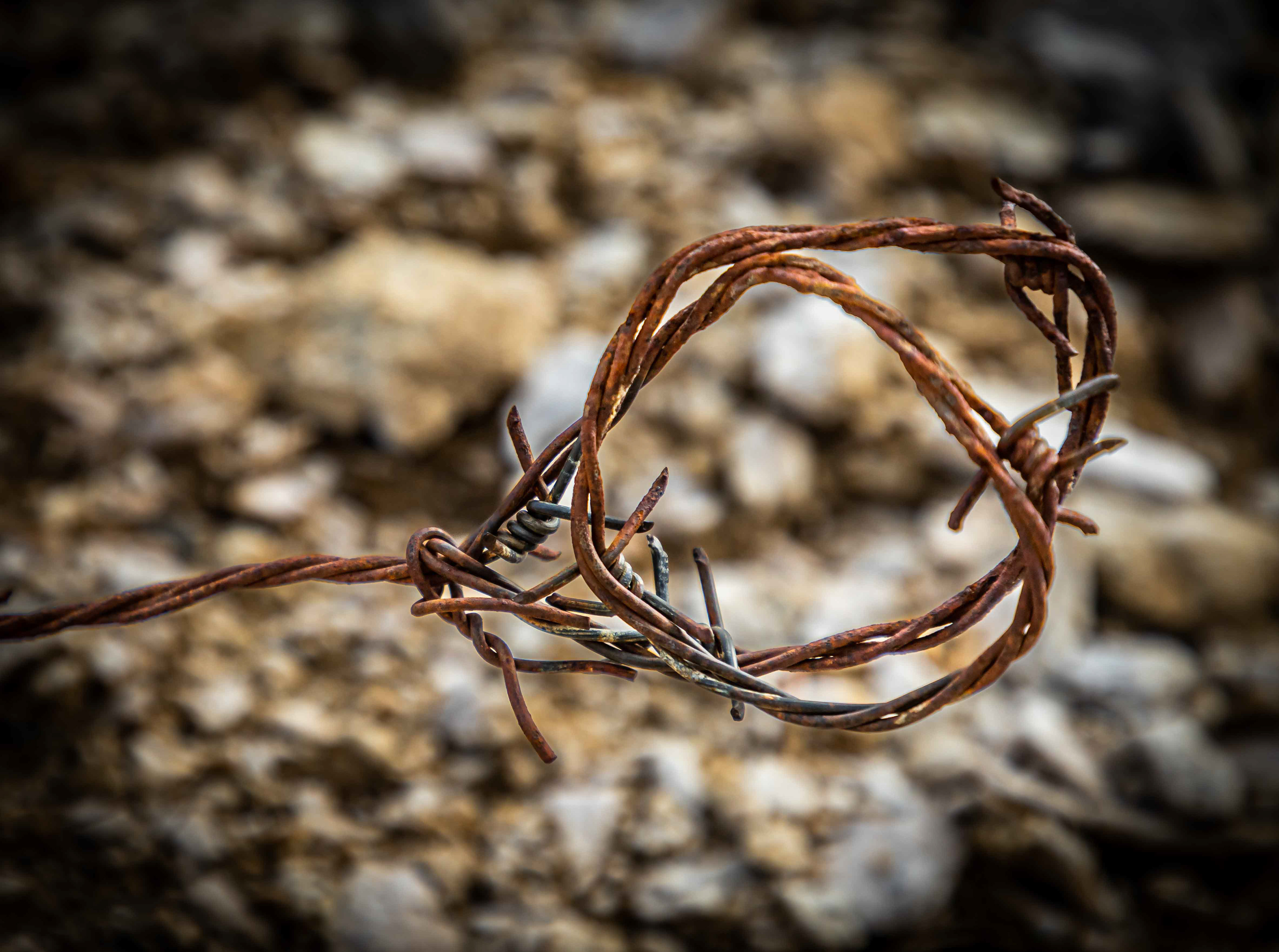
Below: Military barb wire entanglements.


If you had to be a soldier on the front, having this view through the gun port would have been some consolation, although probaby not in winter or when there was a gale blowing.
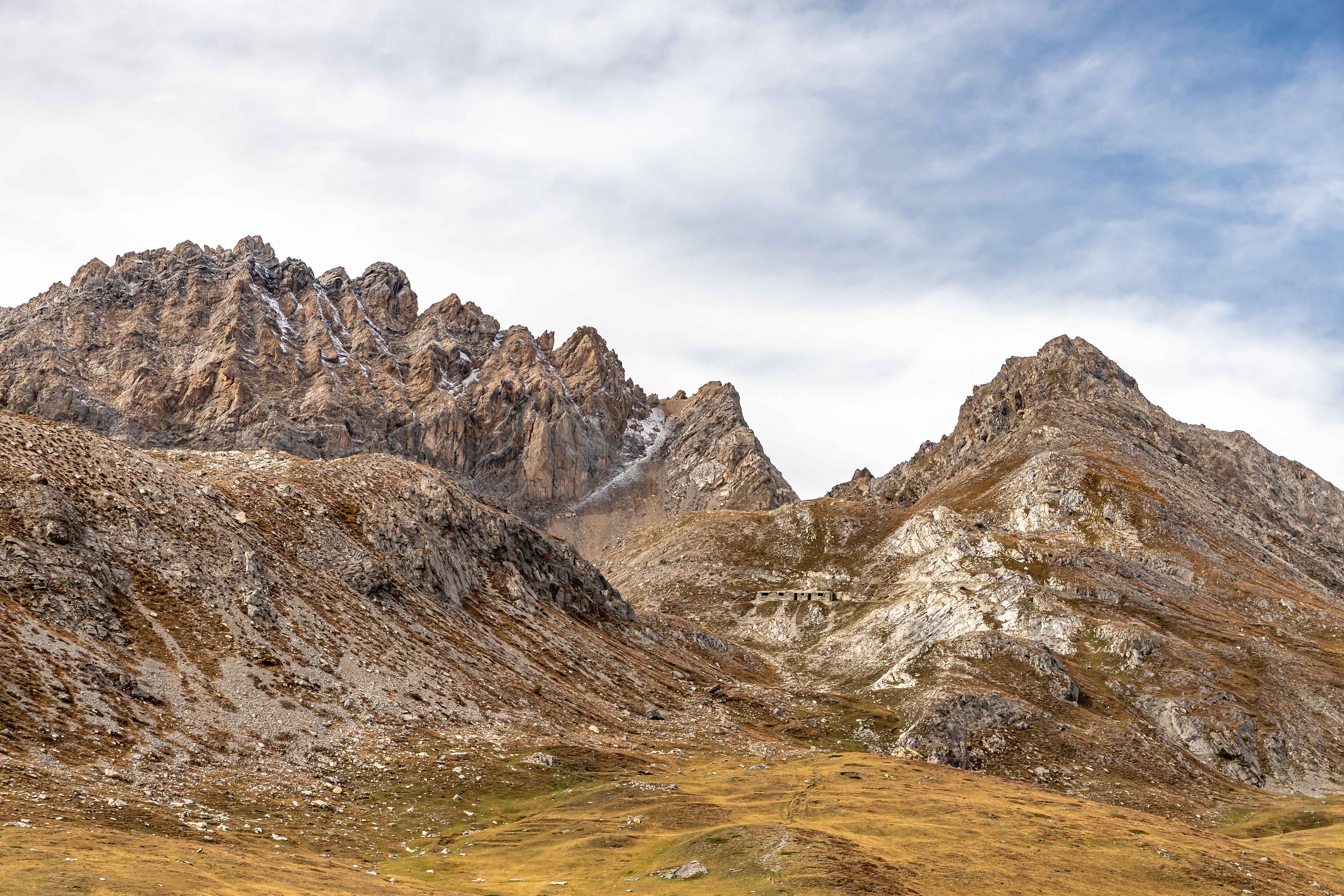
Although difficult to see (good camoflauge?) there is a military barracks mid-picture.
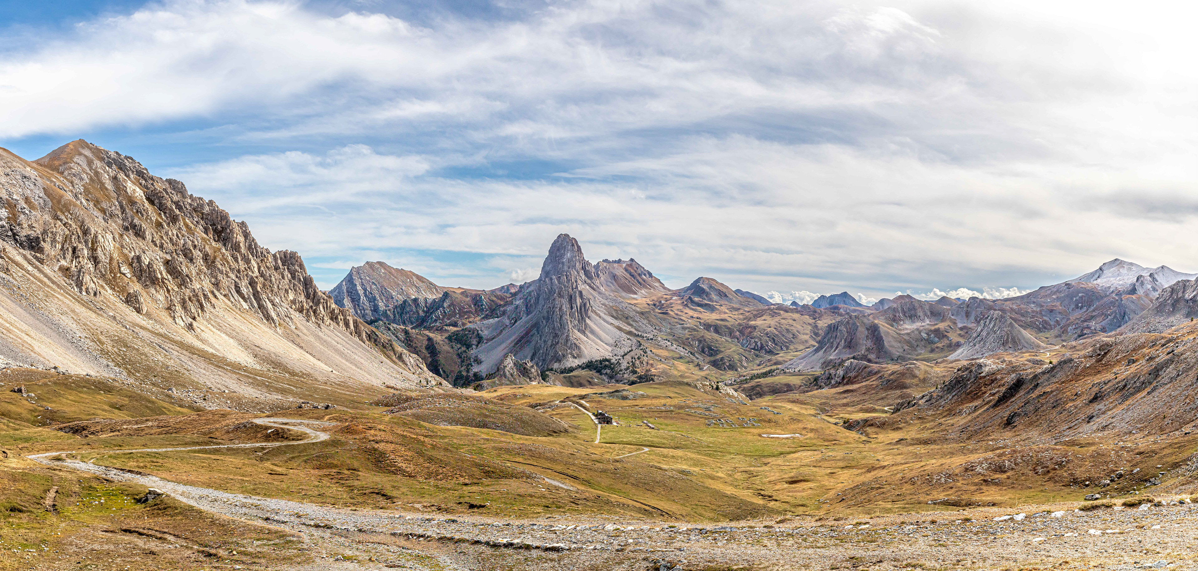
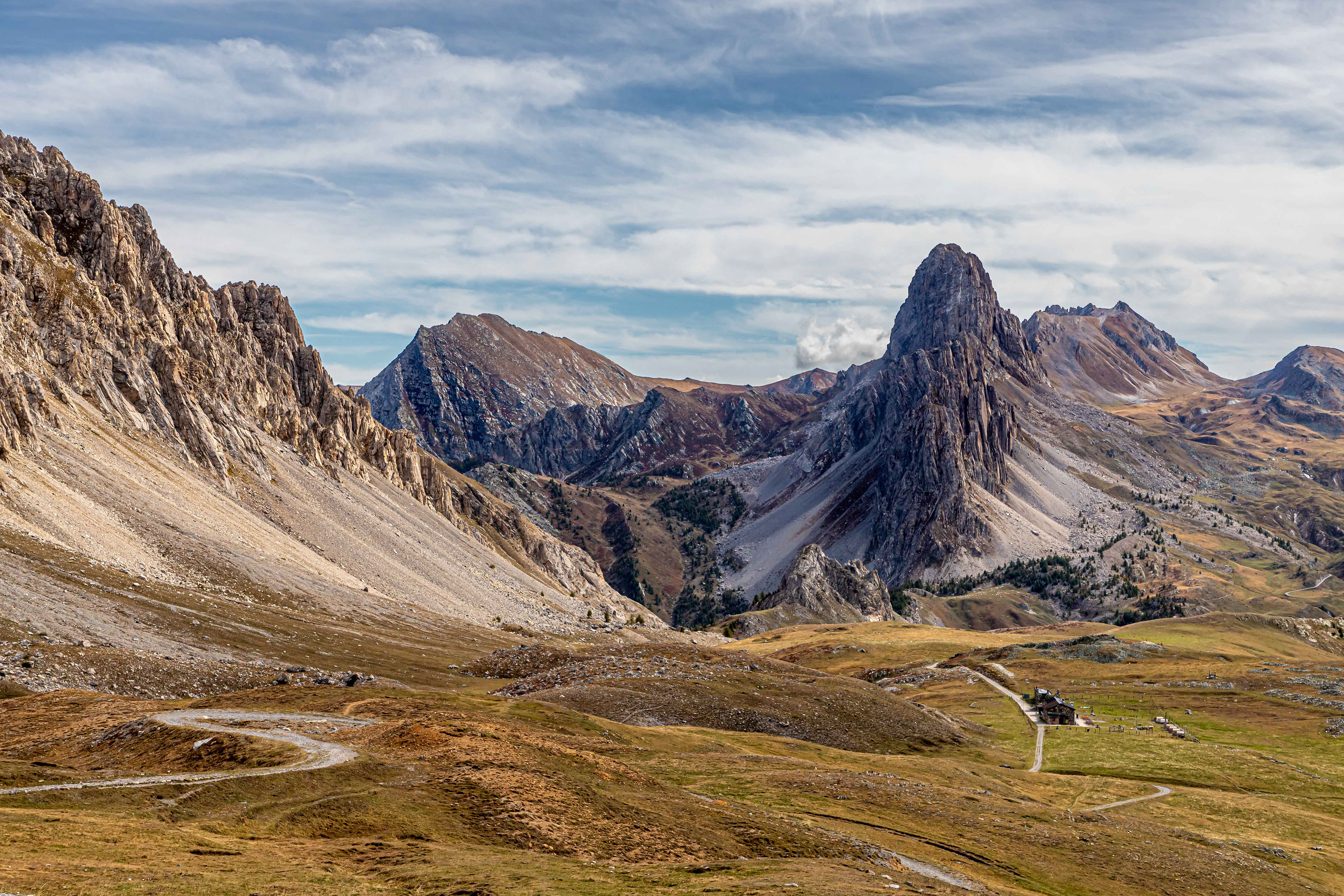
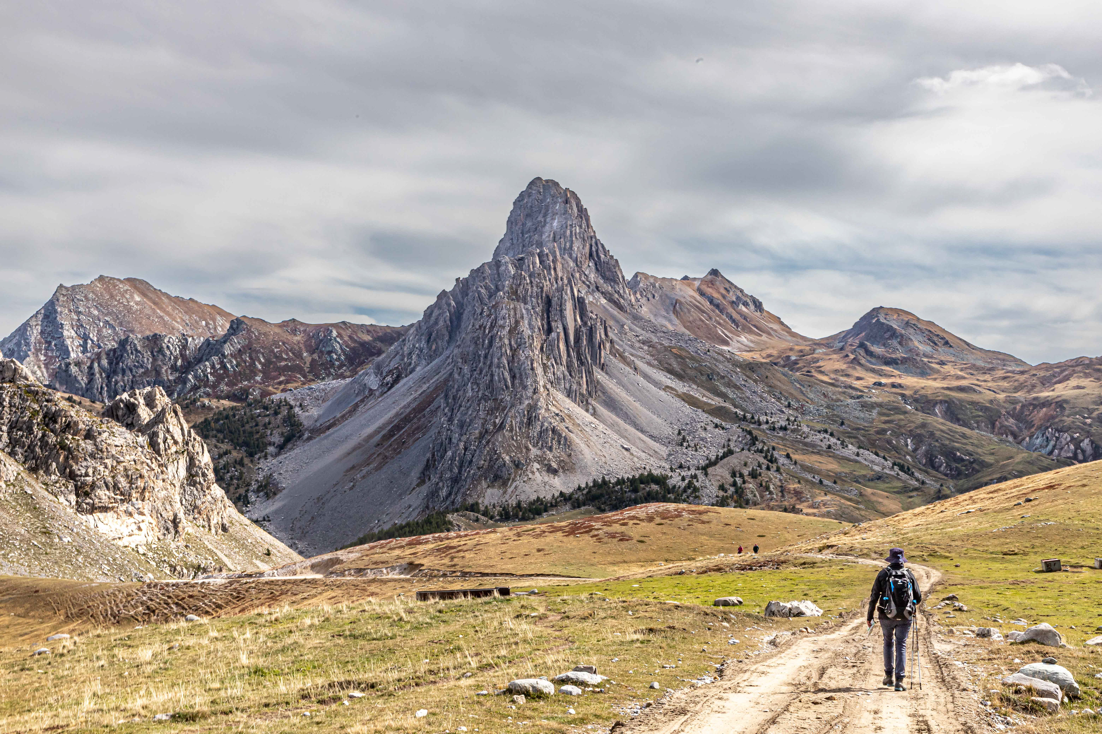
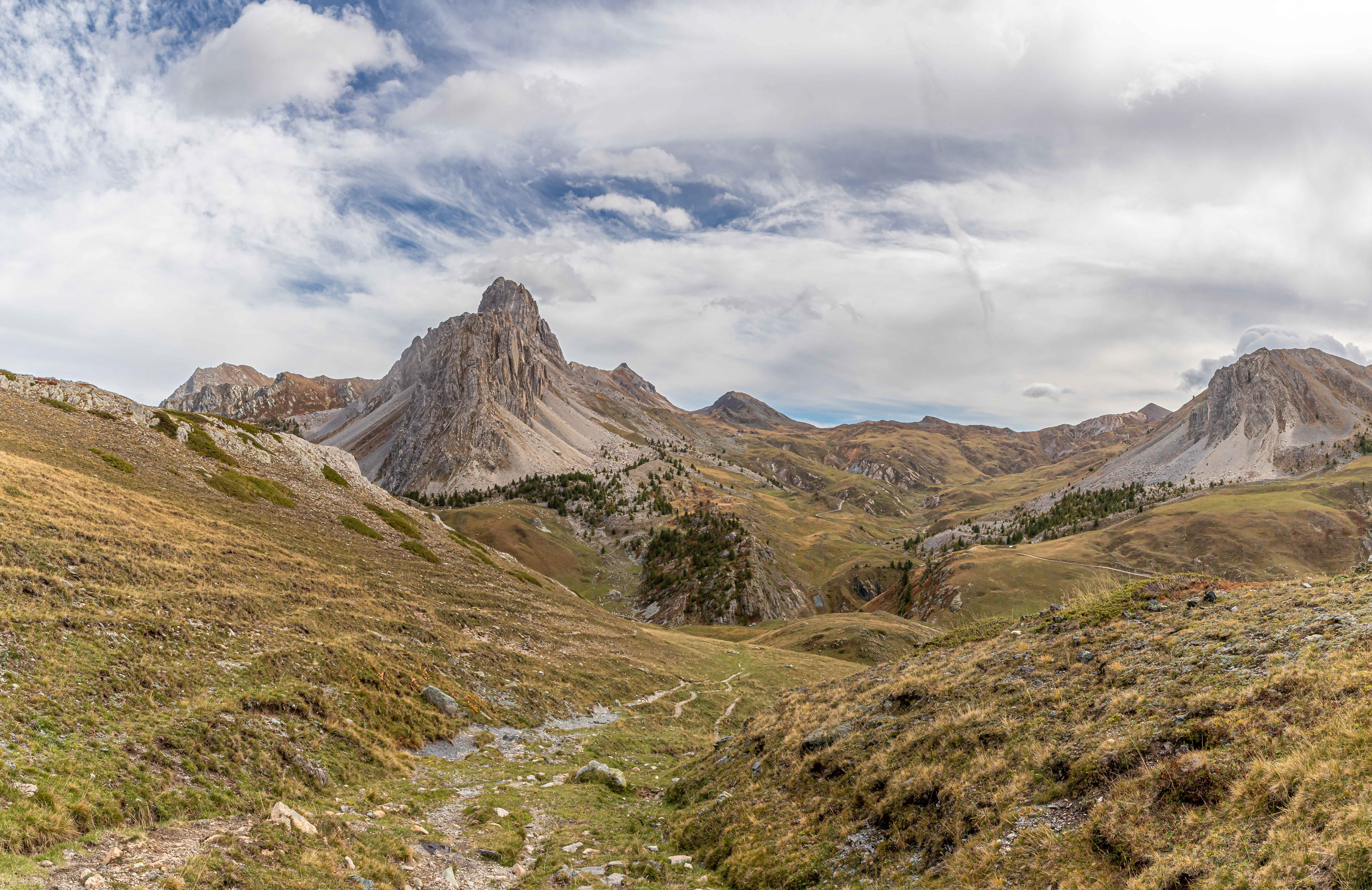
Coming over the top of the col to see this view was awe inspiring. Rocca la Meja dominates the scene. The dot in the middle of the alpine pasture is the Refugio Gardetta, which unfortunately, was closed..
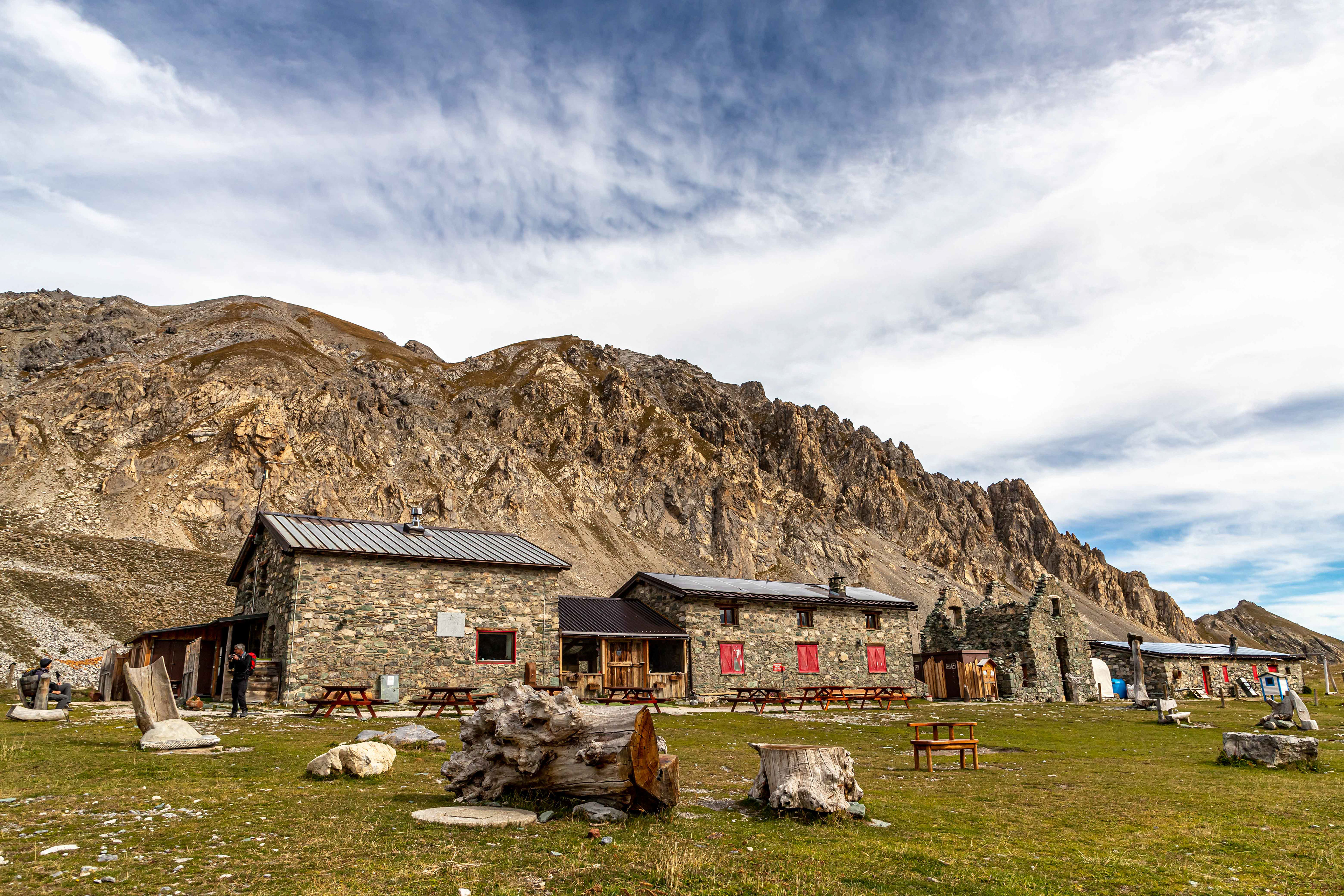
Refugio Gardetta.
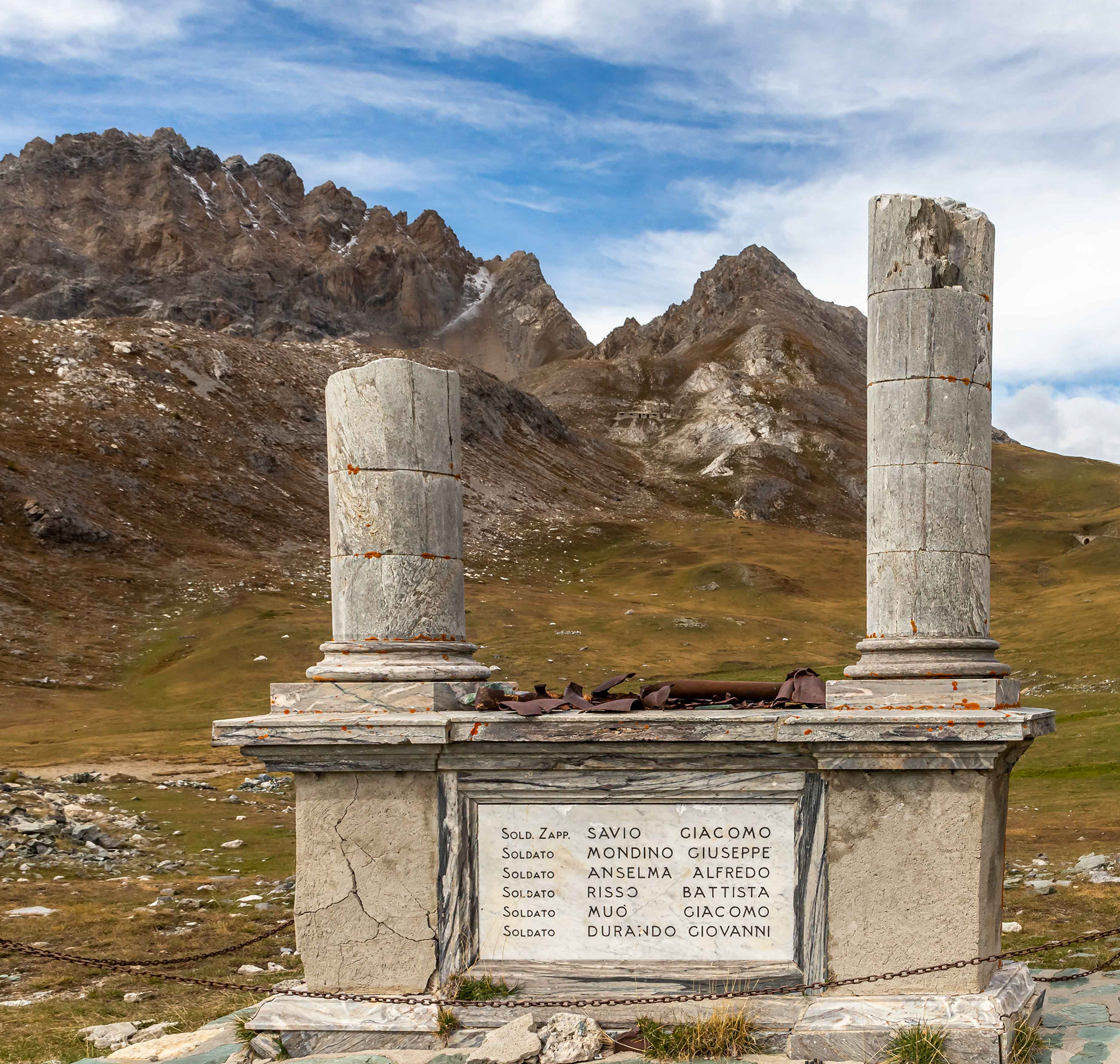
Memorial to the fallen adjacent to the Refugio Gardetta. The site was an important army barracks with military activities dating back to the 1700s. One of the garrison buildings has been restored and stands to the right of the refugio in the above image.

My Italian is non-existant but Google Translate informs me that the memorial honours members of the Mountain Artillery Regiment who were killed post-WW1 while clearing mines. The bottom line says it all, "Don't touch the unexploded shells".
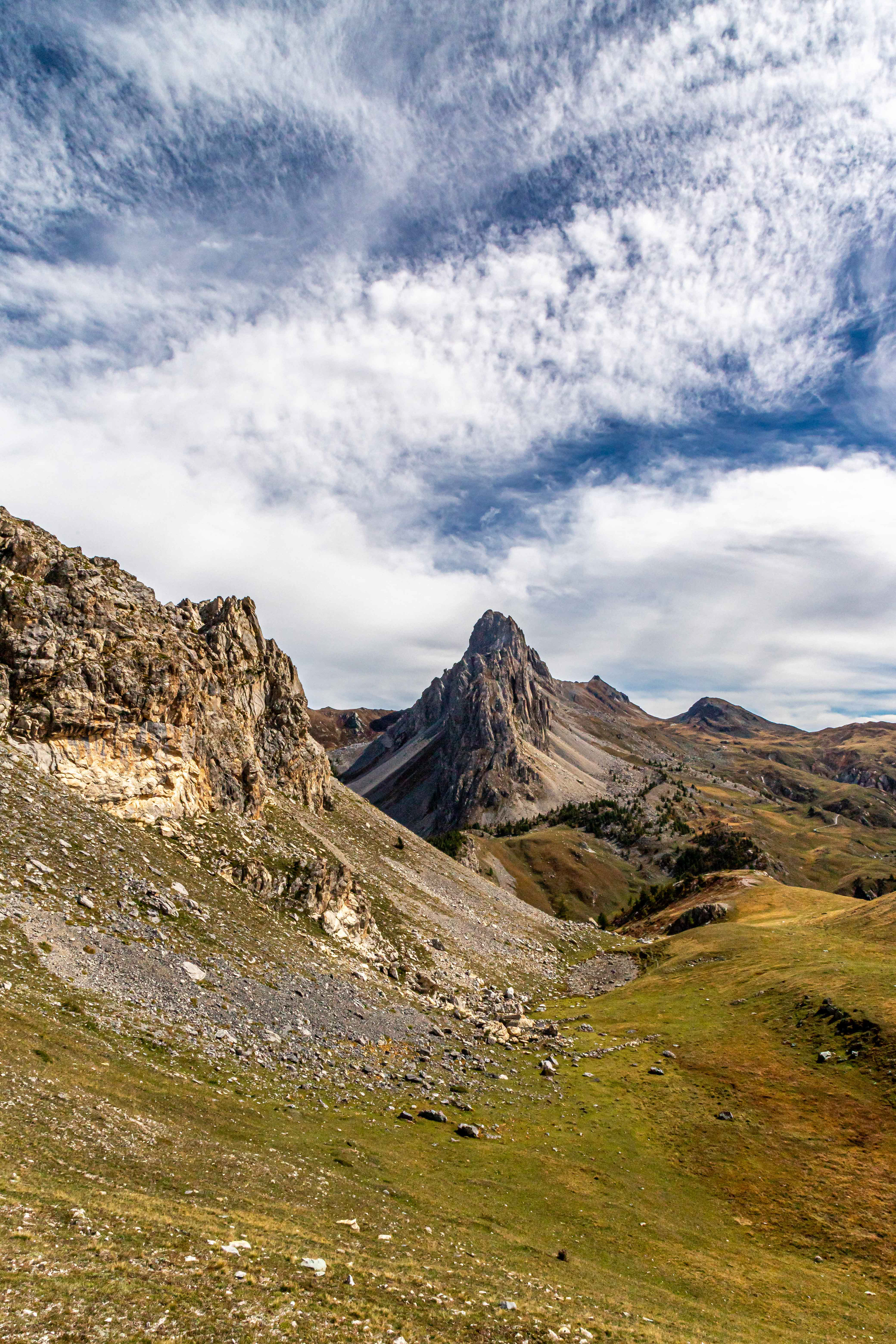
Heading across the alpine grasslands towards Rocca la Meja. This was great walking.

While the whistling of the marmot, signalling that there was danger in the vicinity (i.e. humans), was common, it was rare to see one out in the open.
Still heading for Rocca la Meja. In fact we dropped down into the valley shown and then climbed upwards on the left hand side of Rocca to the final col of the day, Passagio del Priet (2150 m).
A dusting of snow on the distant mountains, most likely the first of the season.
A rough track uo to Passagio del Priet.
The locals were friendly but not moving for anyone.
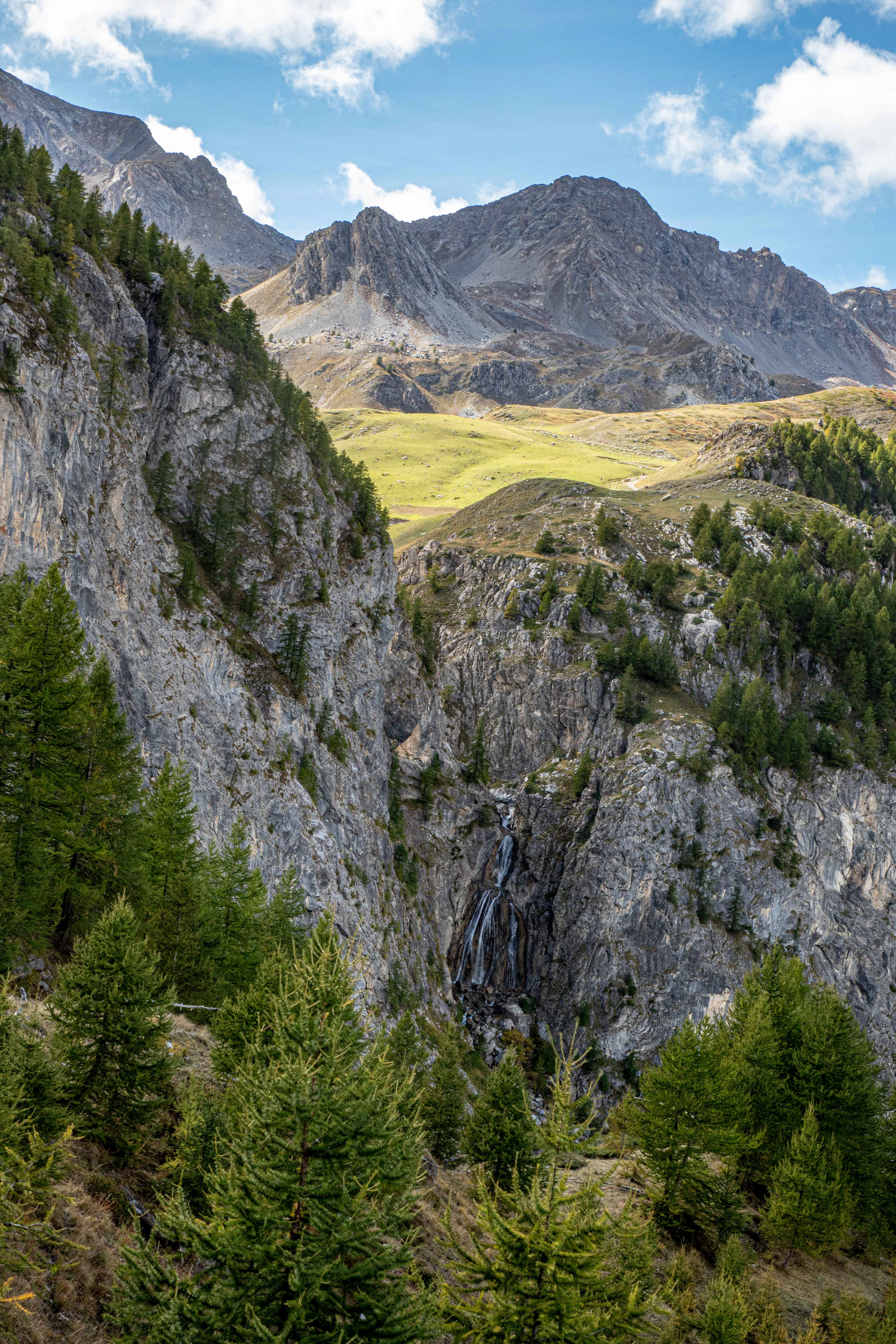
A beautiful waterfall and a view across the mountains and alpine grasslands that we have traversed during the day.
Heading down to the village of Preit (1540 m) which was the end of our day walk.
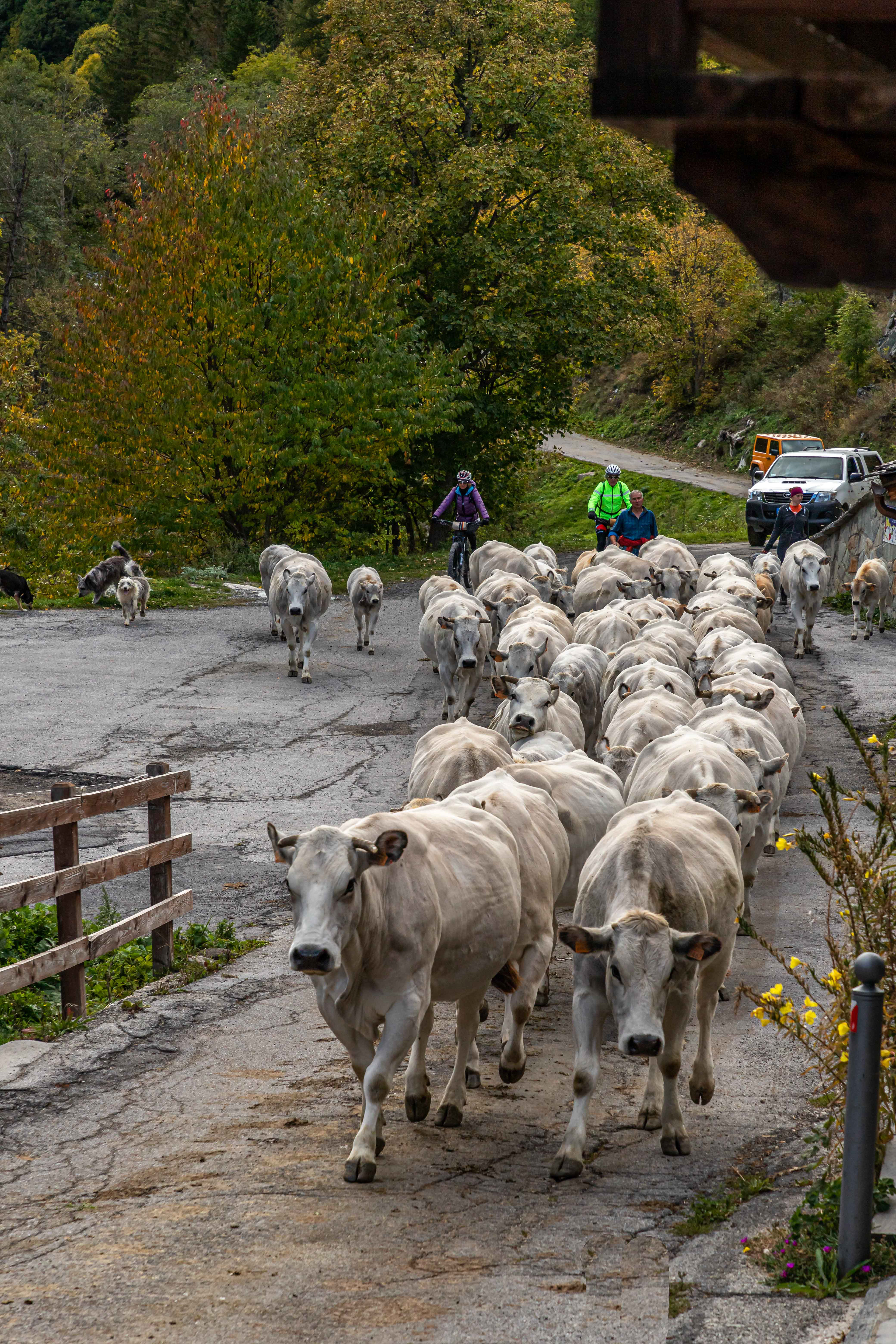
The village of Preit was a hive of activity when we arrived. The local farmers were moving their cattle out of the mountains for the winter. Herd upon herd moved through the village with the owner leading the way. The ringing of the cow bells contributed to the atmosphere. A nice finale to the day. Interestingly, the cattle were penned in paddocks adjoining the village awaiting transport by large articulated trucks to their valley farms which we were informed could be many kilometres away.
For our last couple of nights we stayed in the Locanda Occitana Lou Pitavin at Finello in the Marmora Valley. While it was a somewhat quirky place, which added to the atmosphere, the owners were very friendly, the beds great, and the food and wine superb.
Our last day's walking was supposed to be an easy wander between the local villages. As it turned out, it rained for most of the day and the associated mist did not help with photography. We did walk the required 7 km but the afternoon was spent in the warmth, reading.