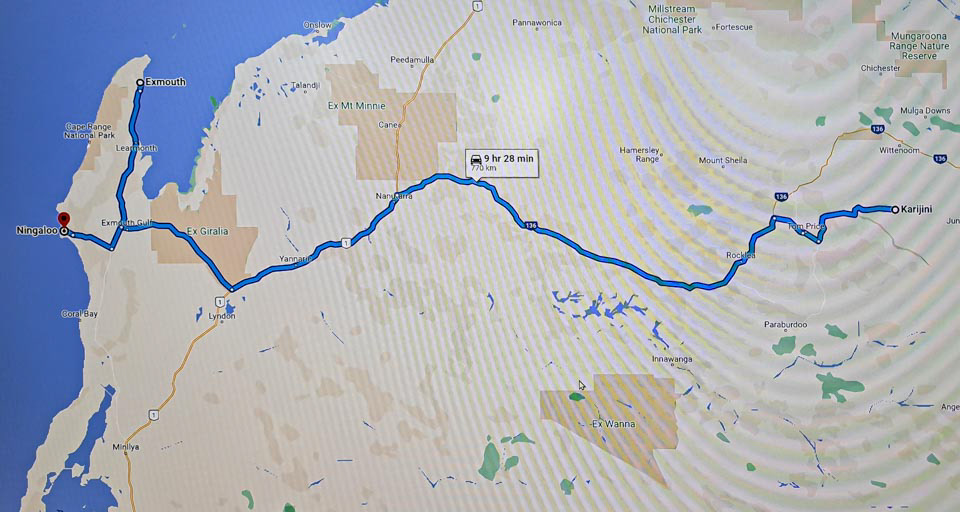
Karinjini to Exmouth
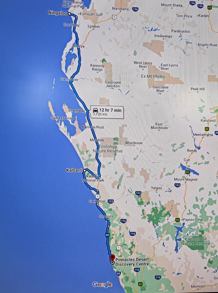
Exmouth to the Pinnacles
On the 640 km drive on the Nanutarra -Munhjina Rd from Karijini to the Indian Ocean at Exmouth, WA

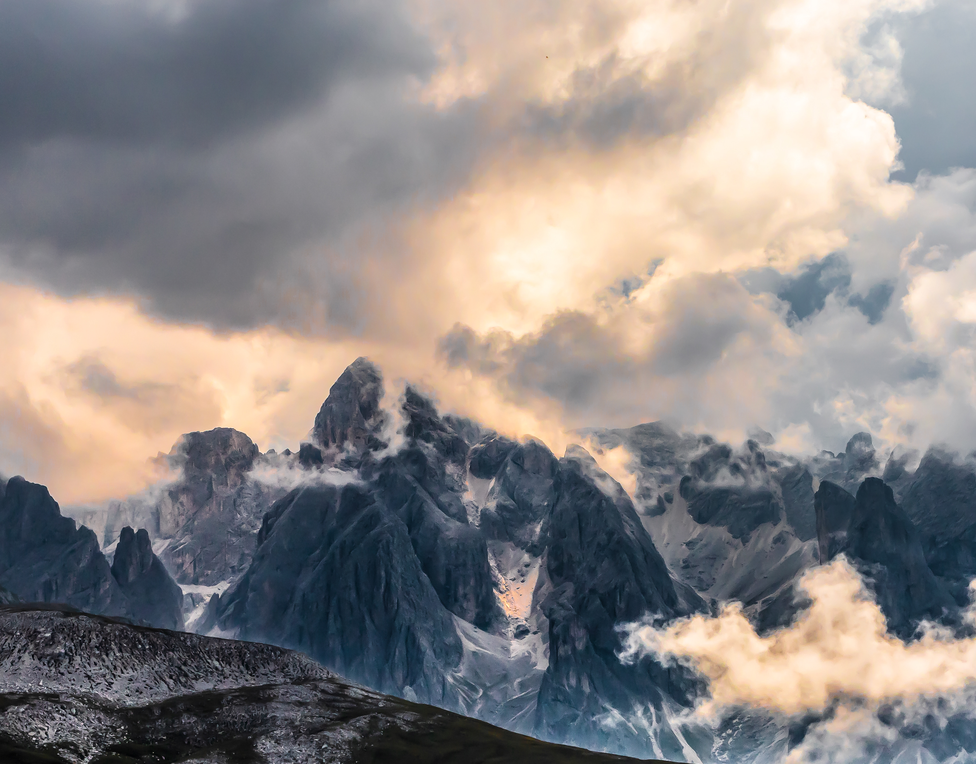
Beautiful vistas on the Karijini to the Indian Ocean road, WA
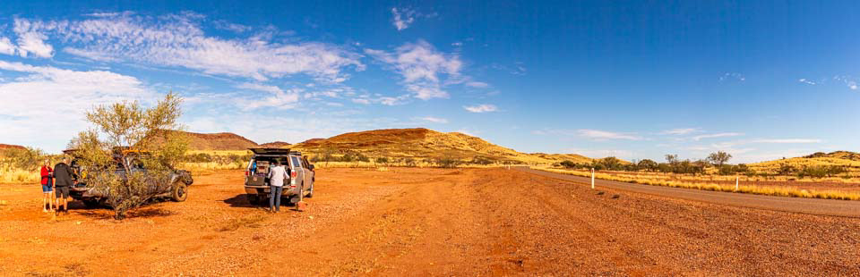
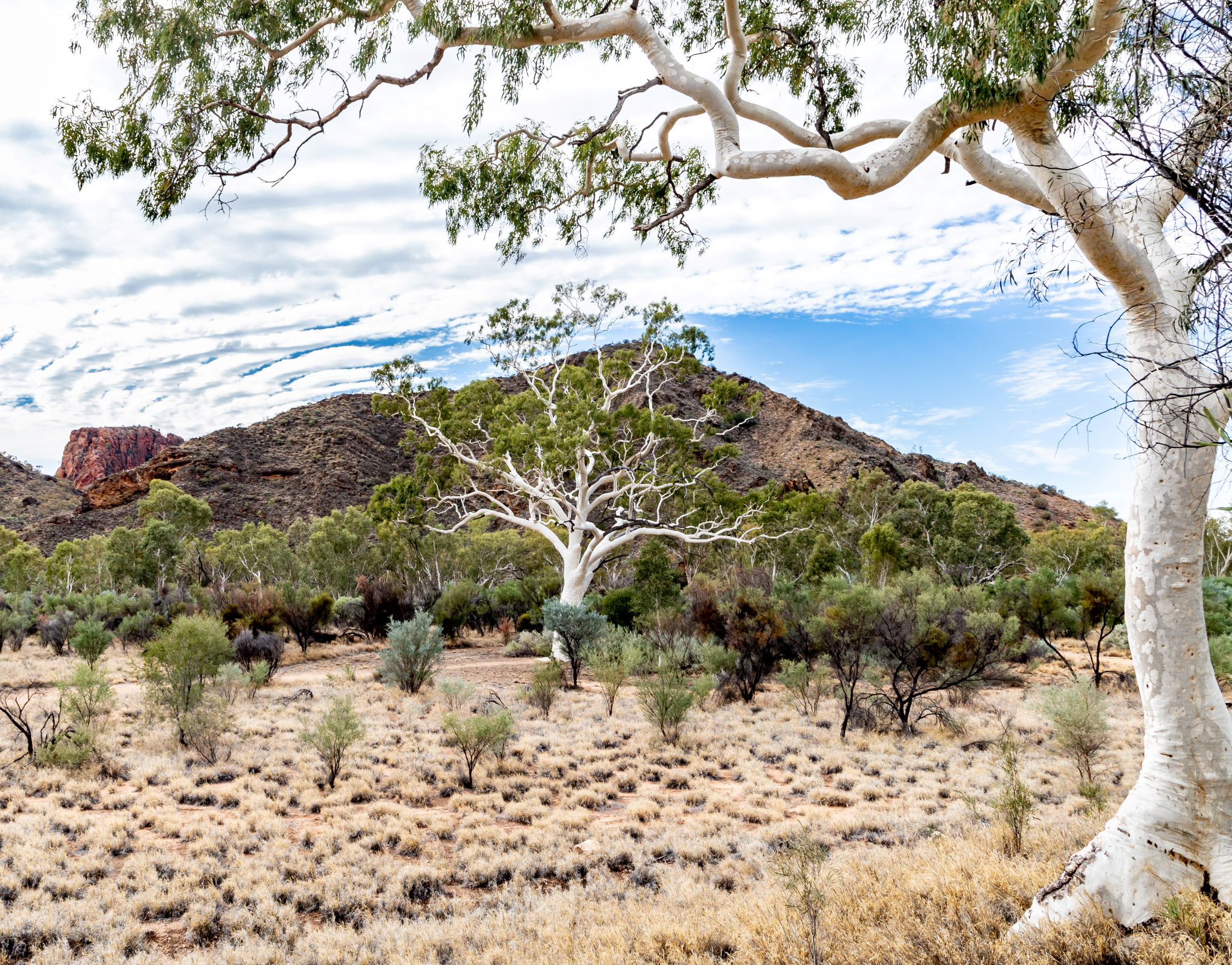
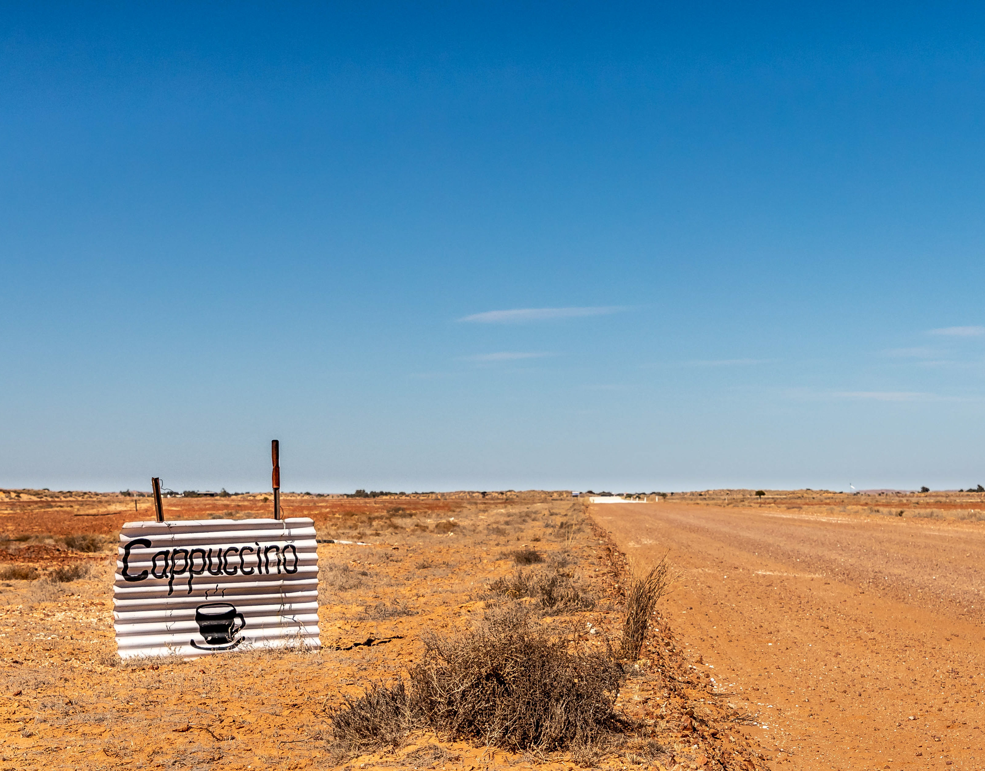
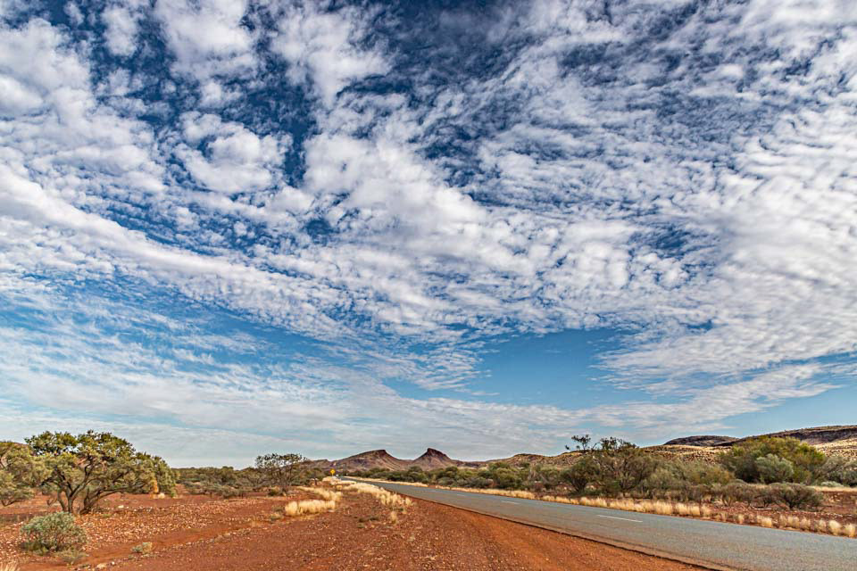
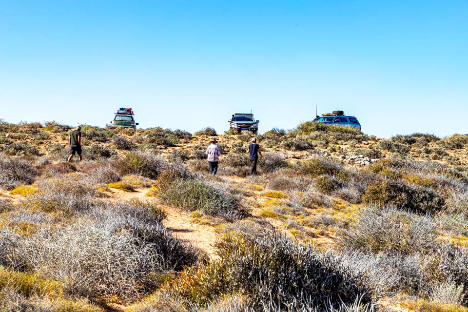
Smoko in a wide red and blue land
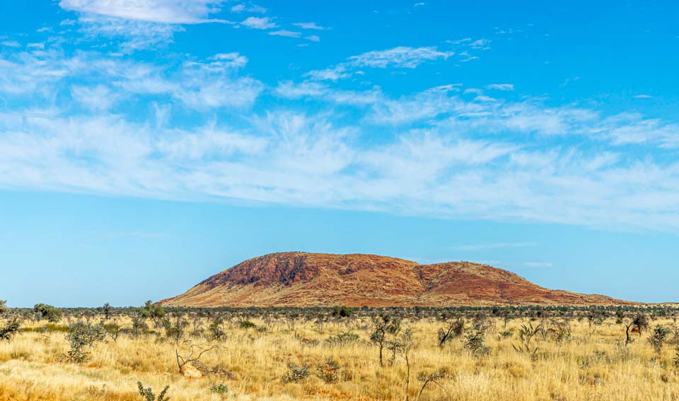
Desert and sky
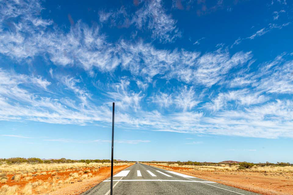
In the case of an emergency, land the Royal Flying Doctor's aircraft on the highway
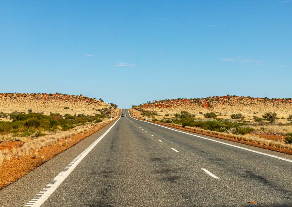
Long and straight. WA must have some of the best roads in Australia. Mining royalties help to keep the state government coffer topped up.

Cape Range National Park, Exmouth WA

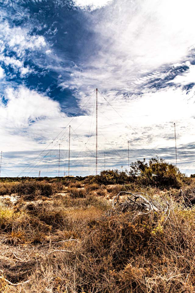
Harold E Hold Naval Communication Sation, Exmouth, WA. US and Au very low frequency transmitter and antenna station, used to communicate with US and Au submarines in the Indian and west Pacific Oceans while submerged. Largest VLF station in the world. Tower zero (1) -387 m high, Inner circle towers (6)-364m high, outer circle towers (6)-304m high). Built 1965-67. Still a joint US Au facility although now managed by Au.

Spectacular tower farm
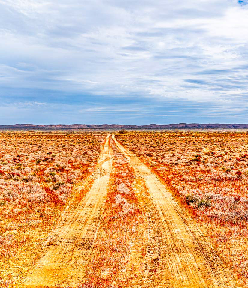
Into the desert
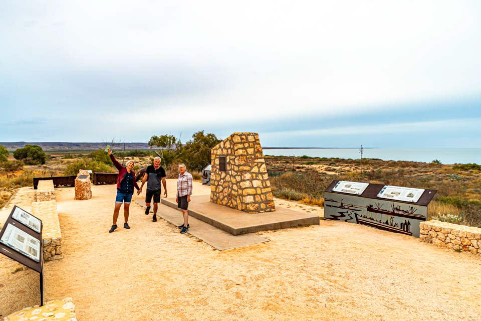
Memorial to the US and Au military presence around Exmouth in World War 2
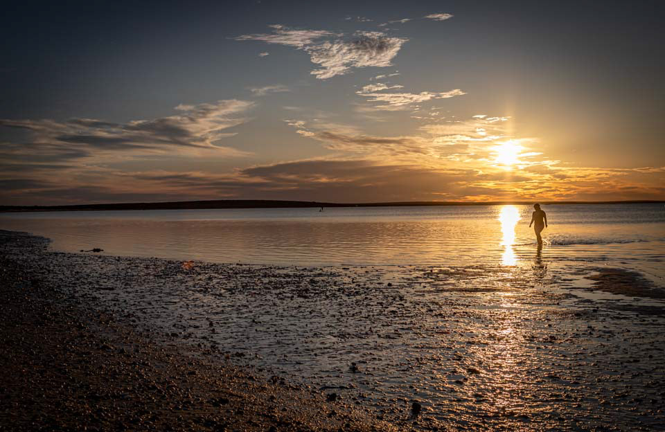
Sunset at Monkey Mia, WA

Sunset at Monkey Mia, WA
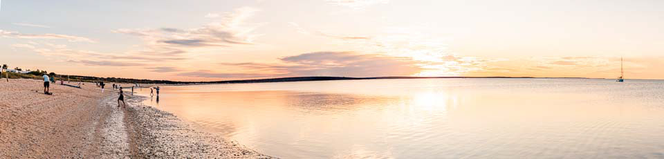
Sunset at Monkey Mia, WA
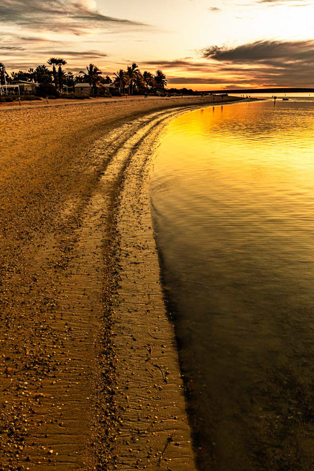
Sunset at Monkey Mia, WA
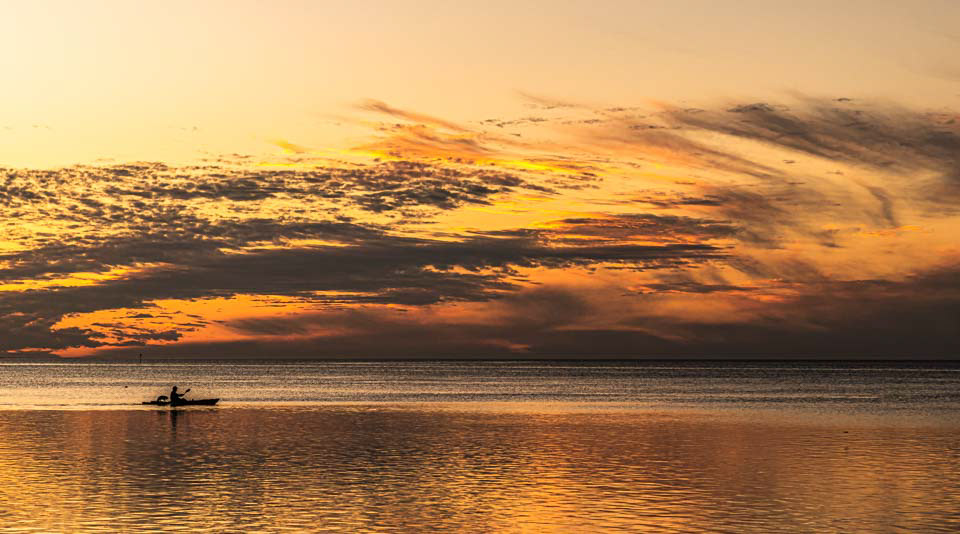
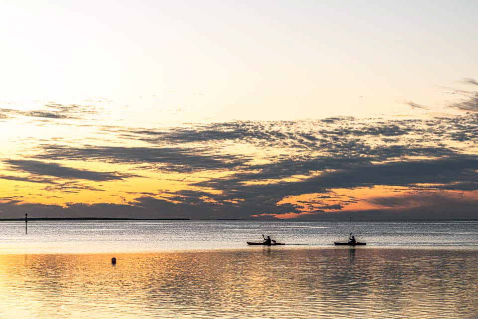
Sunset at Monkey Mia, WA

Sunset at Monkey Mia, WA
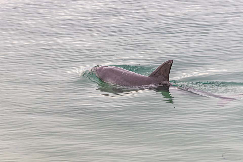
Dolphin at Monkey Mia, WA. While there is a lot of hype (tourist promotion that is) associated with the daily feeding of the dolphins, they are only allowed to be fed 10% of their body weight forcing them to wild hunt for the rest of their food. I have no problems with that, but given that only about 3 dolphins arrived for breakfast I would suggest that it is now time to close the operation down, allow the animals to 100% hunt, and put the tourists out of their misery at the same time.
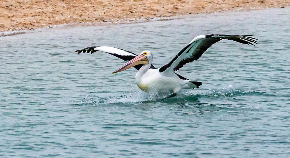
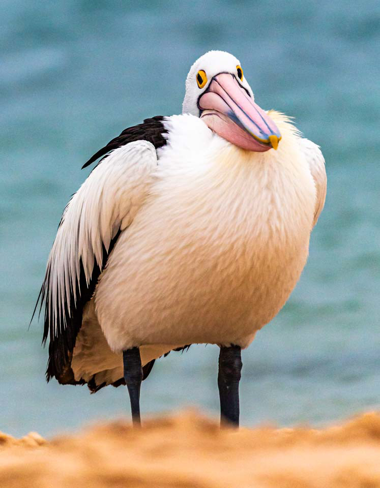
Beautiful pelican
Torquiose waters at Monkey Mia, WA
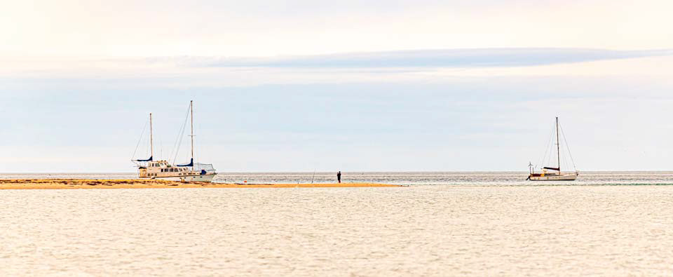
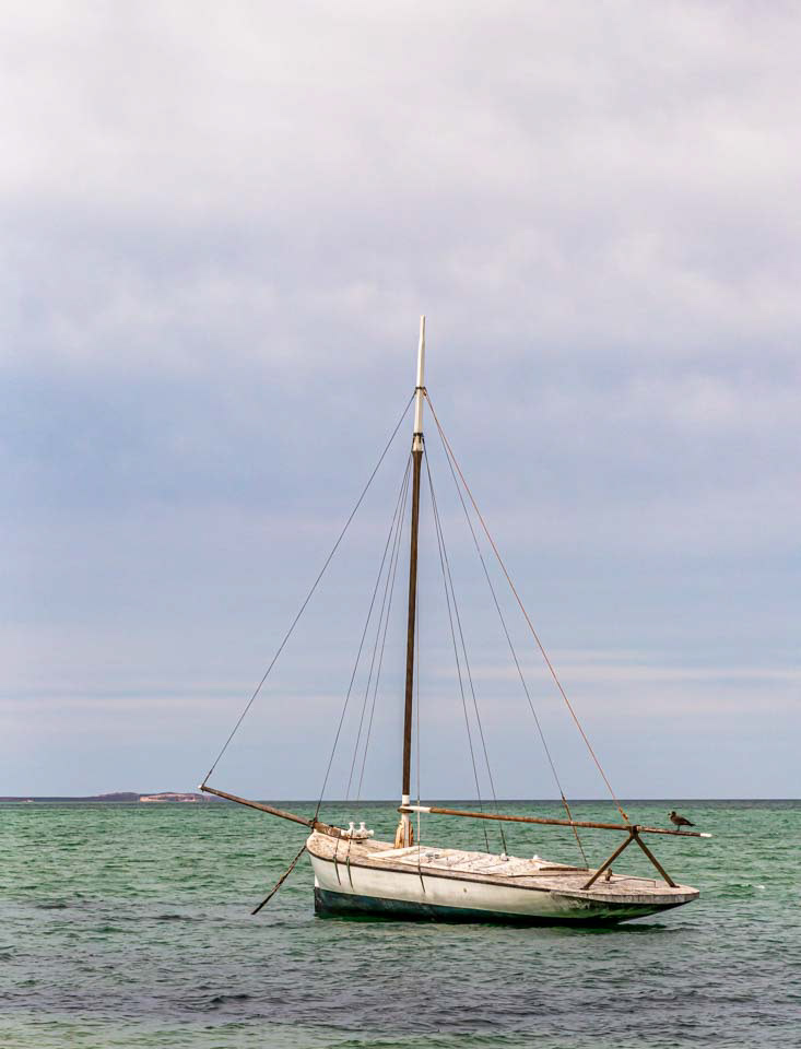
Vintage pearling lugger anchored off the town of Denham, Monkey Mia,
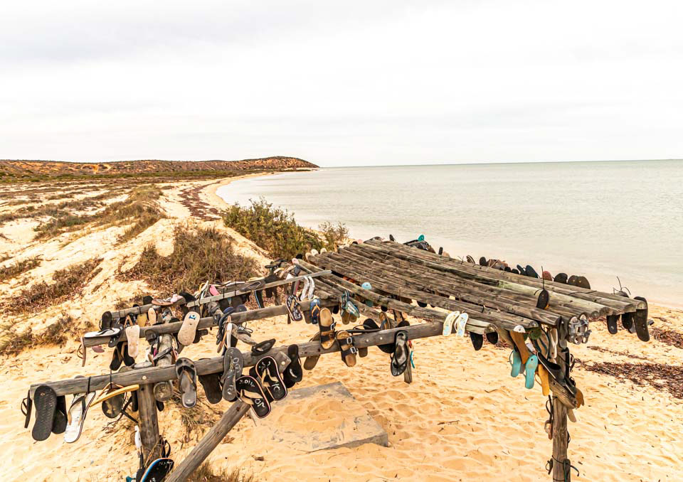
Thong tree, Eagle Bluff Lookout, Francois Peron National Park, south of Monkey Mia, WA

Eagle Bluff Lookout, Francois Peron National Park, south of Monkey Mia, WA
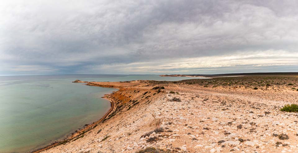
Eagle Bluff Lookout, Francois Peron National Park, south of Monkey Mia, WA
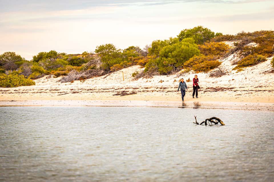
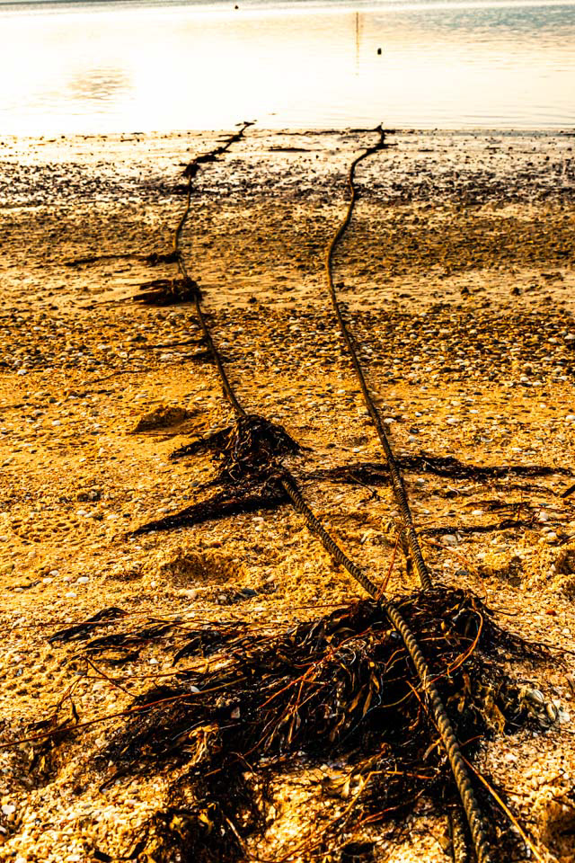
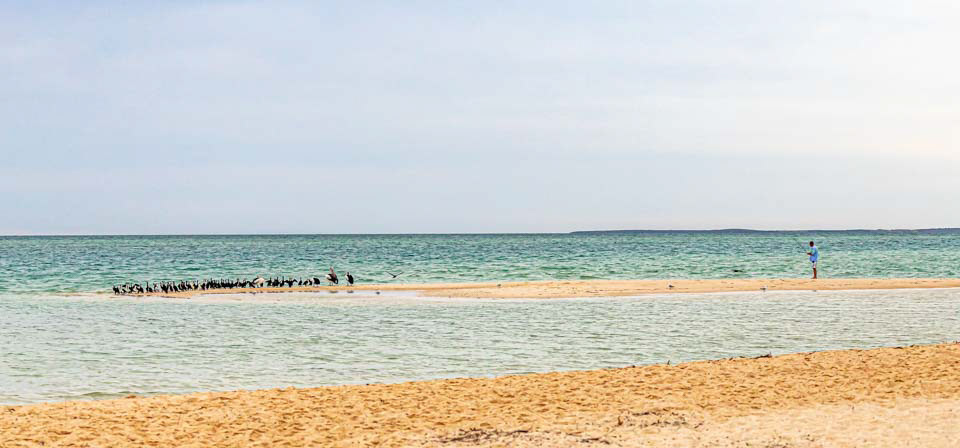
Beach walk, Monkey Mia, WA

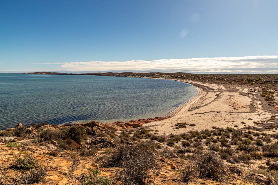
Whale Bone Point, south of Monkey Mia, WA
Whale Bone Point, south of Monkey Mia, WA

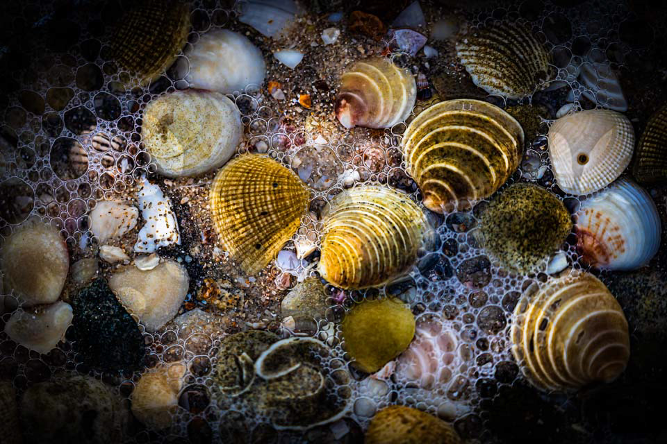
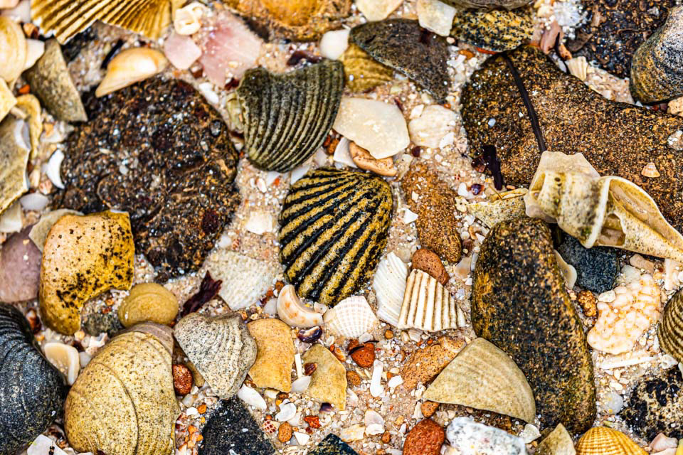
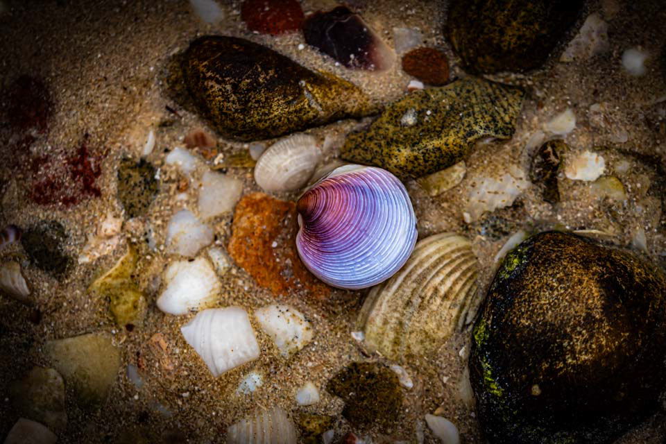
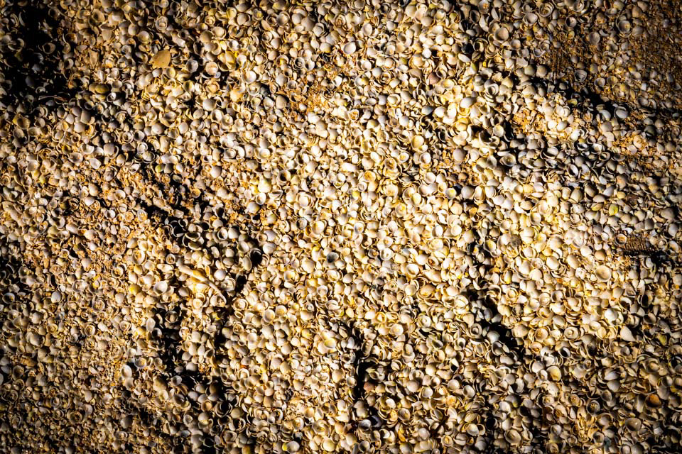
Shell Beach comprising millions of small shells, appparently up to 9 m deep.

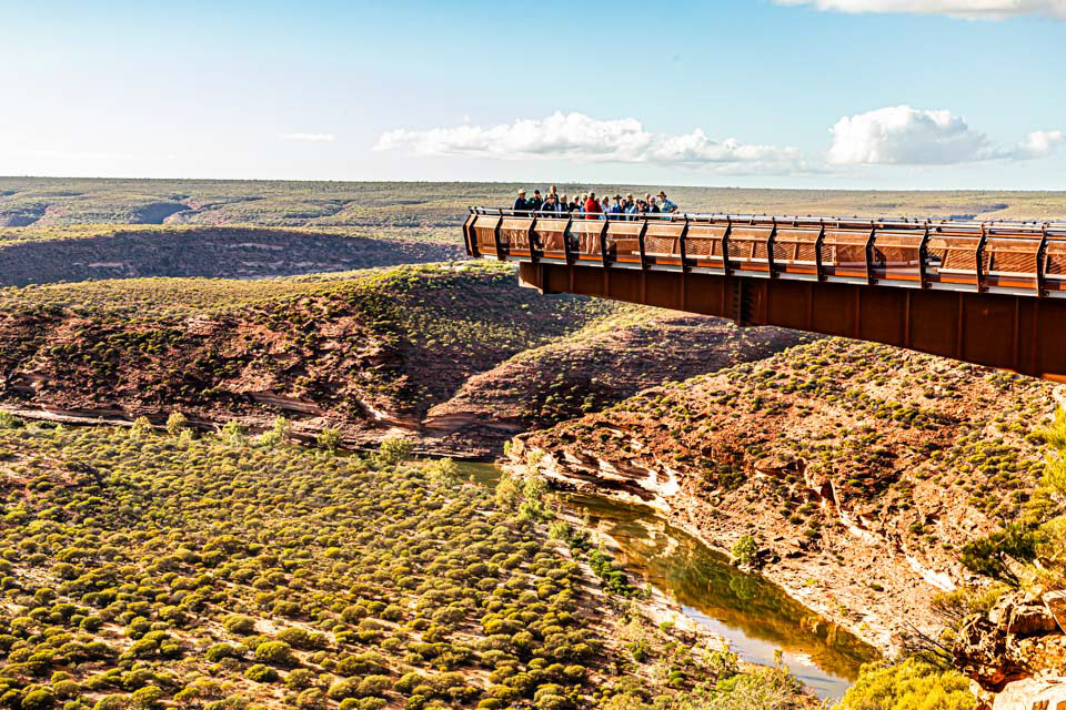
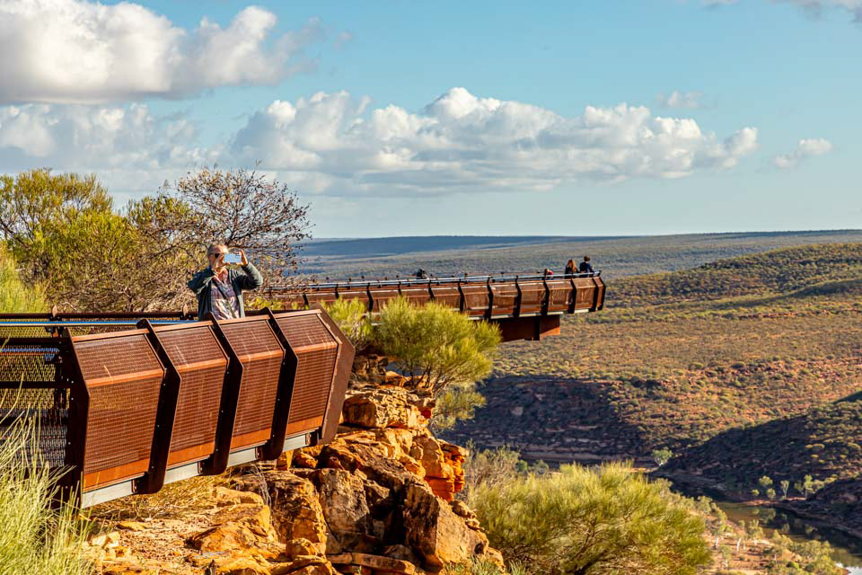
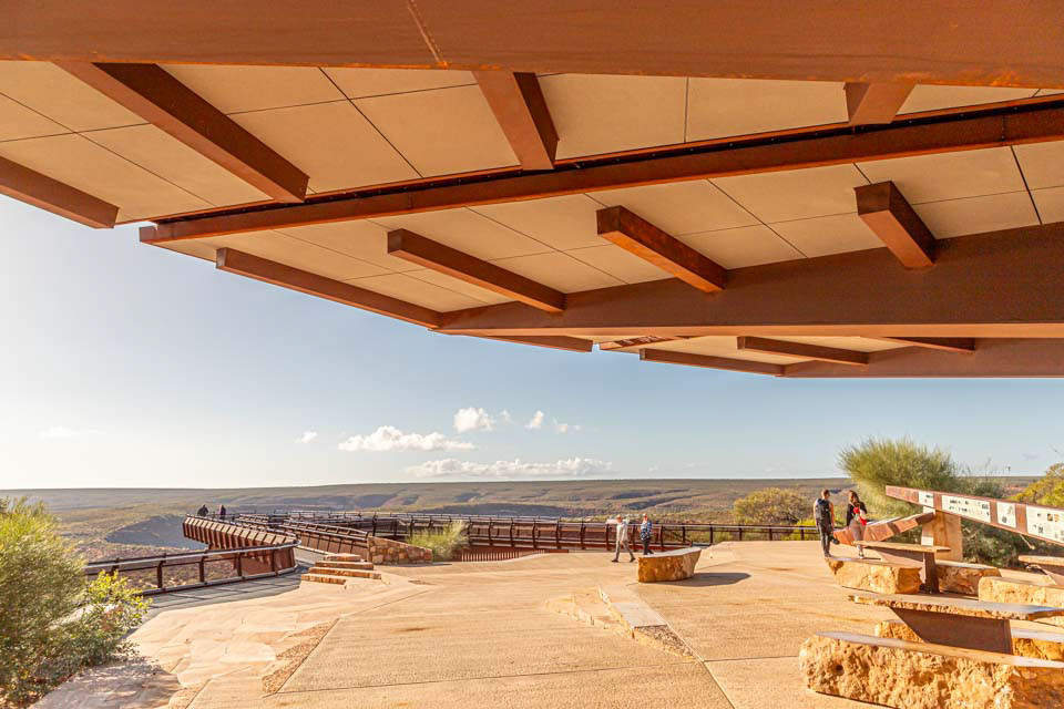
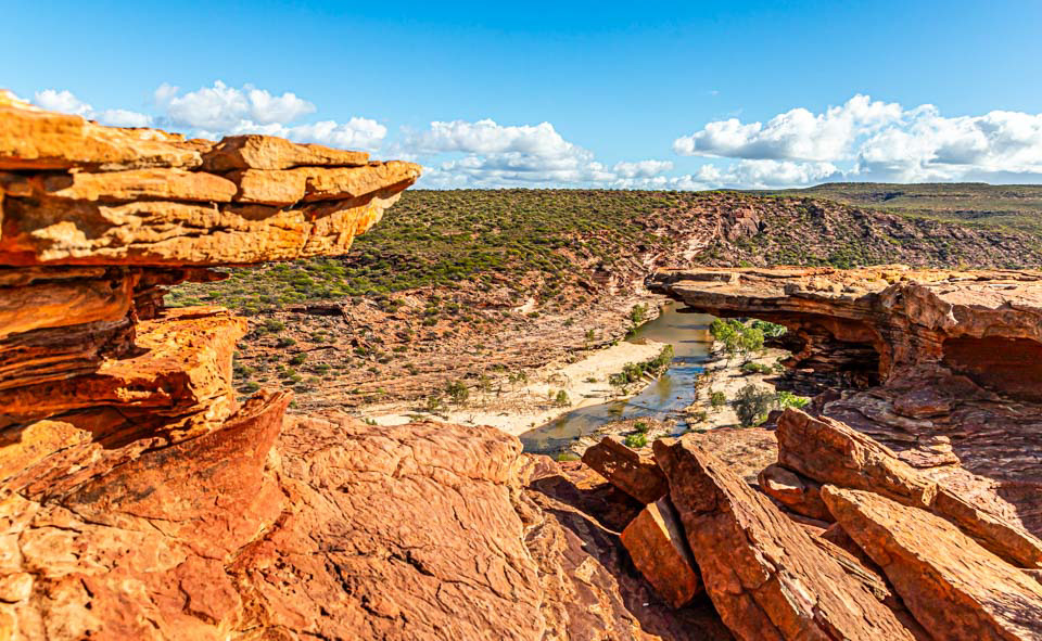
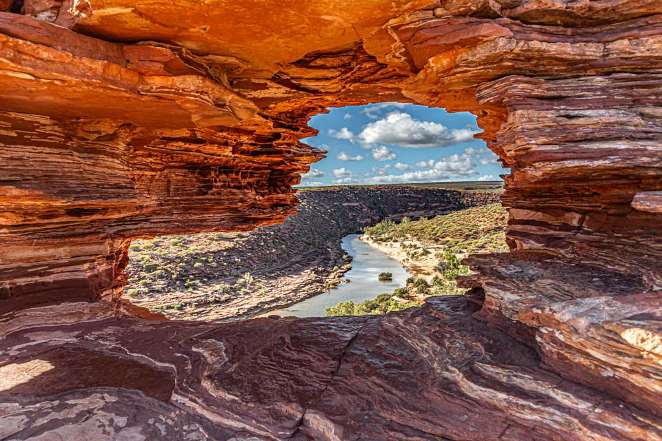
Kalbarri Sky Walk. A spectacular steel lookout overlooking the Murchison River Gorge, part of the Kalbarri National Park. The sky walk cost in excess of $20 million (including the access road of around 20 km) and going by the visitor numbers, it is very popular.


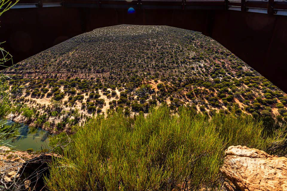
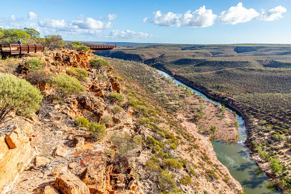
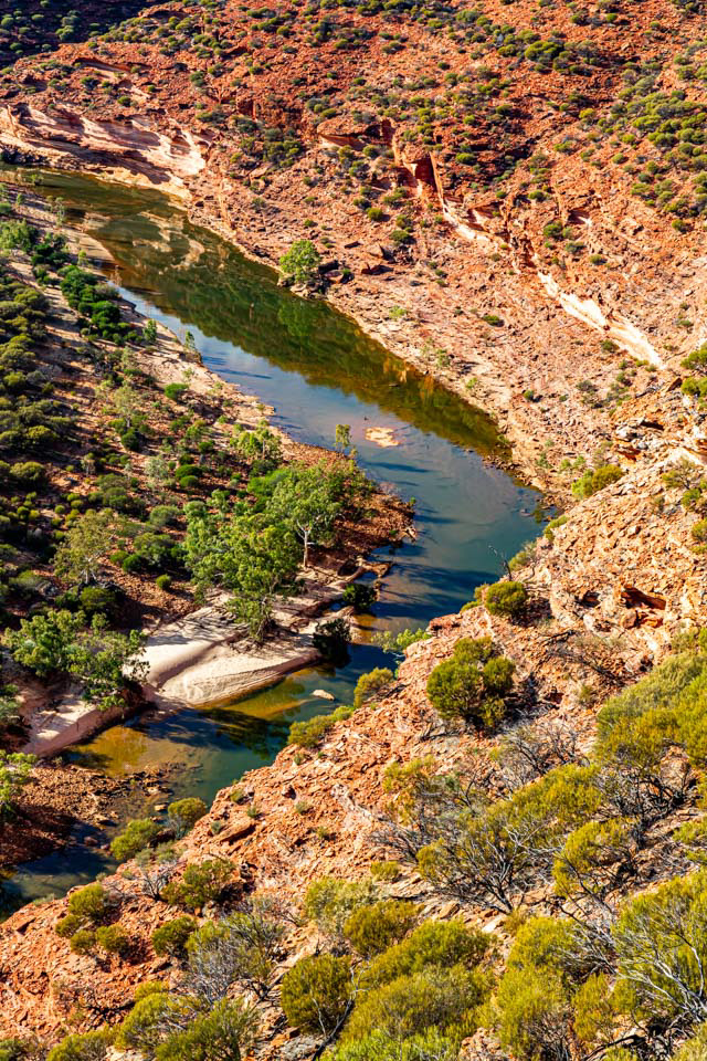
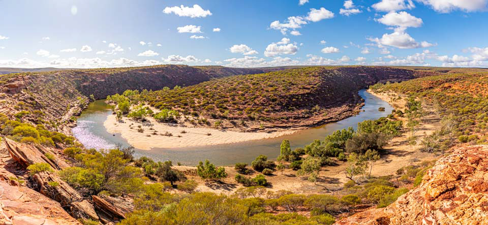
The Murchison River flows into Gantheaume Bay at the town of Kalbarri
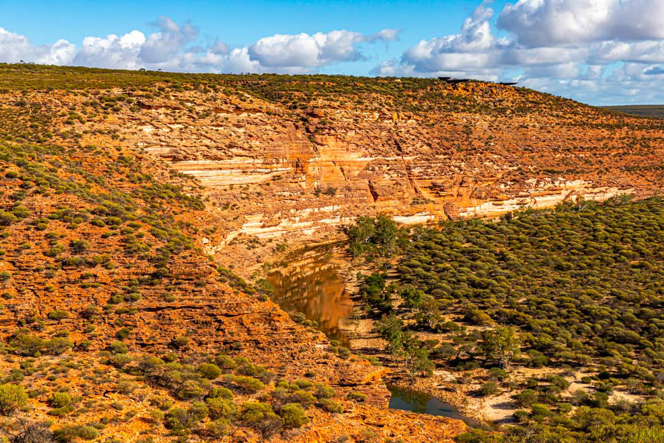


Z Bend, Kalbarri National Park
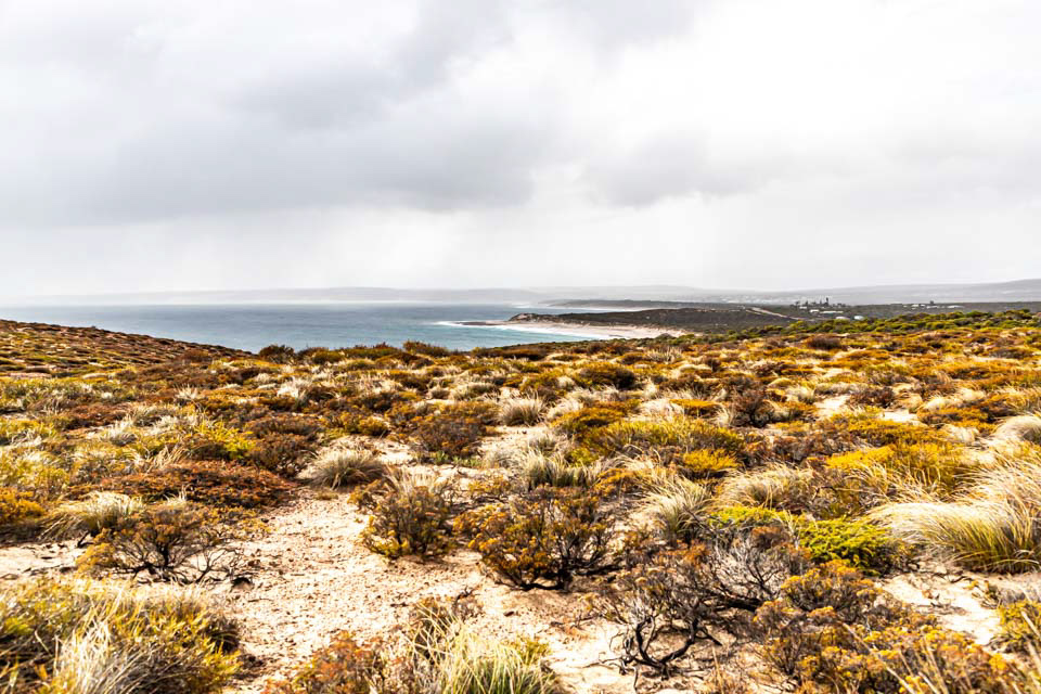


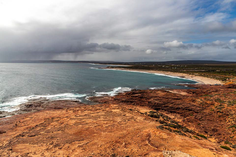
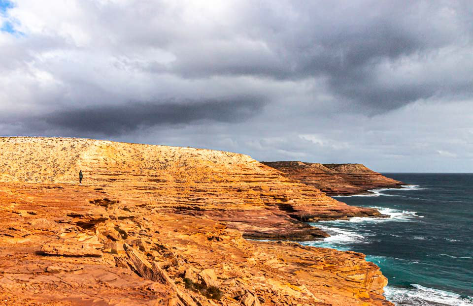
Red Bluff Lookout, south of Kalbarri township
Pot Alley, south of Kalbarri township
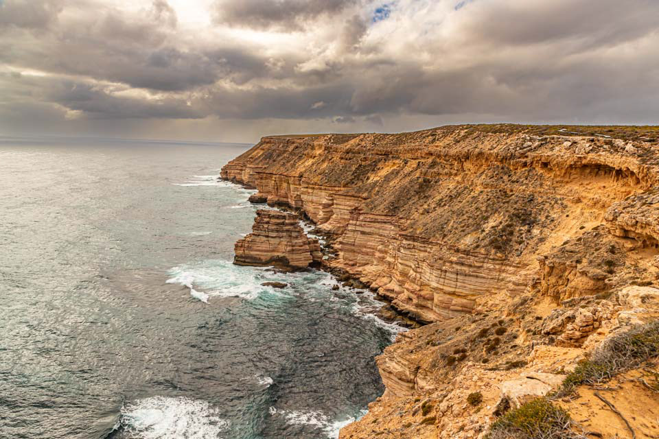
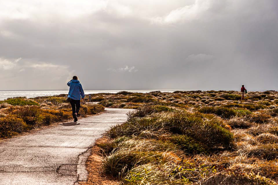
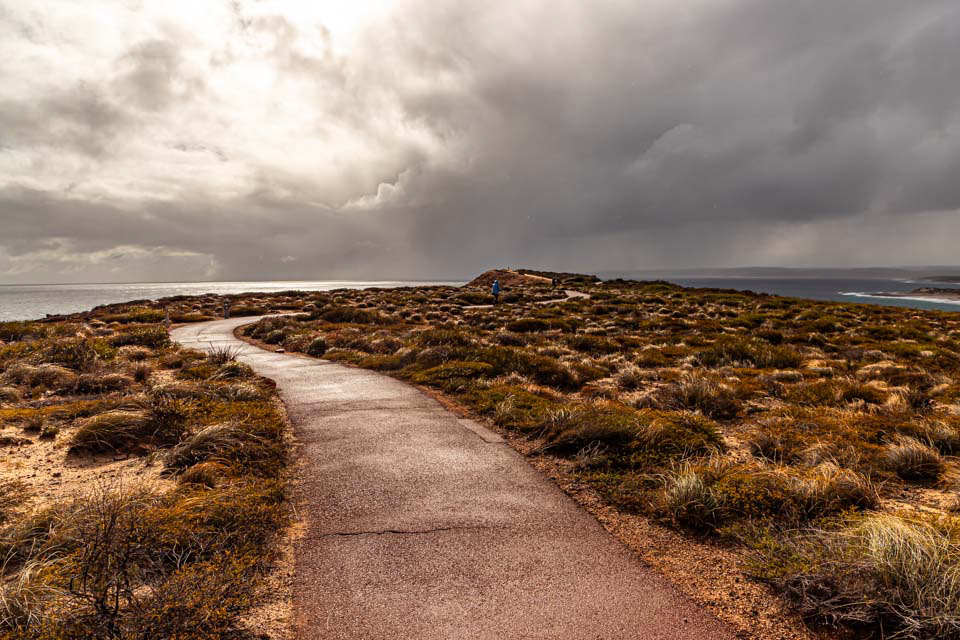
Near Island Rock, south of Kalbarri township
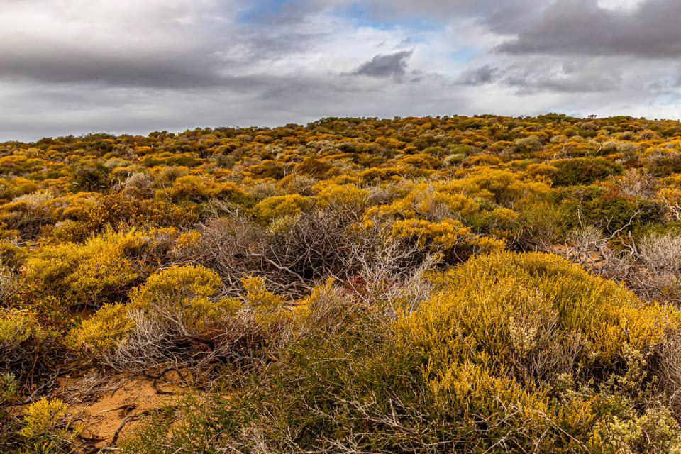
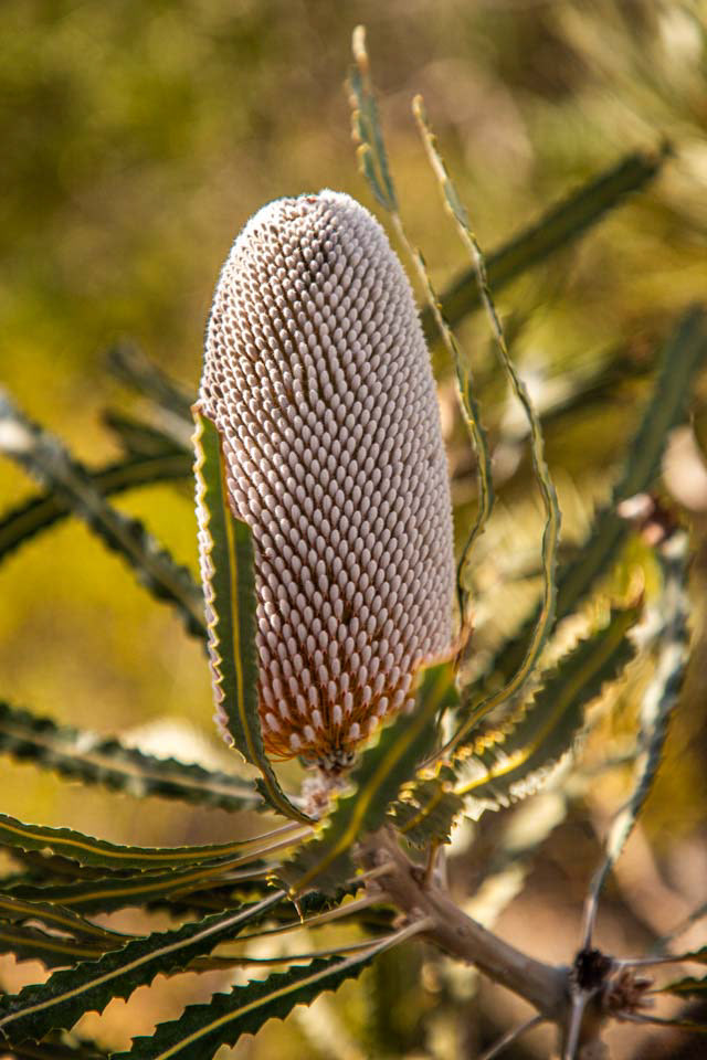
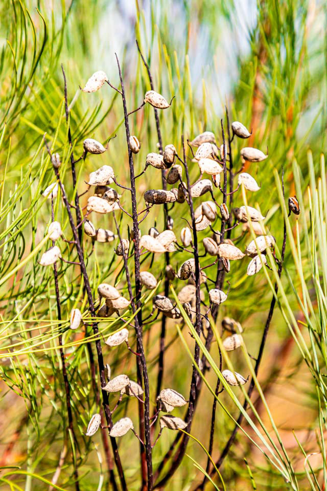
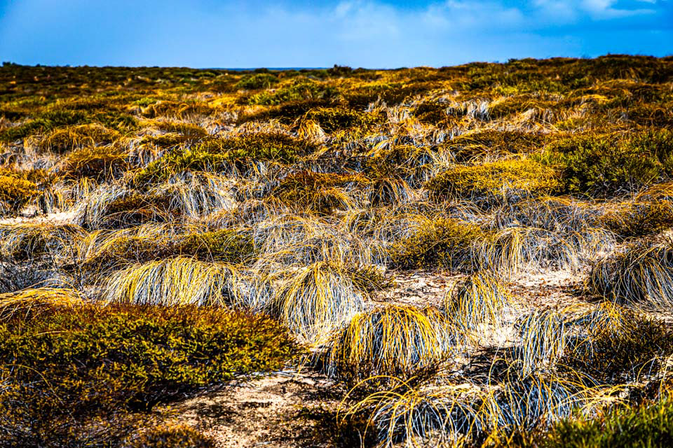
Cliff top native vegetation, south of Kalbarri township
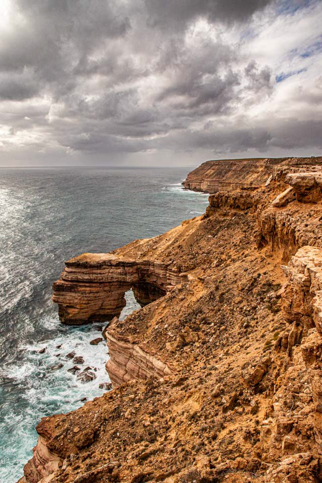
Natural Bridge, south of Kalbarri
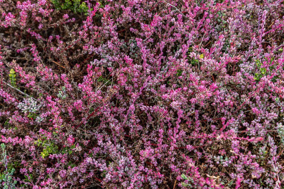
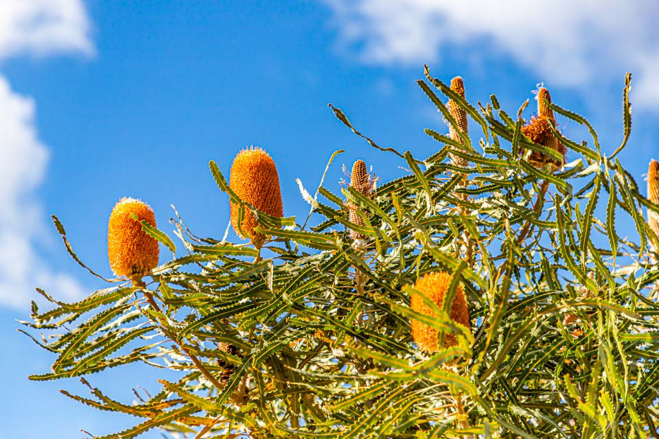
Cliff top native vegetation, south of Kalbarri

Striding out, Natural Bridge, south of Kalbarri

Sunset, Jurian Bay, noorth of Cervantes, WA


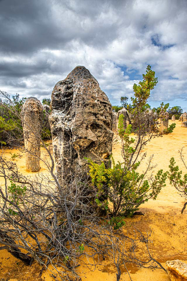
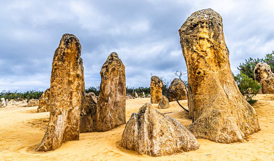
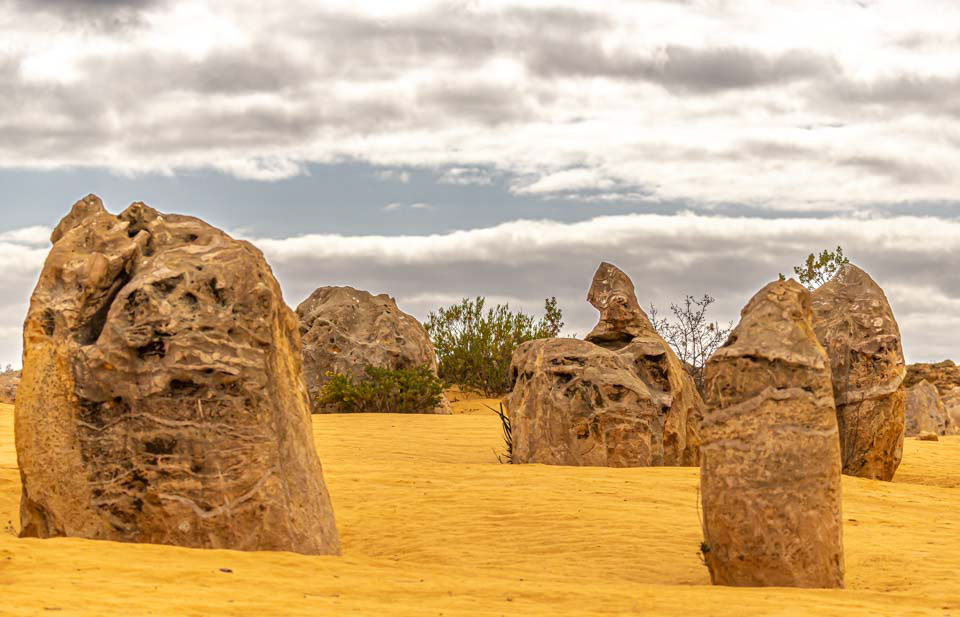
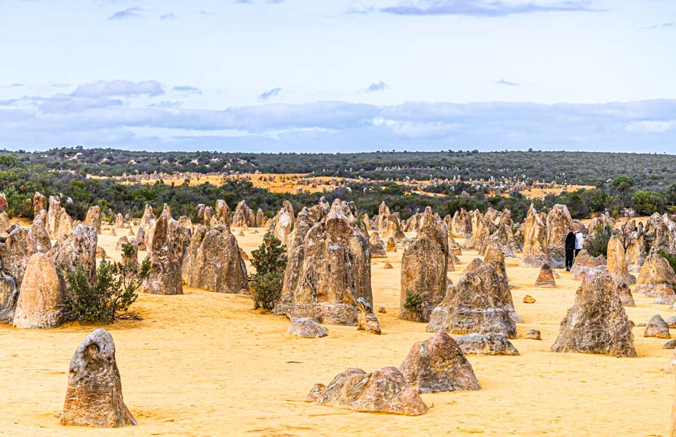
The Pinnacles, south of Cervantes, WA