Taking the Bernina Express from Tirano on the Italian side of the Swiss border to Tiefencastel, about 3 hours away in the Swiss Alps.
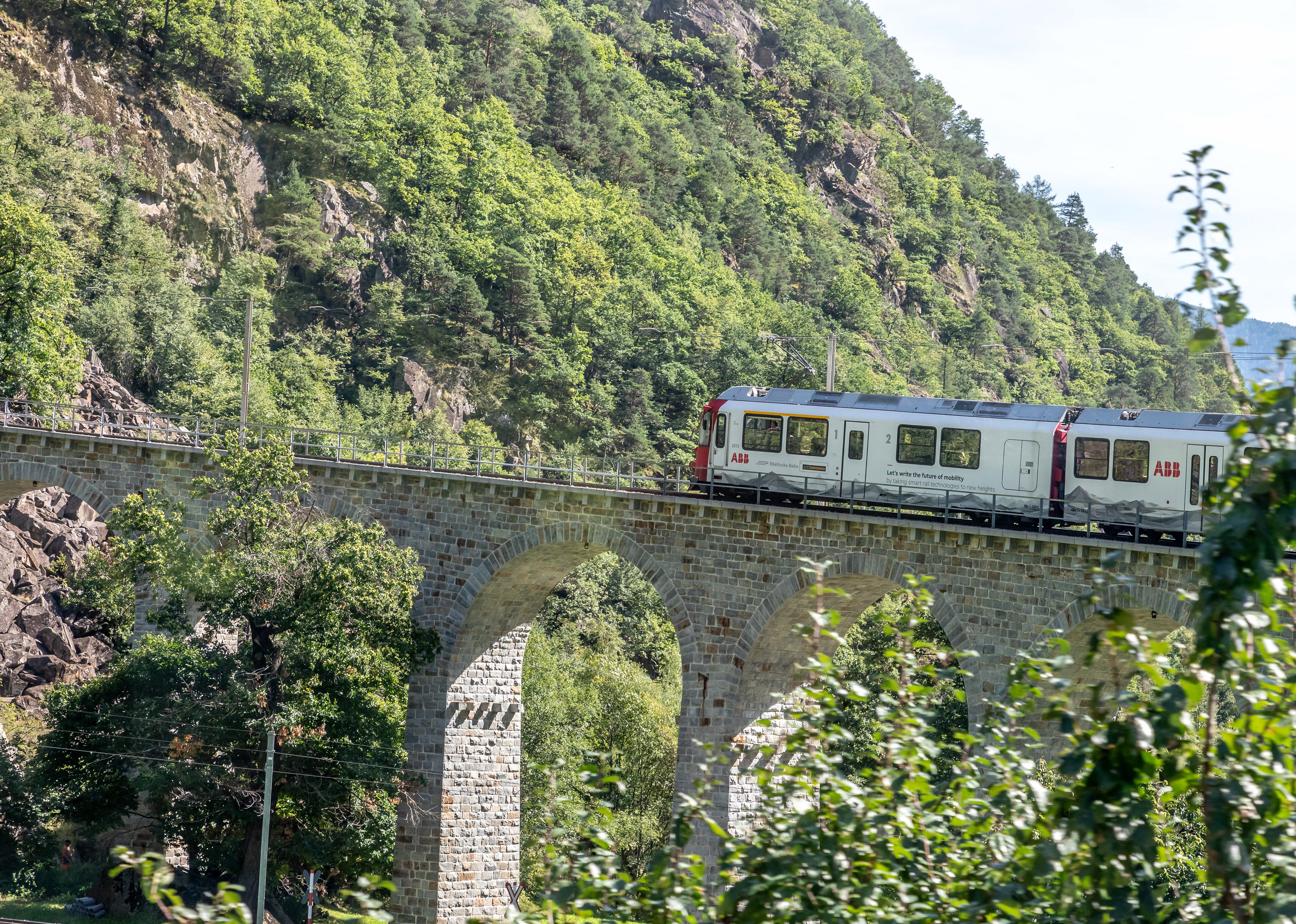
The first of many viaducts on the scenic route across the Alps
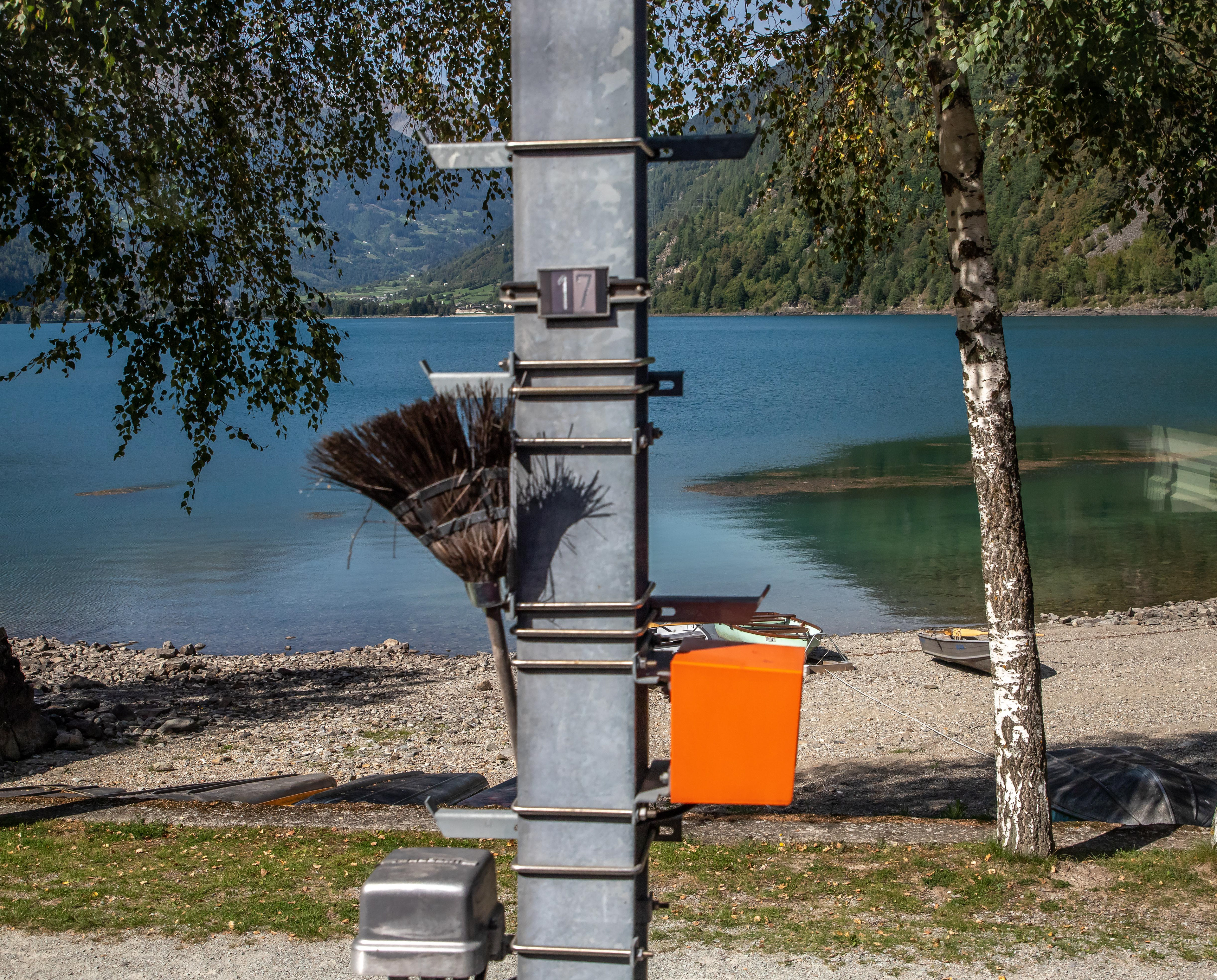
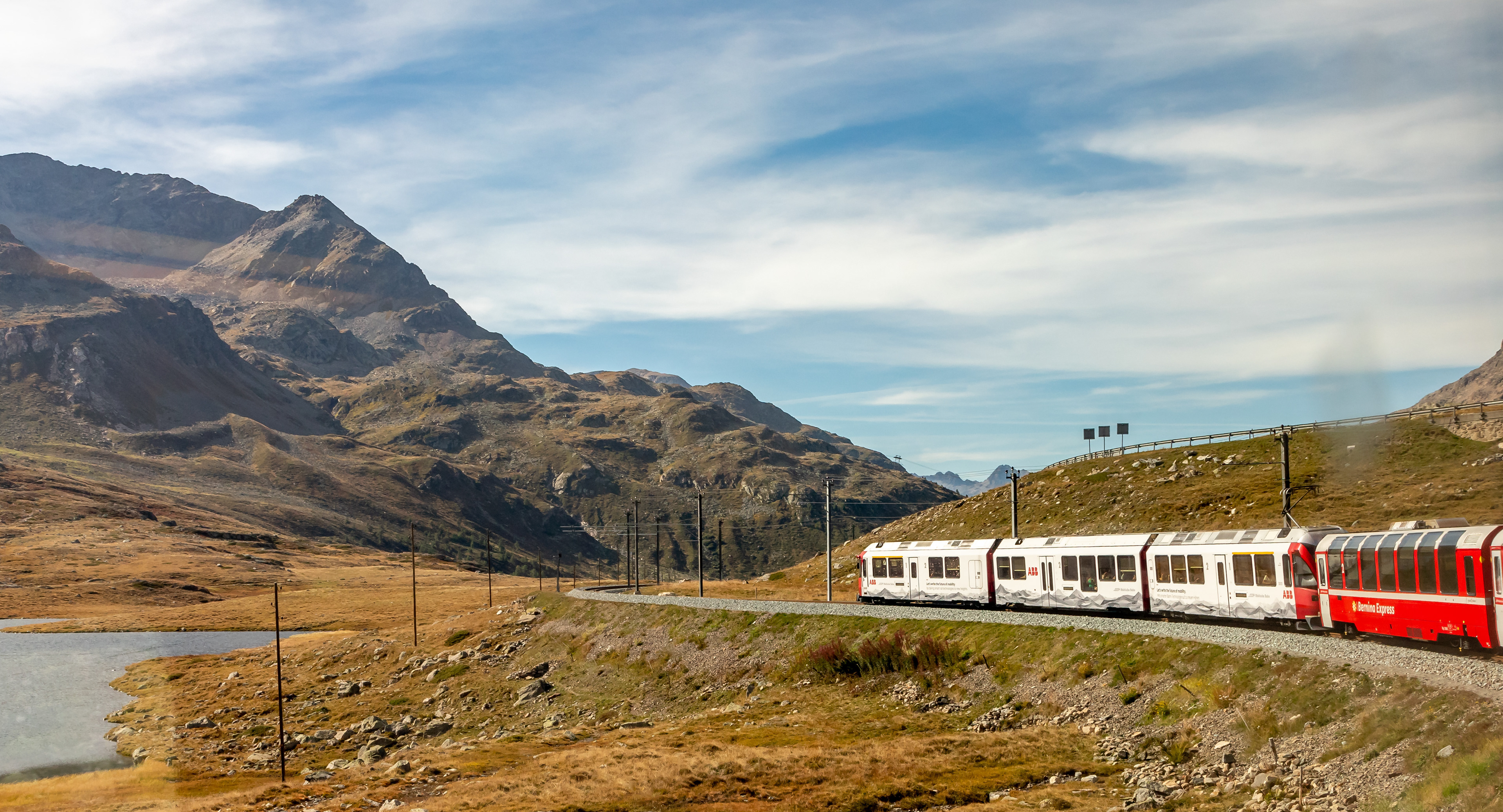
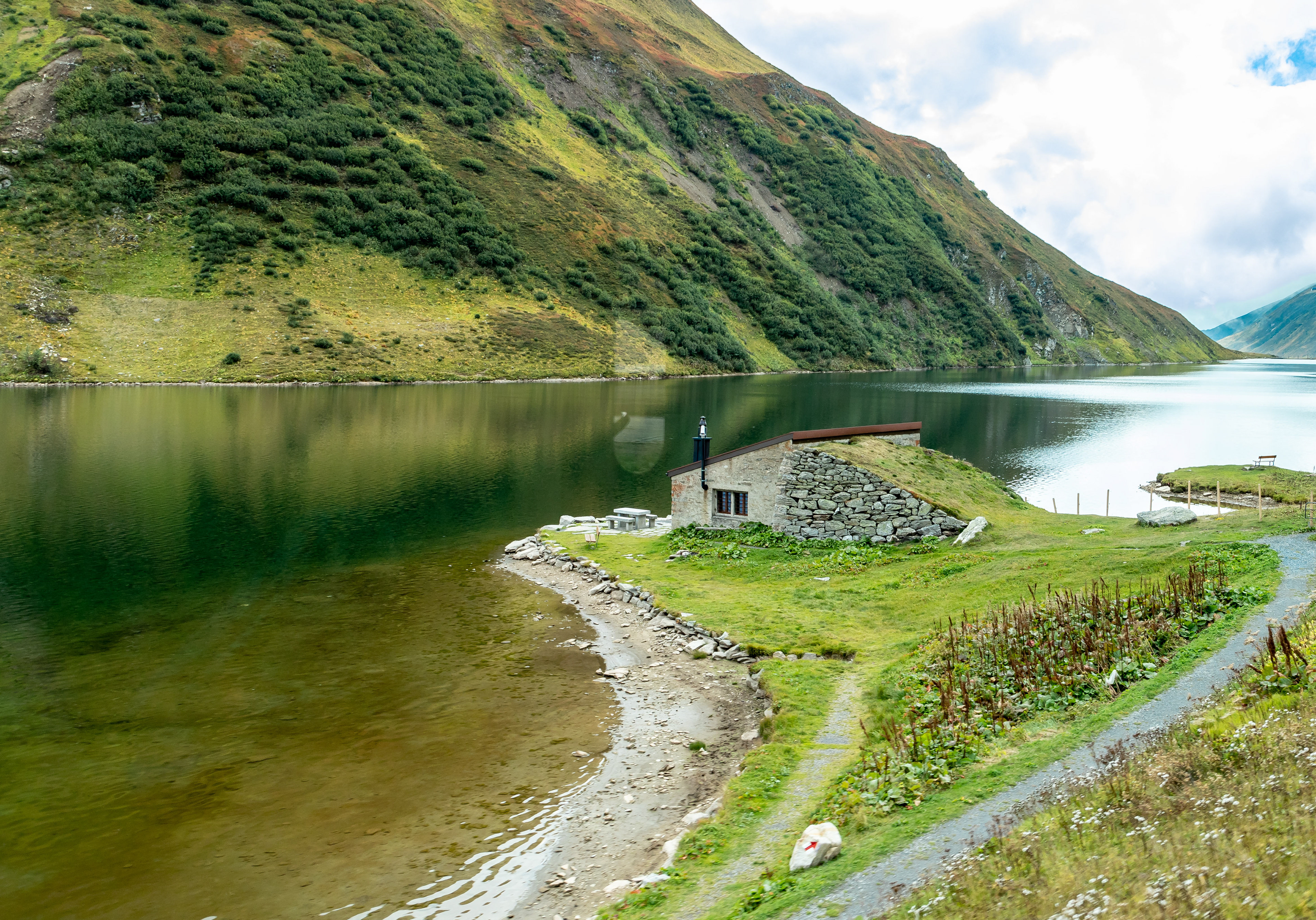
A Swiss Rail broom. I was trying to capture the beauty of the lake behind. While the Bernina Express, in first class anyway, is a great train to see the scenery, it is not a venue conducive to good photography as the windows are unable to be opened and the glass is polarised and reflective. Next time I would be choosing a different train.
Heading down into the town of San Carlo, Poschiavo, Graubunden, Switzerland
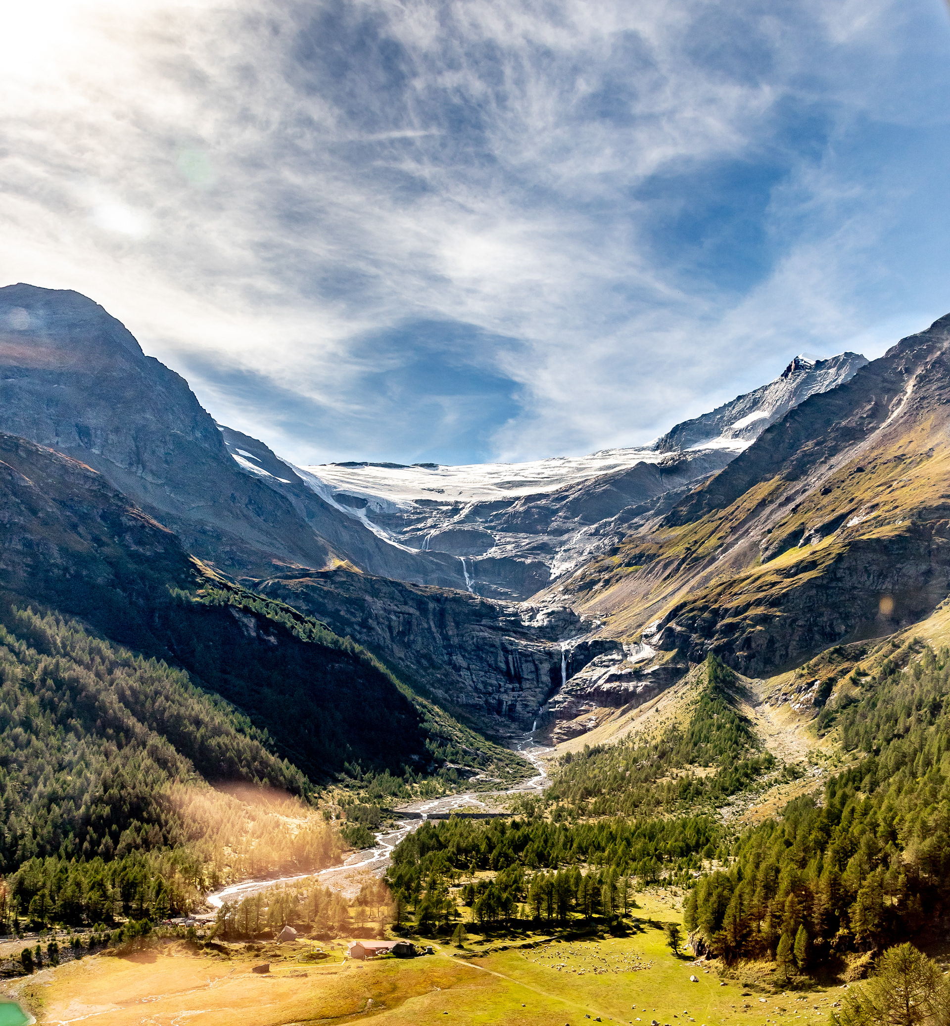
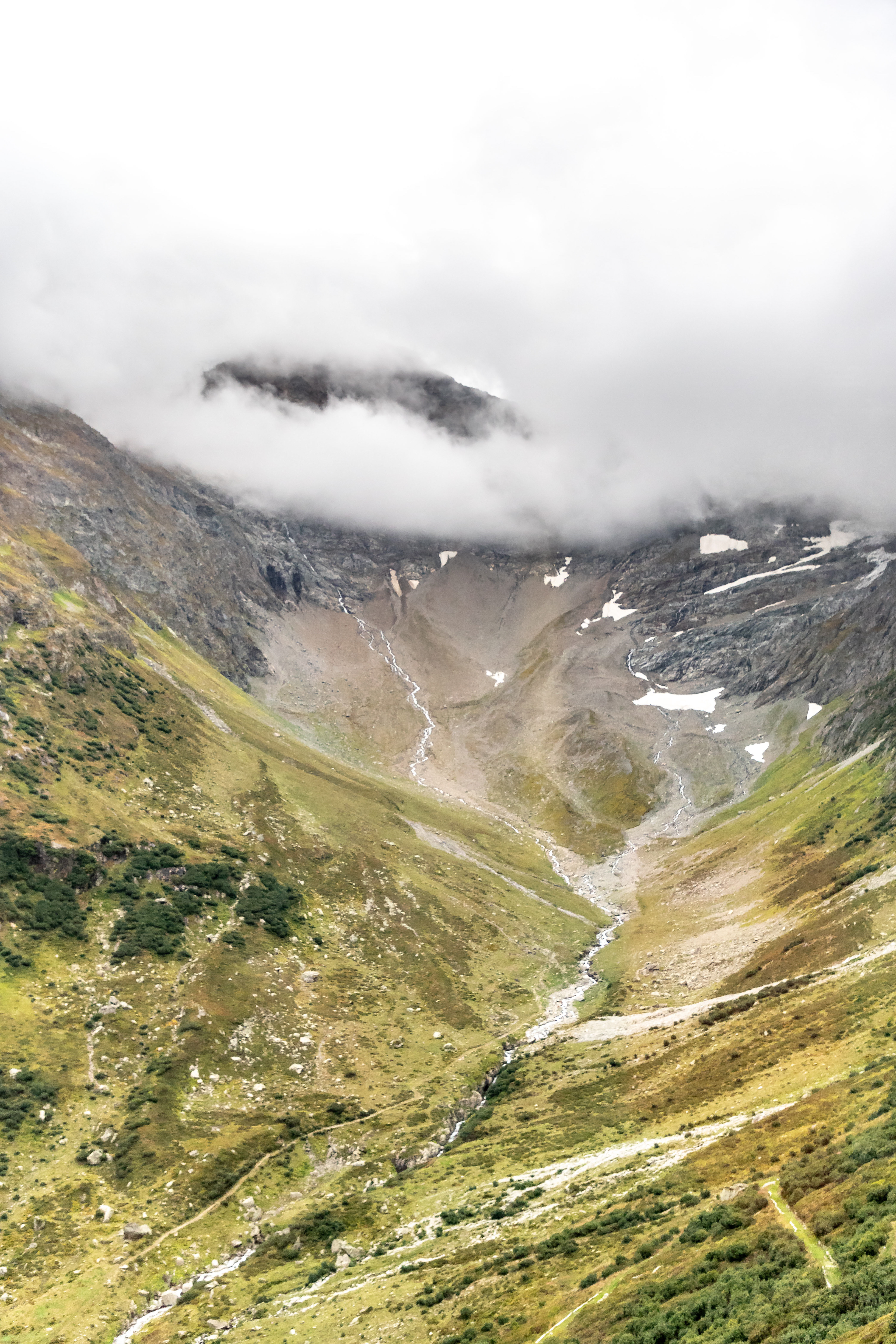
Alp Grum glacier
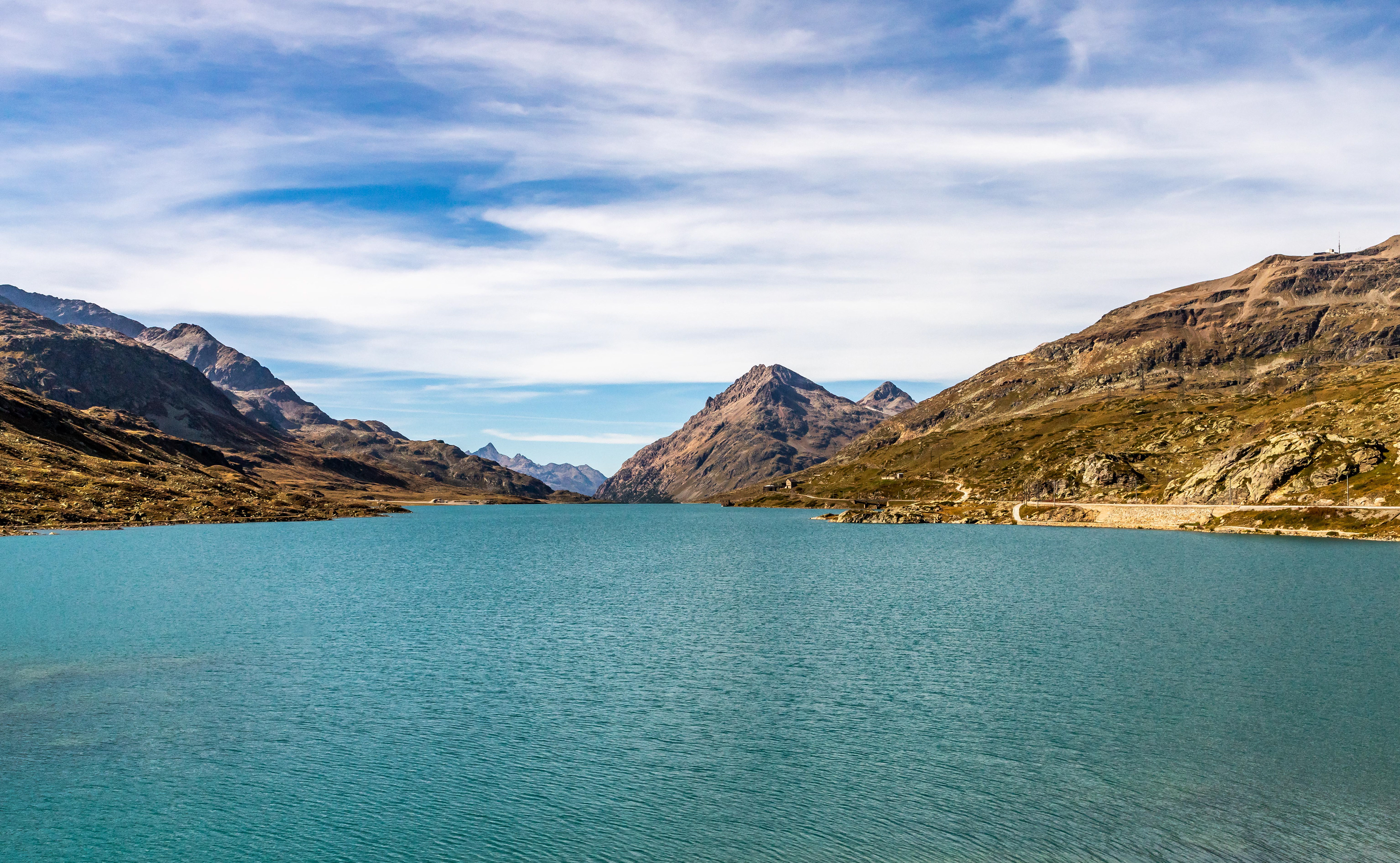
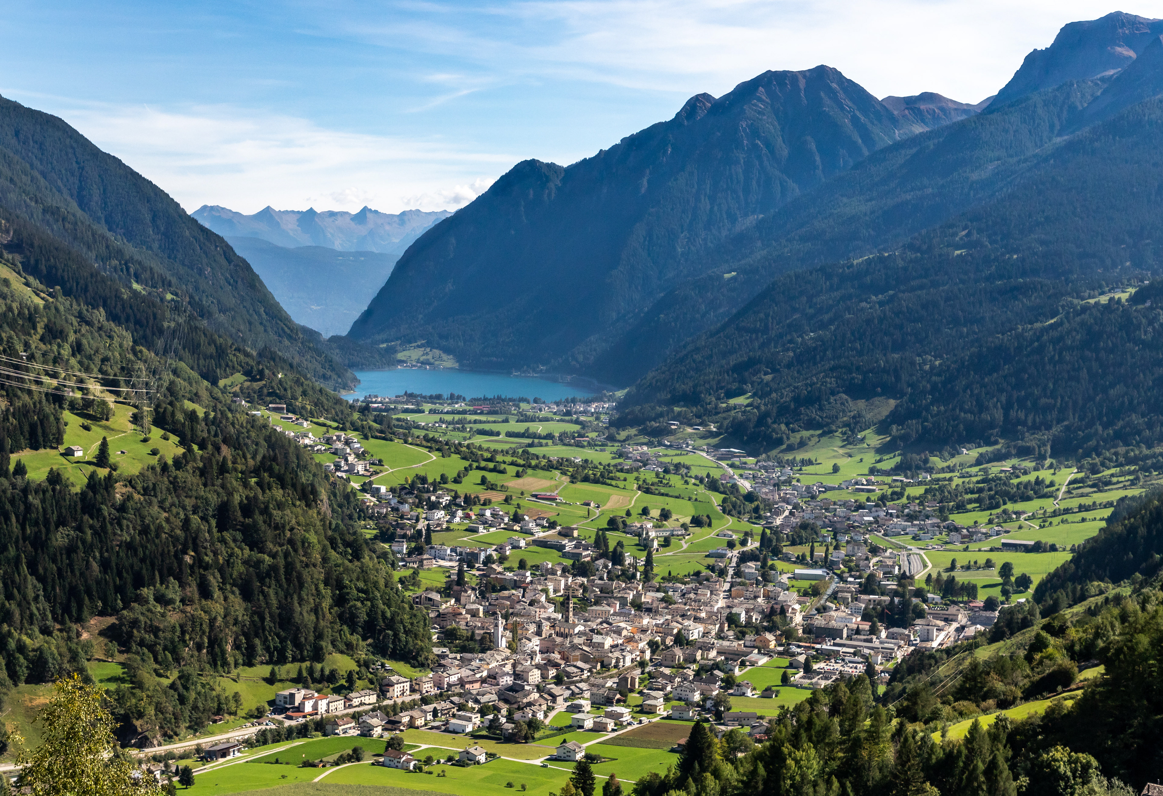
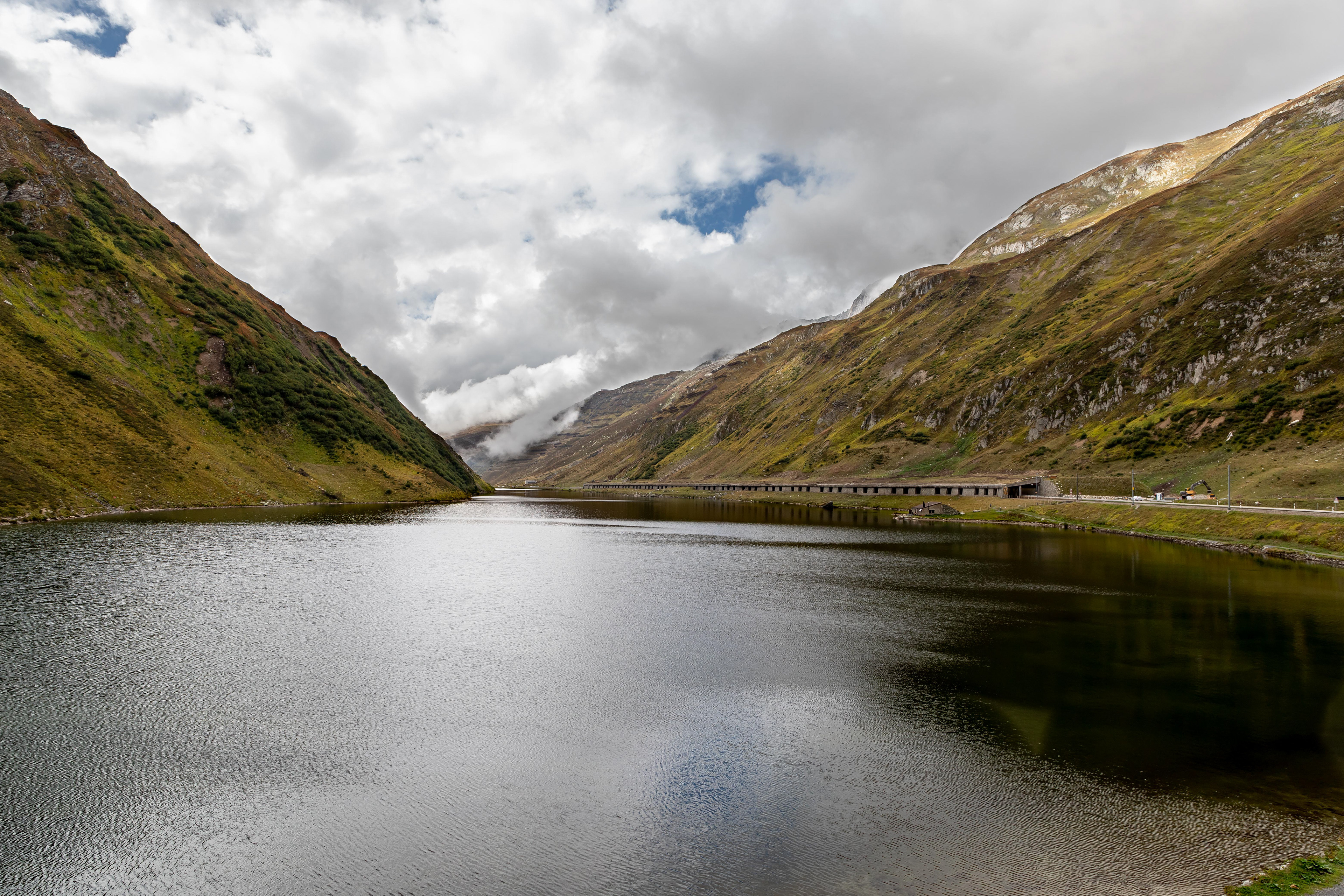
Lago Bianco is a man-made lake, part of a hydro system. it is at the highest point of the Bernina Pass at 2234 m. To the east, the waters flow into the Black Sea and to the south, into the Adriatic.
We continued on the Bernina Express to the small village of Tiefencastel, selected from the map as being nicely in the mountains for some enjoyable walking.
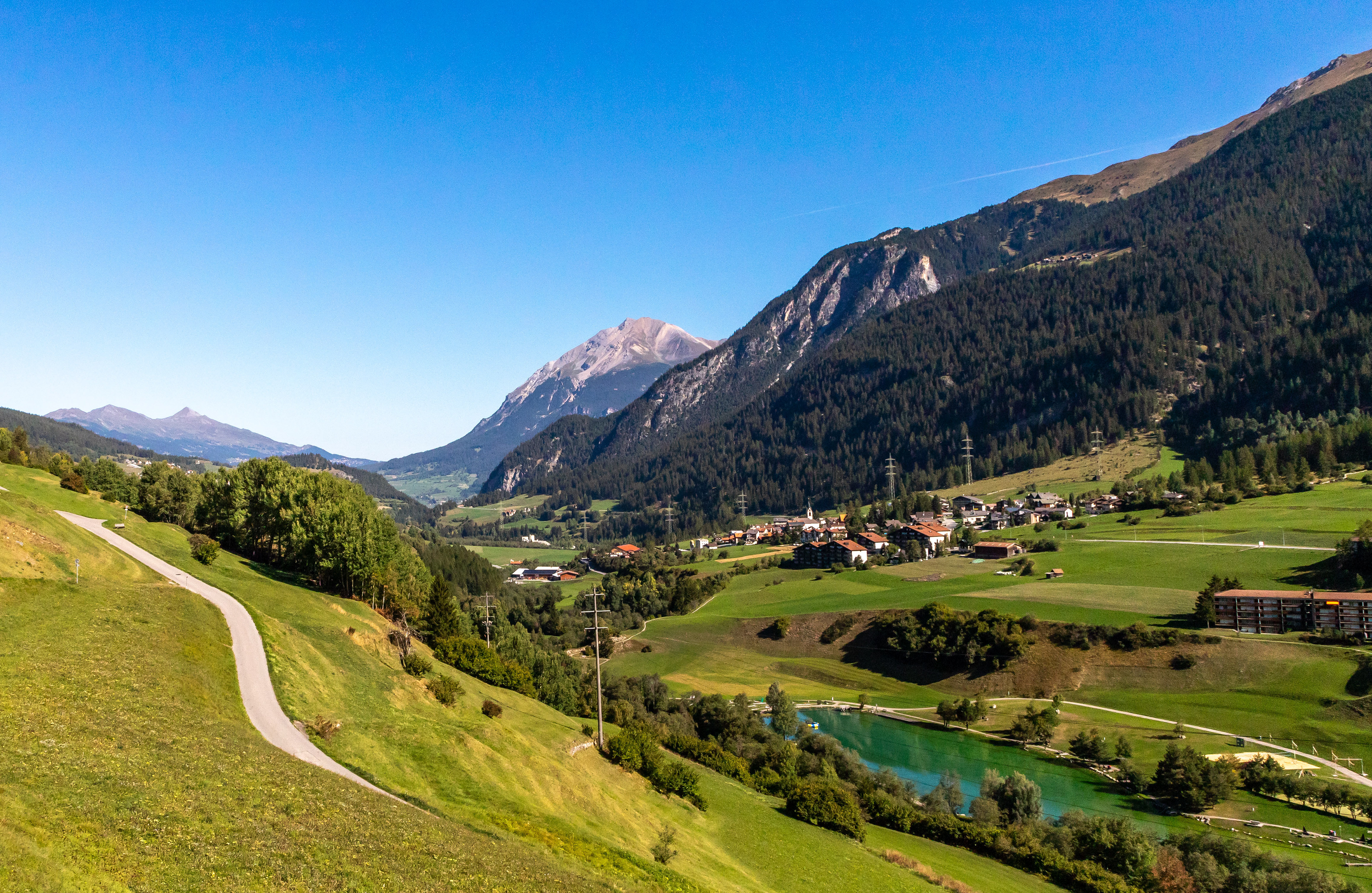
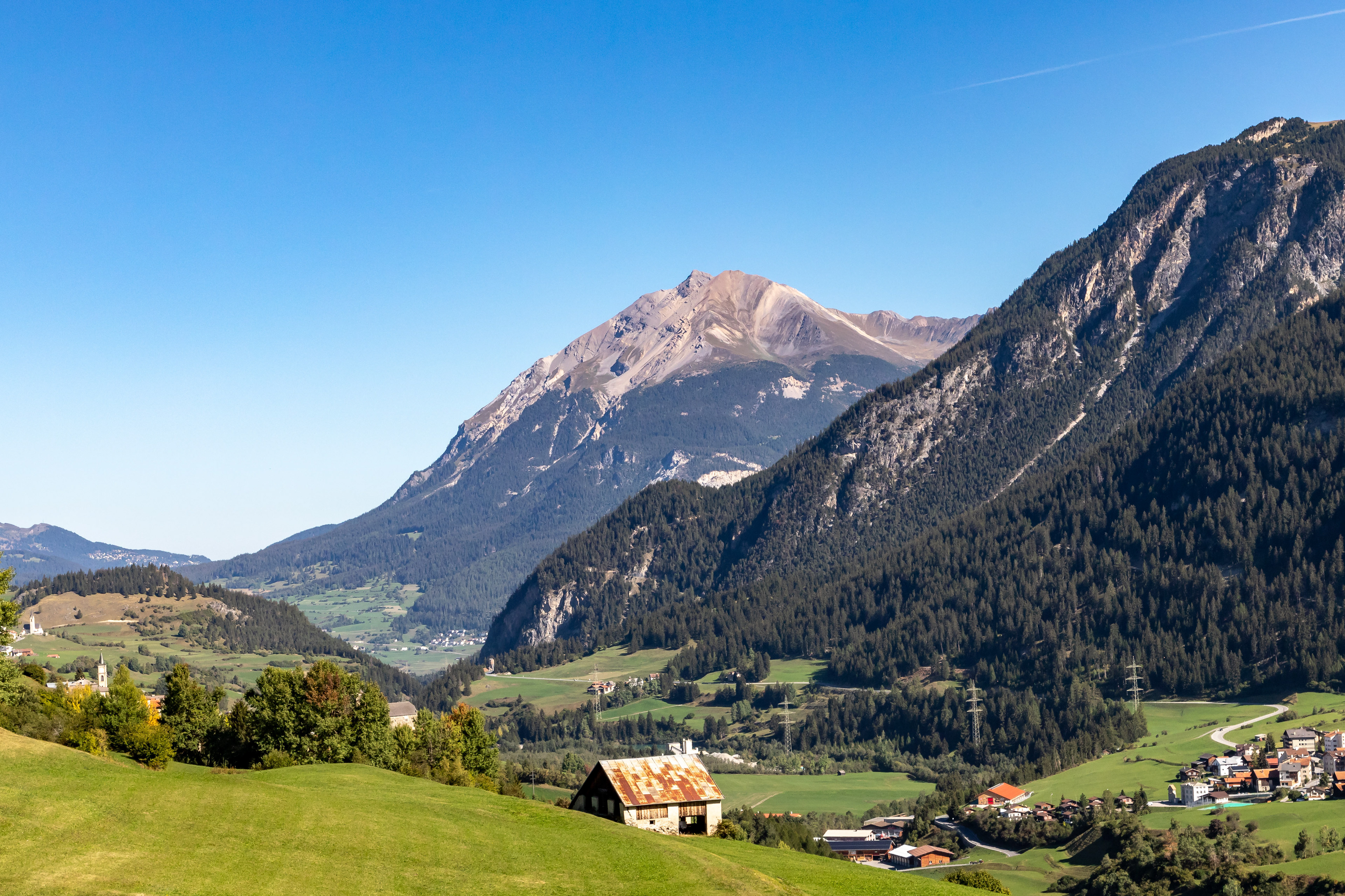
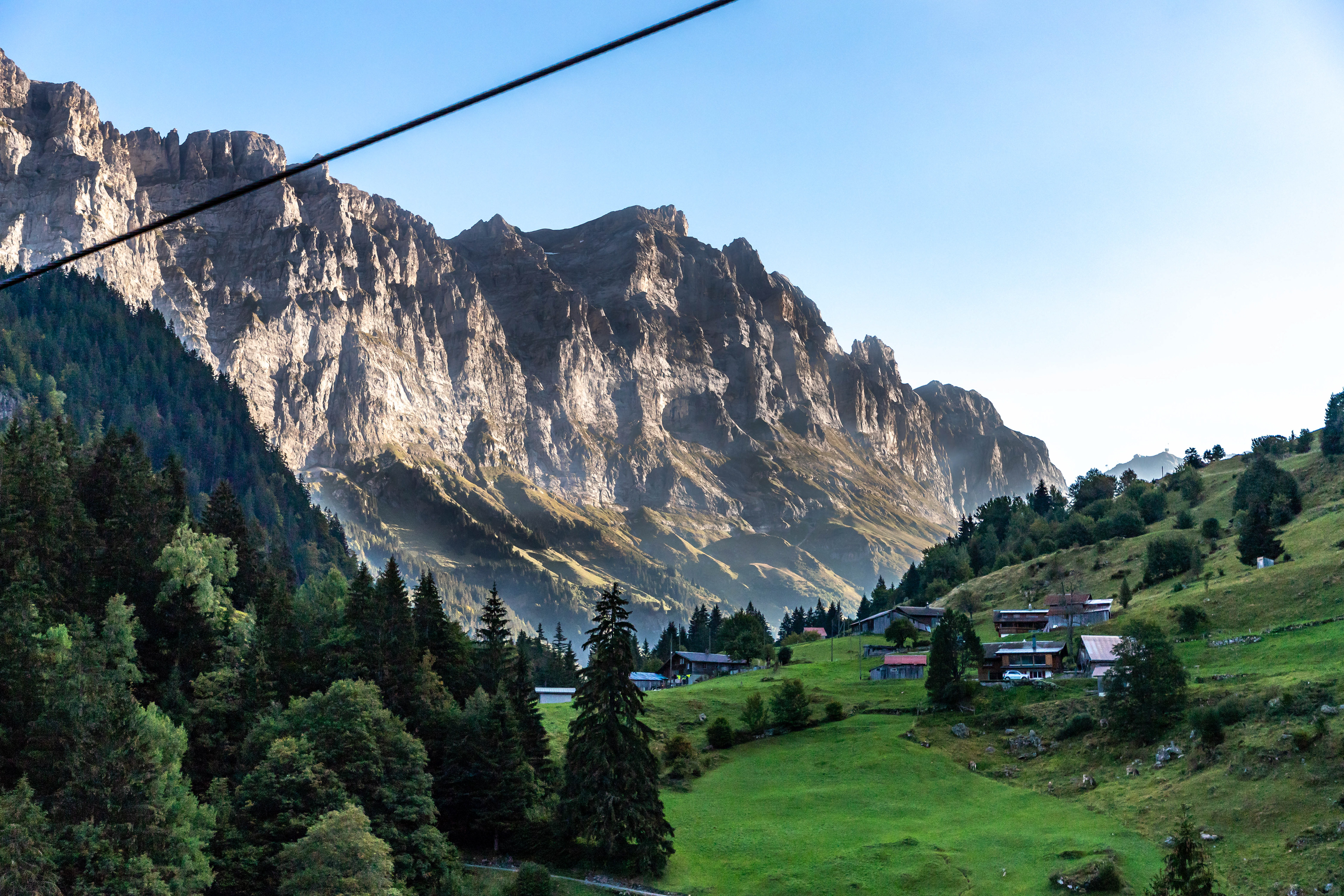
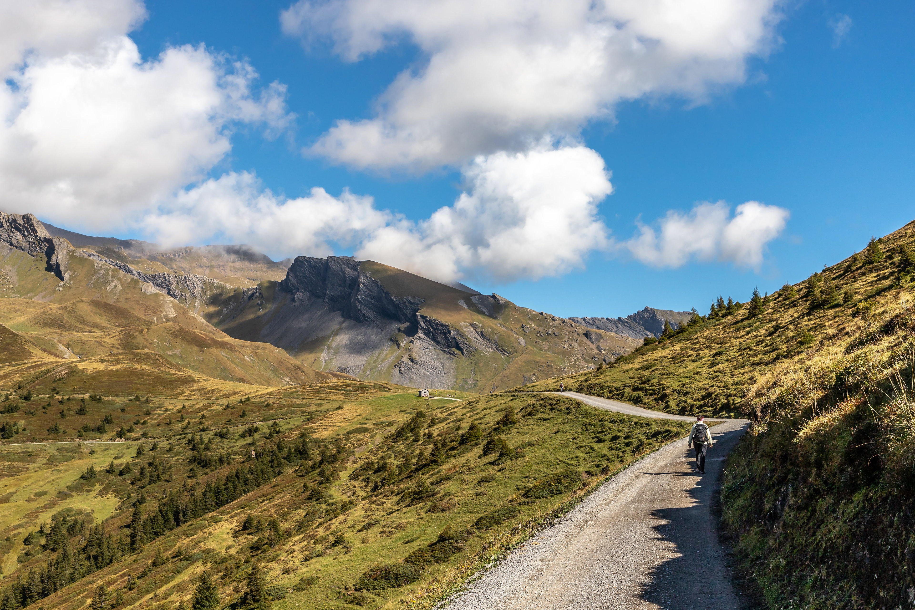
The next day we took a local bus from Tiefencastel (860 m) to the village of Savognin (1200 m) which is a ski village in one of the adjacent valleys. A gondola to Somtgant (2100 m) got us to the start our 20 km walk back to Tiefencastel through the pine forests, hills and farming valleys.
Viiews of the mountains above Savognin
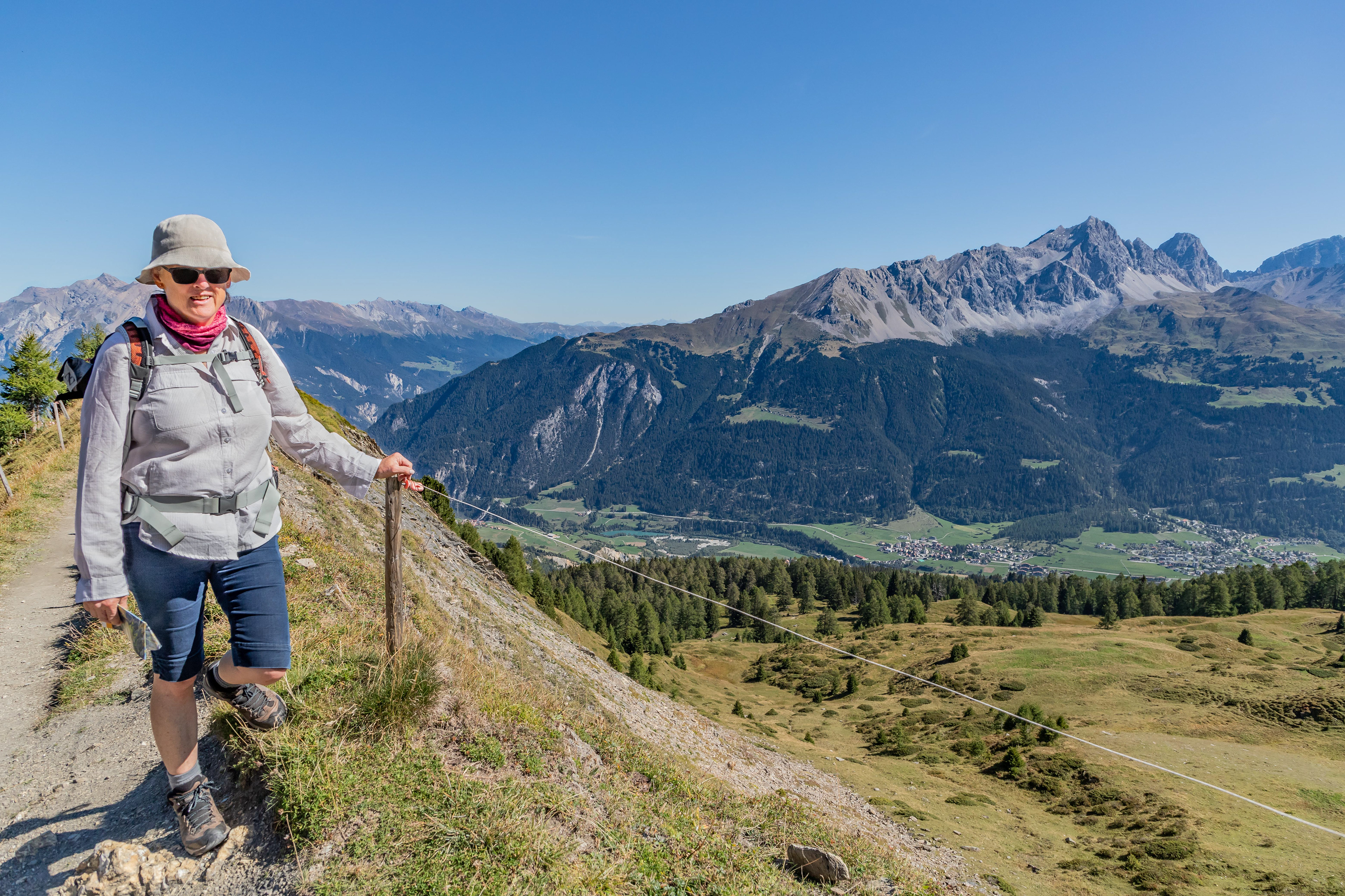
Jo above Savognin

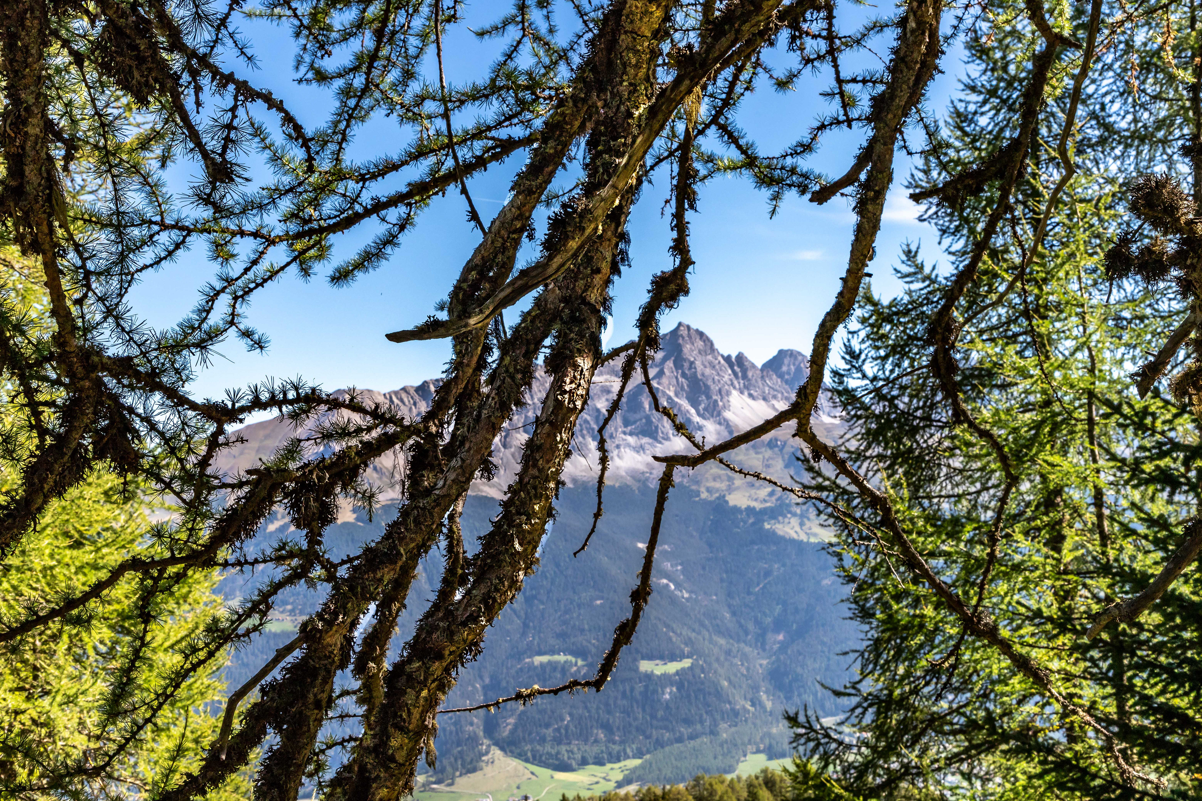
Mons village church
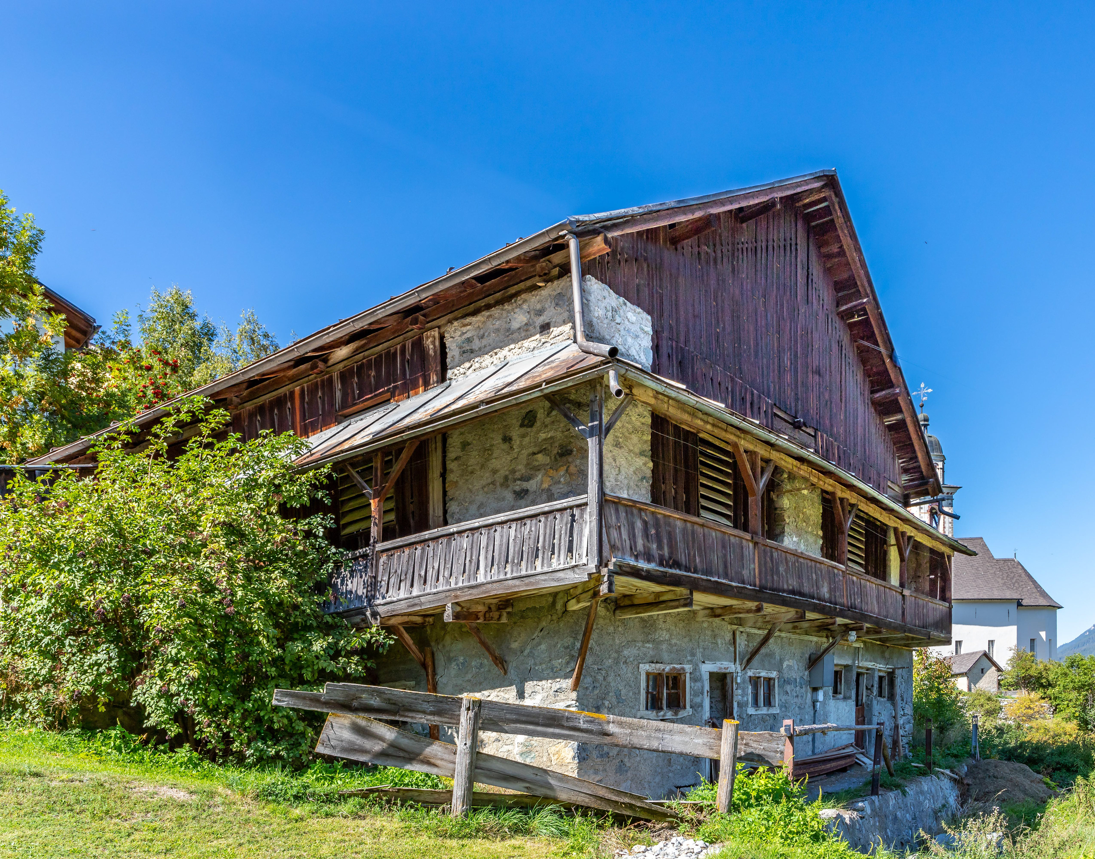
Mons architecture
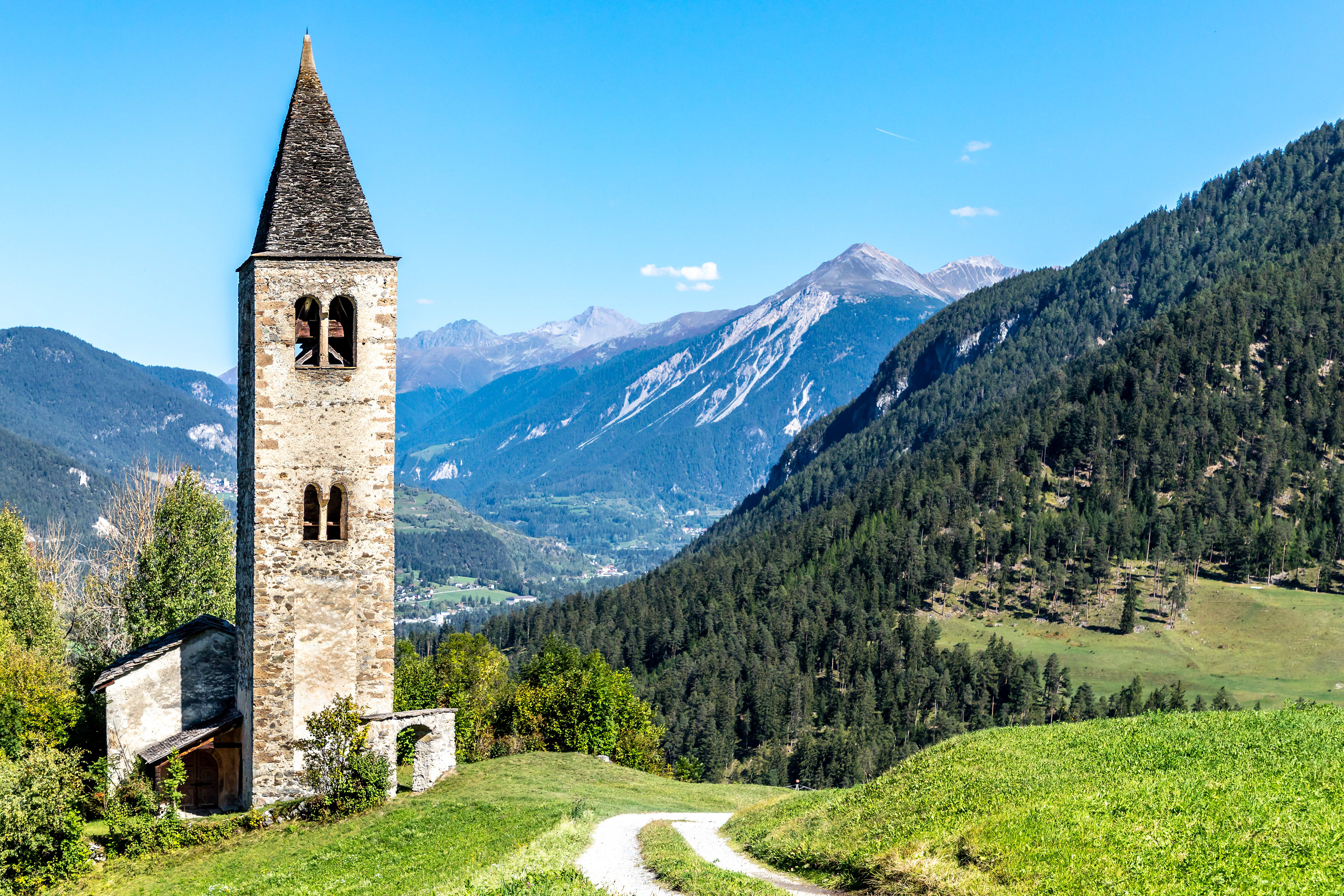
Bell tower near Mons
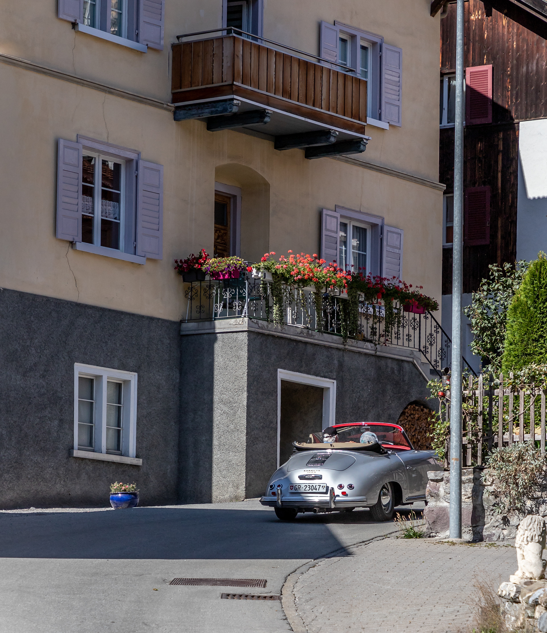

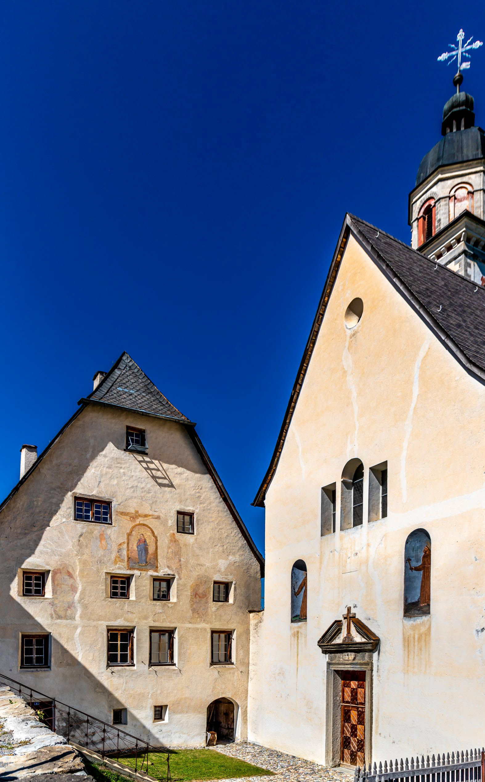
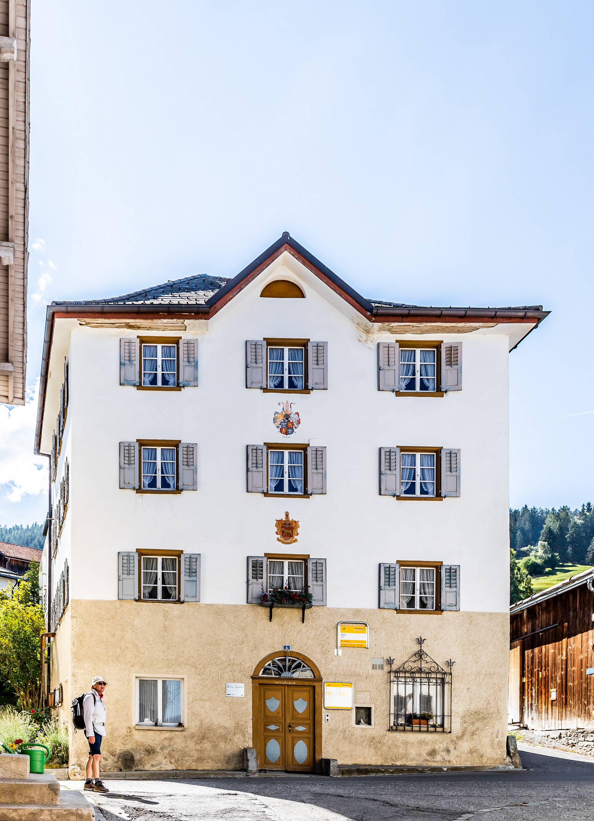
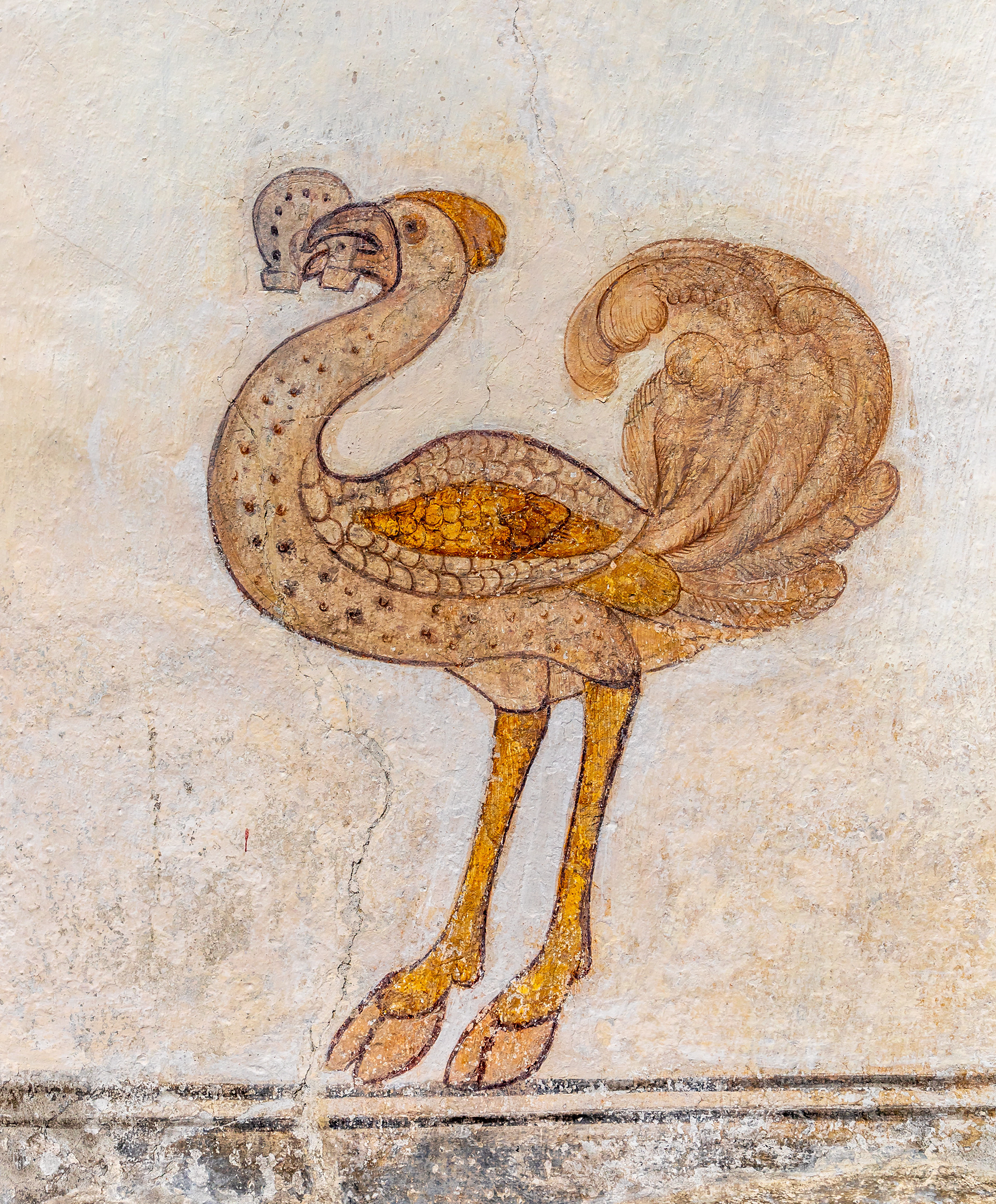
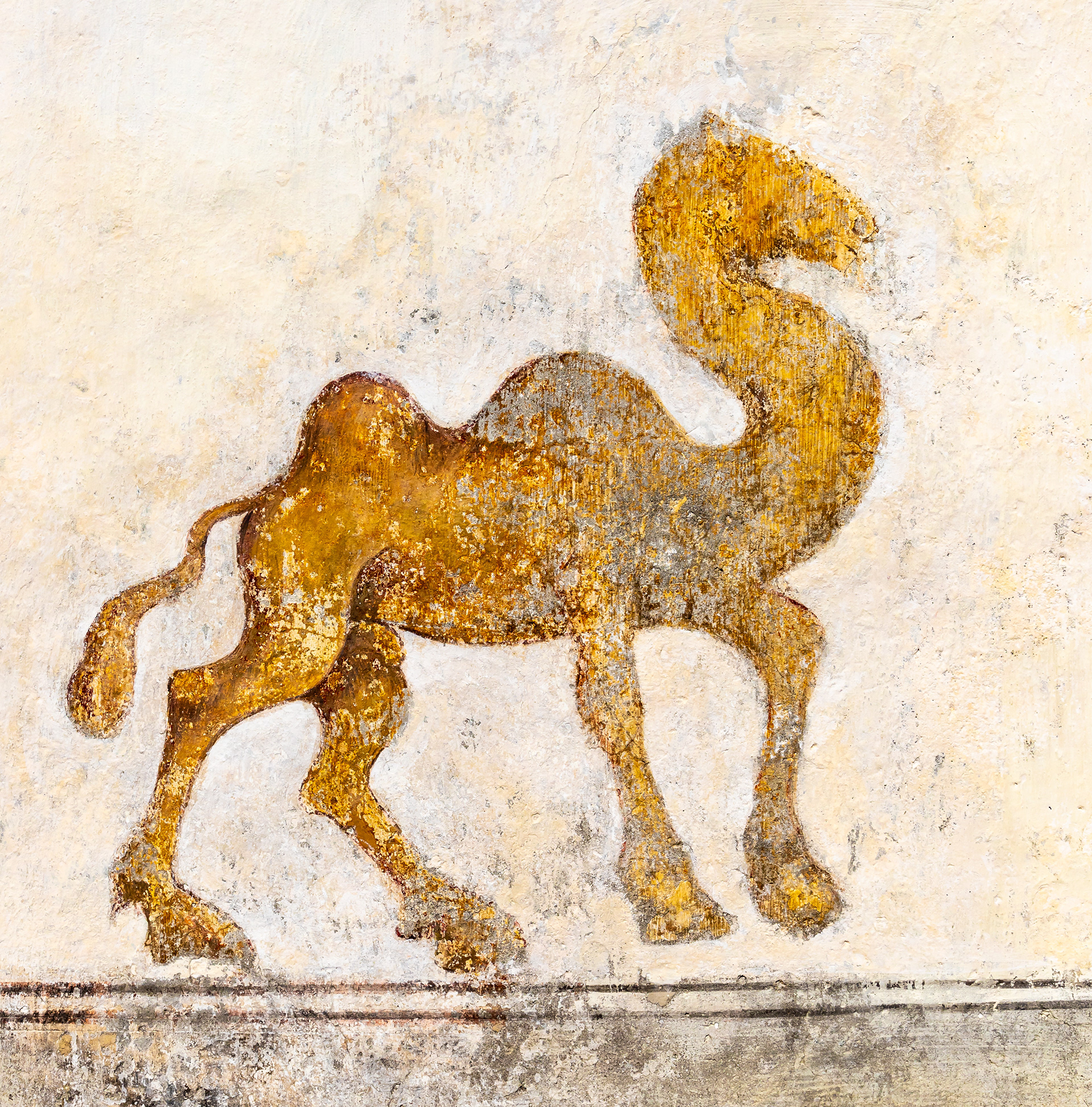
On our second day in this area we took a train to the village of Filisur aiming to then walk back to Tiefencastel, a distance of about 15 km. Many of the houses in Filisur are adorned with murals dating back centuries.
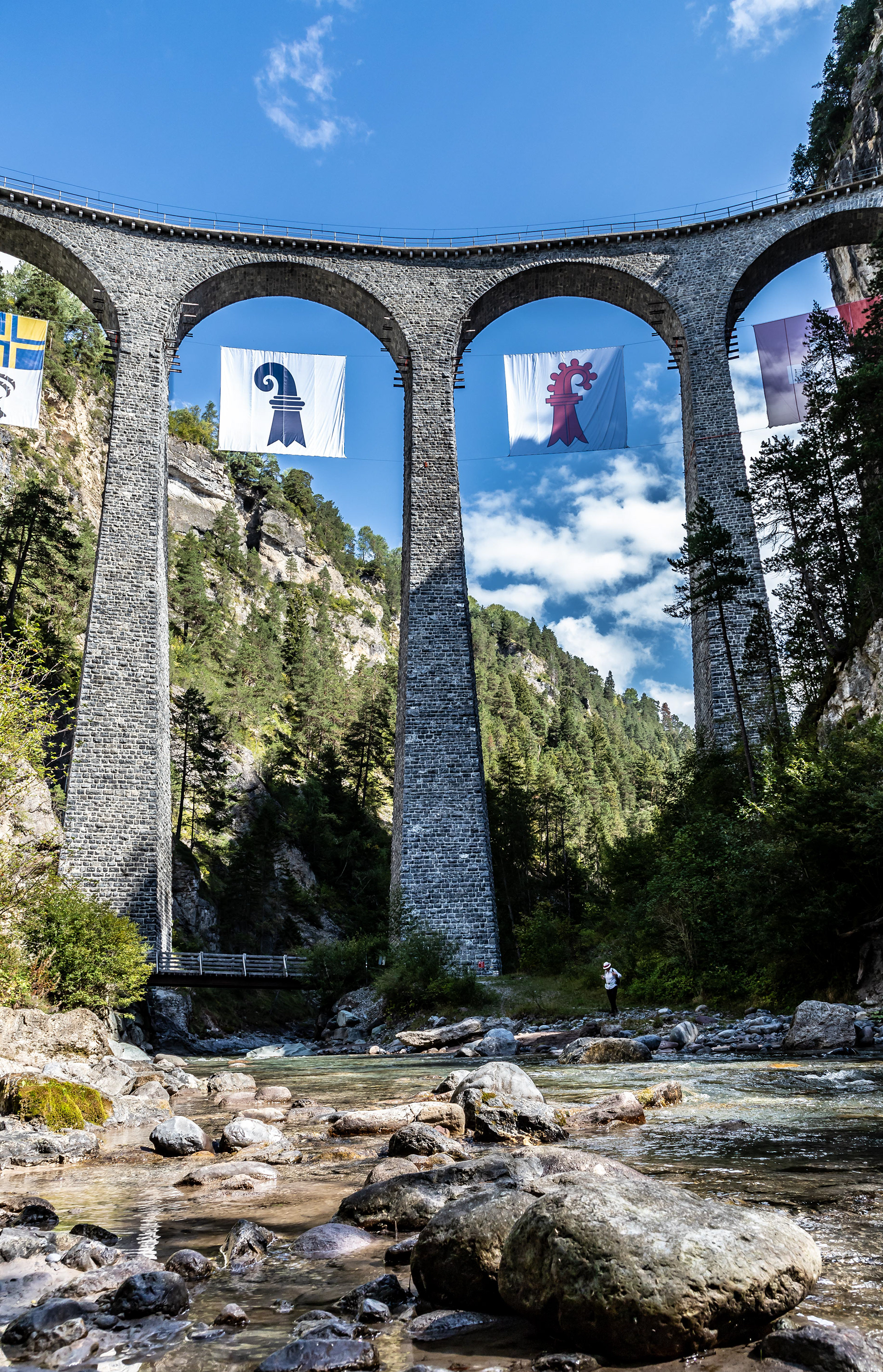
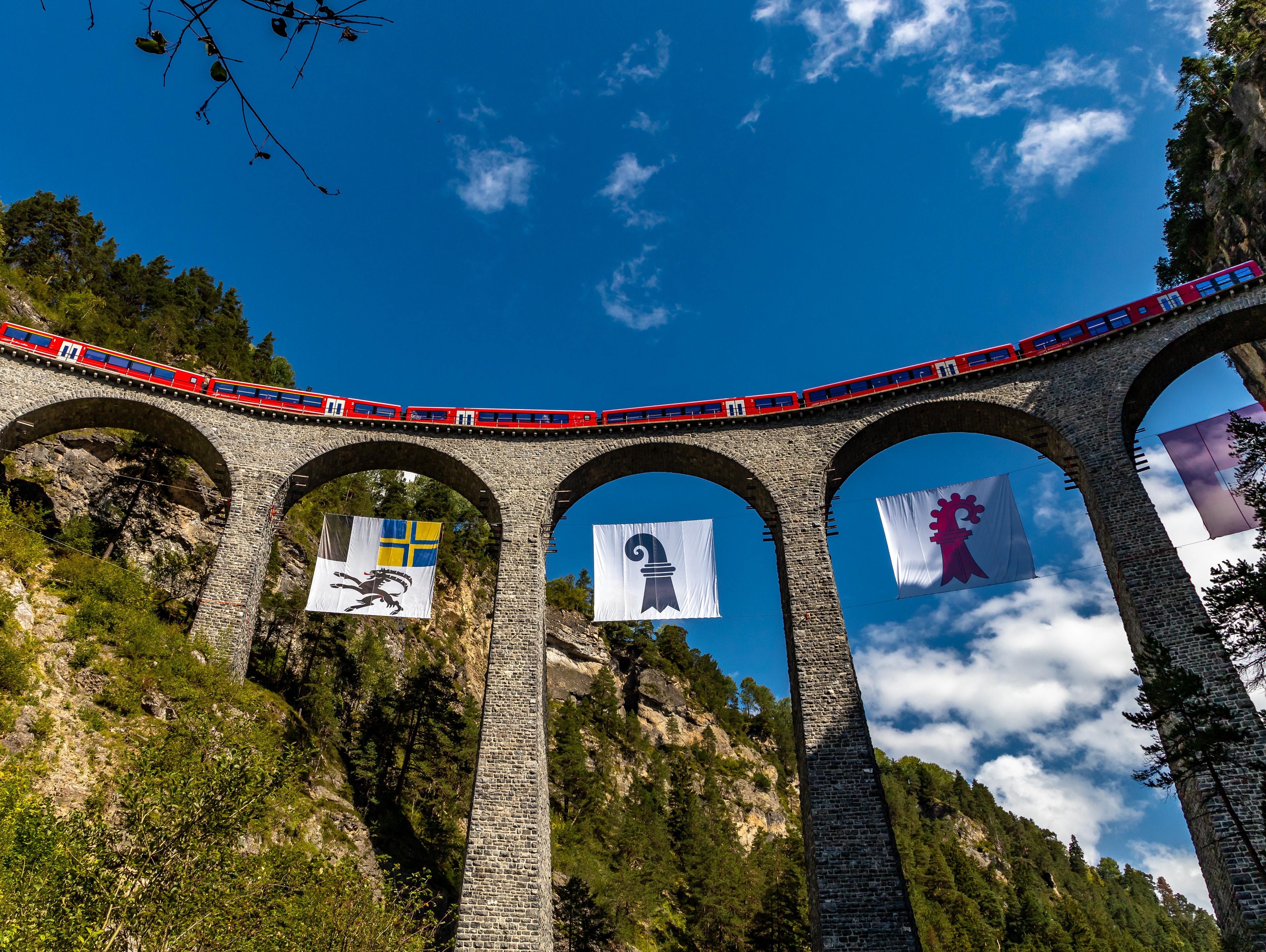
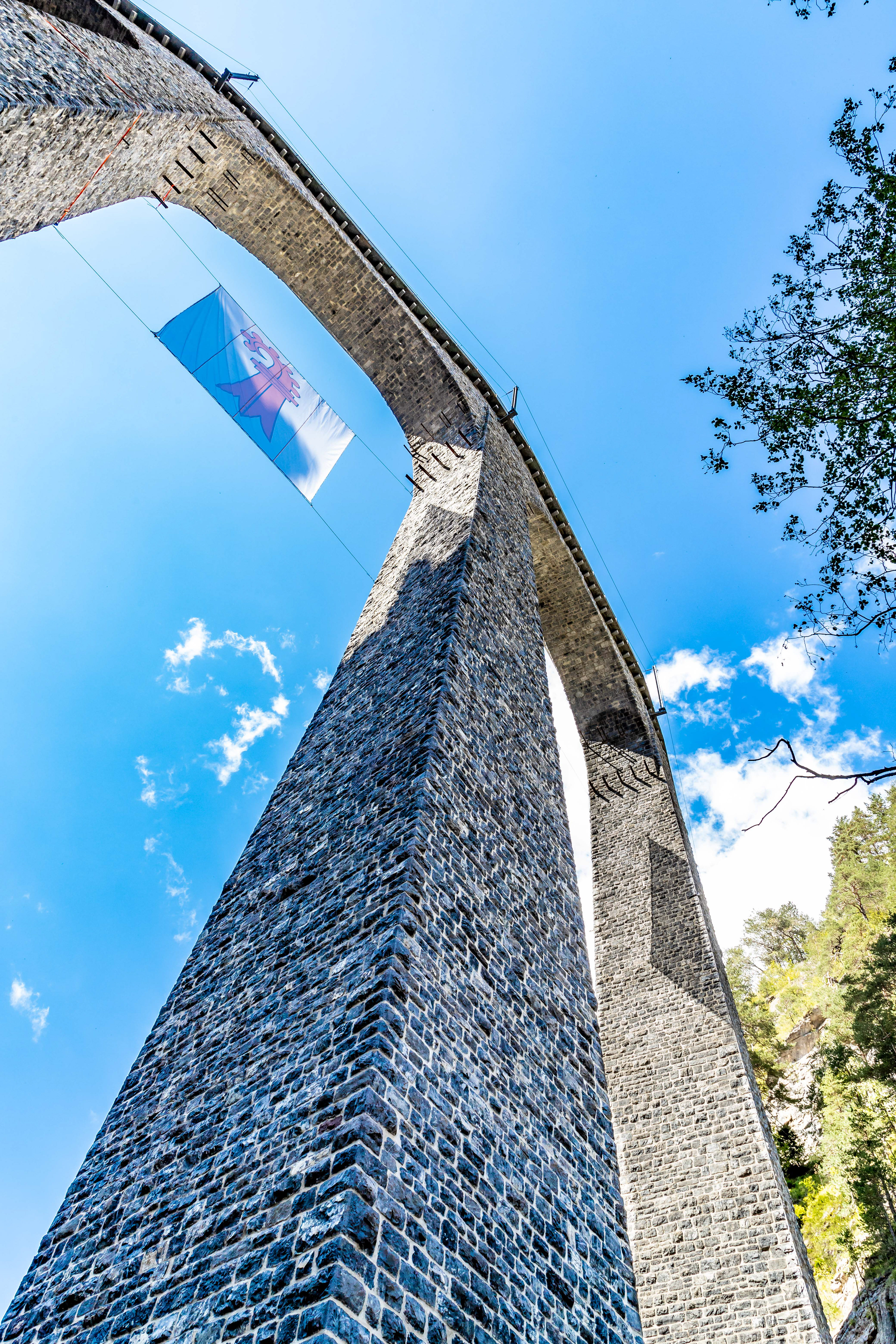
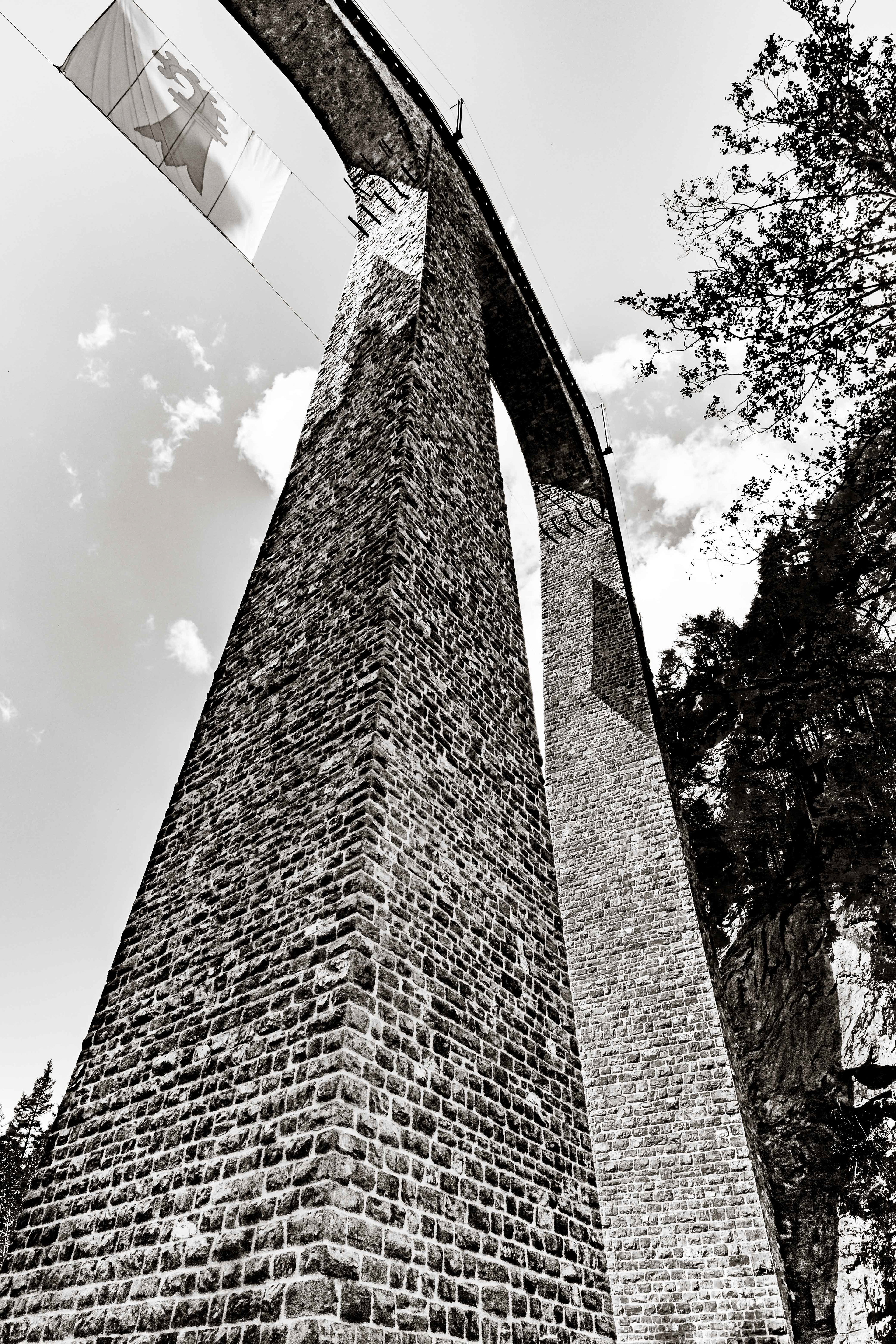
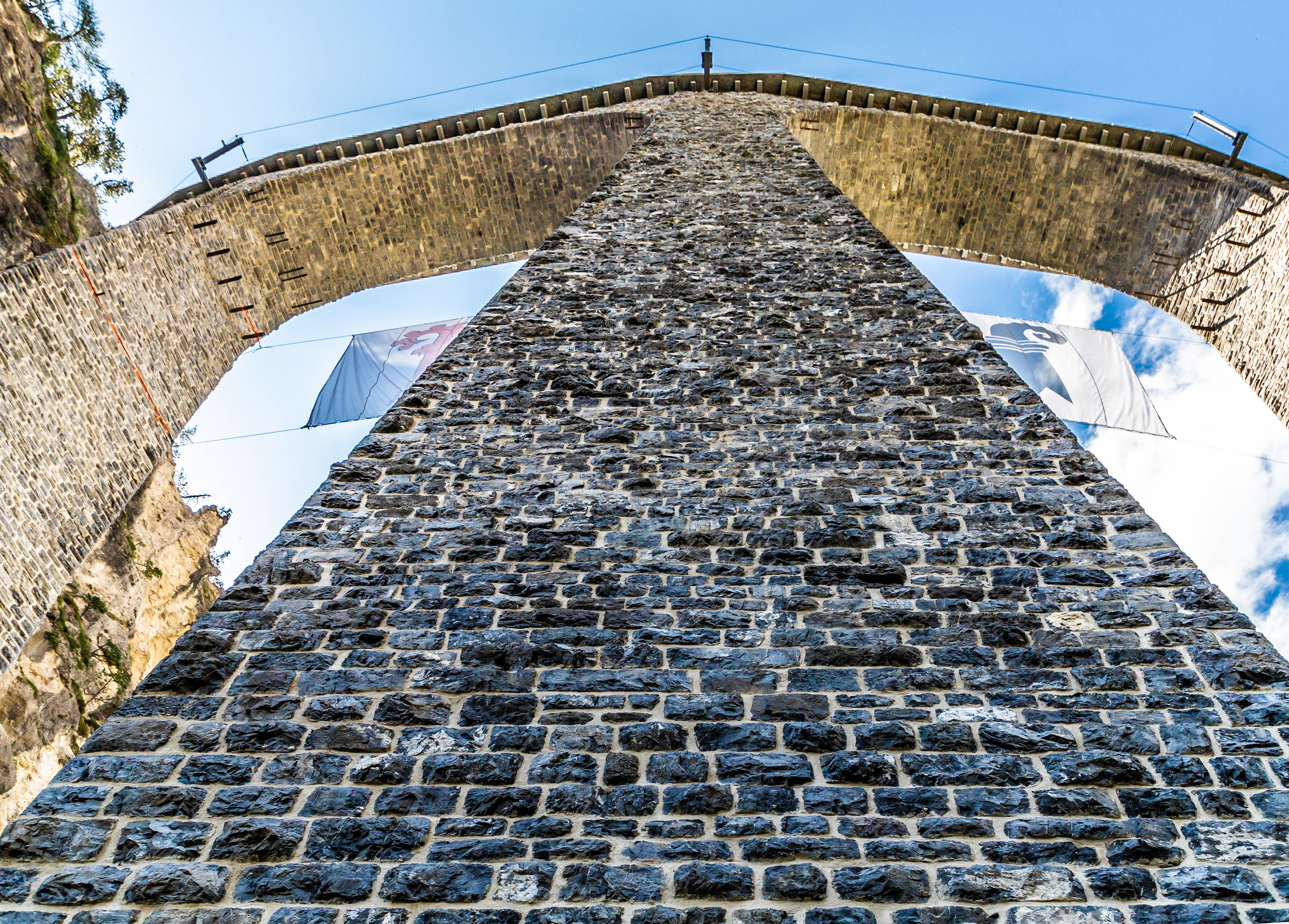
The ulterior motive for the walk from Filisur to Tiefencastel was to get a closer look at the Landwasser Viaduct. While we had crossed the viaduct earlier in the morning, and crossed other impressive bridges during our trip from Italy, it is difficult to get any feeling of their majesty from within the train. This really requires a more hands on approach. This viaduct is about 60 m high and was originally built over 100 years ago. What makes it even more spectacular is that the trains disappear into a tunnel (or conversely, appear out of a tunnel) right at the start/end of the viaduct.

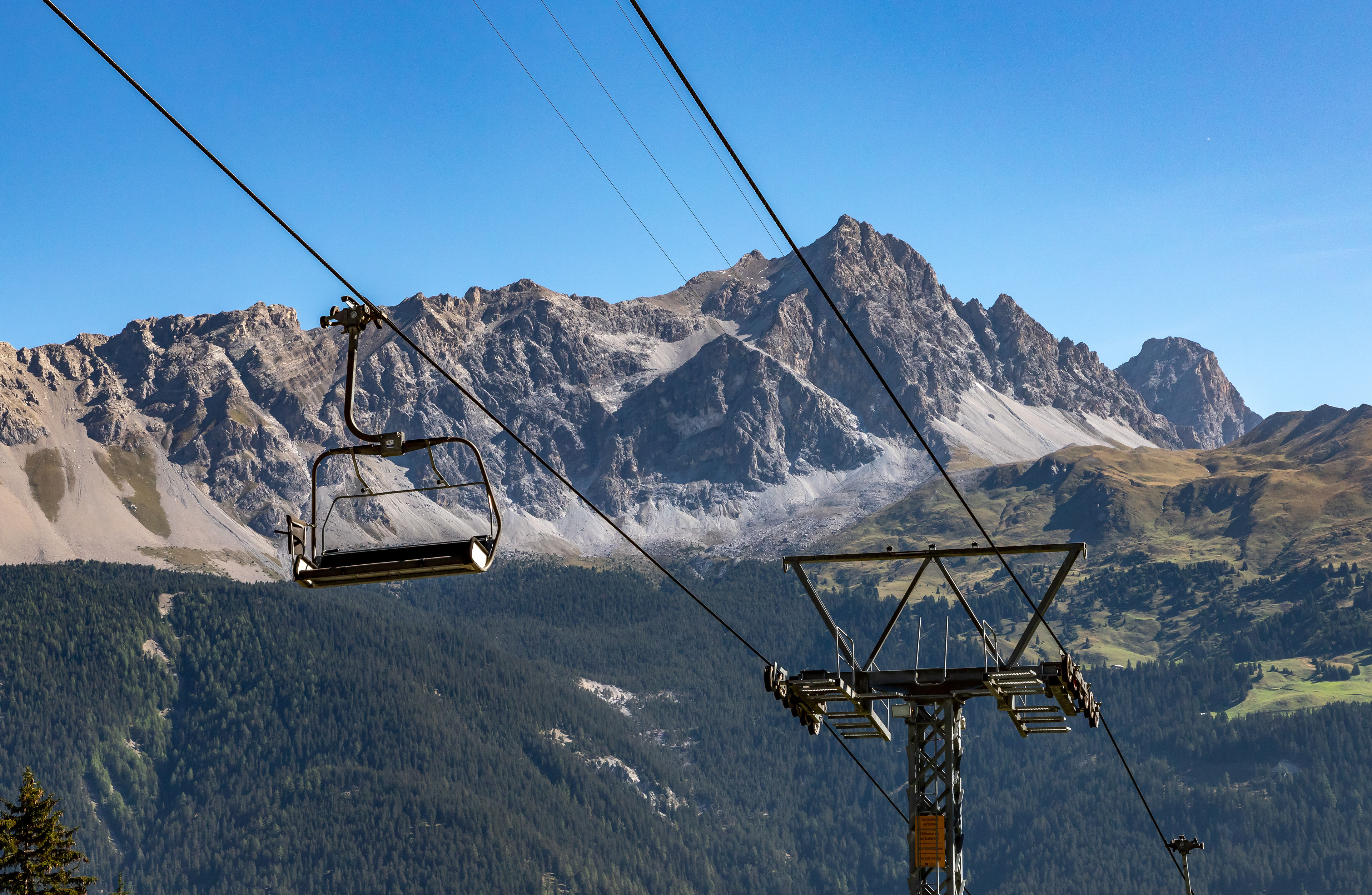
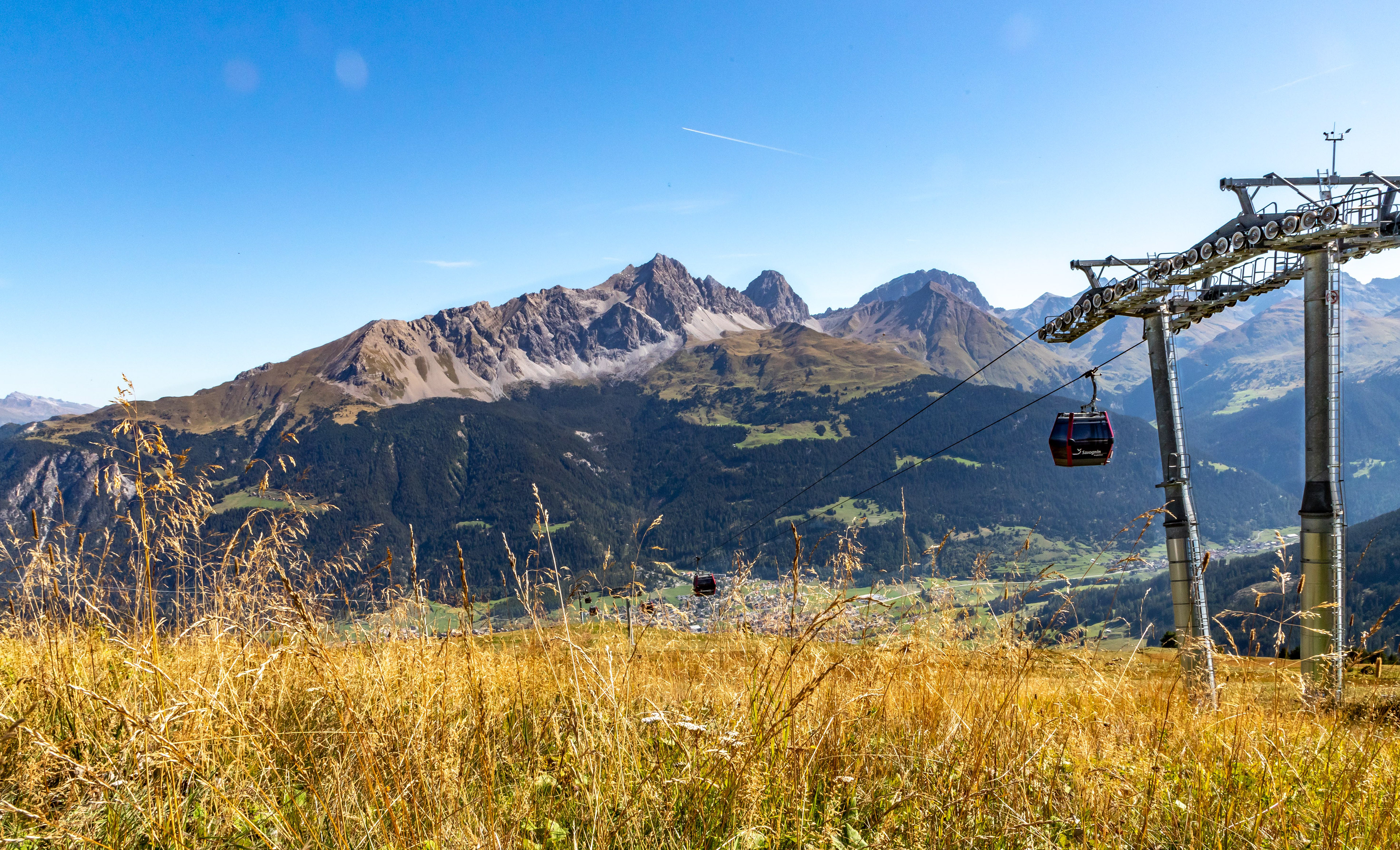
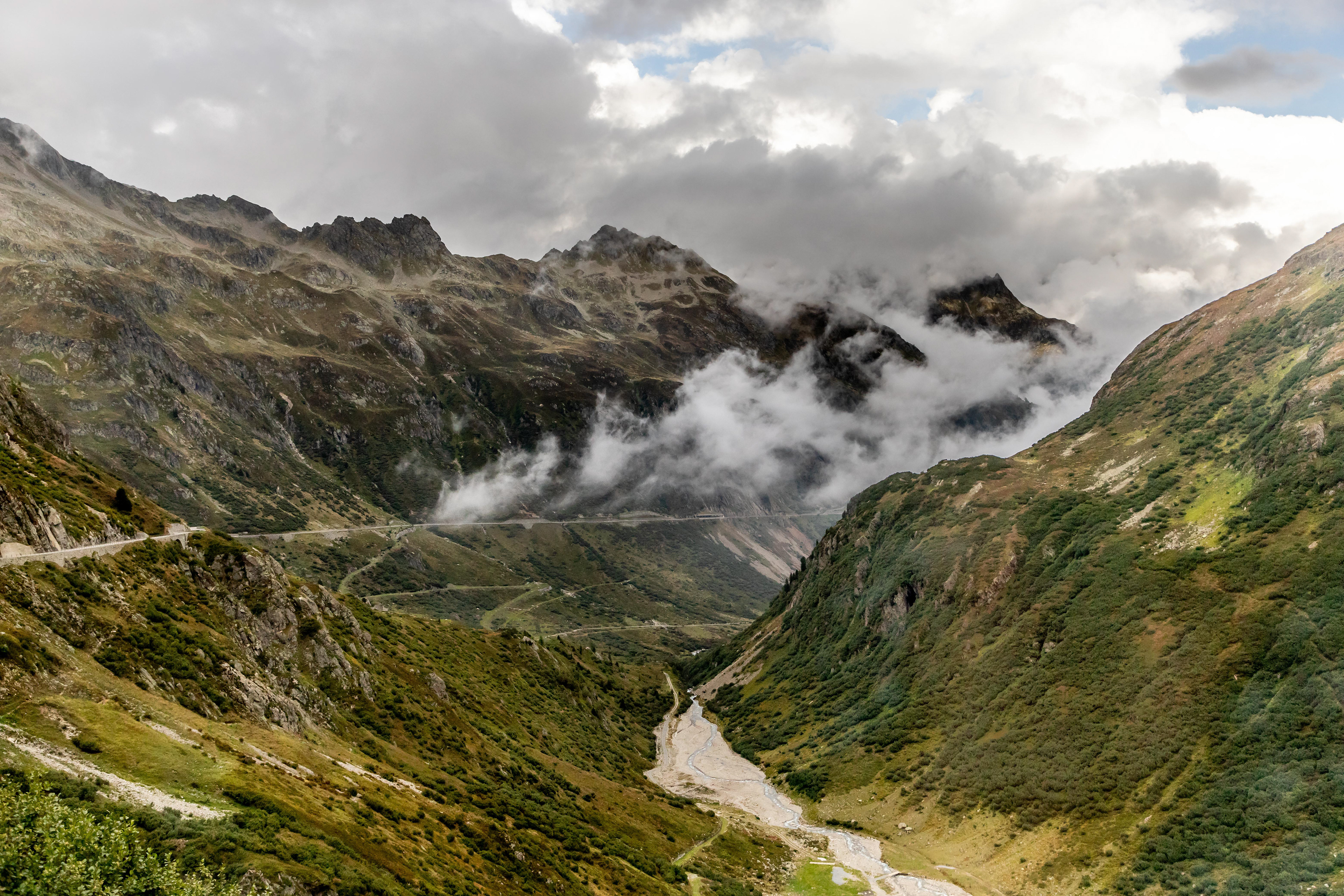
The following day we travelled from Tiefencastel to Andermatt by train, 3 actually. In our eyes, this trip was as spectacular, if not more spectacular than the trip across the alps from Italy to Tiefencastel on the Bernina Express. These local trains were much more conducive to photography, with windows that opened to the outside world. The railway went around Lake Curnera which must have been about as high as we got on the line ( ~2000 m). The really spectacular part, in terms of the railway journey and railway engineering was that in the 8 or so km (as the crow flies) between the lake and Andermatt, the line drops 5-600 m by means of impressive switchbacks and the assistance of cog rail technology. Highly recommended.
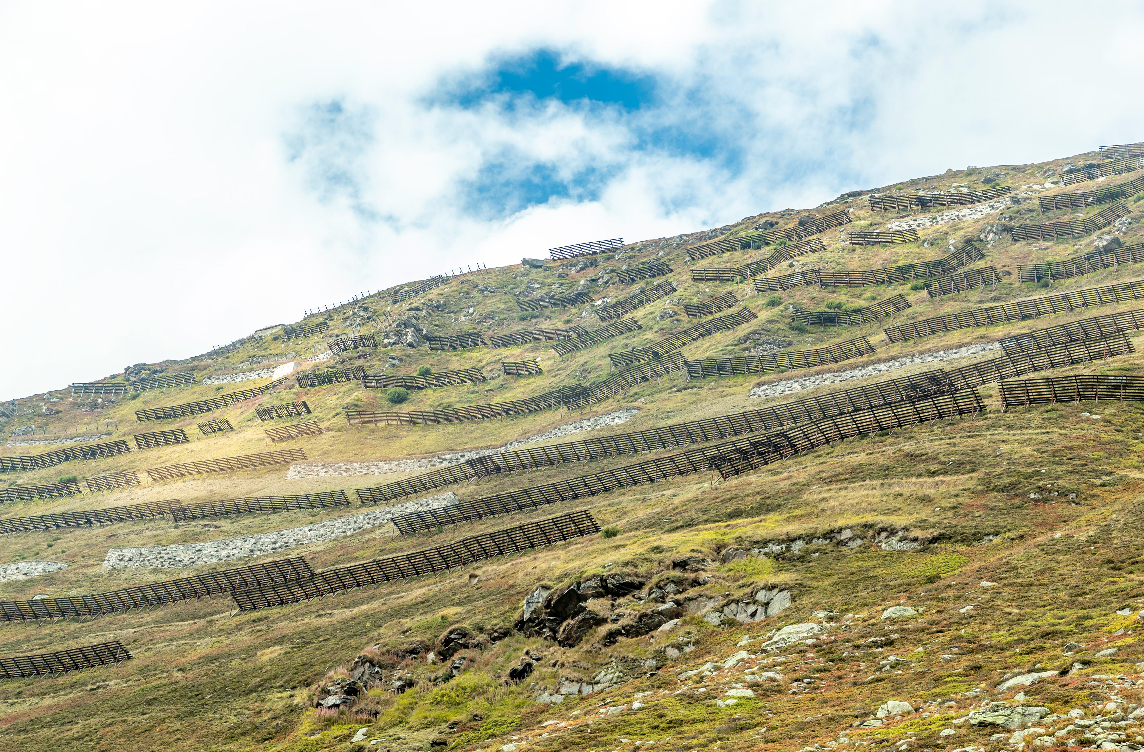
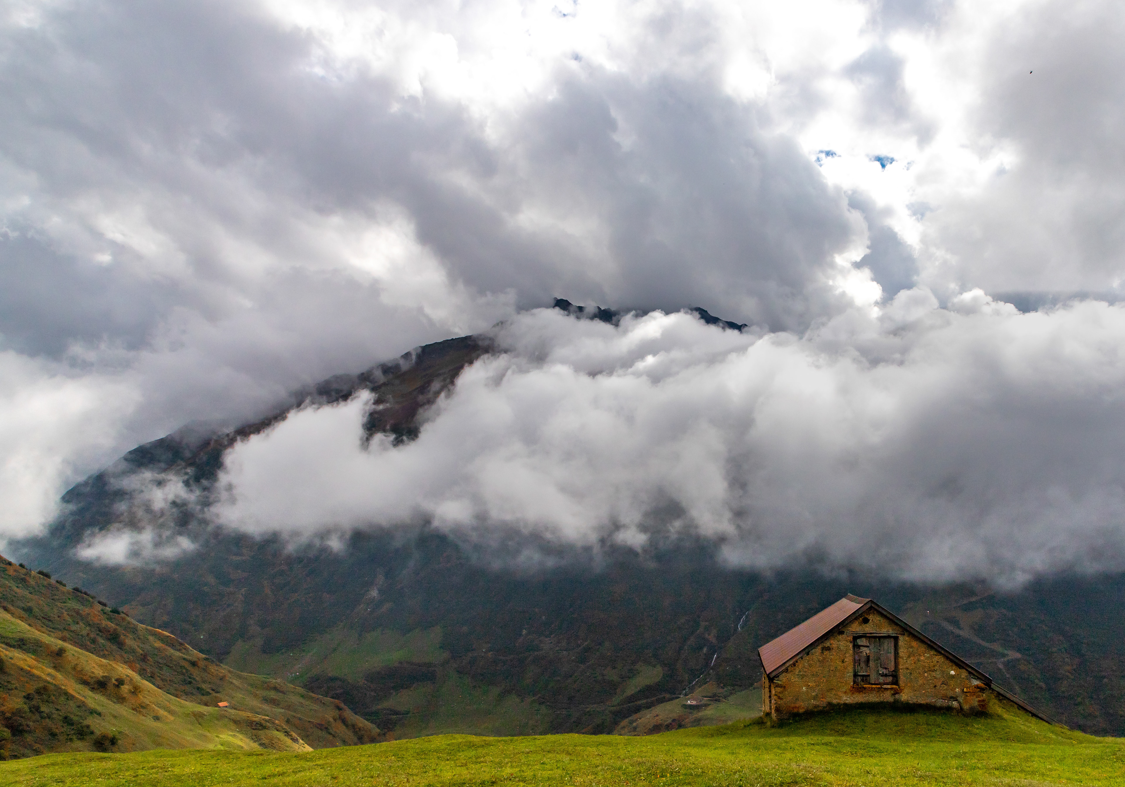
Avalanche barriers above the rail line

Andermatt just peeping out below
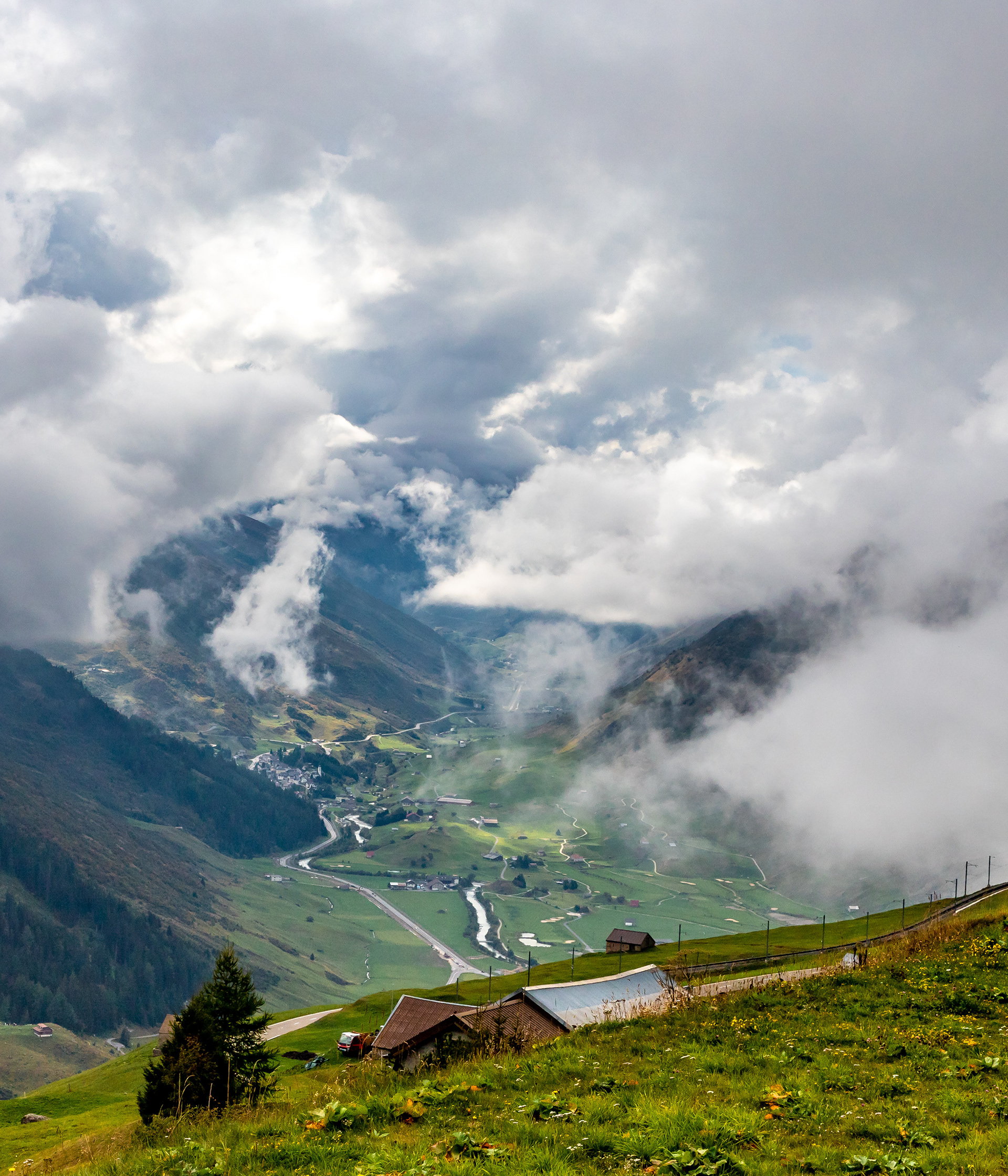
Somehow we have to get down to Andermatt which is almost immediately below the farm barns (not in view). One of the rail switchbacks can be seen between the barns.
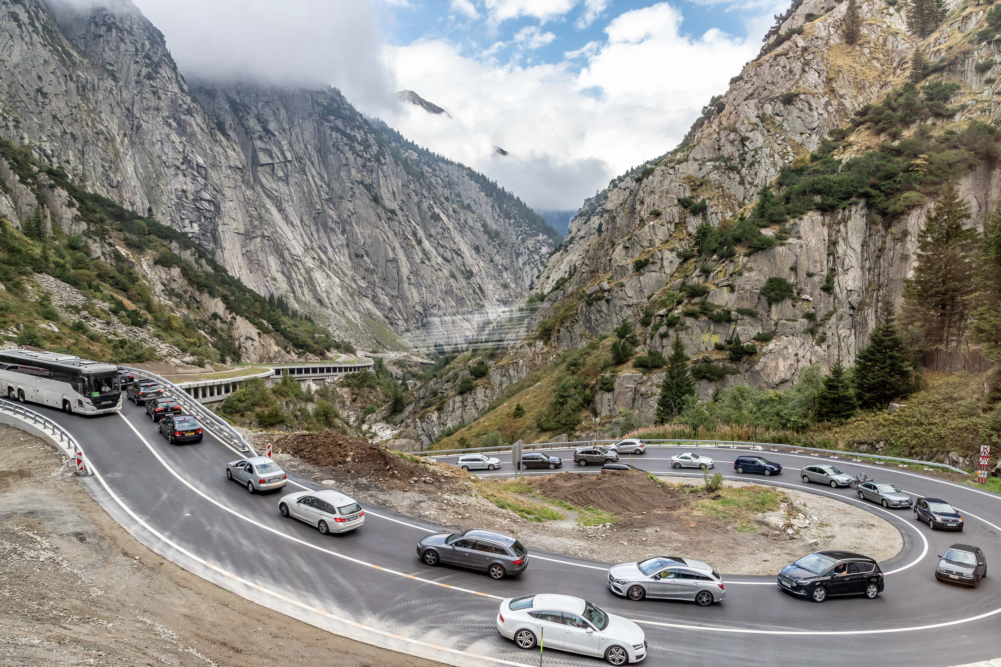
We didn't stay in Andermatt but caught a bus to Meiringen, our final destination for the day. I didn't think that the Swiss had traffic jams but we did find one heading out of Andermatt, luckily it wasn't going our way.

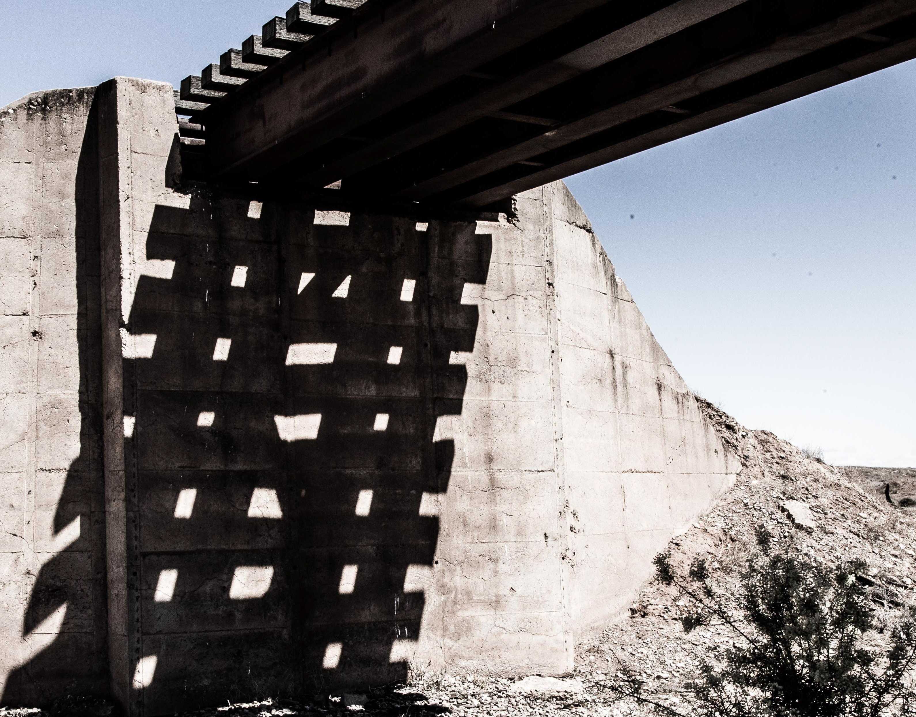
If we thought that our morning train journeys were impressive, the ride on the Post Bus was equally spectacular. The driver was brilliant, obviously having navigated the narrow roads and mountain passes at least a couple of times before. In avalanche prone areas the road disappears into these concrete tunnels (with a side view).
Views near Susten Pass. The road was built from 1938–1945 and connects Innertkirchen in the canton of Bern with Wassen in the canton of Uri. A 300 metres long tunnel crosses the pass at 2224m (https://en.wikipedia.org/wiki/Susten_Pass).

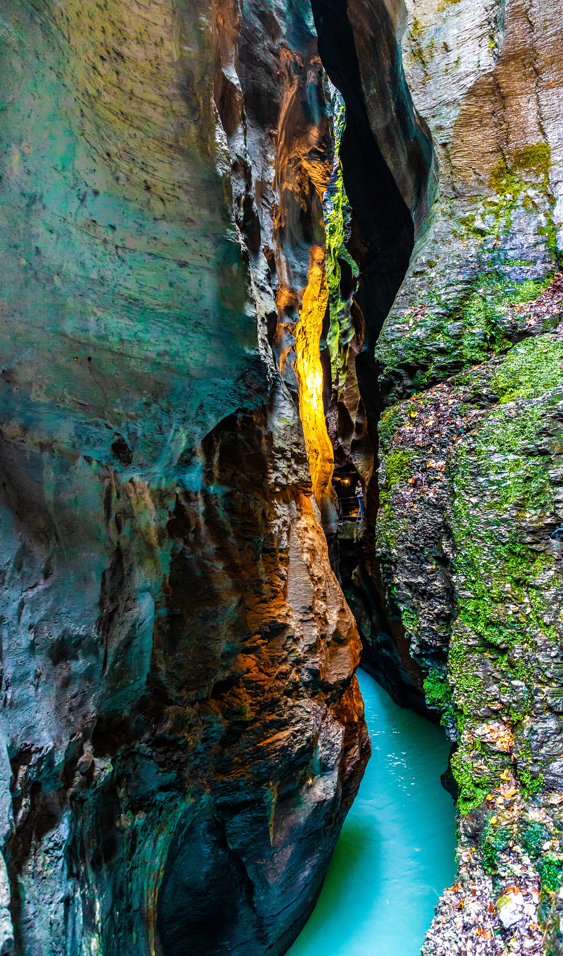
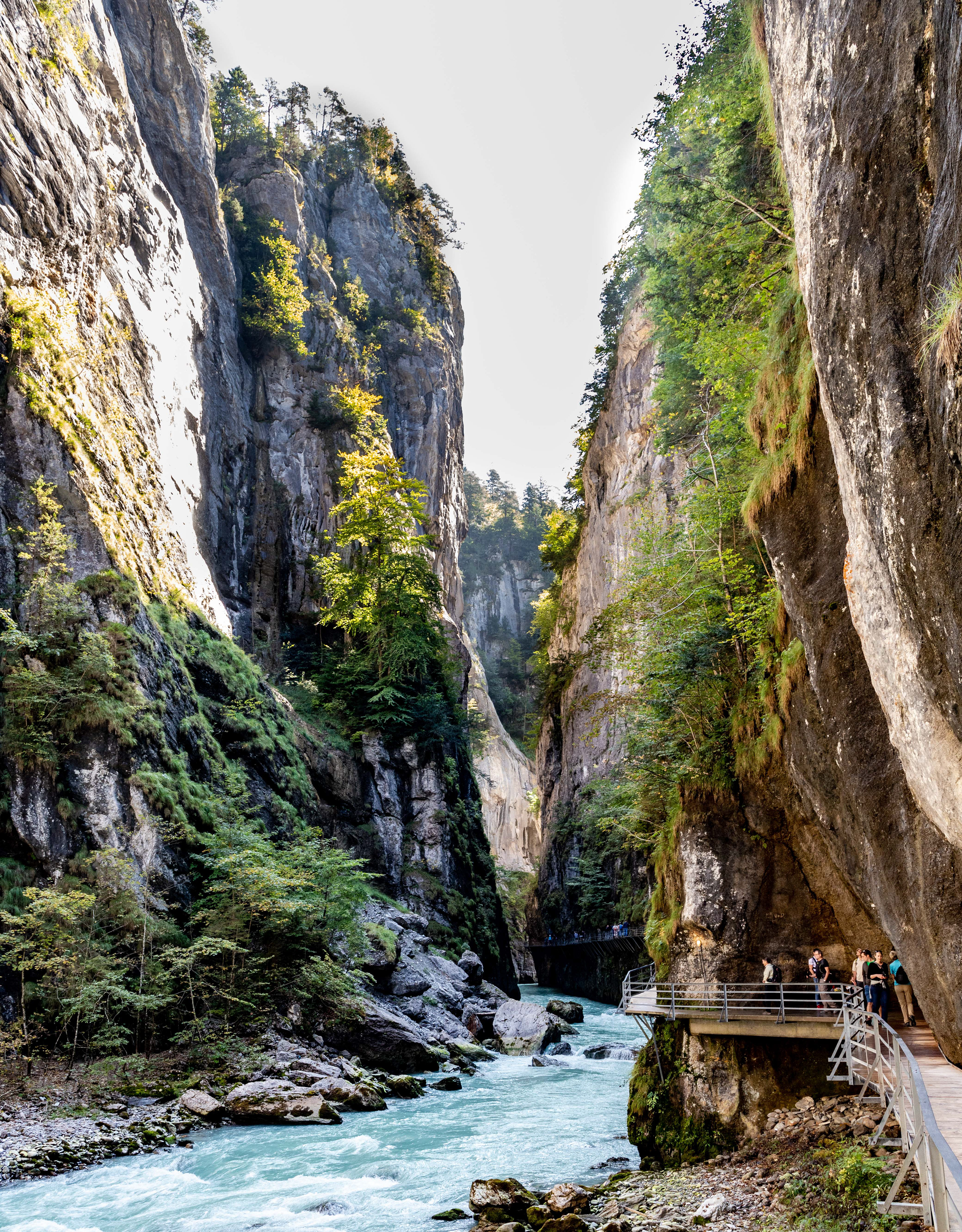
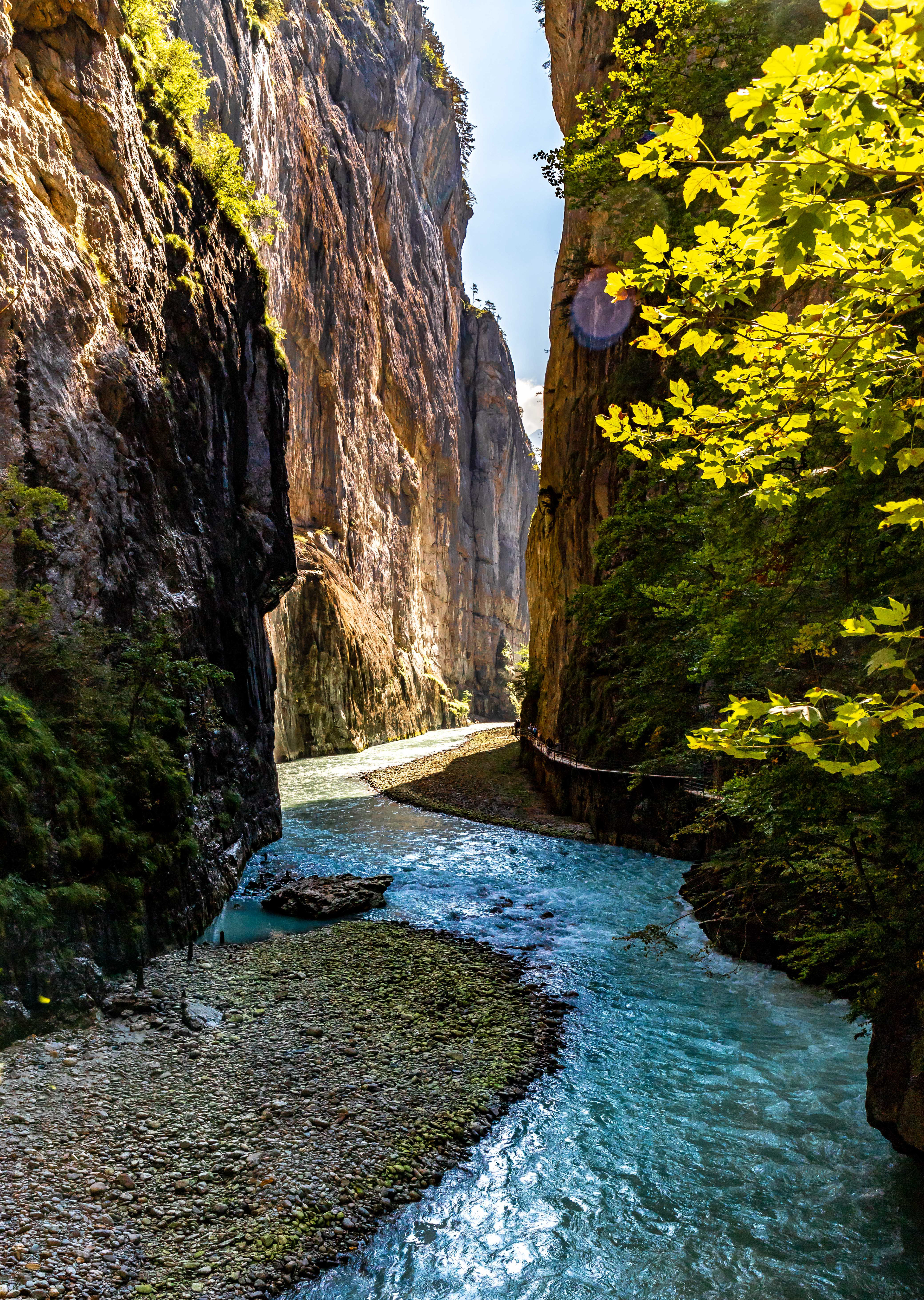
Spectacular and narrow, Aare Gorge is about 1400 m long

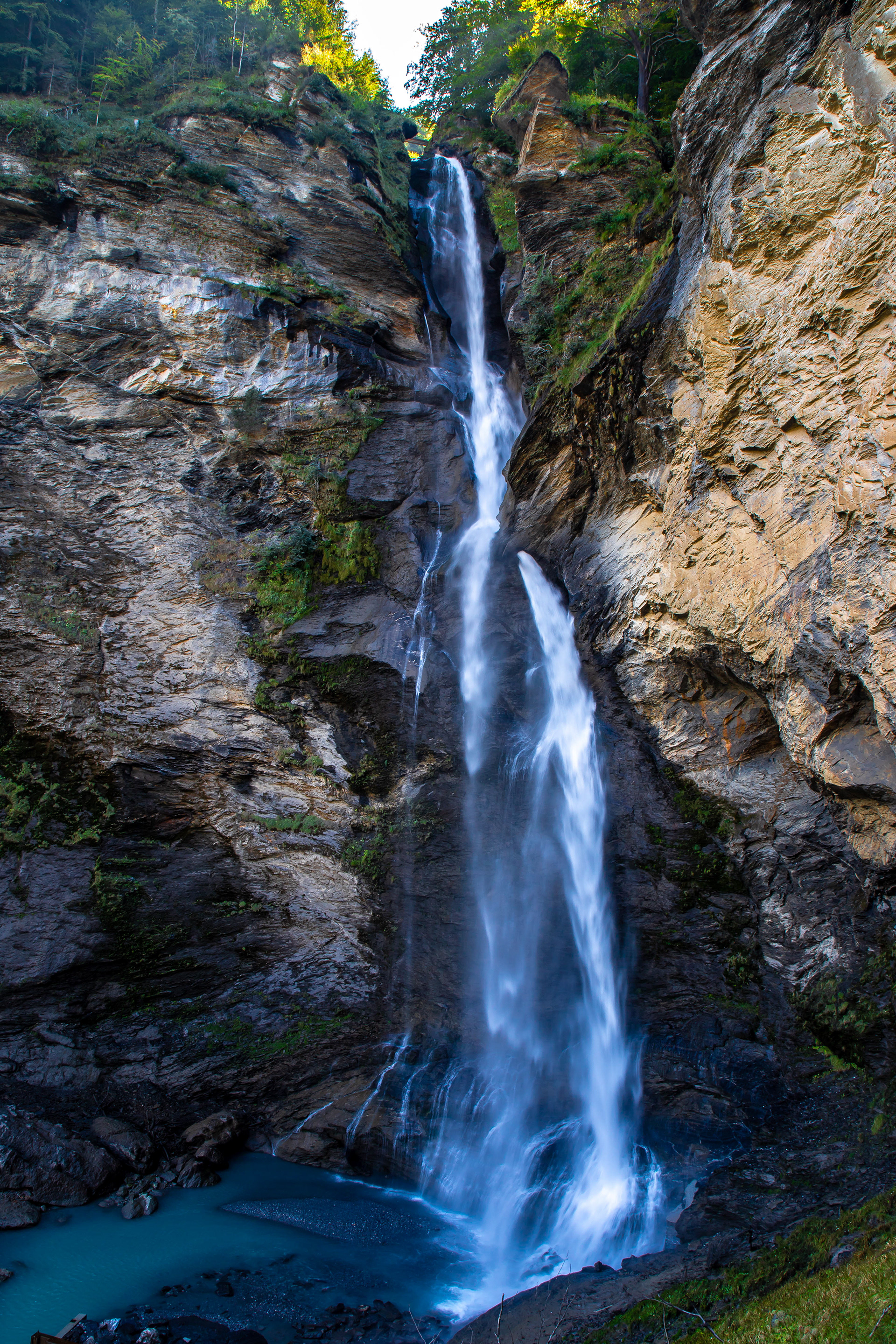
The Reichenback Falls which are on the outskirts of Meiringen drop 250 m in 7 cascades. The main claim to fame of the village is that the British author, Sir Arthur Conan Doyle located the last fight between his fictional crime fighter, Sherlock Holmes and archenemy Professor Moriaty at these falls. Both were apparently killed when they fell from the falls, however due to the outcry from fans, Doyle later re-instated (or reincarnated) Holmes in later books. While it is entirely possible to walk to the top of the falls, it is easier to use the cable car to go up and to walk back down.
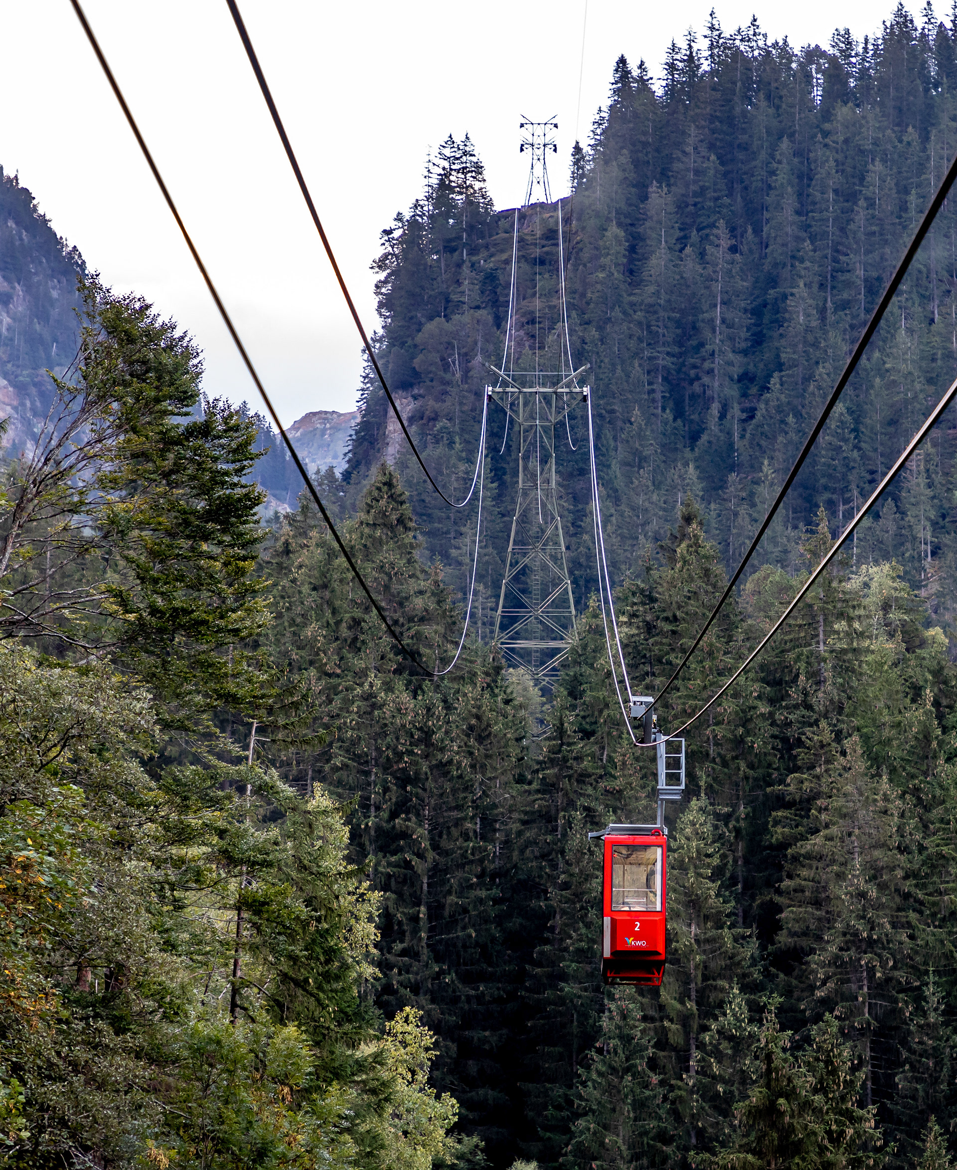
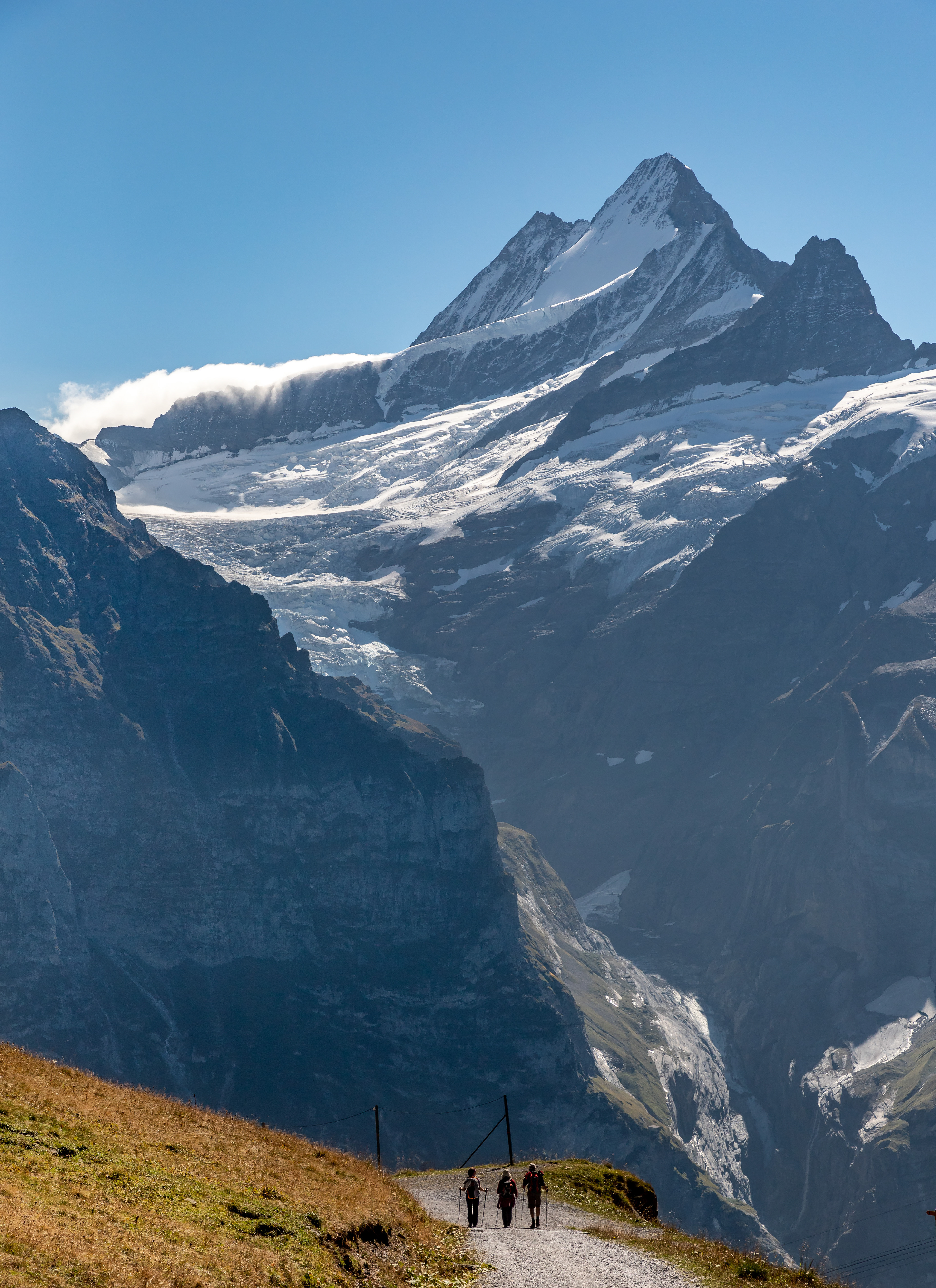
We had heard about the Trift Glacier and its associated suspension bridge. Access to Trift is from the village of Gadman and while it is possible to walk to the glacier from the village it is more convenient, particularly on a 1 day visit, to travel by cable car for about two thirds of the distance, and half the total elevation change (1000m to 1370m), before walking the rest to the glacier (at 1680 m elevation). The catch is that the cable car only holds 8, requiring bookings to be made prior to the day of travel. Luckily we were able to get time slots for both up and down trips.
View on the way up
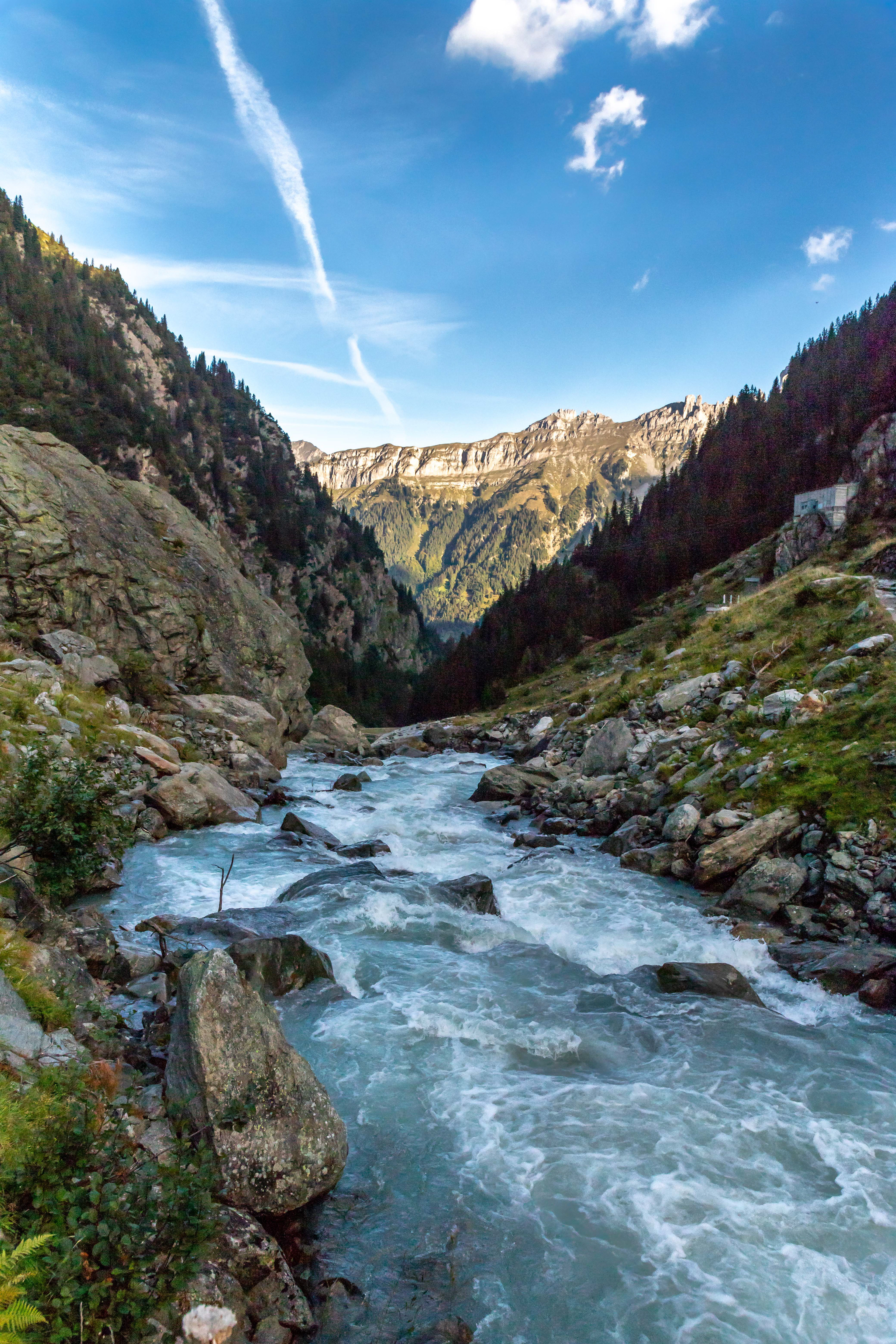
Crossing one of the rivers being fed by the glacier
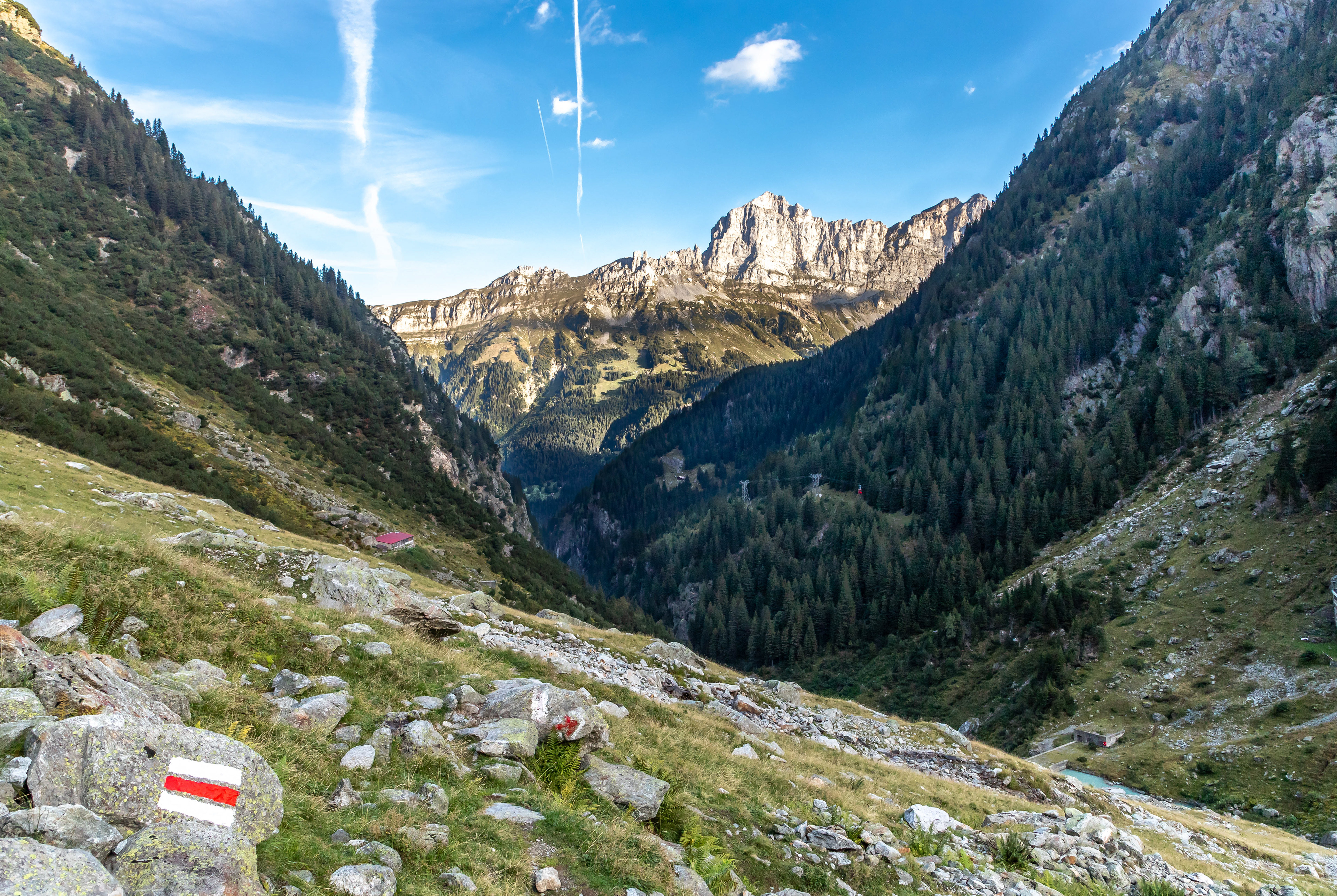
Looking back down the valley and the cable car route
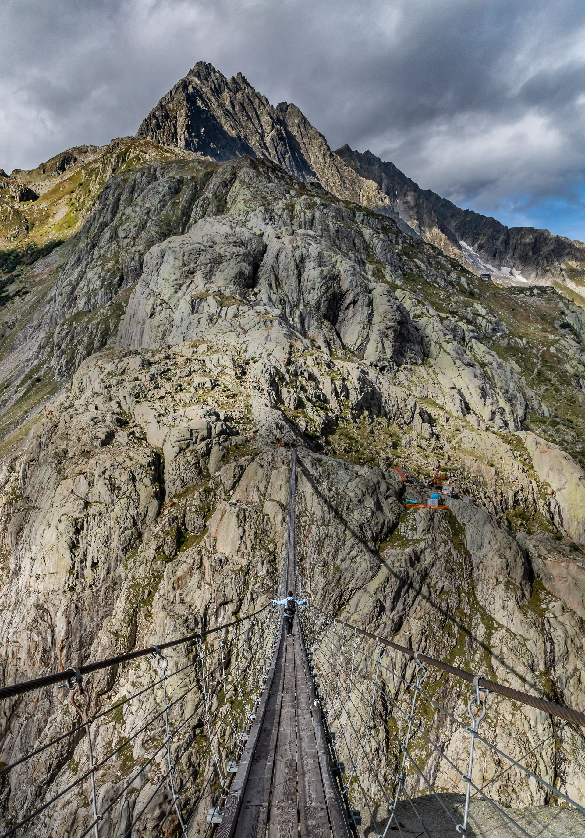
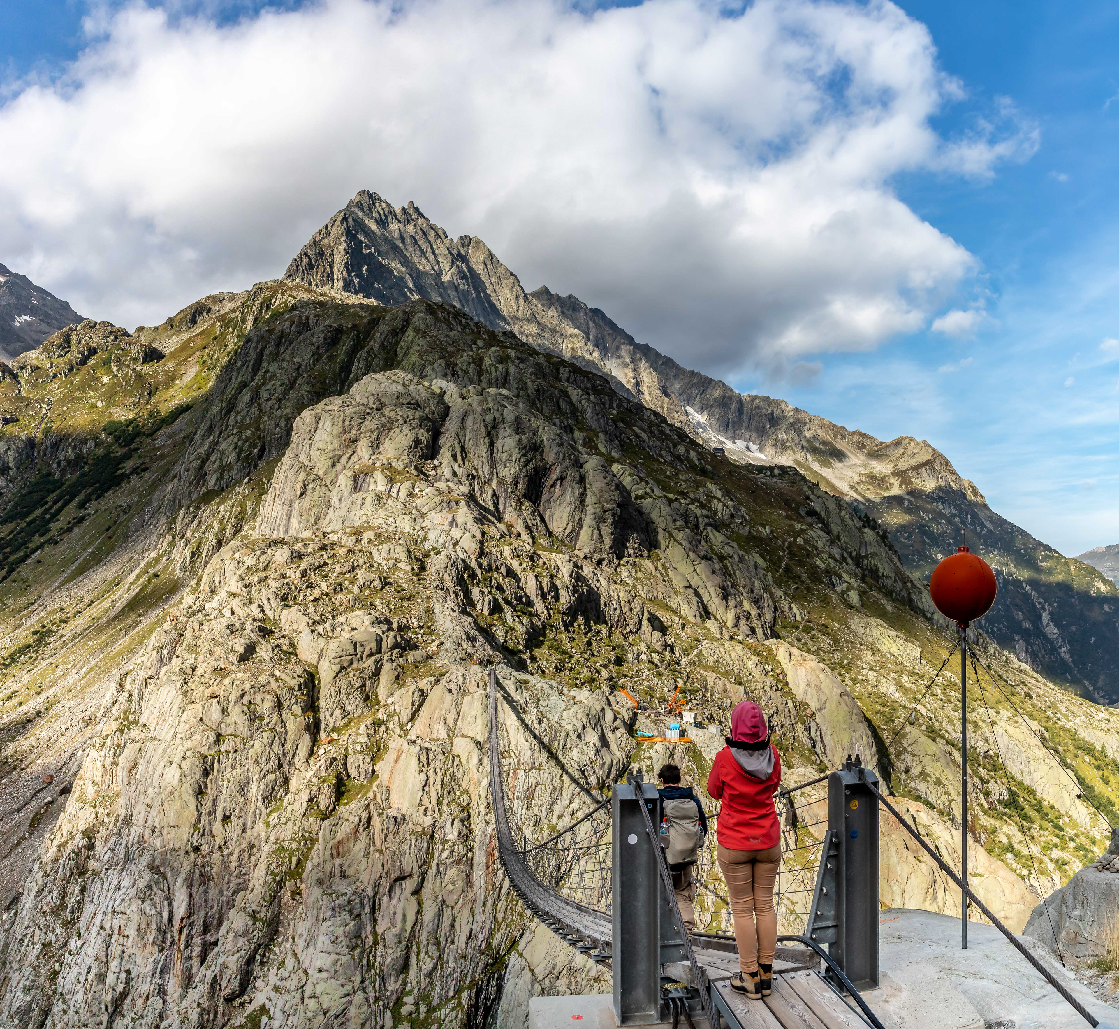
Our first view of the suspension bridge although it is a bit hard to see
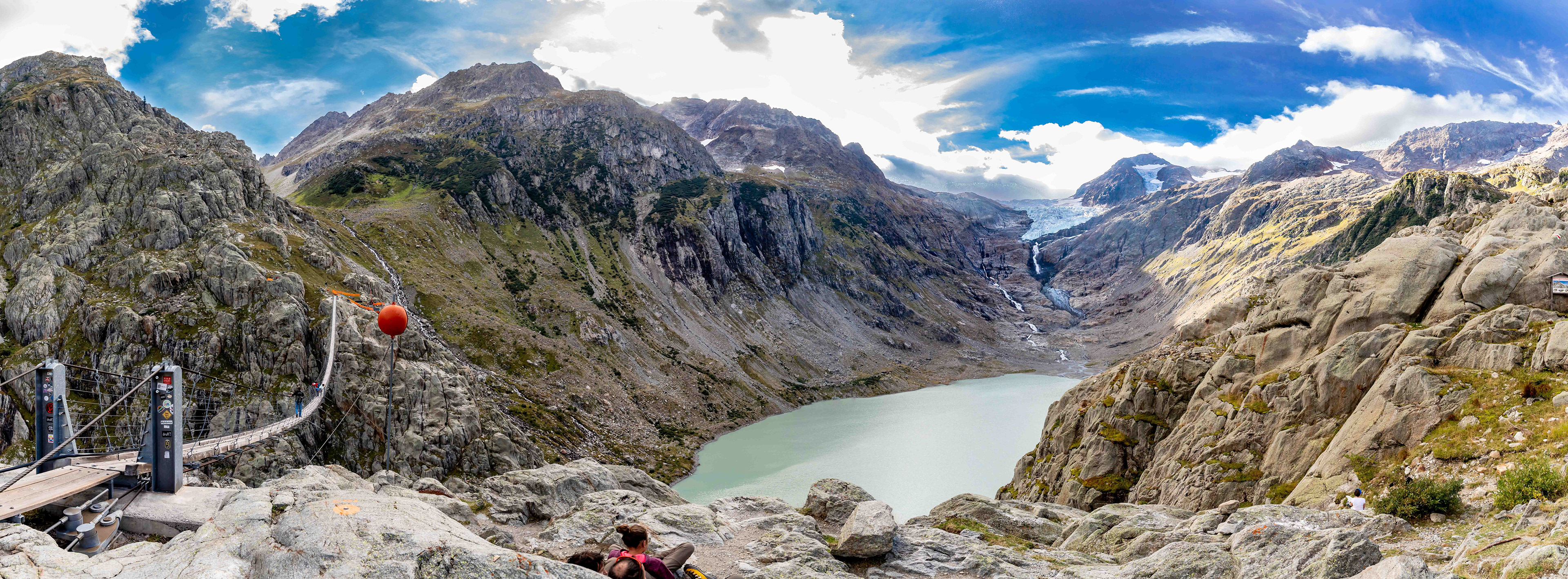
The Trift Bridge is a pedestrian-only suspension bridge spanning 170 m at a height of 100 m. It is considered the longest and highest in the alps.
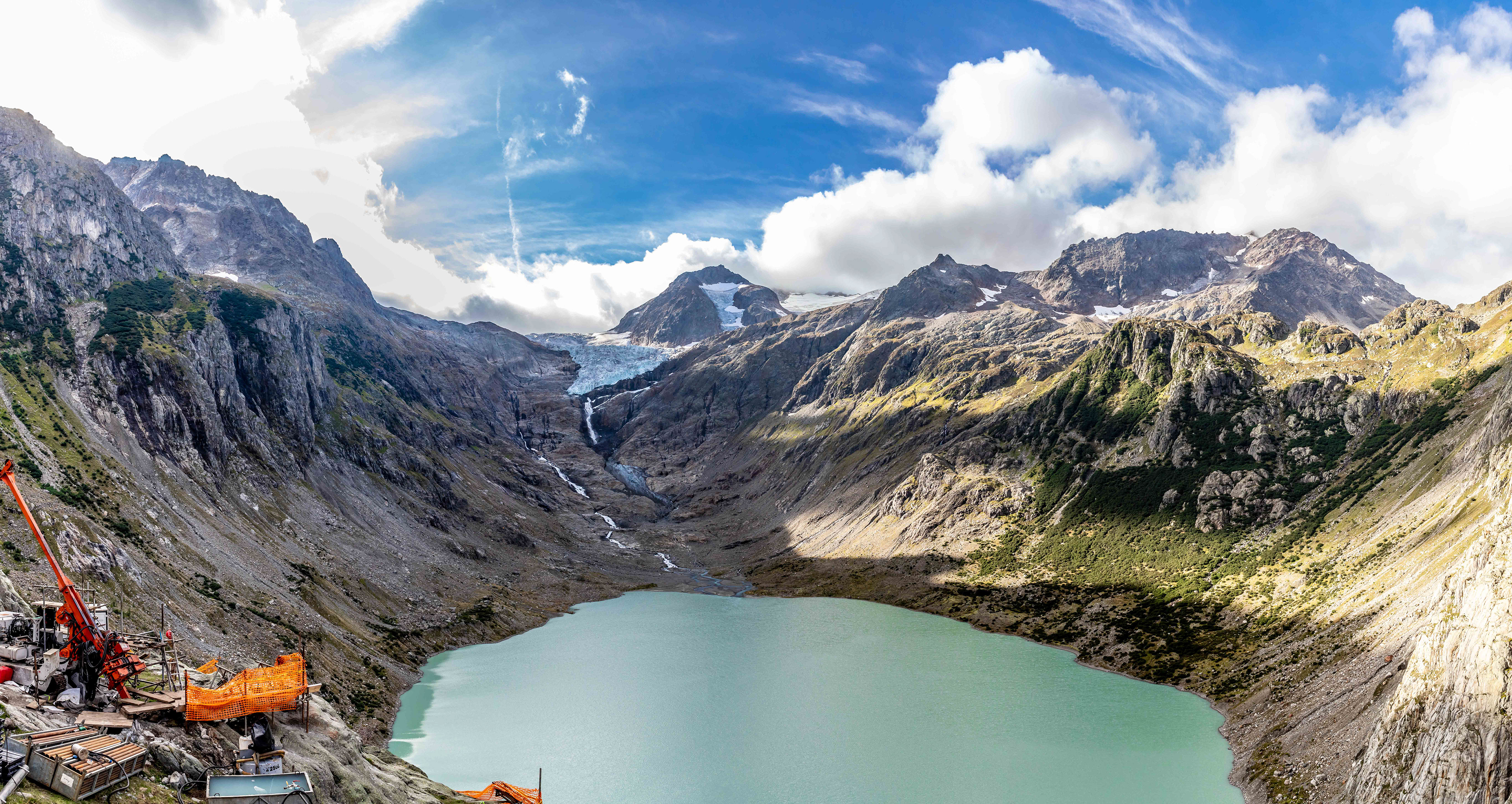
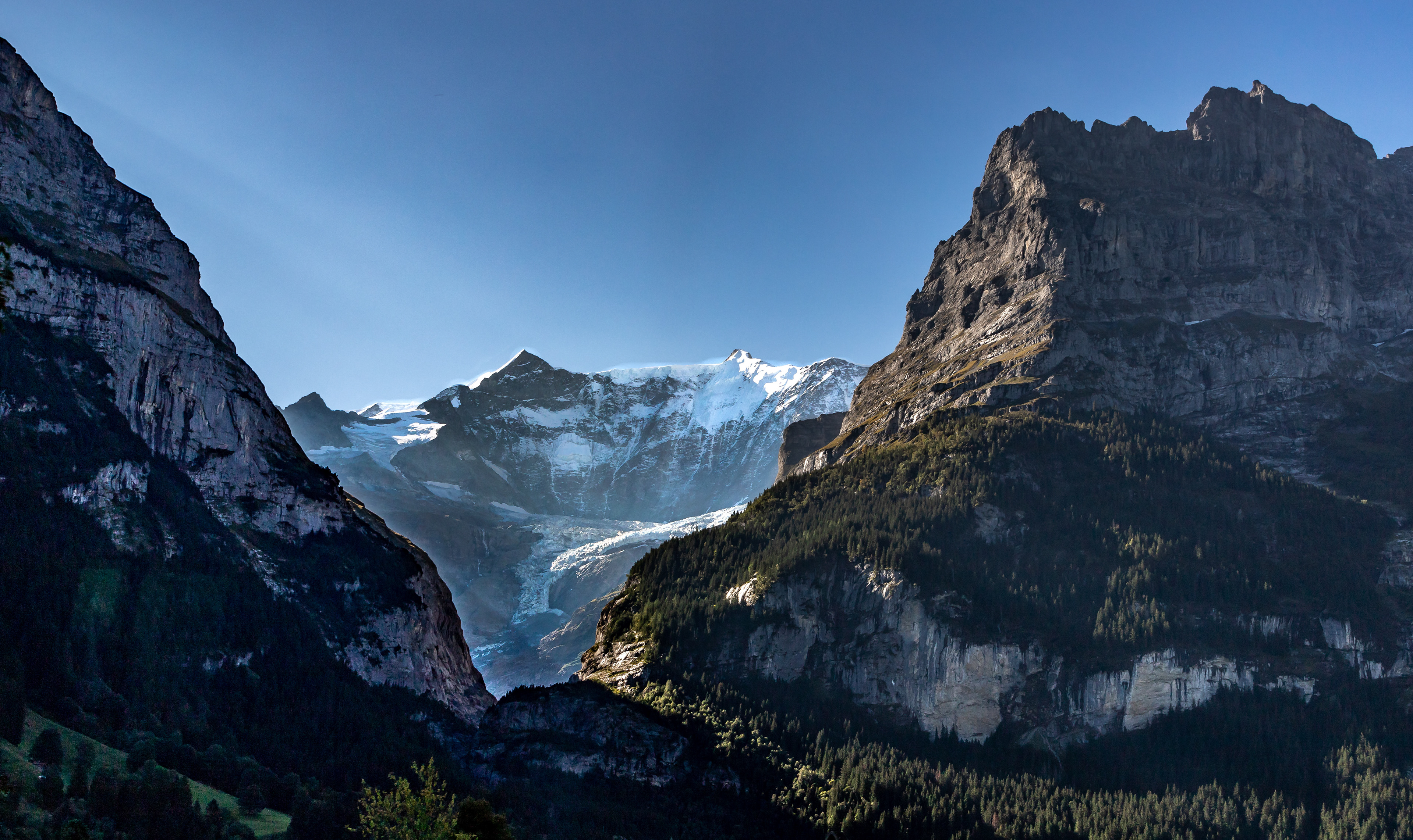
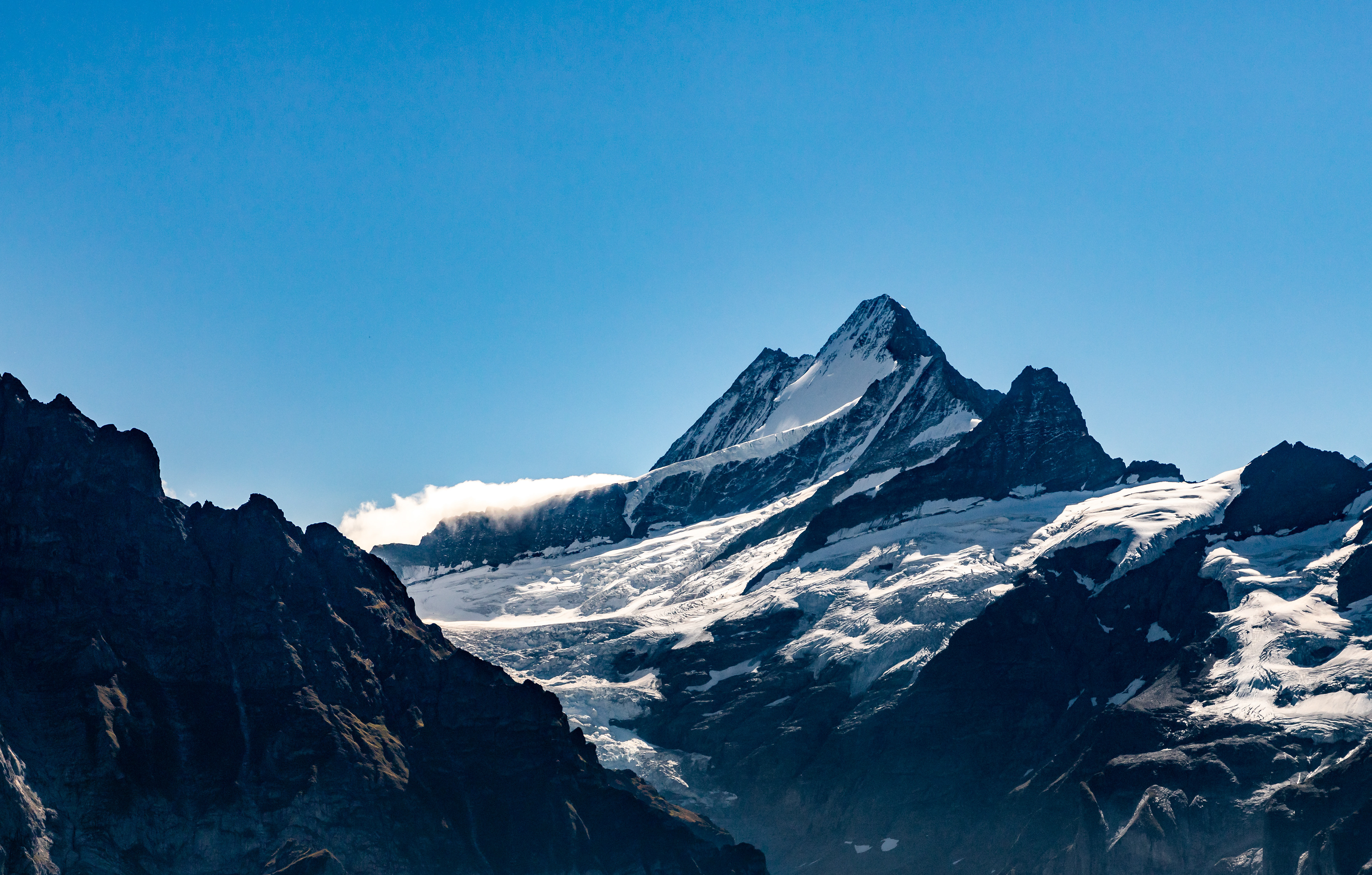
Trift Glacier.
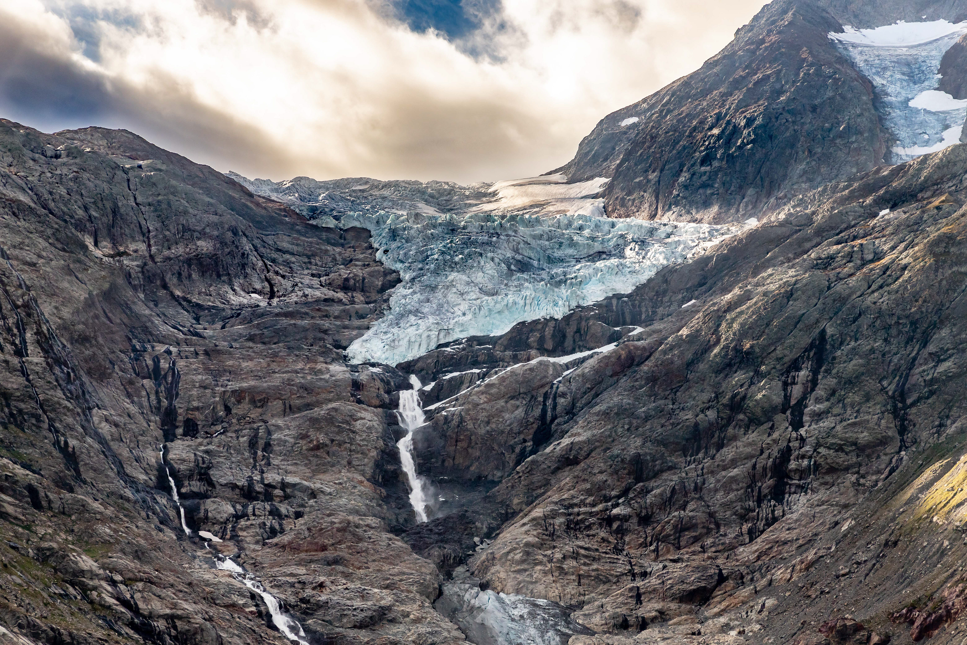
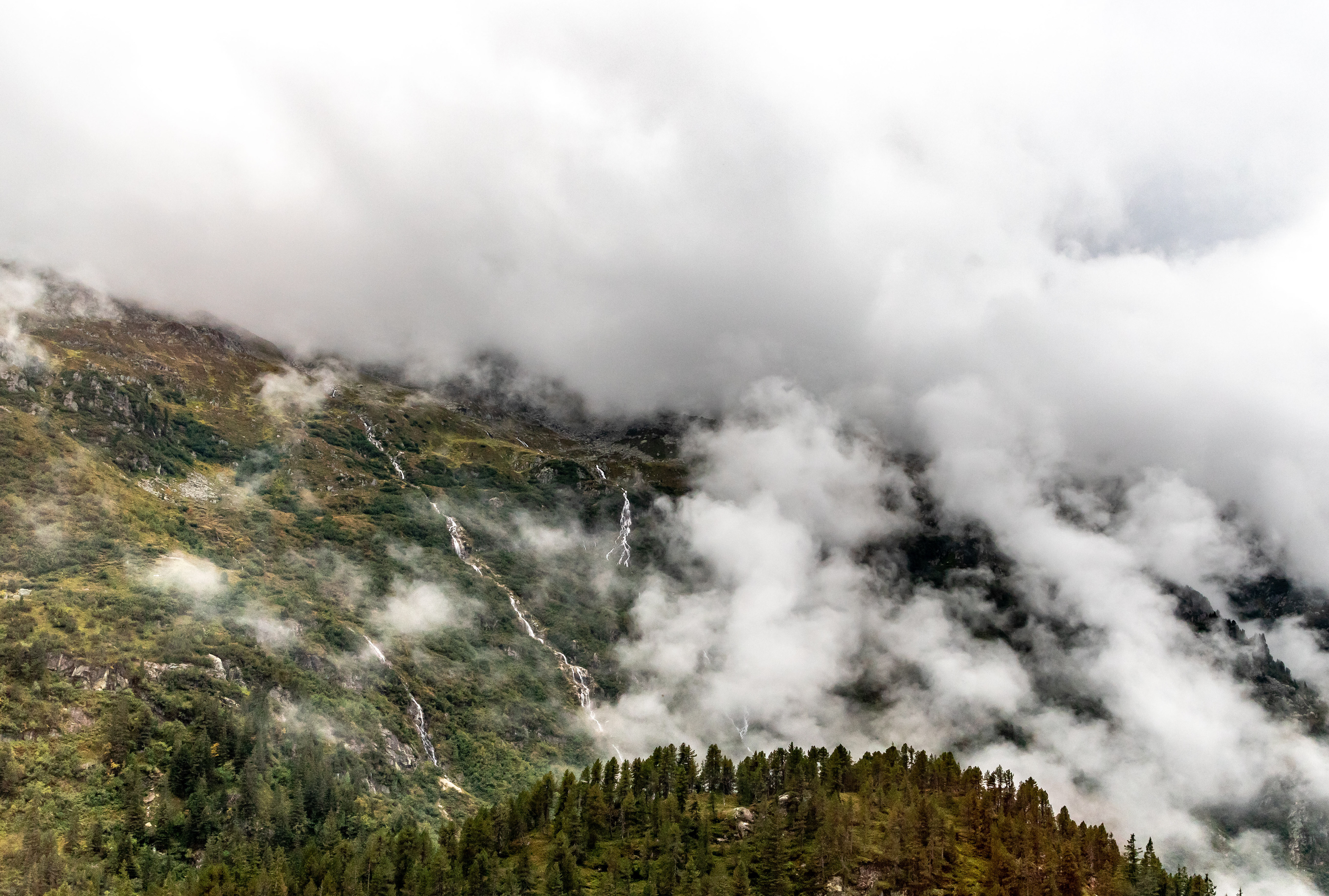
Climate change is impacting significantly on the rate of melting of the glacier.
Eighty five metres from either side
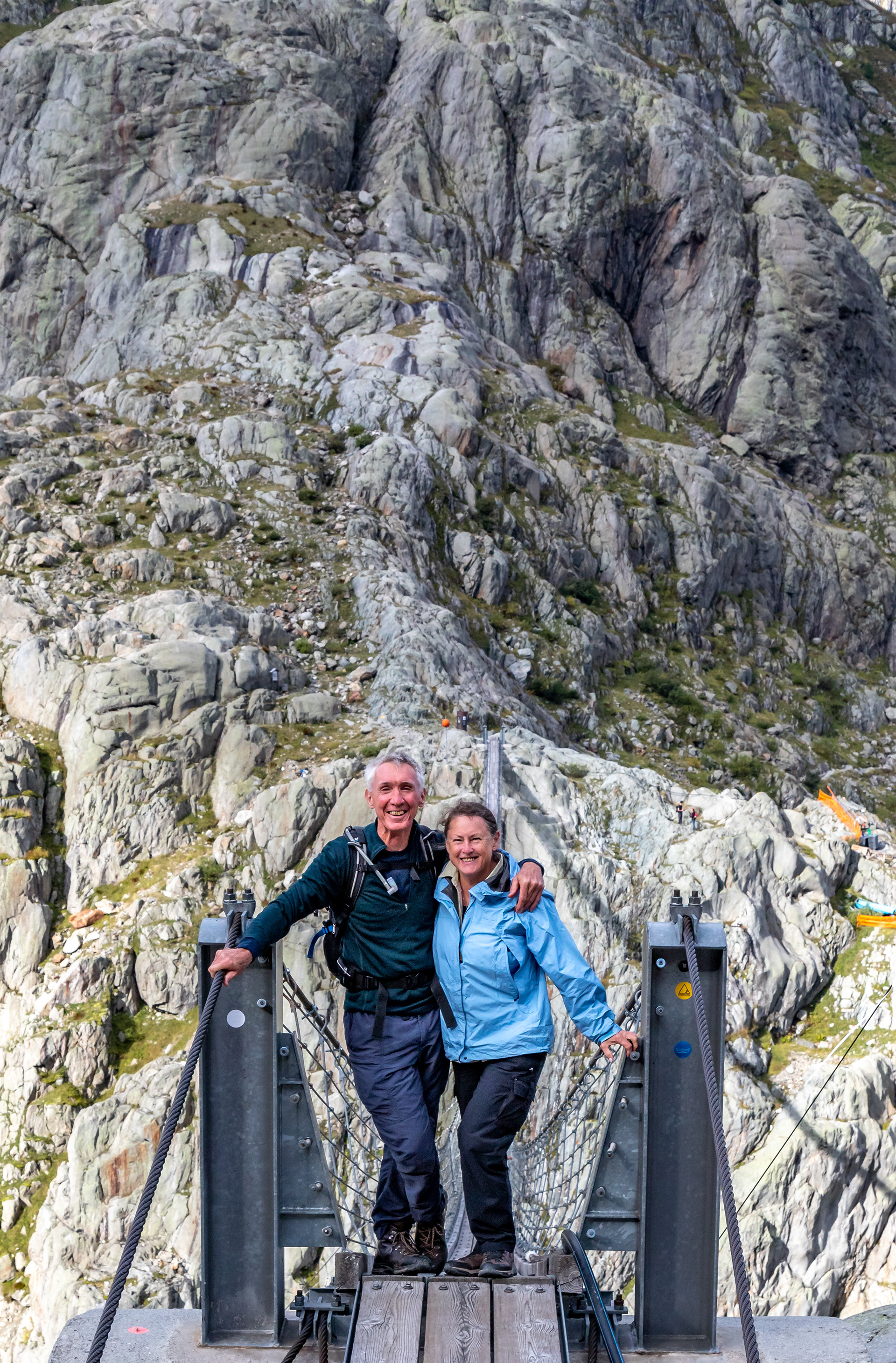
Neal and Jo
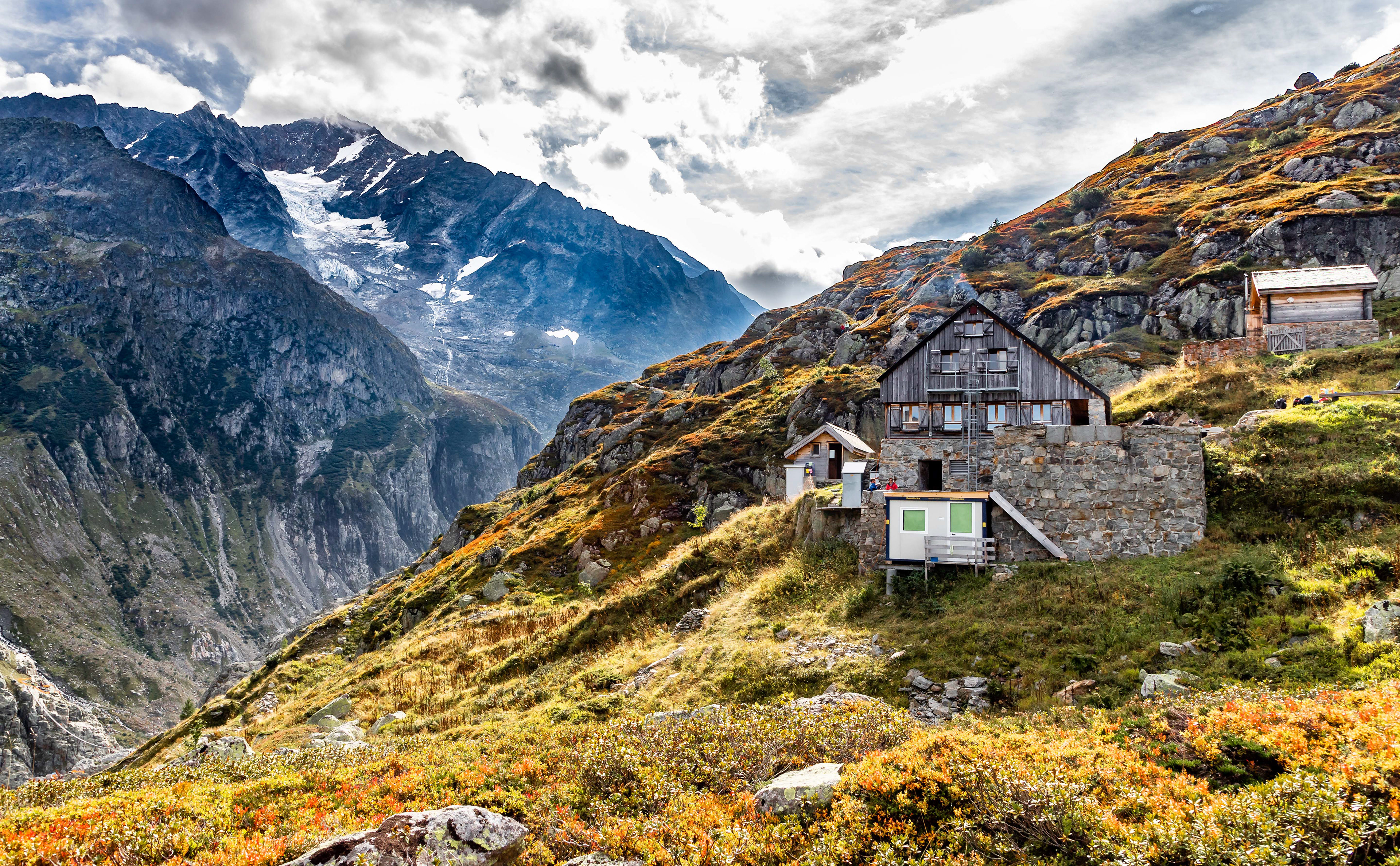
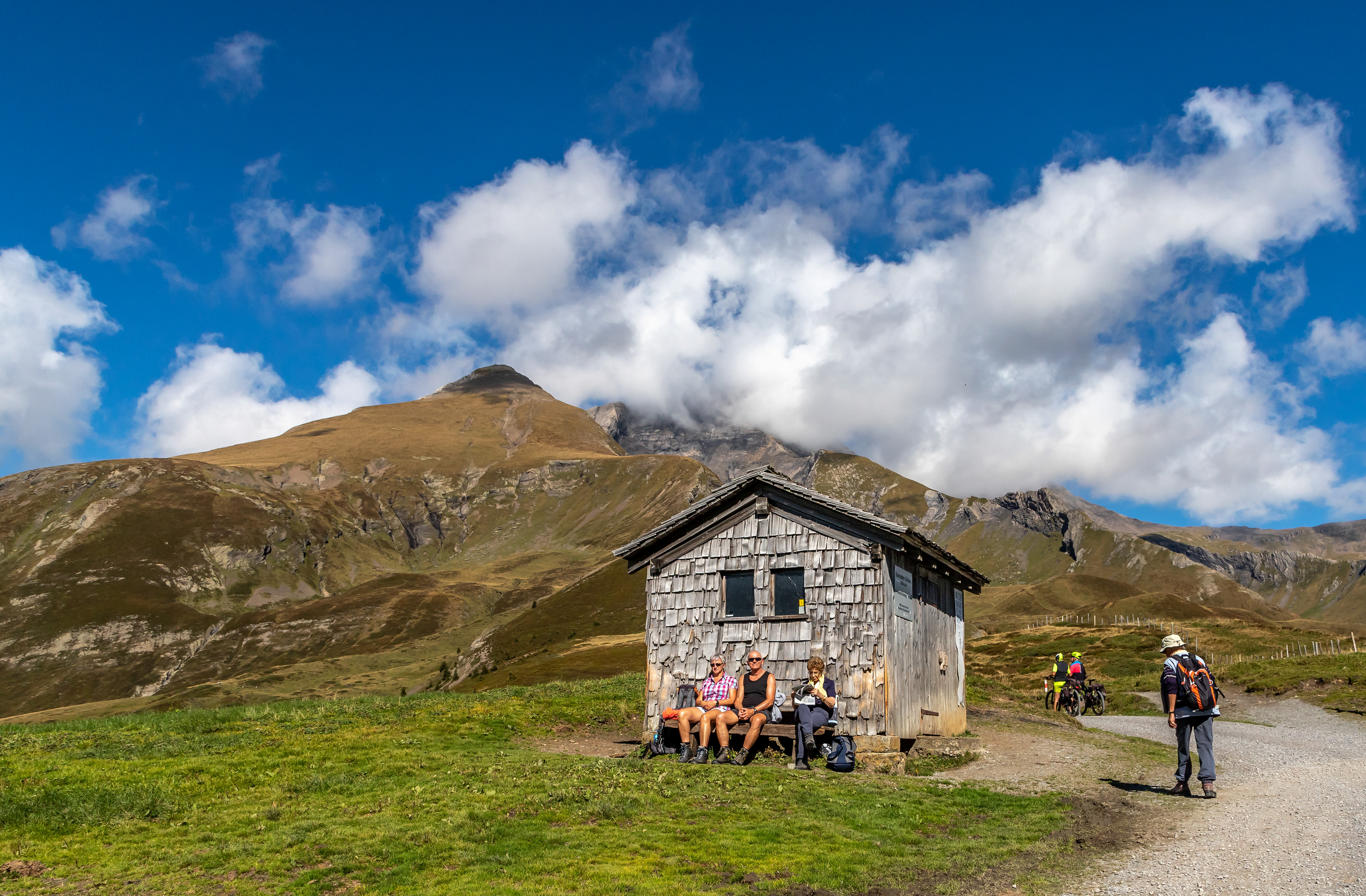
Trift hut at 2520m. Great coffee and cakes

Heading back down to the cable car
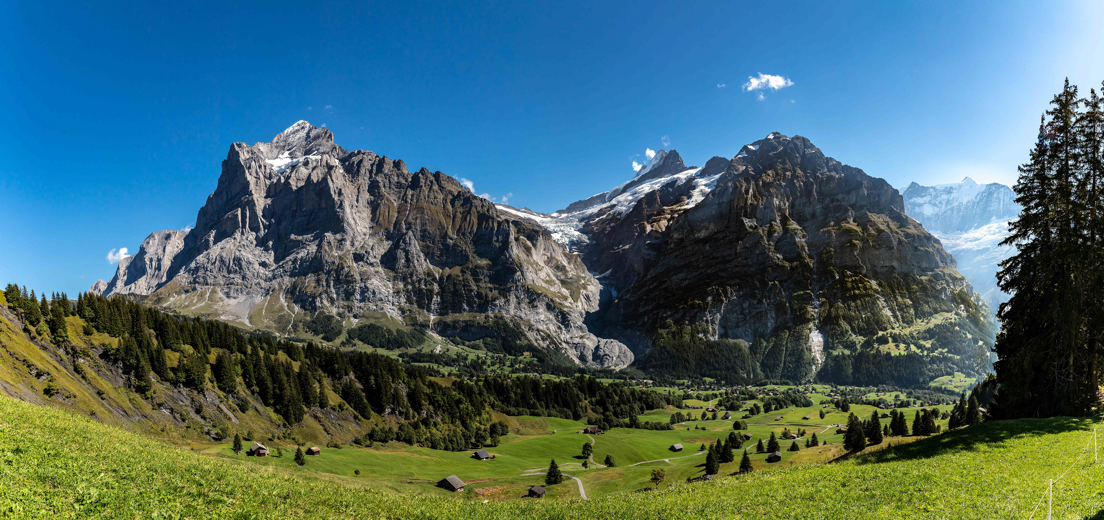
We only had time for 1 day of walking in Grindelwald, a pretty town which hosts loads of tourists keen to enjoy summer and winter sports in a beautiful natural environment.

View from our centrally located hotel, in fact the entry door was on the train platform.

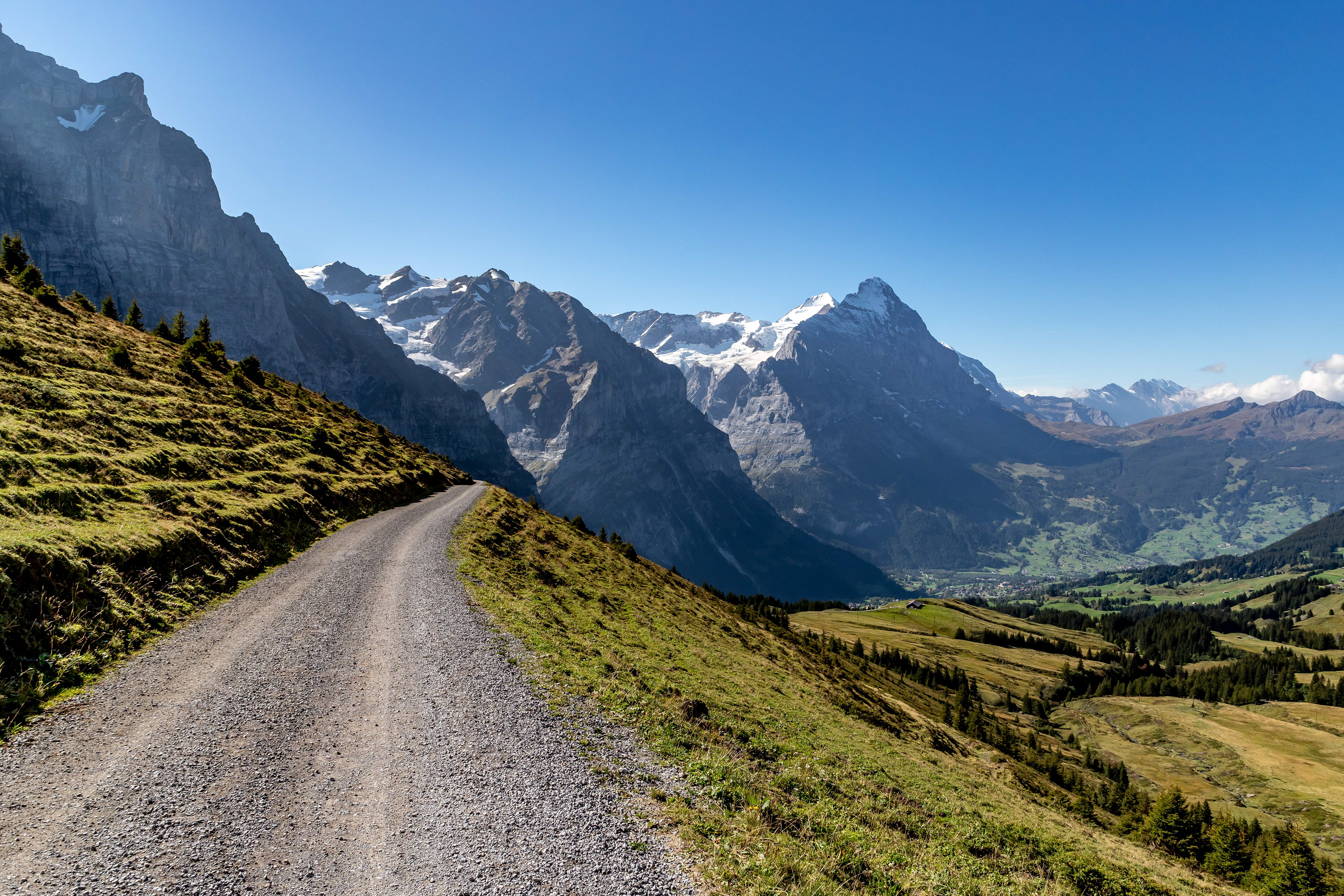
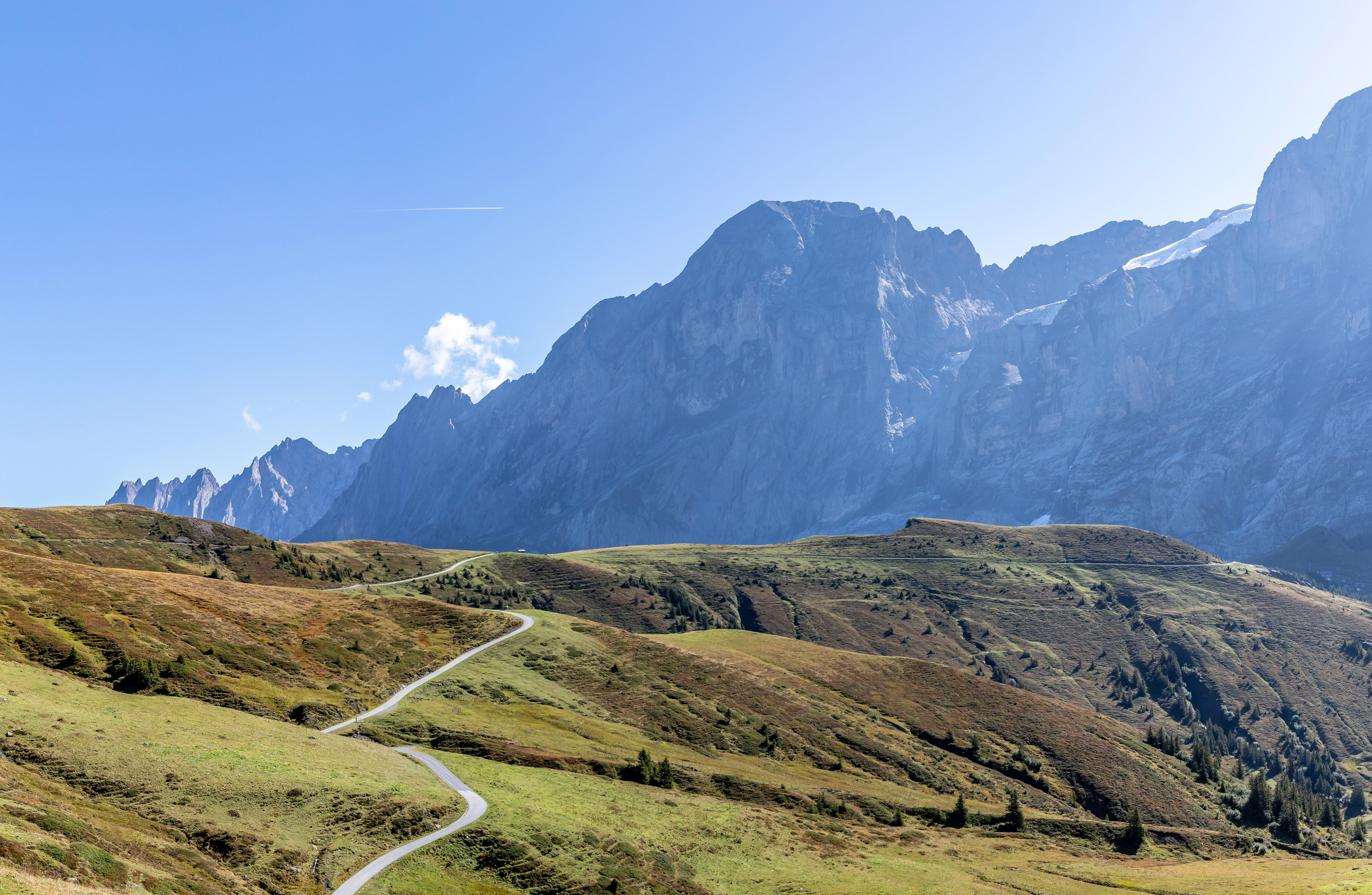
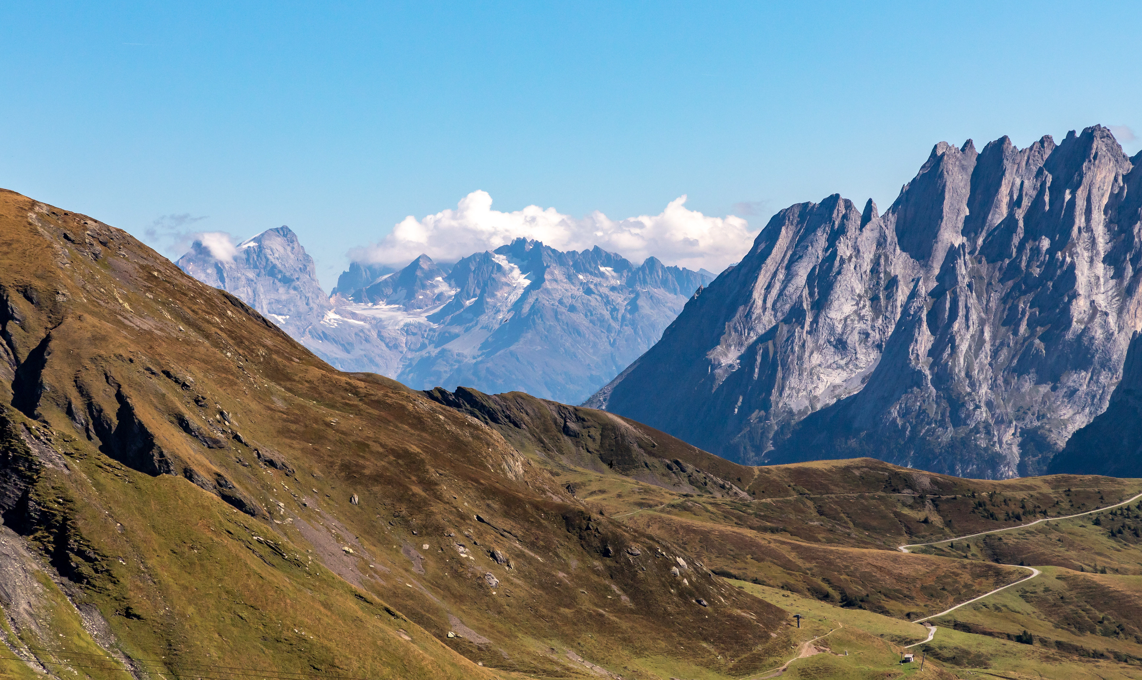
We caught the Post bus from Grindelwald to Scheidegg. This was a great drive of about 10 km including a vertical climb of close to 1000m. The road was very narrow and the scenery brilliant. We then did a 17 km loop back to Grindelwald via First and Waldspitz.

Looking down the valley from Scheidegg (2000 m) to Grindelwald (1000 m)
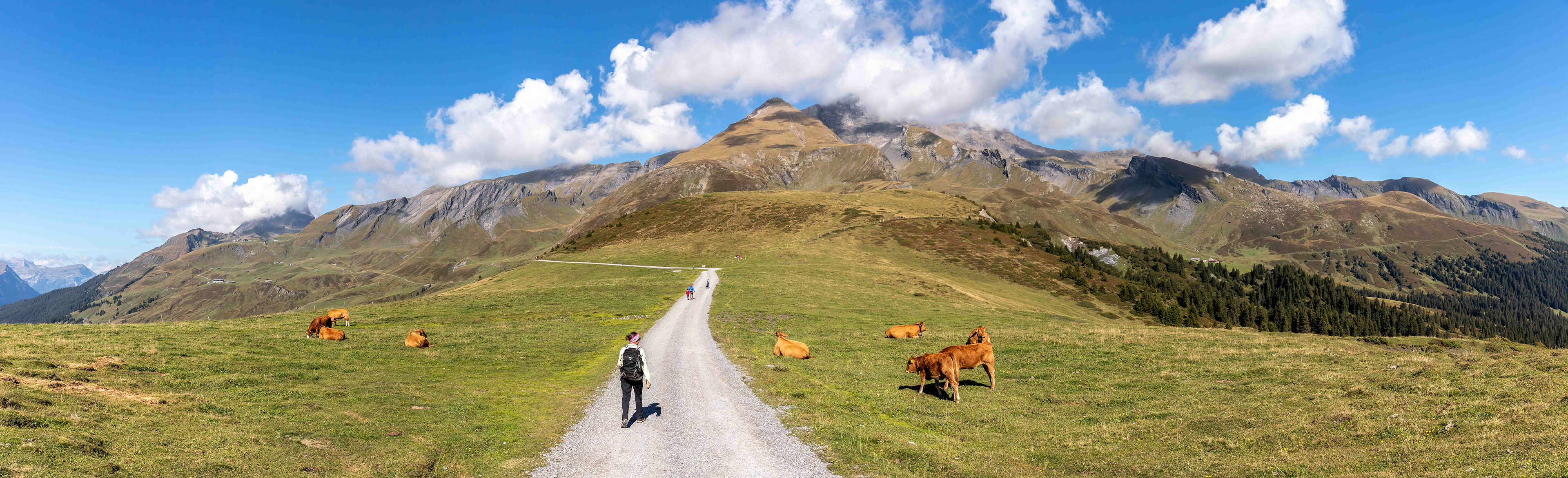
Heading out across the pastures from Scheidegg
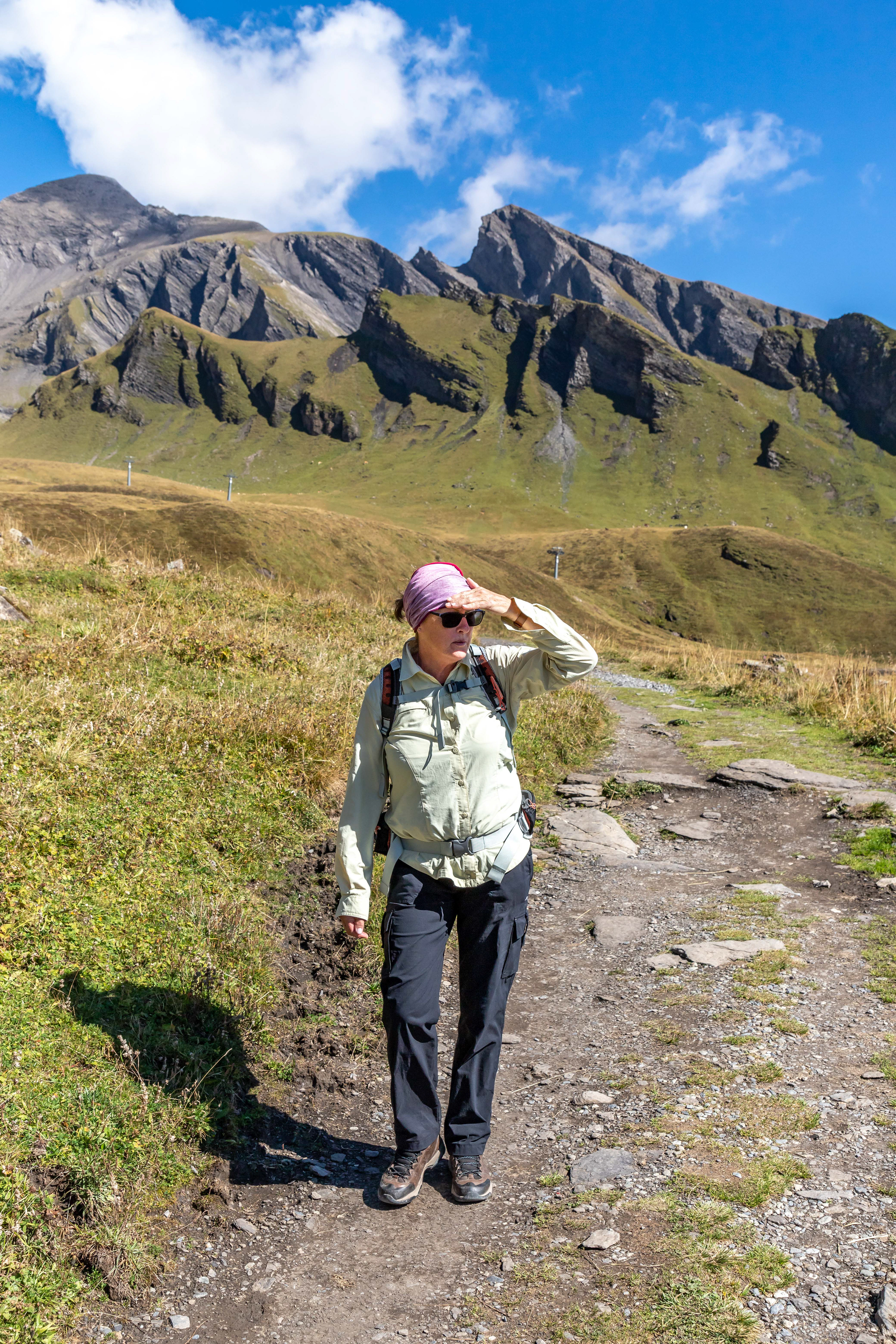
Taking in the rays on the way to First
Still heading for First
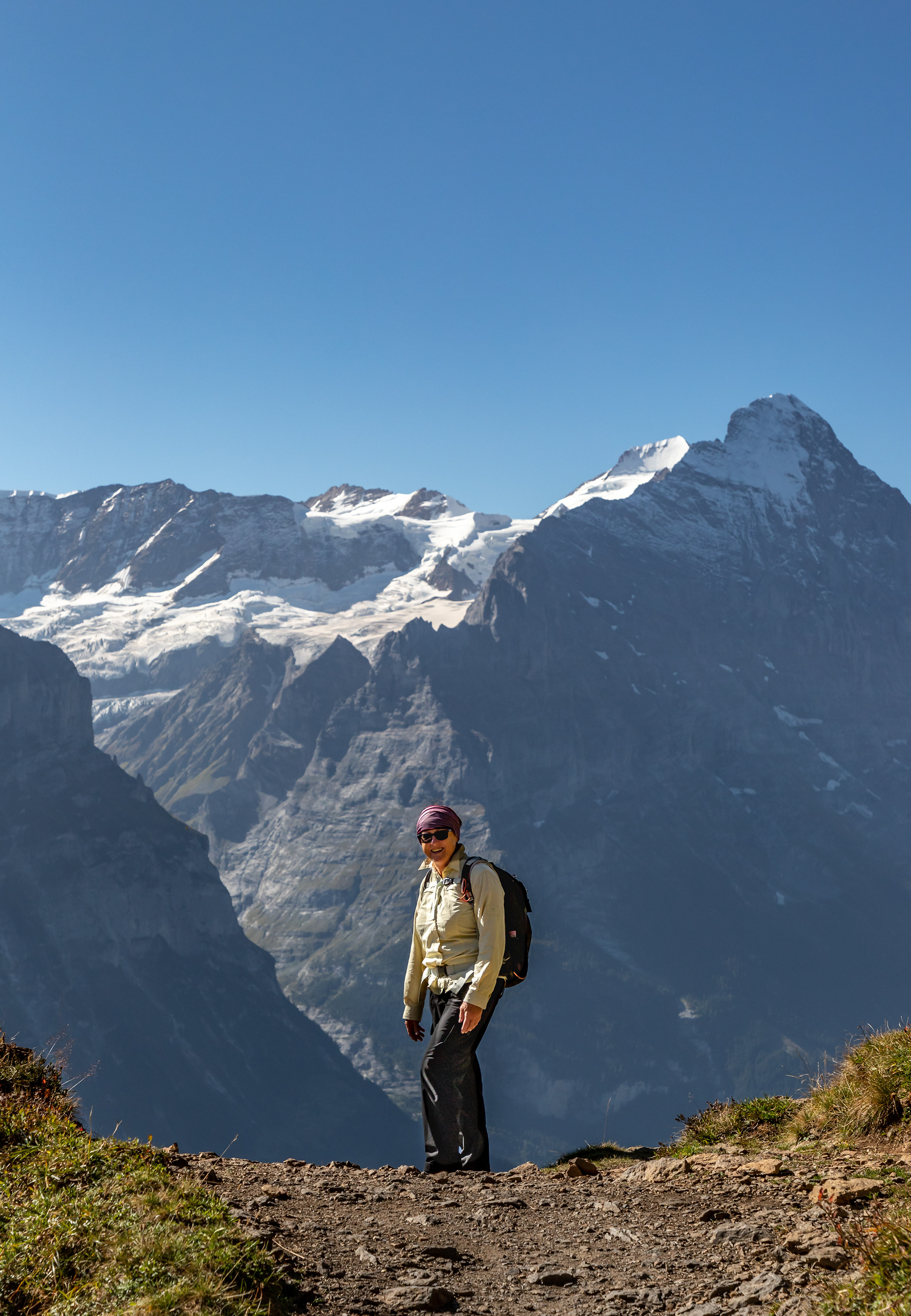
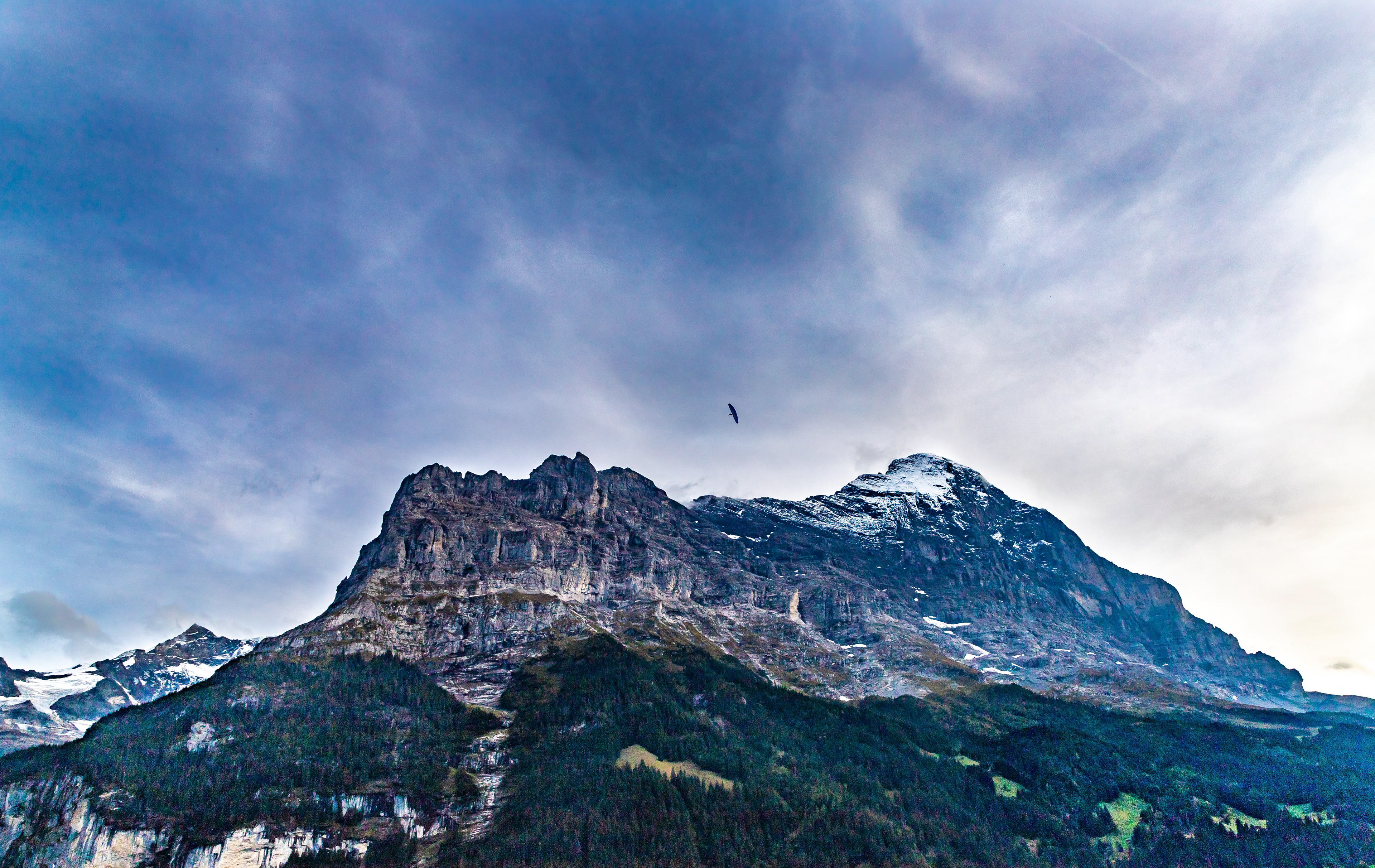
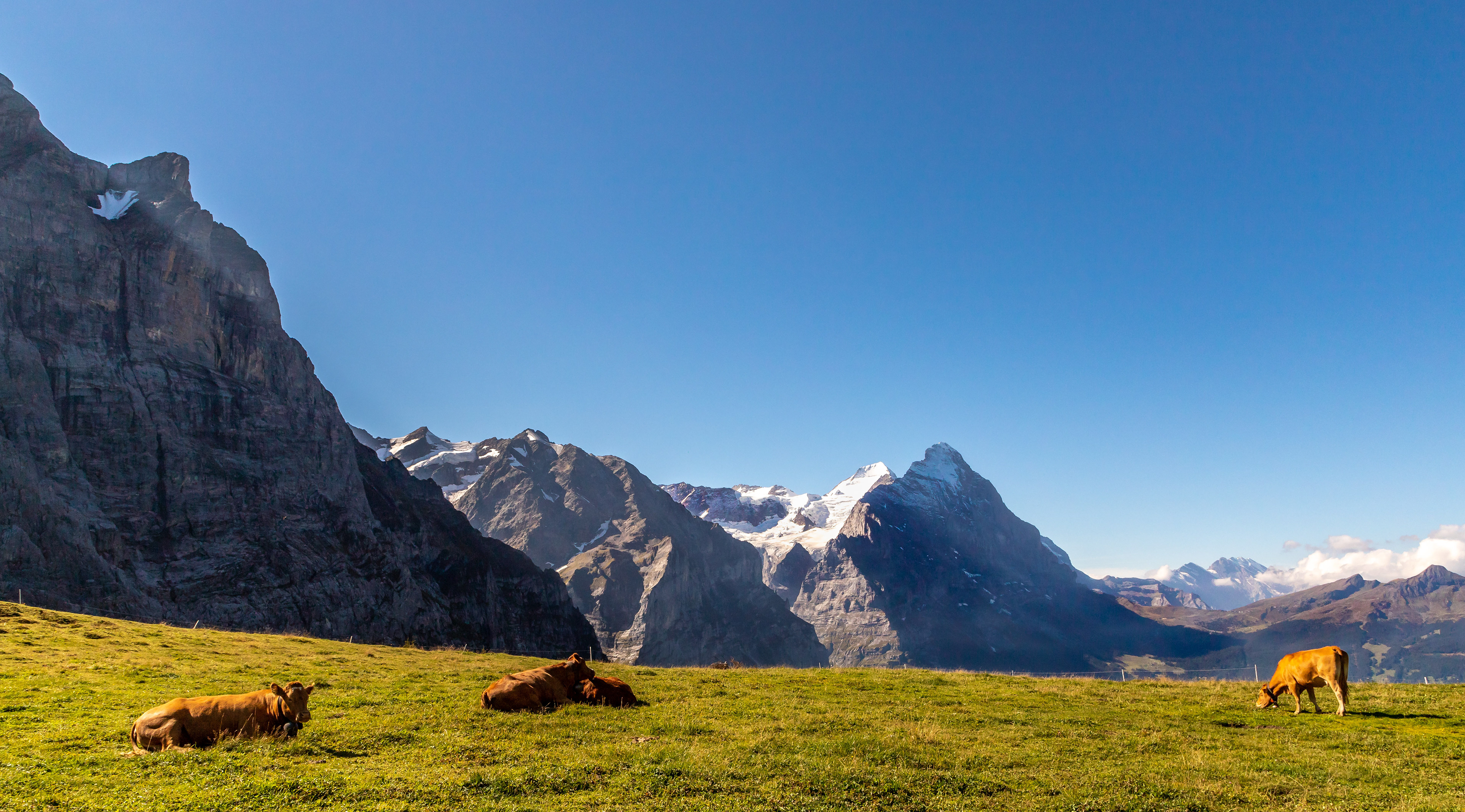
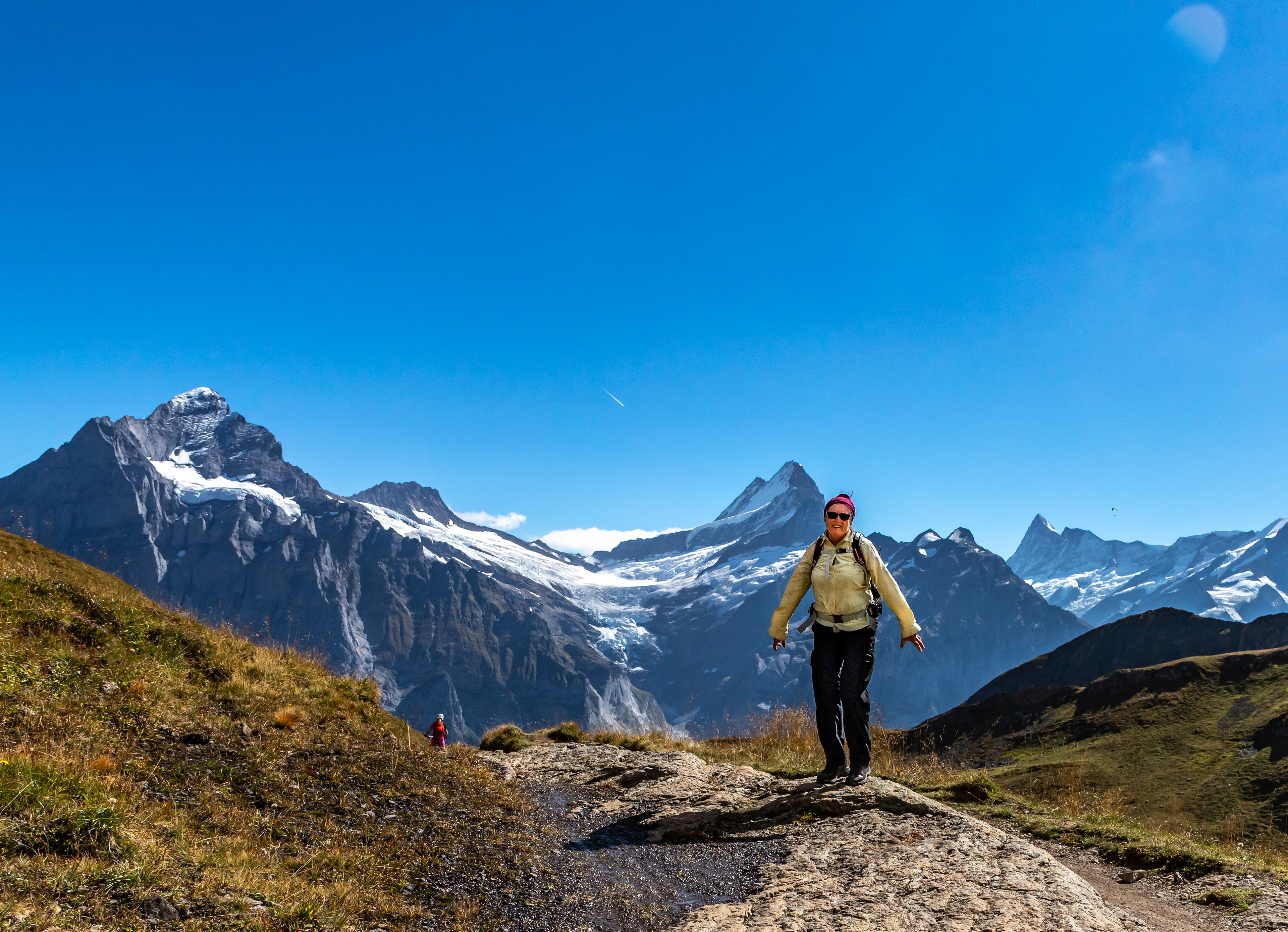
Jo with the Eiger (3970 m) as a backdrop
Yep, I can see the coffee bar
Mist rolls off the Eiger
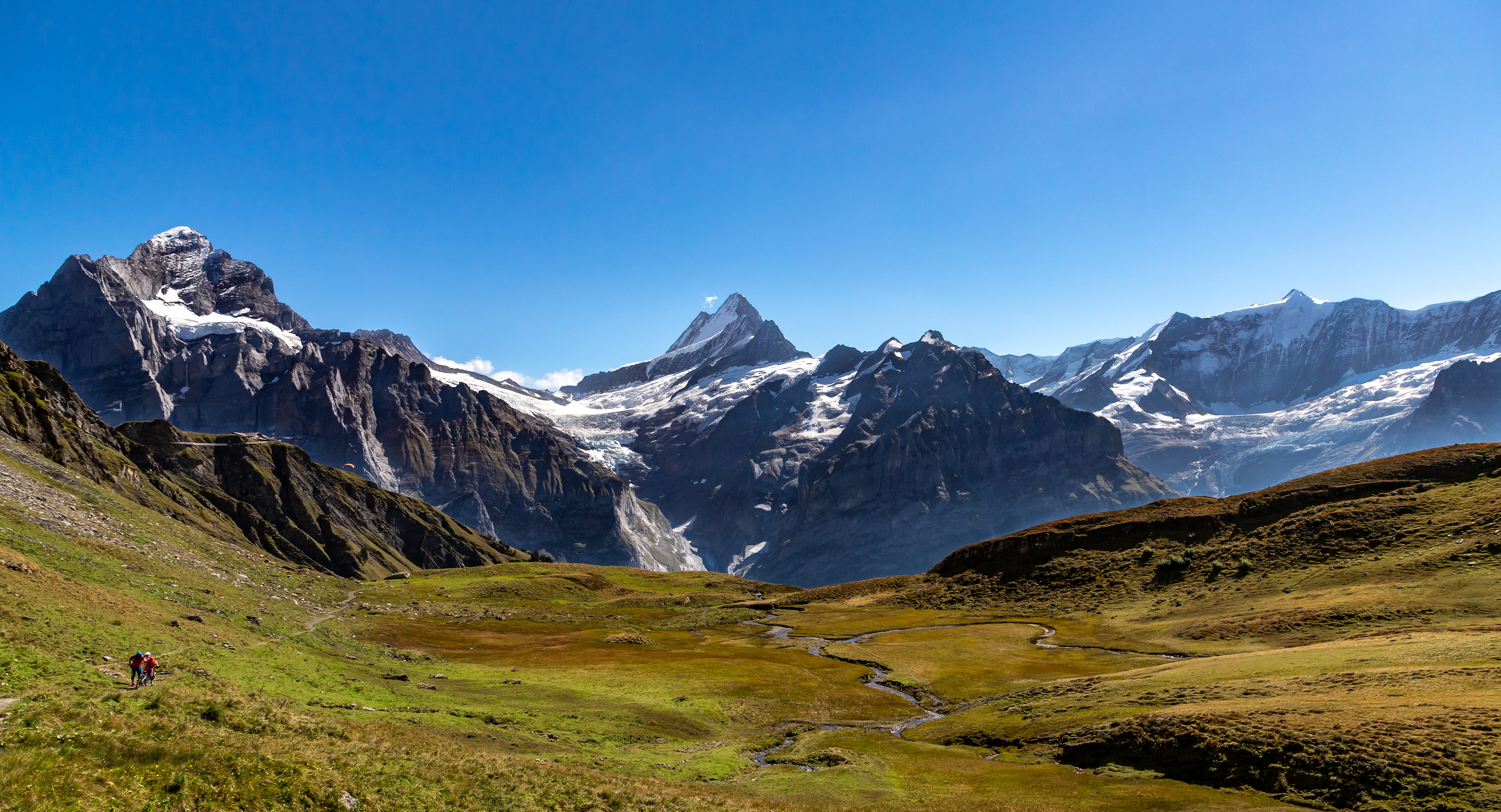
Walkers backstopped by the beauty of the Eiger

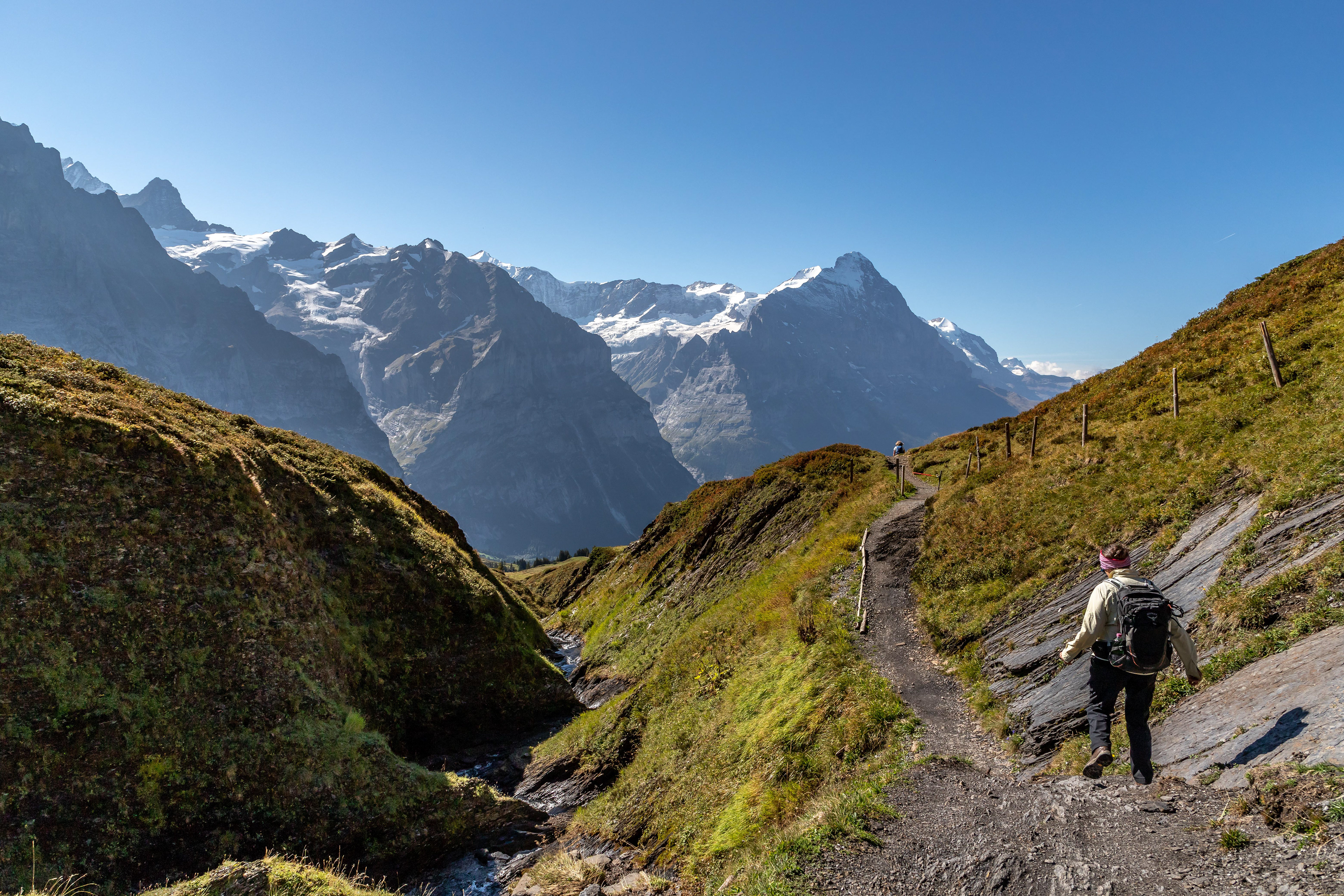
Cliff walk at First (2163 m) with the Eiger in the background. First is promoted as a summer and winter adventure playground.

Lake Bachalpsee, an hour's walk from First
Heading back down into the valley
With this view I reckon you would be happy to get up early to milk the cows (in summer anyway)
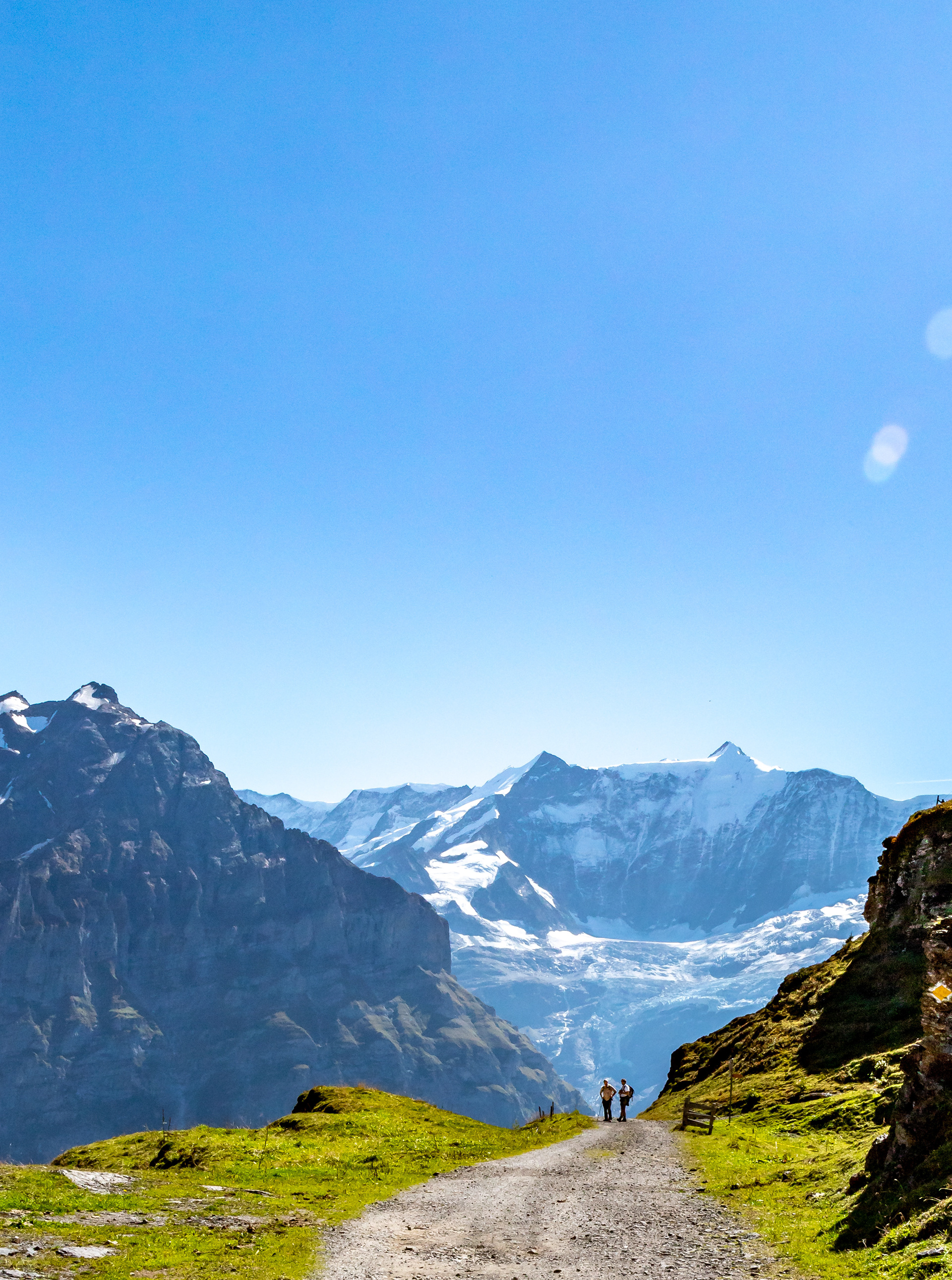
Time for a chat
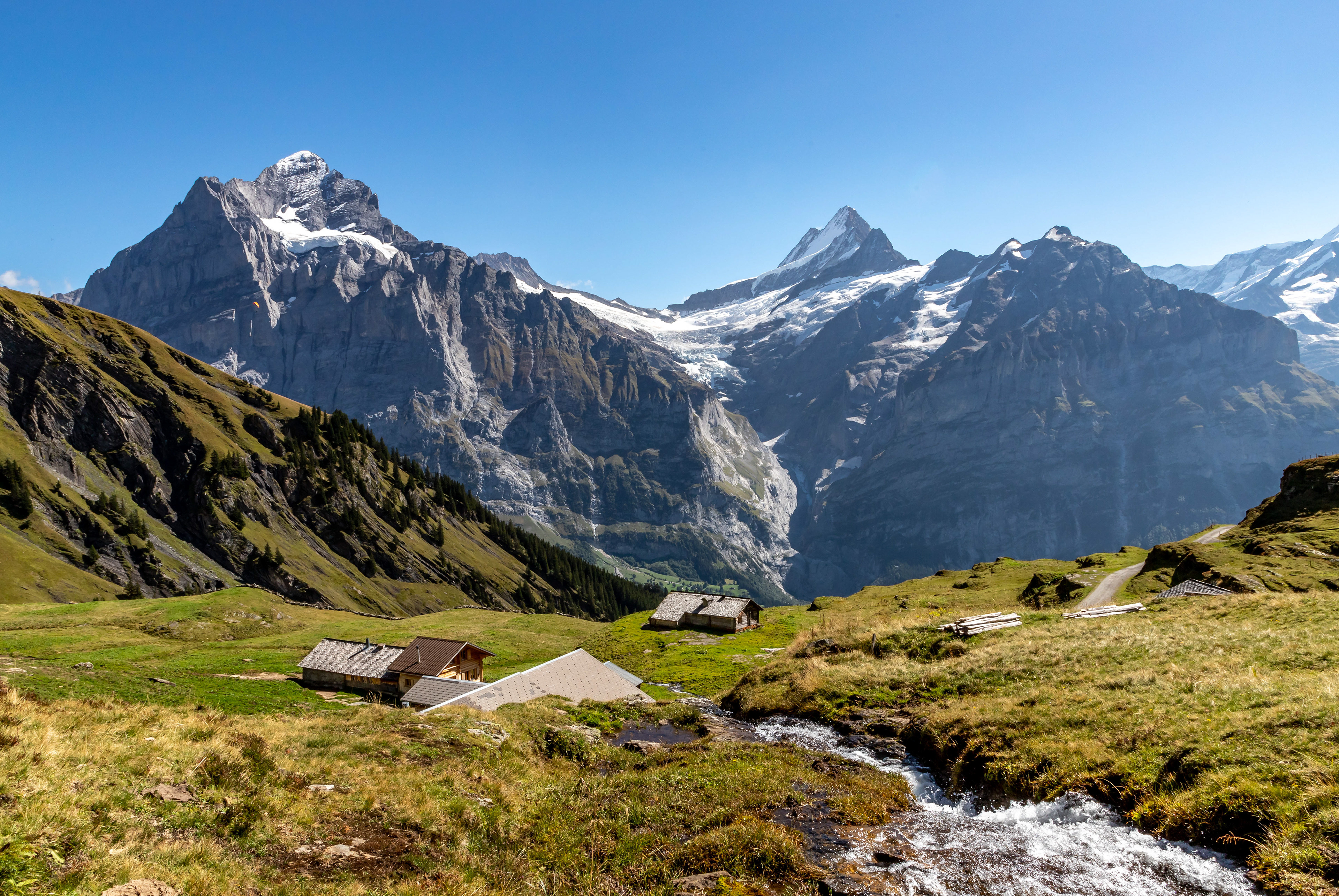
Almost back to Grindelwald